


Your GIS layer says one thing. Your SCADA feed says another. The compliance report is stitched together from three spreadsheets and a maintenance log that a field crew updated last Tuesday. By the time you reconcile all of it, the operational decision you needed to make an hour ago is already stale.
That fragmentation is the real problem water teams face, and it is expensive. Data lives in field apps, GIS platforms, monitoring systems, asset registers, and reporting tools that do not talk to each other. Every decision, from where to dispatch a crew to how to prove compliance, becomes a manual reconciliation exercise. The right water management software collapses that gap by centralizing assets, monitoring, compliance, and field work into one operational picture.
The market reflects the urgency. The global smart water management market is projected to grow from USD 19.47 billion in 2026 to USD 47.14 billion by 2034, an 11.7% CAGR, according to Fortune Business Insights (2025). North America is expected to hold roughly 36.2% of that market in 2026, per Coherent Market Insights (2024). Utilities are not experimenting anymore. They are buying water utility management software to run operations, not just to store records.
If you evaluate operational systems the way a SaaS buyer would, the logic is familiar. You want to replace fragmentation, increase visibility, and buy tools that reduce manual coordination. The same discipline shows up in adjacent categories like business intelligence and location intelligence, where the winner is usually the platform that unifies scattered signal into one decision surface. This guide applies that lens to water.
What's inside
This is a shortlist for buyers comparing operational water systems, not a generic software roundup. We selected eight water management system software tools based on utility operations fit, GIS and mapping support, compliance and reporting workflows, real-time monitoring, analytics and simulation, and platform flexibility. Each pick is mapped to a specific job: asset and work management, GIS-heavy operations, engineering-grade modeling, or compliance-first data governance. If you already know your main bottleneck, you can jump straight to the tool that solves it. If you are still scoping, the comparison table and buyer criteria below will narrow the field fast.
TL;DR
- Best for AI-driven operations: Qatium, for utilities that want an instant digital replica, scenario simulation, and AI-assisted prioritization.
- Best for asset and work management: iWorQ, for cities and towns running practical cloud software across work, assets, and permits.
- Best for compliance workflows: Locustec (Locus), for EHS and environmental compliance software with configurable apps and reporting.
- Best for modeling and decision support: RTI International and Bentley Systems, for technically sophisticated water resources management software and hydraulic simulation.
- Best for GIS-first teams: Esri, for spatial analysis, network visualization, and field mapping built on ArcGIS.
- Best for network modeling: Innovyze, for utility engineering, planning, and simulation workflows.
- Best for water data governance: Aquatic Informatics, for lab, field, and monitoring data with defensible reporting.
What is water management software?
Water management software is a category of tools that centralize water utility and operations data, including assets, monitoring feeds, field work, GIS layers, and compliance records, into one system that supports faster operational decisions and reporting.
Water data management software sits at the center of modern utility operations because it replaces disconnected spreadsheets and siloed systems with a single operational picture. Whether you call it water utility management software, water system management software, or operational water intelligence, the core job is the same: turn scattered inputs into decisions crews can act on.
Here is what buyers should expect from a capable platform:
- Centralized data: One source of truth across field, GIS, SCADA, asset, and lab systems.
- GIS mapping: Spatial visualization of pipes, valves, meters, and network assets. GIS water management software makes location the anchor for every record.
- Compliance and reporting: Automated water compliance software workflows for permits, sampling, and regulatory submissions.
- Water workflow automation: Routing, task assignment, and mobile field data capture that removes manual coordination.
- Analytics and monitoring: Water monitoring software with real-time water monitoring, anomaly detection, and trend analysis.
- Simulation and forecasting: Water simulation software for hydraulic modeling, pressure management, and scenario planning.
- Modular architecture: A modular water platform that lets teams start with one need and add capabilities without re-platforming.
The strongest cloud water management software combines several of these into one operational layer, so decisions get made before crews are dispatched, not after.
When to use water management software
Not every team needs every capability at once. Use these situations to pattern-match to your own reality.
When water data lives in too many systems
If your GIS, SCADA, asset register, and compliance logs each hold a partial truth, you are spending hours reconciling instead of deciding. Centralized water data management software gives you one operational picture and cuts the manual stitching.
When field teams need mapping and task visibility
If crews work from paper, texts, or a mapping tool that does not sync back to the office, work gets duplicated and assets go stale. GIS water management software with mobile field data keeps everyone on the same map and the same task list.
When compliance and reporting slow operations
If preparing a regulatory report means chasing three departments, water compliance software with automated reporting turns a multi-day scramble into a repeatable workflow. Water reporting software with audit trails also protects you during review.
When you need forecasting, simulation, or real-time monitoring
If you are planning capital projects, managing pressure zones, or reducing leakage, you need water simulation software and real-time water monitoring. Decision support for water utilities depends on being able to model a change before you make it.
Comparison table
The table below sorts the eight tools by relevance to core water operations. Pricing and ratings reflect verified public sources where available; several vendors in this category quote based on scope, so pricing is marked accordingly. Use this as a shortlisting shortcut for water system management software, then read the sections that match your bottleneck.
| # | Product | Intent | Key use case | Pricing | G2 rating |
|---|---|---|---|---|---|
| 1 | Qatium | AI water operations | Digital replica, simulation, real-time monitoring | Free tier available; Enterprise custom | 4.6/5 |
| 2 | iWorQ | Asset and work management | Cloud public-works suite with GIS and reporting | No per-seat licensing; contact vendor | 3.8/5 |
| 3 | Locustec (Locus) | Compliance and EHS | Configurable compliance, ESG, and water apps | Subscription; contact vendor | Not rated on G2 |
| 4 | RTI International | Decision support | Research, forecasting, and modeling services | Quote-based | Not listed |
| 5 | Bentley Systems | Engineering and modeling | Hydraulic simulation and digital twin workflows | iTwin Premium from $499/month; Enterprise custom | 4.1/5 |
| 6 | Esri | GIS operations | Spatial analysis and network visualization | Annual user licenses; contact vendor | 4.4/5 |
| 7 | Innovyze | Network modeling | Water and wastewater simulation and planning | Quote-based | 4.3/5 |
| 8 | Aquatic Informatics | Water data management | Lab, field, and compliance data governance | Quote-based | 5.0/5 |
1. Qatium
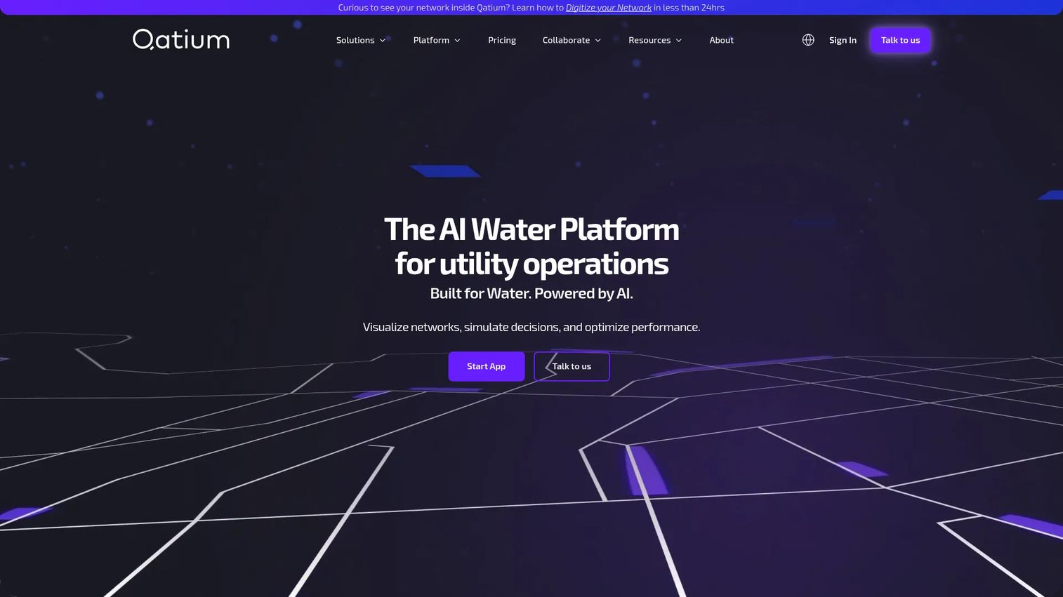
Qatium is an AI water platform built for utility operations and planning. It creates a digital replica of your network, then layers scenario simulation, anomaly warnings, and an easy model builder on top so operators get instant network understanding without a heavy modeling project. The platform positions itself around real-time water monitoring, leakage reduction, pressure management, and water quality visibility, all surfaced through network visualizations that make the whole system legible at a glance.
Best for: Water utilities that want a digital water operations platform with AI-assisted prioritization instead of a standalone modeling seat.
Key strengths
- Network visualizations: See the whole distribution network in one view, with assets and flows mapped spatially for fast operational reads.
- Warnings for anomalies: Automated alerts surface pressure, quality, and flow anomalies before they become field emergencies.
- Easy model builder: Build and adjust a hydraulic model without a long implementation, so scenario simulation supports day-to-day decisions.
Why choose Qatium: If your bottleneck is understanding your network fast and acting on it, Qatium compresses the gap between data and decision. It fits utilities that want decision support for water utilities baked into the operational view rather than bolted on through a separate engineering tool. The AI-assisted prioritization is the differentiator for teams that need to know what to fix first.
Qatium pricing: Qatium lists Q-one and Q-plus tiers at a free entry point, with an Enterprise plan quoted custom based on scope. The vendor also references a free account and an Impact Program for eligible organizations. Confirm current terms directly, since the entry tiers carry conditions. Qatium holds a 4.6/5 rating on G2.
2. iWorQ
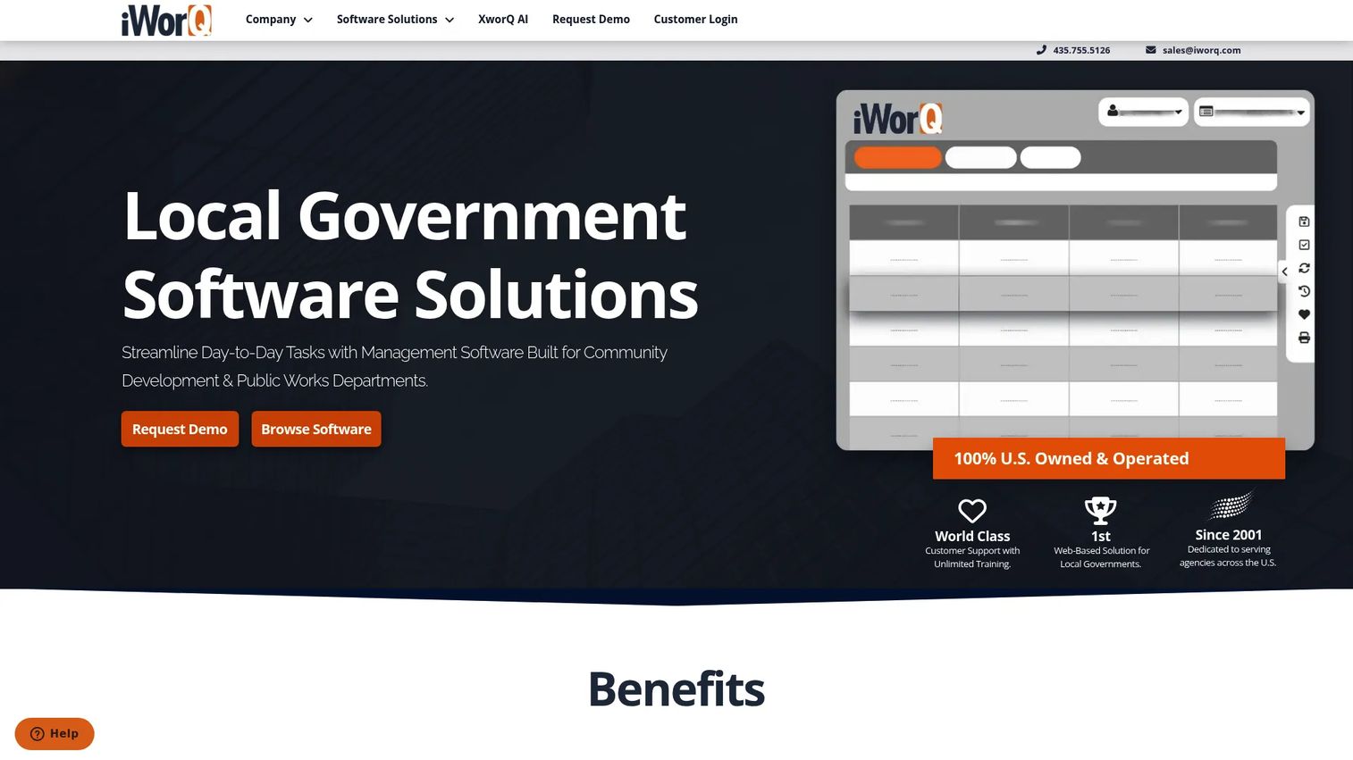
iWorQ is cloud-based local government software covering public works and community development workflows. For water teams, that means water asset management software plus work orders, permits, code enforcement, fleet, and facility modules in one suite. Field and office staff share the same records through mobile access, and GIS mapping ties asset inventory and maintenance to location. It is a practical fit for cities, counties, and towns that want utility asset tracking without stitching together five point tools.
Best for: Municipal water and public-works teams that need cloud software for water asset operations and work tracking.
Key strengths
- Mobile access: Field and office staff work from the same system, so asset and work data stays current without re-keying.
- Modular suite: Work, permit, code enforcement, asset, fleet, and facility management run under one roof, reducing tool sprawl.
- Unlimited support and upgrades: Training, support, and upgrades are included, which lowers the ongoing burden on lean teams.
Why choose iWorQ: iWorQ suits teams that value operational simplicity over deep engineering modeling. If your priority is keeping asset inventory accurate, scheduling maintenance, and producing water reporting software output for council or state, iWorQ handles the day-to-day without heavy configuration. The unified suite is the draw for small government teams.
iWorQ pricing: iWorQ states a straightforward pricing structure with no per-seat licensing fee, but does not publish a numeric price. Contact the vendor for a quote scoped to your modules. iWorQ holds a 3.8/5 rating on G2.
3. Locustec
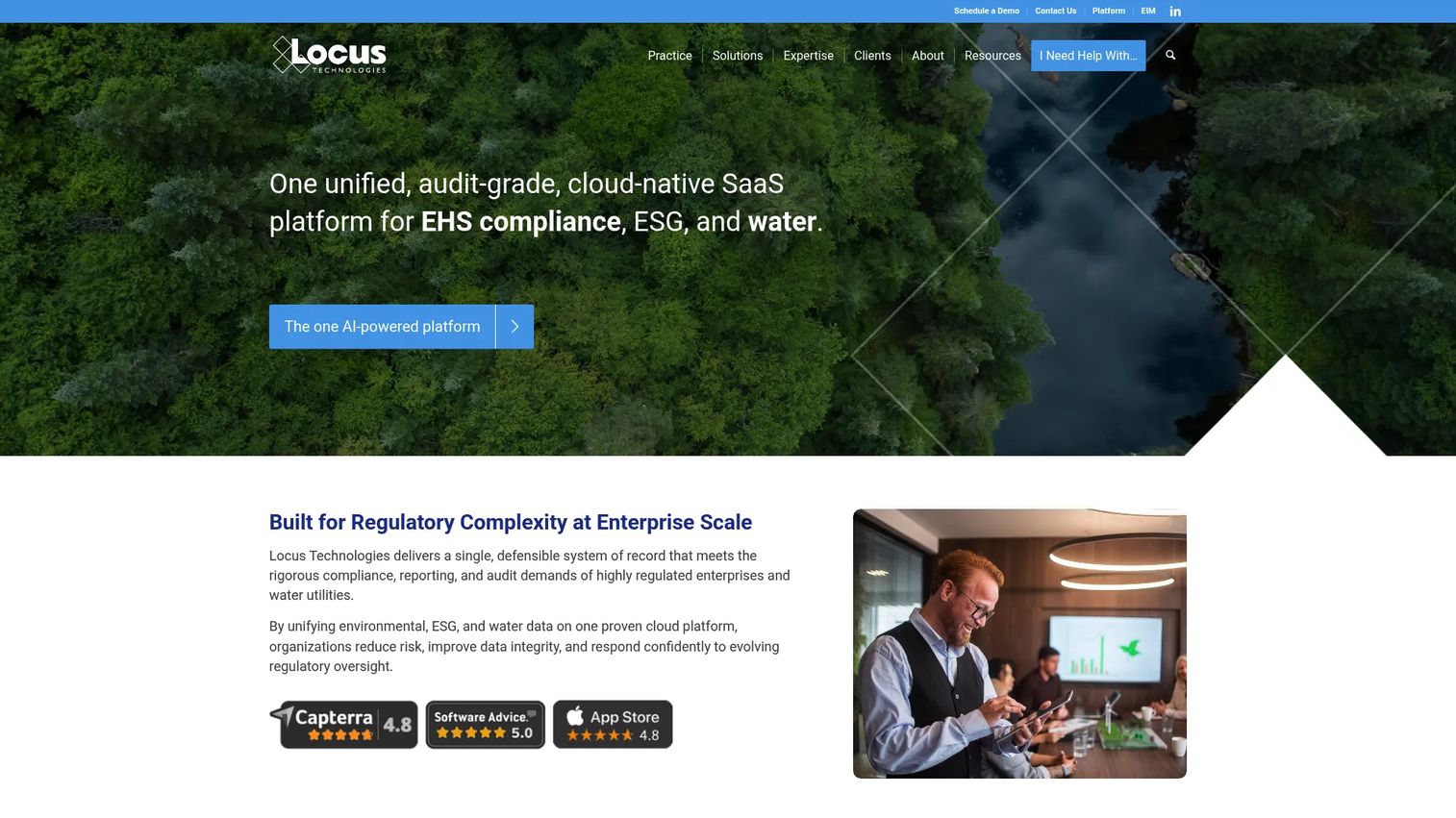
Locustec, branded as Locus Technologies, is a cloud-native SaaS platform for EHS compliance, ESG, and water management. It is a capabilities-first option for utilities modernizing operations, combining water compliance software with centralized data, governance, GIS, mobile field data, analytics, and IoT monitoring. The no-code and low-code configuration lets teams build custom apps on top of more than 30 purpose-built ones, so the platform bends to your compliance and reporting reality instead of the other way around.
Best for: Enterprises and utilities that need configurable environmental compliance and sustainability software with strong governance.
Key strengths
- 100% cloud SaaS: A fully cloud water management software platform with no on-premise overhead to maintain.
- No-code and low-code configuration: Build custom apps and workflows without engineering, so compliance processes match your regulations.
- 30+ purpose-built apps and API connectivity: A broad app catalog plus integrations connect compliance data across your existing systems.
Why choose Locustec: If compliance reporting and data governance are your operational bottleneck, Locustec centralizes the records and automates the water workflow automation around them. It fits organizations that treat compliance as a continuous operational discipline, not a quarterly scramble, and want configurability without heavy custom development.
Locustec pricing: Locustec uses subscription and consumption-based pricing and directs buyers to contact the seller for a scoped quote. No public numeric price is published. The product page on G2 currently shows no reviews, so an aggregate rating is not yet available.
4. RTI International
RTI International is an independent scientific research institute that delivers science-based research, data, and technical services, including RTI-developed decision tools for water. Its strength is technically sophisticated water resources management software and evaluation, spanning forecasting, risk analysis, optimization, and modeling workflows. Rather than a shrink-wrapped product, RTI brings multidisciplinary research across statistical, data, laboratory, and engineering sciences to complex planning problems.
Best for: Government, foundation, and enterprise clients that need custom research and decision support for water utilities and resource planning.
Key strengths
- Multidisciplinary research: Social, statistical, data, laboratory, and engineering sciences applied to hard water resource questions.
- Training and technical assistance: Support for governments and community organizations implementing water programs.
- Data science and AI solutions: Digital systems, forecasting, and optimization built for defensible, model-driven planning.
Why choose RTI International: Choose RTI when your problem is analytically complex and off-the-shelf software will not cut it. For long-range planning, risk analysis, and water simulation software that needs research-grade rigor, RTI delivers decision support built on evidence. It fits teams that value scientific defensibility over a self-serve dashboard.
RTI International pricing: RTI does not publish product pricing; engagements are quote-based or procurement-driven and scoped to the project. Contact RTI directly to scope work. No G2 rating was verified for the institute.
5. Bentley Systems
Bentley Systems is an infrastructure engineering software company that supports designing, building, and operating water infrastructure. For water buyers, that means water network modeling, hydraulic simulation, operations planning, and digital twin style visualization for enterprise water infrastructure workflows. Cloud-based collaboration on infrastructure data ties design and operations together, so engineering-heavy teams can model, plan, and manage assets across the full lifecycle.
Best for: Engineering firms and owner-operators managing water infrastructure design, delivery, and operations at scale.
Key strengths
- Infrastructure design and engineering: Purpose-built software for modeling and engineering water networks.
- Cloud collaboration: Shared infrastructure data and workflows connect design, delivery, and operations teams.
- Digital twin and asset lifecycle: Digital twin workflows link the model to the operating asset for continuous decision support.
Why choose Bentley Systems: Bentley fits when engineering rigor is the priority and the buyer is managing infrastructure across its full lifecycle. If you need hydraulic simulation, capital planning, and a digital twin that stays live through operations, Bentley provides the engineering-grade depth. It is built for teams that design and operate, not just monitor.
Bentley Systems pricing: Bentley does not publish a single company-wide price list. The iTwin Platform pricing page shows a free Community subscription, a Premium plan at $499 monthly, and a custom Enterprise plan. Other products quote based on scope and region. Bentley holds a 4.1/5 rating on G2.
6. Esri
Esri is the geospatial software company behind ArcGIS, and its platform anchors GIS-centric water asset management. For water teams that put location first, Esri delivers spatial analysis, network visualization for water systems, mobile field support, and operational mapping in one ecosystem. If every asset, work order, and sample is tied to a point on the map, Esri is the platform that makes that map the operational hub.
Best for: GIS-first water teams that need spatial analysis, mapping, and location intelligence as the backbone of operations.
Key strengths
- ArcGIS Pro: Desktop mapping, visualization, analysis, and data management for deep spatial work.
- ArcGIS Online: Web-based GIS with user types and credits, so field and office teams share live maps.
- ArcGIS Enterprise: A self-hosted GIS platform for organizations that need to control their own environment.
Why choose Esri: Esri is the default when GIS is the organizing principle of your operations. If your water asset management software strategy starts with the map and everything else hangs off it, Esri's ecosystem depth is unmatched. It suits teams that already think spatially and want their monitoring, assets, and analysis unified on one geospatial layer.
Esri pricing: ArcGIS Online is sold through annual user type licenses, including Creator, Professional, and Professional Plus, but Esri does not publish a public dollar figure on its buy page. Contact Esri or a partner for a quote. Esri holds a 4.4/5 rating on G2.
7. Innovyze
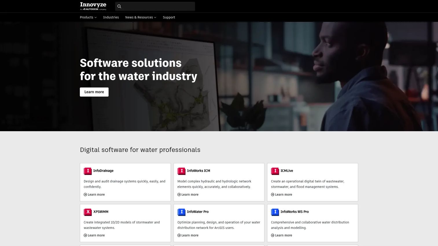
Innovyze is water infrastructure modeling and simulation software for utilities and engineers. It covers water and wastewater network modeling, asset management and planning, and hydraulic analysis, making it a strong fit for utility engineering and design workflows. For teams focused on real-time operations, capital planning, and asset intelligence, Innovyze provides the simulation depth to test a change before committing to it in the field.
Best for: Utilities and civil engineers modeling water and wastewater networks for planning and operations.
Key strengths
- Network modeling: Detailed water and wastewater network models for planning and analysis.
- Asset management and planning: Asset intelligence that ties condition and capital planning to the network.
- Hydraulic analysis and simulation: Simulation that lets engineers validate operational and design decisions.
Why choose Innovyze: Innovyze fits engineering-led utilities that live in the model. If your planning, design, and operations decisions depend on hydraulic simulation and asset intelligence, Innovyze gives you the modeling rigor to back them. It suits teams that treat the network model as a working tool, not a one-time deliverable.
Innovyze pricing: Innovyze does not publish public pricing; terms are set in order forms and quotations scoped to your needs. Contact the vendor for a quote. Innovyze holds a 4.3/5 rating on G2.
8. Aquatic Informatics
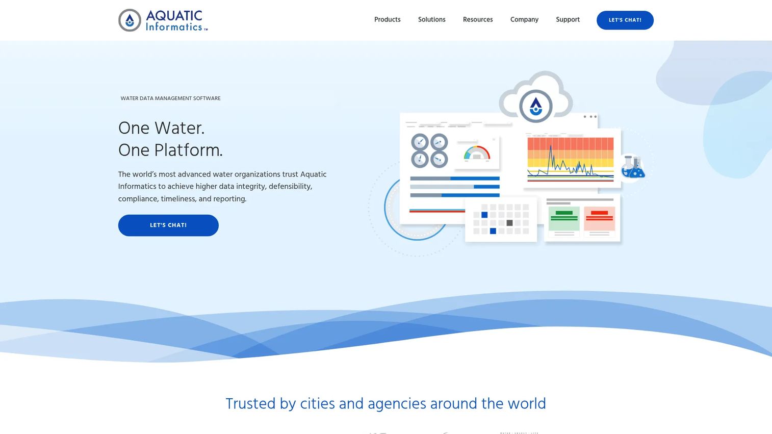
Aquatic Informatics is water data management, analytics, and compliance software built for the water industry. It integrates lab and field data across the water cycle, then layers defensible analytics and reporting with audit trails on top. For teams that need water data management software with strong governance and water quality visibility, Aquatic Informatics turns disparate monitoring inputs into compliant, trustworthy records.
Best for: Water utilities, agencies, and environmental teams that need water data management and compliance software with audit-ready reporting.
Key strengths
- Integrated water data management: Unify lab, field, and monitoring data across operations, wastewater, stormwater, groundwater, and surface water.
- Defensible analytics and reporting: Audit trails and defensible reporting protect you during regulatory review.
- Purpose-built products: Dedicated products span compliance, operations, and multiple water domains.
Why choose Aquatic Informatics: If your operational risk sits in data quality and compliance defensibility, Aquatic Informatics is built to solve exactly that. It fits teams that must prove their numbers are correct, with audit trails and governance that hold up under review. Water quality visibility and data integrity are the core value.
Aquatic Informatics pricing: Aquatic Informatics does not publish public pricing and directs buyers to request a quote scoped to their needs. Aquatic Informatics holds a 5.0/5 rating on G2.
What to look for when evaluating water management software
Before you shortlist, run every candidate through these criteria. They separate an operational system from a dashboard.
Integration depth
The value of any water data management software is proportional to how well it connects your existing field, GIS, SCADA, asset, and lab systems. Check the integration and API scope before you commit. A platform that cannot ingest your monitoring feeds or export to your reporting stack will recreate the fragmentation you are trying to kill. The same integration discipline applies across data-heavy categories, from audit management software to data visualization tools.
GIS and mapping
If assets, work orders, and samples are tied to location, GIS water management software should be non-negotiable. Evaluate whether the tool includes native GIS or integrates cleanly with a platform like ArcGIS. Field crews need live maps, not static exports.
Compliance and reporting
Water compliance software should turn regulatory reporting into a repeatable workflow with audit trails, not a manual scramble. Confirm the tool supports your specific permits, sampling schedules, and submission formats. Defensible reporting protects you during review.
Real-time monitoring and IoT
If you run pressure zones, leakage programs, or quality monitoring, real-time water monitoring and IoT support matter. Check how the tool handles streaming data, anomaly detection, and alerting so problems surface before crews are dispatched.
Modularity and scale
A modular water platform lets you start with one bottleneck and add capability without re-platforming. Favor cloud water management software that scales from a single module to full operations. That flexibility is what lets a lean team grow into a full operational system. If you're building a broader buying framework, cross-referencing how other categories handle scale, like contract lifecycle management or marketing automation, can sharpen your evaluation checklist.
Conclusion
The best water management software depends entirely on where your operations break down. Group the eight tools by the bottleneck they solve.
For AI and simulation-driven operations, Qatium leads with a digital replica and AI-assisted prioritization, while RTI International and Bentley Systems bring research-grade and engineering-grade modeling for complex planning. For asset and work management, iWorQ gives municipal teams a practical cloud suite. For GIS-heavy operations, Esri is the geospatial backbone, and Innovyze handles deep network modeling for engineering-led utilities. For compliance-first data management, Locustec and Aquatic Informatics centralize records and make water reporting software defensible.
The right choice comes down to whether you are optimizing field execution, model-driven planning, or operational visibility. Do not try to solve all three at once. Shortlist two or three tools that map to your single biggest bottleneck, run them against the integration, GIS, compliance, and monitoring criteria above, and commit to the water operations software that turns your fragmented data into decisions crews can act on.
FAQs
Water management software centralizes utility and operations data, including assets, monitoring feeds, GIS layers, field work, and compliance records, into one system. Teams use it to make faster operational decisions, dispatch crews efficiently, manage assets, and produce regulatory reports without stitching data together by hand.
The features that matter most are centralized data, GIS mapping, compliance and reporting workflows, water workflow automation, real-time monitoring, and simulation or forecasting. The right mix depends on your bottleneck. A compliance-heavy utility prioritizes reporting and audit trails, while an engineering-led team prioritizes hydraulic simulation and modeling.
Water management software is the broader category covering operations, monitoring, compliance, and analytics across the whole utility. Water asset management software is a subset focused specifically on tracking assets, condition, maintenance, and capital planning. Many platforms include asset management as one module within a wider operational system.
For most water utilities, yes. If assets, work orders, and samples are tied to physical locations, GIS water management software or clean integration with a platform like ArcGIS makes location the anchor for every record. GIS turns a data table into an operational map crews can act on in the field.
Utilities should look for integration depth with existing field, GIS, SCADA, and lab systems, strong security and governance, real-time data handling, and a modular architecture that scales. Cloud water management software should reduce maintenance overhead while giving lean teams room to add capability without re-platforming.
For compliance reporting, Locustec offers configurable water compliance software with governance and automation, and Aquatic Informatics provides defensible analytics with audit trails for water quality data. Both are built to turn regulatory reporting into a repeatable, review-ready workflow rather than a manual scramble.
Yes. Water monitoring software with IoT support ingests streaming data from sensors and SCADA systems, detects anomalies, and triggers alerts. Platforms like Qatium surface pressure, flow, and quality warnings in real time, so problems reach the right team before they escalate into field emergencies.
Water teams evaluate simulation software by testing whether it can build and adjust a hydraulic model against their real network, run scenario analysis, and support decisions before changes are made. Tools like Bentley Systems, Innovyze, and RTI International offer varying depths of modeling rigor, so match the tool to how model-driven your planning needs to be.