

You can see the ship on the map. That's the easy part.
The harder question is whether a delayed vessel changes a customer commitment, a cargo position, a procurement decision, or a risk alert. A vessel location on its own doesn't answer any of those. Yet many teams are still operating from fragmented map checks, manual spreadsheets, and repeated calls to freight forwarders to find out what's actually happening.
The vessel tracking market has matured significantly. The global market was valued at $6.21 billion in 2025 and is projected to reach $10.02 billion by 2033, according to SNS Insider (2026). That growth reflects a real expansion in what the category covers: AIS data feeds for developers, fleet monitoring platforms for operators, maritime intelligence tools for commodity analysts, and risk workflows for compliance teams all now live under the same broad label.
Choosing the wrong one means paying for signal you can't act on. This guide separates map-first trackers from enterprise intelligence platforms and helps you match the tool to the operational decision you actually need to make.
What's inside
This guide is for founders, operators, logistics leads, and product teams evaluating vessel tracking software for operational visibility, data infrastructure, or maritime risk workflows. Selections are based on four criteria:
- AIS coverage and data freshness: Satellite and terrestrial AIS range, refresh rate, and offshore reliability
- Intelligence depth: Whether the platform adds cargo context, behavioral analytics, or trade data beyond raw position
- API and integration fit: Data licensing rights, developer access, historical depth, and workflow compatibility
- Operational clarity: Whether the tool removes a recurring manual task or supports a specific recurring decision
The list covers free map-first options through to enterprise intelligence platforms. Pricing and G2 ratings reflect verified figures at publication.
TL;DR
- Best for general live vessel tracking: MarineTraffic, for map-based visibility, fleet monitoring, port context, and voyage history
- Best for straightforward vessel lookup: VesselFinder, for satellite and terrestrial AIS, fleet saving, nautical charts, and weather layers
- Best for cross-platform access: VT Explorer, for desktop and mobile tracking with vessel movement history
- Best for trade and supply chain intelligence: Kpler, for commodity flows, cargo analytics, and market context alongside vessel data
- Best for maritime risk workflows: Windward or Pole Star Global, depending on whether your priority is behavioral analytics or compliance screening
- Best for AIS data infrastructure: Spire Maritime (now through Kpler) or ORBCOMM, for teams building vessel data into internal products
What is vessel tracking software?
Vessel tracking software uses Automatic Identification System data, satellite signals, port data, and maritime analytics to show where vessels are, where they have been, and what their movement may mean operationally.
How AIS vessel tracking works
AIS broadcasts a vessel's identity, position, course, speed, and navigation status at regular intervals. Shore-based receivers pick up those signals close to coasts and ports - that's terrestrial AIS. Satellite AIS captures signals from orbit, extending visibility into open ocean, but latency, data density, and commercial access vary significantly by vendor and geography. Neither source is universally complete; coverage quality depends on message frequency, vessel equipment, waterway congestion, and how the provider processes raw signals.
What vessel tracking software should include
- Live vessel position and route visualization on an interactive map
- Speed, course, destination, and ETA fields
- Satellite AIS and terrestrial AIS coverage with noted refresh intervals
- Fleet lists, geofences, and operational alerts
- Port arrivals, departures, congestion data, and berth context
- Voyage history and historical AIS playback
- Vessel ownership, technical specifications, and metadata
- APIs, data exports, or integrations for internal workflows
- Risk, sanctions, behavioral, or dark-activity signals where required
Vessel tracking software versus fleet management software
Vessel tracking focuses on maritime position and voyage intelligence. Fleet management typically covers maintenance scheduling, crew logistics, fuel consumption, and onboard operations. Some platforms overlap, but a vessel tracker doesn't manage the vessel itself. If your primary need is operational management of owned vessels rather than position intelligence, confirm the platform scope before purchasing.
When to use vessel tracking software
Monitor a fleet or critical supplier route
Fleet monitoring is the most common entry point. Save vessel lists, set geofences around ports or trading zones, and receive arrival alerts before a shipment becomes a customer escalation. This fits logistics managers, port operators, and procurement teams tracking carrier performance on key lanes. If your team is currently checking vessel positions manually at shift change, a basic fleet monitoring subscription eliminates that loop.
Investigate a delay before it becomes an exception
Port congestion data, weather overlays, and route deviation signals give operations teams lead time rather than just confirmation. AIS destination fields entered by vessels are often incomplete or inaccurate, so evaluate how the platform handles ETA: Whether it uses raw AIS-reported destination data, a predictive model, or port-call inference matters when you're making a customer commitment.
Build maritime data into a product or workflow
Product and data teams buying an AIS API need a different set of criteria than a logistics manager needing a map. Licensing terms, historical data depth, delivery method, refresh rate, and commercial redistribution rights are the deciding factors. The question to answer before selecting a data provider is whether you need a finished intelligence product or raw feeds your team will enrich internally. For context on evaluating API documentation tools and API testing tools, those guides are good starting points for assessing any data vendor's developer experience.
Screen vessels for risk and compliance exposure
Sanctions screening, ship-to-ship transfer detection, unusual behavior identification, and ownership network analysis require more than a dot on a map. These workflows involve behavioral data, cross-referenced ownership records, and pattern analysis across historical voyages. Appropriate platforms layer multiple data sources onto AIS rather than treating position as the final answer. All such outputs support investigation workflows; legal and compliance decisions remain the buyer's own responsibility.
Vessel tracking software comparison
The table below ranks tools by operational fit. A basic vessel map and a maritime risk platform address different jobs, so the "Best for" column reflects primary use case rather than a universal score. Pricing is verified from vendor pages as of October 2026; G2 ratings are from current listings where profiles exist.
| # | Product | Best for | Key differentiator | Pricing | G2 rating |
|---|---|---|---|---|---|
| 1 | MarineTraffic | Fleet and port visibility | Global map, fleet monitoring, port calls, voyage context | Free; from $4.99/mo | 4.8/5 |
| 2 | VesselFinder | Vessel lookup and map exploration | Satellite and terrestrial AIS, nautical charts, weather layers | Free; from $4/mo | N/A |
| 3 | FleetMon | Vessel research and maritime data | Vessel records, port calls, photo library, fleet watchlists | Contact vendor | N/A |
| 4 | VT Explorer | Cross-platform AIS tracking | Desktop and mobile apps, movement history, route forecasting | From 50 EUR/mo | N/A |
| 5 | Kpler | Trade and commodity intelligence | Vessel, cargo, port, and market intelligence combined | Custom pricing | 4.8/5 |
| 6 | SeaVantage | Container and supply chain visibility | Container tracking with AI-predicted ETAs and port congestion | Free; from $100/mo | N/A |
| 7 | Spire Maritime | Satellite AIS data products | Satellite-derived maritime data via Kpler's API platform | Custom pricing | 4.8/5 |
| 8 | ORBCOMM | Maritime IoT and telemetry | Satellite AIS plus IoT asset monitoring infrastructure | Custom pricing | 4.5/5 |
| 9 | Windward | Maritime risk intelligence | Behavioral analytics, multi-source data, Maritime AI | Custom pricing | N/A |
| 10 | Pole Star Global | Compliance and screening | Vessel tracking, sanctions screening, operational monitoring | From £199/$250 per screening | N/A |
| 11 | SynMax | Commodity and energy intelligence | Dark vessel detection, spoofing detection, satellite geospatial | Custom pricing | N/A |
| 12 | DBX Trade Intelligence | Trade and shipment research | Trade datasets, vessel context, supply chain analysis | Contact vendor | N/A |
Best vessel tracking software tools for 2026
1. MarineTraffic
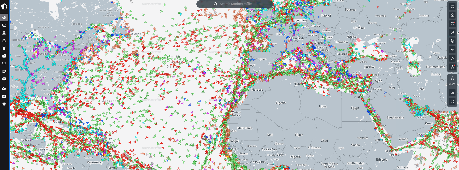
MarineTraffic is the most widely used vessel tracking platform for teams that need live map visibility, fleet monitoring, port intelligence, and voyage history in one interface. The platform combines near-real-time AIS positions with vessel detail records, port arrivals and departures, congestion data, and fleet alert tools that most operations teams can use from day one.
Best for: Shipping, logistics, port, and maritime operations teams needing vessel, fleet, voyage, and port intelligence without a data engineering project first.
Key features
- Live AIS vessel positions on a global interactive map
- Fleet monitoring with vessel notifications and alert settings
- Port arrivals, departures, and congestion context
- Voyage history and historical track playback
- Weather overlays and nautical chart layers
Why choose MarineTraffic: It's the right starting point for operations teams that need broad coverage across vessels, ports, and routes before deciding whether to add specialized commodity analytics or sanctions tools. Teams whose primary need is commodity analysis or risk-specific workflows should also evaluate dedicated intelligence platforms.
MarineTraffic pricing: A free tier covers basic coastal tracking. The Mobile Pro plan starts at $4.99/month and adds satellite tracking, weather, voyage history, and routing. Basic runs $10/month; Essential runs $100/month for expanded notifications, historical data, and export capabilities. Enterprise options require contacting sales.
G2 rating: 4.8/5
2. VesselFinder
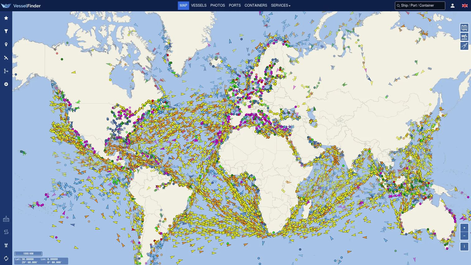
VesselFinder is a map-first vessel tracking service combining real-time terrestrial and satellite AIS positions with vessel technical records, port intelligence, fleet monitoring, and environmental overlays. The platform's filtering tools let users isolate vessel types, flag states, or maritime zones quickly, which makes it practical for routine vessel lookup alongside deeper fleet research.
Best for: Maritime professionals, shipping businesses, and teams needing vessel positions, nautical chart access, fleet saving, and weather layers in a single interface.
Key features
- Real-time terrestrial and satellite AIS vessel tracking
- Vessel track history and port-call records
- Nautical charts, satellite maps, and traffic-density views
- Wind, wave, and temperature overlays
- Fleet monitoring, ETA prediction, and AIS API access
Why choose VesselFinder: The range of map modes and environmental overlays makes this a practical tracker for teams that want more visual context than basic AIS maps provide. Teams requiring cargo-level intelligence or sanctions workflows will want a complementary platform.
VesselFinder pricing: Three subscription tiers, all excluding VAT. Basic starts at $4/month (or $12/year) for limited terrestrial AIS access. Premium is $34/month ($179/year) for broader tracking and higher usage limits. Satellite AIS access runs $139/month ($1,399/year) for combined global satellite and terrestrial coverage.
3. FleetMon
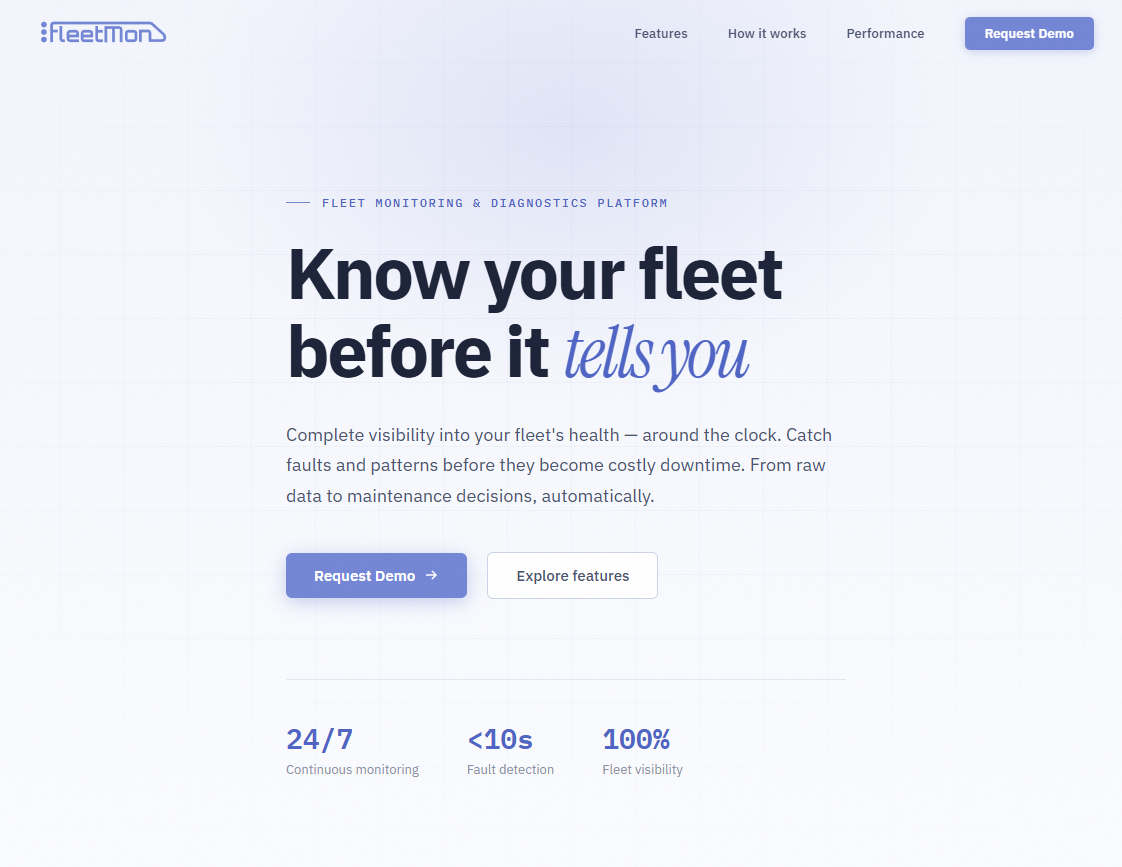
FleetMon is a maritime data and ship information platform providing real-time and historical AIS tracking, vessel specifications, port call records, and a large vessel photo reference library. It serves maritime researchers, brokers, and analysts who need detailed vessel context alongside positional data rather than a pure map experience.
Best for: Maritime professionals, brokers, and analysts needing vessel records, port call history, fleet watchlists, and a ship photo library alongside tracking data.
Key features
- Live AIS vessel tracking with global coverage
- Vessel technical specifications and ownership data
- Port call and movement history records
- Fleet watchlists and monitoring alerts
- Ship photo reference library
Why choose FleetMon: The combination of vessel reference data and tracking history makes it useful for due diligence, vessel research, and fleet monitoring workflows. Buyers requiring deep API access or enterprise analytics should confirm current capabilities directly with the vendor.
FleetMon pricing: Pricing details were not publicly accessible on the FleetMon website at time of publication. Contact FleetMon directly for current plan and pricing information.
4. VT Explorer
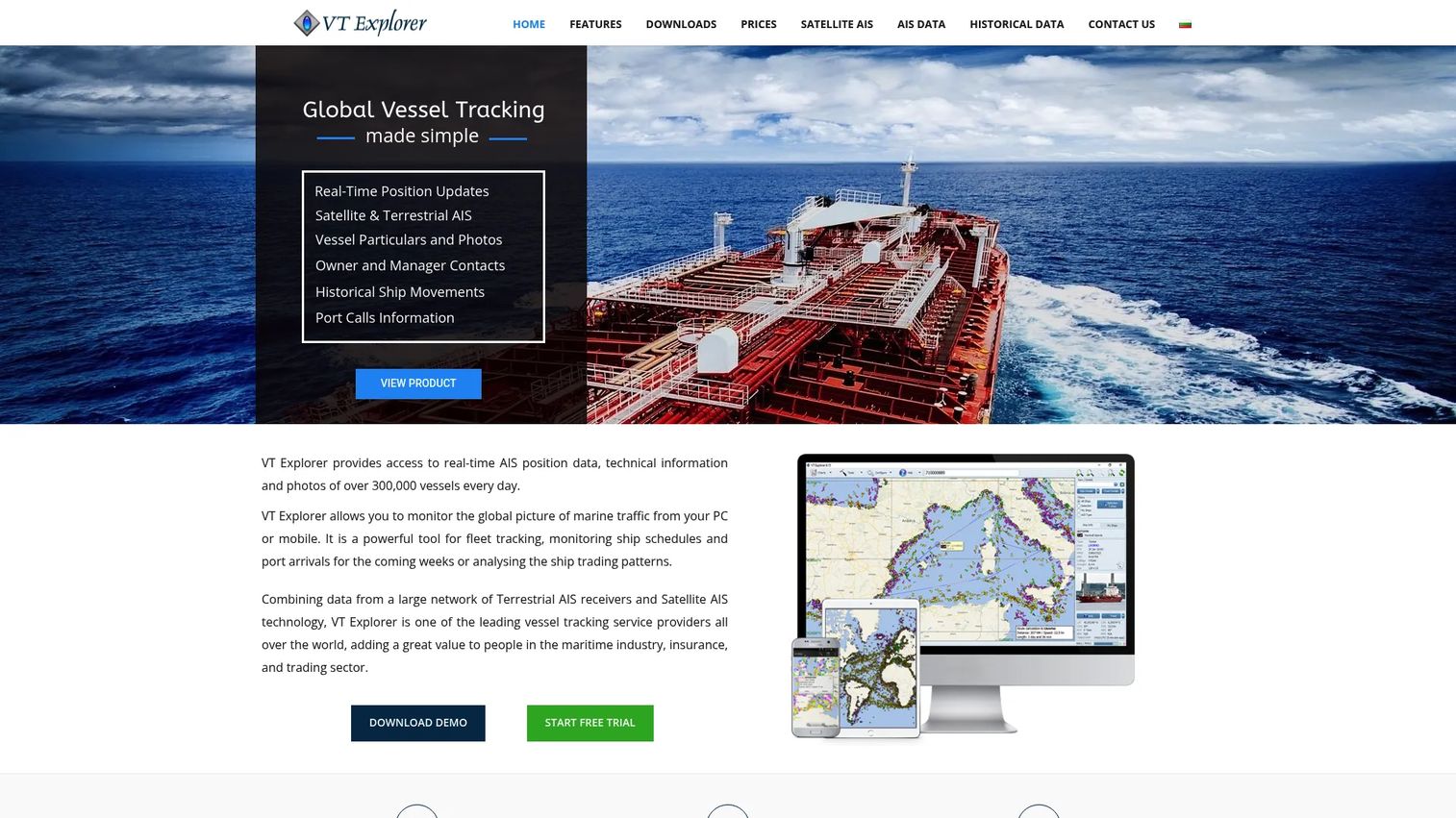
VT Explorer is a global vessel tracking service offering both browser-based access and dedicated applications, with real-time and historical AIS data, vessel technical details, port call records, and route planning tools. Its coverage includes both terrestrial and satellite AIS, making it suitable for monitoring vessels in coastal waters and offshore routes.
Best for: Dispatch, port operations, and maritime professionals who need vessel movement history, route forecasting, and cross-device access including desktop and mobile environments.
Key features
- Global terrestrial and satellite AIS coverage
- Vessel movement history with downloadable data exports
- Port calls, expected arrivals, and departure records
- Route calculator and route forecast tools
- Email and SMS alert options for saved vessels
Why choose VT Explorer: When access across multiple operator devices matters alongside positional data, VT Explorer's multi-platform approach covers the gap that browser-only tools leave. A 7-day free trial is available by request. Buyers should confirm regional coverage depth and commercial redistribution terms for their specific geography.
VT Explorer pricing: Plans are priced in EUR and billed monthly. Terrestrial Global coverage starts at 50 EUR/month. Satellite Global coverage is 150 EUR/month. An Europe Inland plan runs 90 EUR for a 3-month period. VAT is excluded from all figures.
5. Kpler
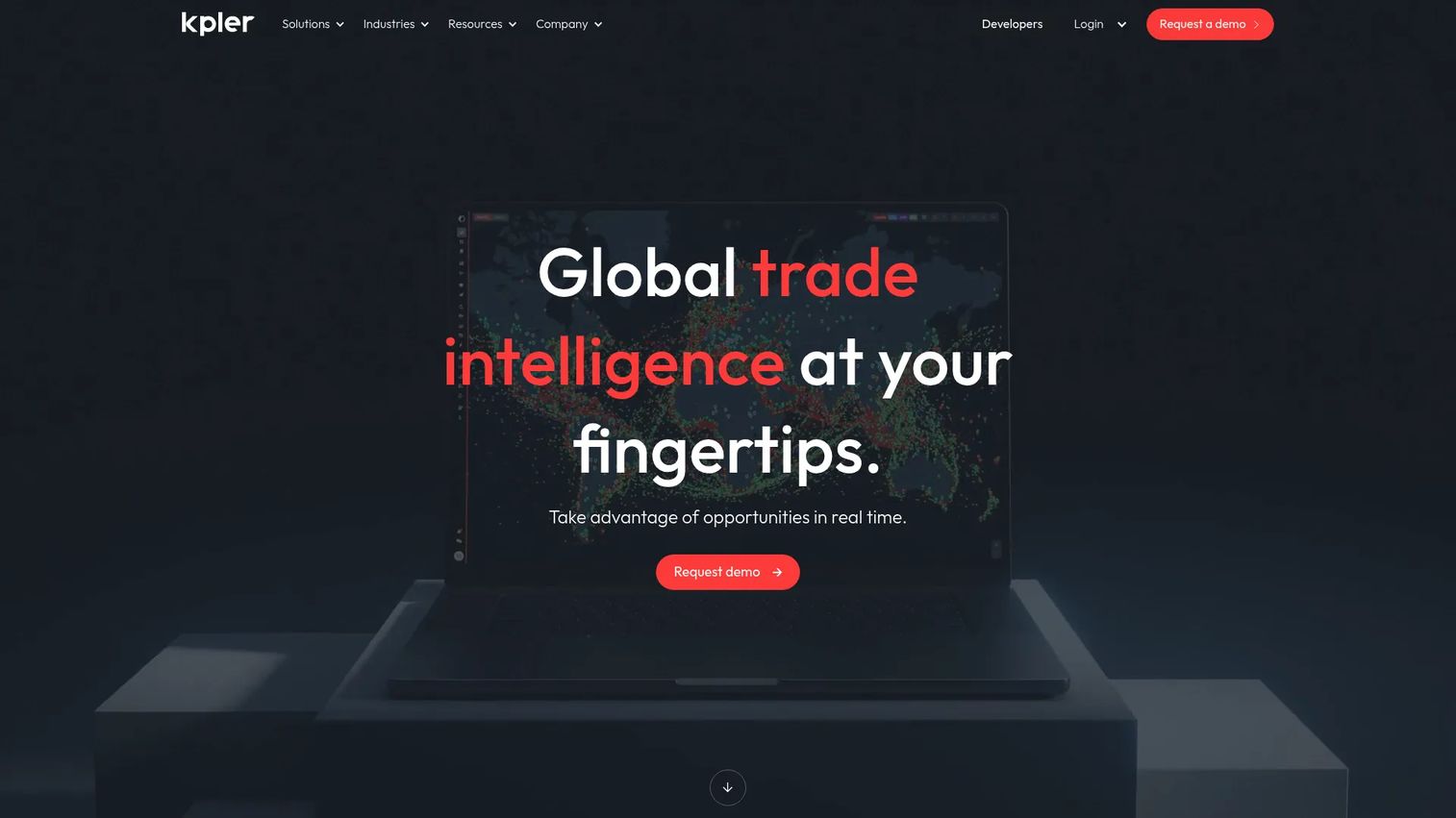
Kpler is a global trade intelligence platform that combines real-time vessel tracking with commodity flow analytics, market insights, port data, and risk and compliance intelligence. For teams where vessel movements connect directly to trading decisions, sourcing strategy, or market analysis, Kpler moves well beyond position data into commercial decision support.
Best for: Commodity traders, energy and financial analysts, maritime professionals, and logistics teams needing real-time global trade intelligence alongside vessel tracking.
Key features
- Real-time commodity trade flow and cargo analytics
- Vessel tracking with predictive ETAs and voyage analytics
- Market supply-and-demand forecasting
- Risk and compliance intelligence tools
- Data delivery via APIs, Snowflake, FTP, and custom extracts
Why choose Kpler: It fits teams making trading, sourcing, or market decisions where vessel positions are inputs to a commercial model rather than an end in themselves. Teams that only need fleet monitoring will find the breadth unnecessary; this platform performs best when maritime data connects to a financial or commercial workflow.
Kpler pricing: Custom pricing. No pricing page is publicly accessible. Contact Kpler sales for package options, which vary by commodity coverage, data modules, API access, and geographic scope.
G2 rating: 4.8/5
6. SeaVantage
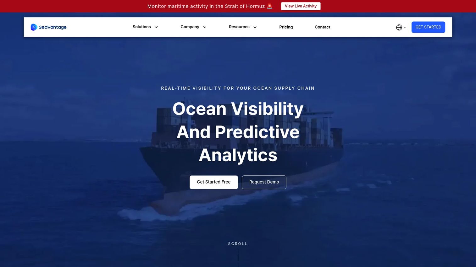
SeaVantage is an ocean supply chain visibility platform that blends AIS vessel tracking with container-level tracking across major ocean carriers, AI-driven ETA predictions, port congestion data, and voyage monitoring. It's positioned at logistics teams managing shipment exceptions, not just vessel observers.
Best for: Shippers, freight forwarders, and logistics teams managing real-time ocean shipment visibility, container tracking, and predictive delay intelligence.
Key features
- Real-time container tracking across major ocean carriers
- AI-powered predicted arrival and berthing times
- Global AIS vessel tracking and route replay
- Port congestion visibility and call history
- REST API integrations for internal workflow connection
Why choose SeaVantage: The distinction here is cargo-level visibility rather than vessel-level only. When the operational question is "What happens to the shipment?" rather than "Where is the vessel?", SeaVantage's container tracking and ETA prediction layer addresses that directly. It's a practical starting point for logistics teams before they scale to a full maritime intelligence platform.
SeaVantage pricing: A free trial supports up to 5 containers per month. Starter runs $100/month (or $1,150/year) for up to 50 containers. Business is $180/month ($2,060/year) for up to 100 containers. The Professional plan, covering 100+ containers plus API and screen embedding, requires contacting sales.
7. Spire Maritime
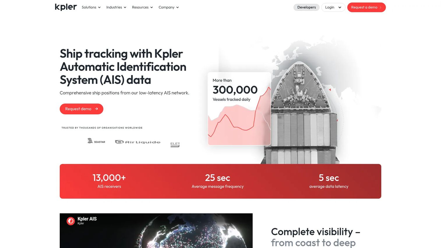
Spire Maritime is now presented through Kpler as AIS-powered maritime intelligence and ship-tracking services. The platform delivers satellite-derived vessel tracking, predictive port events, ETAs, vessel particulars, and historical data through APIs and data delivery options including NMEA feeds, LiveDB via Snowflake, FTP, and custom extracts.
Best for: Shipping, logistics, trading, insurance, compliance, and government teams needing satellite-derived AIS data and maritime intelligence at the infrastructure layer.
Key features
- Real-time and historical satellite AIS vessel tracking
- Predictive port events and voyage analytics
- Vessel particulars, ownership, and ship database records
- Data delivery via APIs, NMEA, Snowflake LiveDB, and FTP
- Global offshore satellite coverage
Why choose Spire Maritime: This is a build-first choice. It fits product and data teams with the engineering resources to turn satellite AIS feeds into an internal product, a customer-facing application, or an automated alerting workflow. Buyers without dedicated data engineering capacity are better served by a finished intelligence platform.
Spire Maritime pricing: Custom pricing. Rates depend on data coverage, API usage volume, historical data access, delivery method, and contract scope. Contact sales for a quote.
G2 rating: 4.8/5
8. ORBCOMM
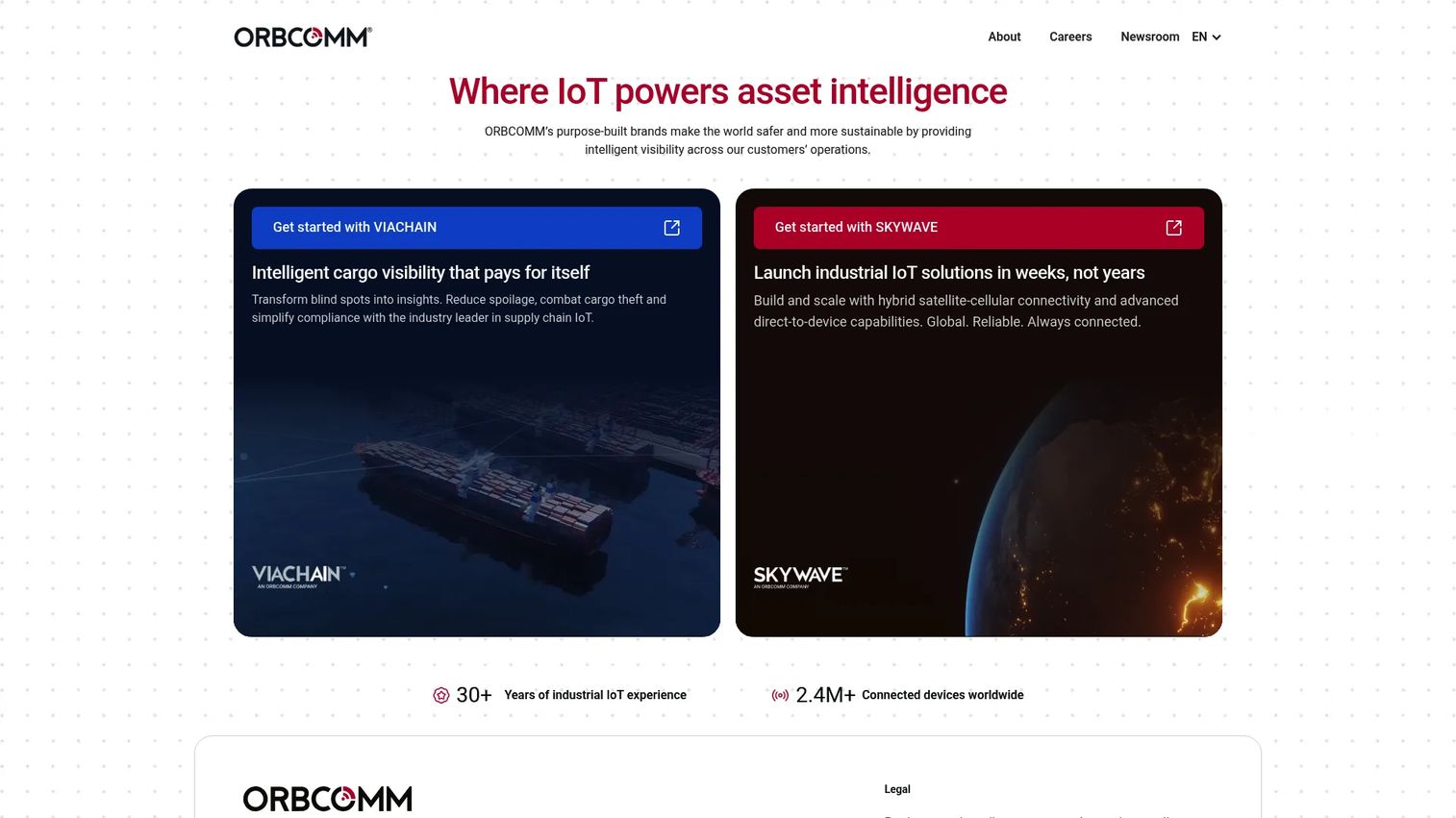
ORBCOMM provides industrial IoT and asset intelligence covering road, rail, sea, and facilities. On the maritime side, the platform delivers satellite AIS data, vessel telemetry, temperature and cargo monitoring, advanced analytics, and API integrations for organizations embedding maritime tracking into a broader connected operations stack.
Best for: Enterprise teams that need maritime data as part of a larger telemetry, asset tracking, or connected operations program rather than a standalone vessel map.
Key features
- Satellite AIS data services for maritime visibility
- Asset tracking and monitoring across sea and land-based fleets
- Temperature, cargo, and equipment monitoring with alerting
- Advanced analytics, dashboards, and scheduled reporting
- APIs and integrations for existing operational stacks
Why choose ORBCOMM: The infrastructure fit matters here. It's relevant when vessel tracking is one input into a broader IoT or asset intelligence program. Teams needing only maritime position tracking will find the platform broader than necessary; the value comes from combining maritime data with other asset types in a single operational view.
ORBCOMM pricing: Custom pricing for most transportation and IoT solutions. Hardware and software packages are listed in ORBCOMM's public store; for example, a 5-year NetCloud IoT Essentials Plan with an S750 Router is listed at $552. Broader maritime platform pricing requires contacting sales.
G2 rating: 4.5/5
9. Windward
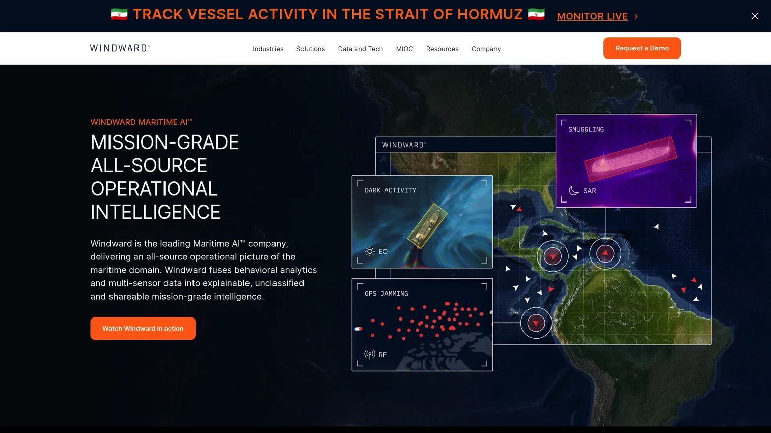
Windward is a maritime intelligence platform using behavioral analytics, multi-source data fusion, and generative AI to support risk monitoring, compliance workflows, anomaly detection, and maritime domain awareness. The platform combines AIS with satellite imagery, RF signals, digital presence data, ownership records, and cargo documentation.
Best for: Defense, government, maritime security, compliance, shipping, and trade organizations requiring predictive maritime intelligence and risk-sensitive vessel monitoring.
Key features
- Multi-source intelligence combining AIS, satellite imagery, RF, and ownership data
- Predictive risk analytics, anomaly detection, and deceptive-behavior detection
- Maritime AI for explainable summaries and intelligence reports
- Sanctions and compliance workflow support
- Ship-to-ship transfer and dark vessel monitoring
Why choose Windward: This is for teams where vessel behavior patterns, counterparties, and ownership structures inform risk-sensitive decisions. It's not a substitute for a map tracker; it adds interpretive intelligence on top of position data. All outputs support investigation and monitoring workflows; legal conclusions remain the buyer's own.
Windward pricing: Custom pricing, sales-led. No pricing is displayed on Windward's official website. Contact Windward for package details based on organization type and module requirements.
10. Pole Star Global
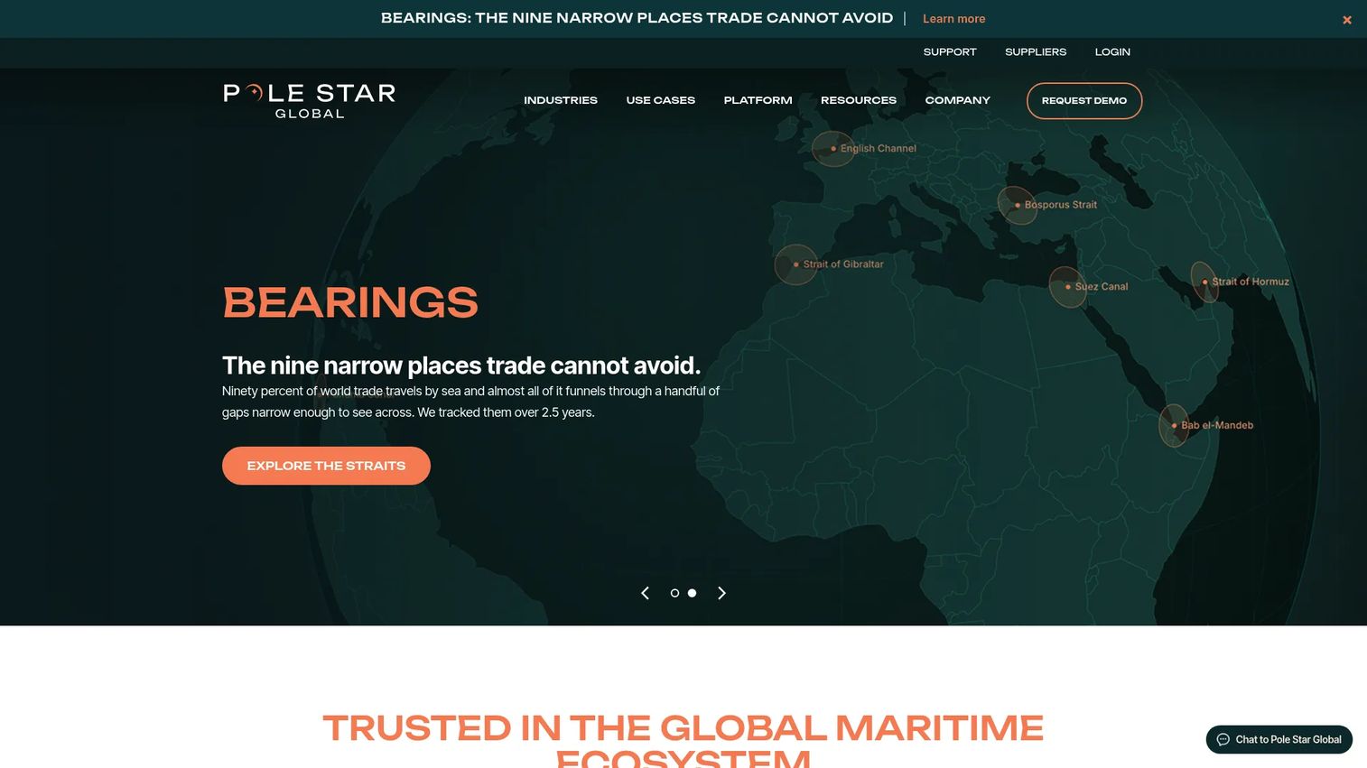
Pole Star Global provides maritime tracking connected to compliance screening, risk alerts, route optimization, port call management, and operational intelligence. The platform positions vessel monitoring as a governance layer as much as an operational one, with specific tooling for sanctions compliance and maritime domain awareness.
Best for: Maritime operators and compliance teams needing vessel tracking integrated with sanctions screening, regulatory reporting, and operational oversight tools.
Key features
- Real-time vessel tracking and monitoring
- Geofencing and risk-based alert configuration
- Sanctions screening and regulatory reporting tools
- Route optimization and port call management
- Predictive analytics and maritime intelligence APIs
Why choose Pole Star Global: It fits organizations where monitoring must support governance and compliance assurance, not only logistics visibility. The On Demand screening product provides a low-commitment entry point for teams that need occasional vessel compliance checks before committing to a full platform.
Pole Star Global pricing: On Demand individual vessel screenings are priced at £199 ($250) each. Broader platform products use contract- and order-based pricing. Contact Pole Star Global for module and licensing details.
11. SynMax
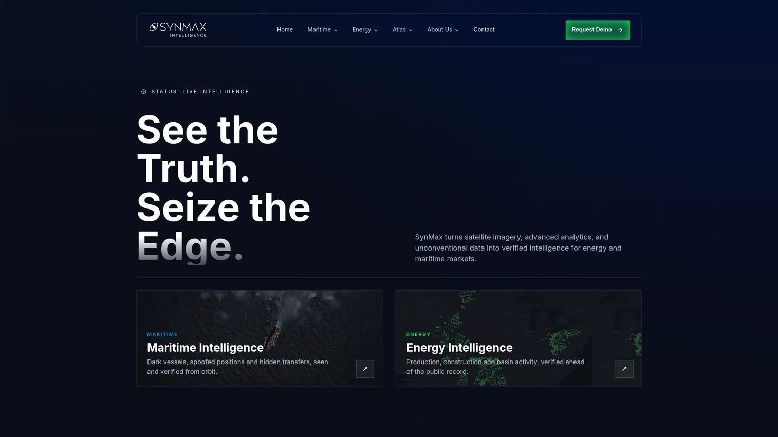
SynMax provides satellite-data intelligence and analytics for energy and maritime markets. Its vessel-level capabilities focus on detecting dark activity, AIS spoofing, ship-to-ship transfers, and vessel attribution, alongside energy production monitoring and commodity supply chain analysis using geospatial data.
Best for: Energy, maritime, defense, and finance teams needing satellite-based vessel intelligence tied to commodity supply chain context and detection of evasive vessel behavior.
Key features
- Dark vessel detection using satellite imagery
- AIS spoofing and anomaly detection
- Ship-to-ship transfer identification
- Vessel attribution and geospatial intelligence
- Commodity supply chain monitoring across power, gas, and LNG sectors
Why choose SynMax: SynMax performs best when the question isn't just where a vessel is, but whether it's behaving evasively and what commodity flow that implicates. Teams that need standard fleet tracking or container visibility will find a different tool more practical.
SynMax pricing: Custom pricing, handled through direct scoping. Contact SynMax for data package and platform access terms.
12. DBX Trade Intelligence
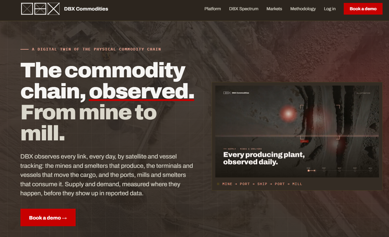
DBX Trade Intelligence is a trade intelligence platform providing trade datasets, vessel-linked shipment research, supply chain analysis, and commercial counterparty context. It serves commercial and research teams that need business-facing trade data rather than an operational fleet console.
Best for: Commercial and research teams needing vessel-linked trade datasets, shipment research, and supply chain intelligence for business analysis.
Key features
- Trade intelligence datasets with vessel context
- Shipment and vessel research tools
- Supply chain analysis and monitoring
- Market and counterparty context
- Data export capabilities
Why choose DBX Trade Intelligence: This fits teams doing commercial research or trade analysis rather than operational fleet monitoring. It's less relevant for an operator who needs a live vessel map or real-time fleet alerts.
DBX Trade Intelligence pricing: The website was inaccessible for verification at time of publication. Contact DBX Trade Intelligence directly for licensing and access details.
Considerations when choosing vessel tracking software
Match the platform to the decision it supports
A vessel map answers "where is the ship." It doesn't answer a procurement, trading, compliance, or cargo exception question on its own. Identify the recurring decision first: Fleet monitoring, shipment exceptions, risk screening, or commodity signals. Then select the platform class that supports it, not the one with the most map layers.
Check satellite and terrestrial AIS coverage separately
Ask each vendor where their data is strongest, how they handle crowded waterways like the Strait of Malacca or the English Channel, and what refresh expectations apply offshore versus in port. AIS accounted for approximately 33% of the vessel tracking system market in 2025, according to SNS Insider (2026), but coverage quality varies substantially between providers even when both offer satellite feeds.
Verify data rights before building on an API
For product teams, licensing terms can matter as much as data quality. Confirm commercial redistribution rights, historical data depth, API rate limits, update frequency, and whether customer-facing use is permitted. These are separate questions from data coverage and often surface late in vendor negotiations. Resources on API gateway software and API generation software can help frame what to look for in any data vendor's developer tooling.
Test alert quality against real workflows
Volume of alerts is not the same as useful alerts. Run geofences, arrival change triggers, port call notifications, and route deviation alerts against a real operational scenario during any trial period. An alert that fires without a named decision owner and a clear response is noise, not signal.
Measure what the software replaces
For a founder adding a new data product to the stack, the purchase should displace something: Manual spreadsheet monitoring, repeated calls to freight partners, fragmented map tab-checking, or repeated customer status requests. Establish a baseline for exception response time and manual tracking hours before implementation, so you can measure whether the tool earned its place in the first quarter.
How to choose the right vessel tracking software for your team
Choose a map-first tracker for immediate vessel visibility. MarineTraffic, VesselFinder, and VT Explorer are strong starting points for teams that need vessel search, fleet watchlists, port activity, and voyage history. If your team currently tracks shipments manually, any of these will remove that work and give an operations lead something useful on day one. MarineTraffic's free tier alone covers basic coastal fleet visibility for teams testing the workflow before committing.
Choose a maritime intelligence platform when vessel movements affect revenue decisions. Kpler and SeaVantage are the right evaluation shortlist for trade, cargo, procurement, and supply chain teams. These platforms interpret vessel position within commercial context: Cargo volumes, carrier performance, port congestion relative to shipment timelines. SeaVantage starts at a price point accessible to scaling teams. Kpler operates at enterprise scale with commodity-level depth.
Choose a data provider when you're building your own workflow. Spire Maritime (accessed through Kpler) and ORBCOMM fit teams with dedicated data engineering capacity and a specific internal or customer-facing application. Evaluate API documentation quality, data latency, historical depth, licensing terms, and the engineering effort required to turn raw positions into user-facing insight before committing. Our guides on asset tracking software and analytics platforms that drive ROI cover the broader build-versus-buy evaluation questions that apply here.
Choose a risk platform when monitoring must support compliance decisions. Windward and Pole Star Global address different parts of the risk workflow. Windward's behavioral analytics and multi-source data fusion suits teams making predictive risk assessments across vessel networks. Pole Star Global's sanctions screening and compliance tooling fits teams with regulatory reporting requirements. If you only need occasional vessel screenings, Pole Star's On Demand pricing at £199 ($250) per screening avoids a platform commitment.
Conclusion
The right vessel tracking tool depends on the operational decision it needs to improve, not the number of data layers it displays.
MarineTraffic and VesselFinder are solid map-first starting points for teams that need live visibility and fleet monitoring. VT Explorer adds cross-device flexibility and route forecasting. FleetMon suits maritime researchers and brokers who need vessel record depth.
For commercial intelligence, Kpler connects vessel movements to commodity flows and trade context. SeaVantage addresses the supply chain layer with container tracking and AI-driven ETA predictions.
Teams building on data infrastructure should evaluate Spire Maritime through Kpler or ORBCOMM, with data rights and API quality as the primary filters. For risk and compliance, Windward brings behavioral analytics and multi-source intelligence; Pole Star Global covers sanctions screening and compliance monitoring with a low-commitment On Demand entry option. SynMax addresses evasive vessel behavior and commodity supply chain analysis through geospatial satellite intelligence. DBX Trade Intelligence serves commercial research teams needing trade datasets rather than operational maps.
Pick the platform that removes a recurring manual check, supports a decision your team makes weekly, and fits your existing data stack. If it can't pass that test in the first quarter, it's the wrong tool.
Global maritime trade reached 12.72 billion tons in 2024, up 2.2% year over year, according to UNCTAD's Review of Maritime Transport 2025. The operational complexity that number represents isn't going to simplify itself.
Start your journey with Guideflow today!
FAQs
There's no universal answer because the platforms solve different problems. For live fleet visibility and port data, MarineTraffic is the most broadly used starting point. For trade and commodity intelligence, Kpler leads at enterprise scale. For compliance and risk workflows, Windward or Pole Star Global are the relevant evaluation shortlist. Start by naming the recurring operational decision you need to support, then select the platform class built for that job.
Terrestrial AIS collects vessel signals through shore-based receivers and works best within range of coasts, ports, and busy shipping lanes. Satellite AIS captures the same signals from orbit, extending visibility into open ocean, but latency, data density, and refresh frequency vary significantly by vendor. Coverage quality for both types also depends on vessel equipment, AIS message frequency, and how the provider processes raw signals before delivery.
Most platforms display AIS-reported destination and ETA fields, but these are entered manually by vessel crews and are often incomplete or outdated. Some platforms add predictive ETA models built from port call history, route patterns, and congestion data. Confirm which method a platform uses before relying on ETA figures for customer commitments or supply chain planning.
Vessel tracking alone doesn't confirm the location or status of a specific container. Some platforms, notably SeaVantage, combine vessel AIS data with container-level tracking across major ocean carriers. For shipment-level visibility, look specifically for platforms that ingest carrier data, bill of lading records, or container event feeds in addition to vessel positions.
Offshore accuracy depends on satellite AIS coverage. Satellite pass timing, AIS signal density, vessel equipment, and vendor data processing all affect how frequently a vessel position updates in open water. Some providers with dense satellite constellations offer higher refresh rates offshore, but this varies by geography and the specific data product purchased.
Most providers offer route playback, port call records, and historical AIS data. The available time window, export rights, cost, and granularity differ substantially across vendors. Enterprise data products through platforms like Kpler or Spire Maritime typically offer multi-year historical depth with API access, while consumer-tier products may limit history to 30 to 90 days.
Verify data rights and commercial redistribution terms first, particularly if vessel data will appear in a customer-facing product. Then check rate limits, historical data depth, delivery method options, data normalization format, and the level of engineering work required to go from raw AIS positions to user-facing insight. Pricing structures for API products often scale with request volume or data coverage rather than a flat subscription fee, so model your expected usage before signing a contract.
Yes, though the platforms vary substantially in capability. Map-first trackers provide position visibility but no behavioral context. Dedicated risk platforms like Windward layer behavioral analytics, ownership network data, multi-source intelligence, and anomaly detection onto AIS to support investigation workflows. All such outputs inform monitoring and research processes; compliance decisions, legal conclusions, and regulatory responses remain the responsibility of the buyer's own teams.