

Buying urban planning and design software is messy because the category is really several categories in one. A GIS analyst, a development feasibility team, and an environmental consultant all need different things, and no single platform covers every workflow well.
Cities are home to 45% of the global population today and are projected to absorb two-thirds of global population growth through 2050, according to the United Nations World Urbanization Prospects 2025. That growth creates sustained demand for tools that help planners, developers, municipalities, and consultants make faster, better-evidenced decisions.
The global urban planning software market was valued at US$8.6B in 2025 and is projected to reach US$13.4B by 2032, per Research and Markets (2025). That scale reflects how fragmented the category is: Spatial planning software, 3D visualization software, feasibility platforms, and microclimate simulation tools all compete for the same budget line.
The right tool depends on where your workflow starts. Do not buy a GIS platform when the real job is fast feasibility testing. Do not buy a visualization tool when the bottleneck is spatial data.
What's inside
This guide covers 15 urban planning and design tools, ranked by relevance across GIS, 3D modeling, feasibility analysis, environmental simulation, and infrastructure planning.
- Who it's for: Founders, operators, and planning leads evaluating tools for municipalities, development teams, architecture firms, or proptech companies
- Selection criteria:
- Workflow coverage (GIS, massing, feasibility, BIM, or simulation)
- Fit for the team that will own it (specialist vs. general user)
- Pricing clarity and adoption risk
- Data format compatibility with common planning and design workflows
TL;DR
- Best overall for early-stage design and environmental analysis: Autodesk Forma combines cloud massing with daylight, wind, and noise analysis before detailed BIM begins
- Best for GIS-led city planning: ArcGIS Urban for zoning and scenario planning; ArcGIS Pro for advanced spatial analysis
- Best for procedural 3D city modeling: ArcGIS CityEngine generates rule-based urban environments at scale
- Best for feasibility and development layouts: TestFit automates site planning, unit yield, and deal economics
- Best free and open-source GIS option: QGIS covers mapping, spatial analysis, and plugins at no cost
- Best for microclimate analysis: ENVI-met simulates wind, thermal comfort, and urban heat in 3D
What is urban planning and design software?
Urban planning and design software helps planners, designers, municipalities, developers, and consultants analyze land, model development scenarios, visualize city form, test constraints, and communicate planning decisions to stakeholders.
No single tool is perfect for every workflow. A GIS platform, a feasibility tool, and a BIM software package solve different problems. The category spans:
- GIS and spatial data management: Parcel data, zoning layers, demographics, infrastructure overlays
- 3D city modeling and massing: Building form, height, density, and street-level visualization
- Scenario planning and alternative comparison: Testing different land-use mixes, densities, or phasing sequences
- Feasibility analysis: Unit yield, parking, development economics, and density calculations
- Environmental analysis: Daylight, wind, shadow, viewshed, and microclimate performance
- BIM and infrastructure coordination: Building information modeling, civil design, and multidisciplinary coordination
- Public communication and stakeholder visualization: Board decks, community presentations, and planning committee materials
- Mobility and pedestrian modeling: Traffic flow, pedestrian movement, and transport planning
The clearest distinction to keep in mind: GIS software for urban planning manages spatial data and analysis. 3D city planning software handles form-making and visualization. Feasibility tools answer whether a site pencils out. Environmental analysis software tests performance before design commitments are made. Buy for the job, not the brand.
When to use urban planning and design software
Compare planning scenarios before capital gets committed
Teams use spatial planning software to test height limits, density targets, land-use mix, unit yield, and parking ratios before expensive design work begins. Running five massing options in a browser-based tool costs hours; revising a detailed BIM model costs weeks. For founders evaluating proptech or govtech tools, this is about reducing decision latency and replacing stakeholder debates based on opinion with scenario outputs based on data.
Turn spatial data into decisions stakeholders can understand
GIS layers, parcel records, zoning maps, terrain models, and infrastructure constraints tell a technical story. Urban design visualization tools translate that story into something a planning board, an investment committee, or a community group can act on. Better visuals reduce the translation burden between specialist teams and decision-makers, which matters when approval cycles are long and expensive.
Test environmental and mobility impacts early
Daylight access, wind exposure, shadow impact, microclimate comfort, pedestrian movement, and transport load are all easier and cheaper to address before detailed design is locked. Environmental analysis software for urban planning and transport planning software catch risks at concept stage, where the fix is a massing adjustment rather than a redesign. Risks found during approval reviews cost more than risks found in a 3D model.
Urban planning and design software comparison
The table below covers all 15 tools ranked by relevance to common urban planning workflows. Pricing reflects figures from each vendor's official pricing page. G2 ratings are from each tool's current G2 listing.
| # | Product | Best for | Key use case | Pricing | G2 rating |
|---|---|---|---|---|---|
| 1 | Autodesk Forma | Early-stage design and environmental analysis | Cloud massing, daylight, wind, noise, and site options | From $85/month | 5.0/5 |
| 2 | ArcGIS Urban | GIS-led scenario planning | Zoning, land-use, development capacity, city-scale planning | Included with ArcGIS Professional Plus | 4.1/5 |
| 3 | ArcGIS CityEngine | Procedural 3D city modeling | Rule-based city models, streets, and urban forms | Included with ArcGIS Professional/Plus | 4.2/5 |
| 4 | 3D Cityplanner | Browser-based planning and feasibility | Scenario planning, density, parking, feasibility, and phasing | From €79/month | 4.3/5 |
| 5 | Modelur | Parametric urban design in SketchUp | Massing, zoning checks, floor area, and parking calculations | From €74/seat/month (annual) | 4.0/5 |
| 6 | TestFit | Real estate feasibility and site planning | Generative site layouts, unit yield, and deal economics | From $195/month | 4.3/5 |
| 7 | SketchUp | Fast 3D urban visualization | Concept modeling, massing, and presentation visuals | From $10.75/user/month (annual) | 4.5/5 |
| 8 | Rhino | Advanced parametric modeling | Complex geometry, computational design, and plugin workflows | From $995 (perpetual license) | 4.4/5 |
| 9 | Revit | BIM coordination for buildings and districts | Building information modeling and multidisciplinary coordination | From $380/month | 4.6/5 |
| 10 | ArcGIS Pro | Advanced GIS analysis | Spatial analysis, mapping, and geoprocessing | Contact Esri for pricing | 4.3/5 |
| 11 | QGIS | Free open-source GIS | Mapping, spatial analysis, and planning data workflows | Free | 4.5/5 |
| 12 | UrbanFootprint | Urban analytics and resilience planning | Land-use analysis, climate risk, and policy scenarios | Contact for pricing | 4.4/5 |
| 13 | CommunityViz | Scenario planning and impact analysis | Community planning, fiscal impact, and land-use alternatives | From $100 (single-seat, 1 year) | N/A |
| 14 | Autodesk InfraWorks | Infrastructure and corridor planning | Roads, terrain context, and civil infrastructure concepts | From $275/month | 4.2/5 |
| 15 | ENVI-met | Microclimate and environmental simulation | Wind, thermal comfort, vegetation, and urban heat analysis | Contact for pricing (free LITE available) | N/A |
Best 15 urban planning and design software tools for 2026
1. Autodesk Forma
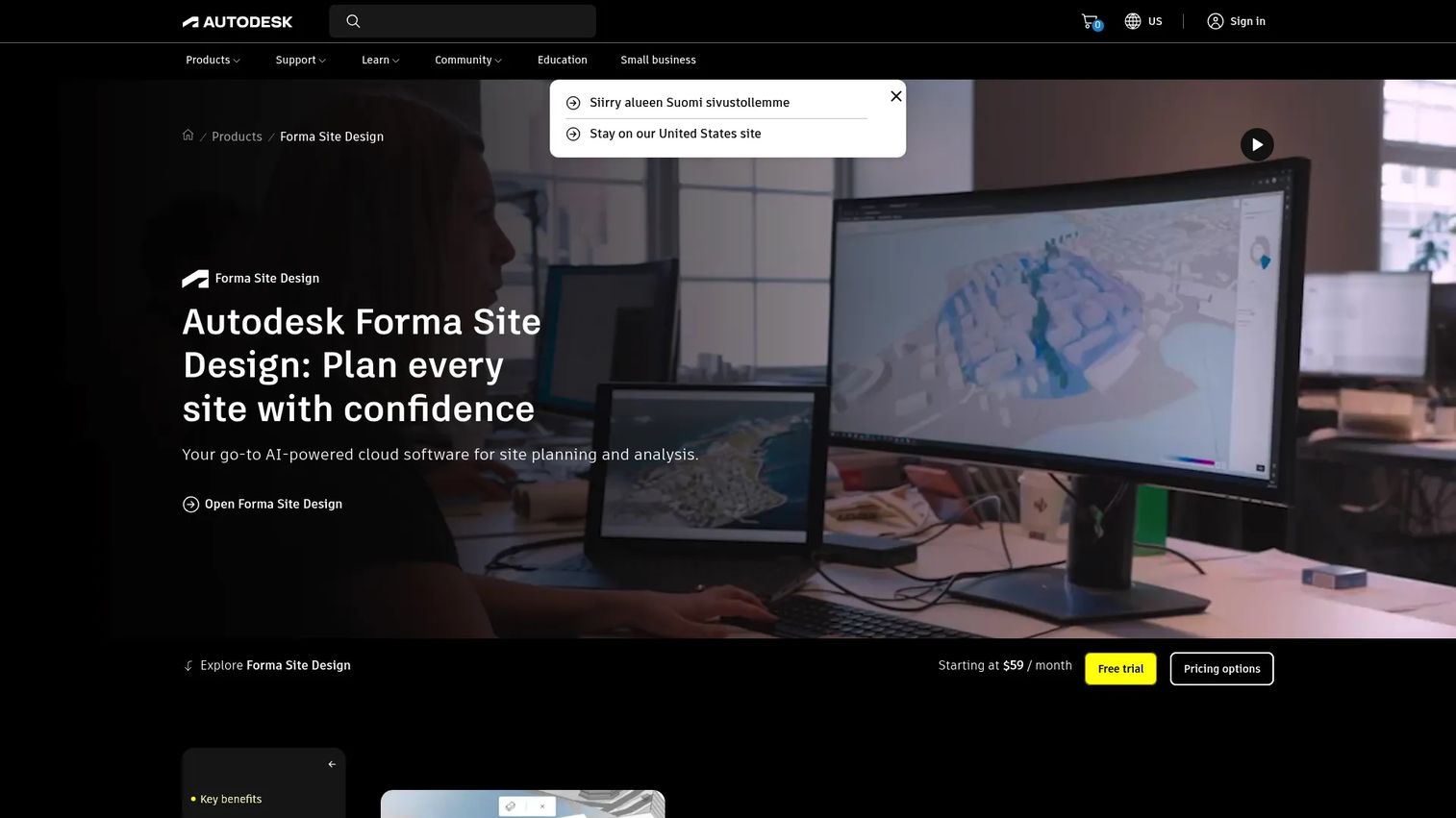
Autodesk Forma is a cloud-based early-stage planning and design platform for architects, urban planners, and real estate developers. It combines site massing with built-in environmental analysis, letting teams test daylight access, wind exposure, noise levels, and solar performance before committing to detailed BIM work. Forma connects directly to Revit, Rhino, and IFC workflows, so concept-stage outputs carry forward without data loss. The collaborative review environment allows multiple stakeholders to view and comment on design options in a shared workspace.
Best for: Teams that need early-stage concept design, massing, and environmental insight before detailed BIM begins.
Key features
- Cloud-based site modeling and massing
- Daylight, wind, noise, and solar energy analysis
- Revit, Rhino, IFC, and OBJ file support
- Real-time collaborative design review
- AI-powered site design automation
Why choose Autodesk Forma: Forma earns its place as the top overall pick because it combines design ideation with measurable environmental performance data. If your team needs to test five site options in a morning and present the trade-offs to a planning board that afternoon, Forma is built for that workflow.
Autodesk Forma pricing: Plans start at $85/month on a monthly basis, $700/year billed annually, or $2,100 for a 3-year term. Forma is also included in Autodesk's AEC Collection.
G2 rating: 5.0/5
2. ArcGIS Urban
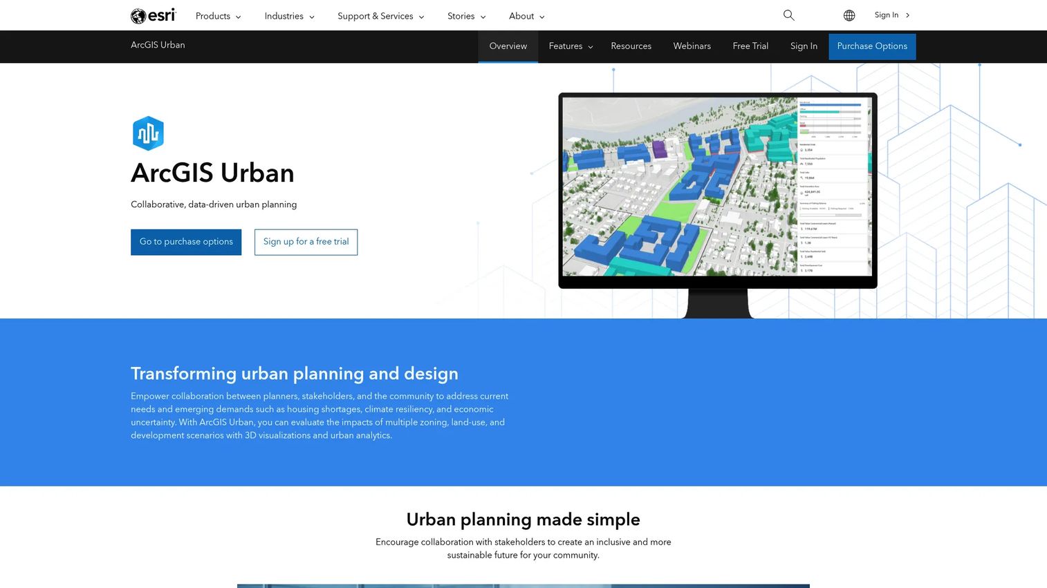
ArcGIS Urban is a GIS-based spatial planning platform built for municipal planning teams and consultants working with zoning, land-use policy, and city-scale development scenarios. It connects parcel data, zoning rules, and development constraints inside a 3D environment that non-GIS stakeholders can interpret without specialist training. Teams already using the Esri ecosystem will find ArcGIS Urban integrates directly with their existing data, maps, and enterprise licensing. The platform supports project e-submission workflows, making it practical for permitting and public review processes.
Best for: Municipal planning teams and consultants that need spatially grounded scenario planning tied to parcel data and zoning policy.
Key features
- 3D zoning scenario modeling
- Parcel-based development capacity analysis
- Project e-submission for planning review
- Web-based planning views for stakeholders
- Esri data and workflow integration
Why choose ArcGIS Urban: Choose it when the planning workflow starts with parcels, zoning rules, and policy constraints rather than freeform design. This is governance-led scenario planning, not creative massing exploration. Teams already on Esri licensing can often add Urban without a separate procurement decision.
ArcGIS Urban pricing: Included with the ArcGIS Professional Plus user type.
G2 rating: 4.1/5
3. ArcGIS CityEngine
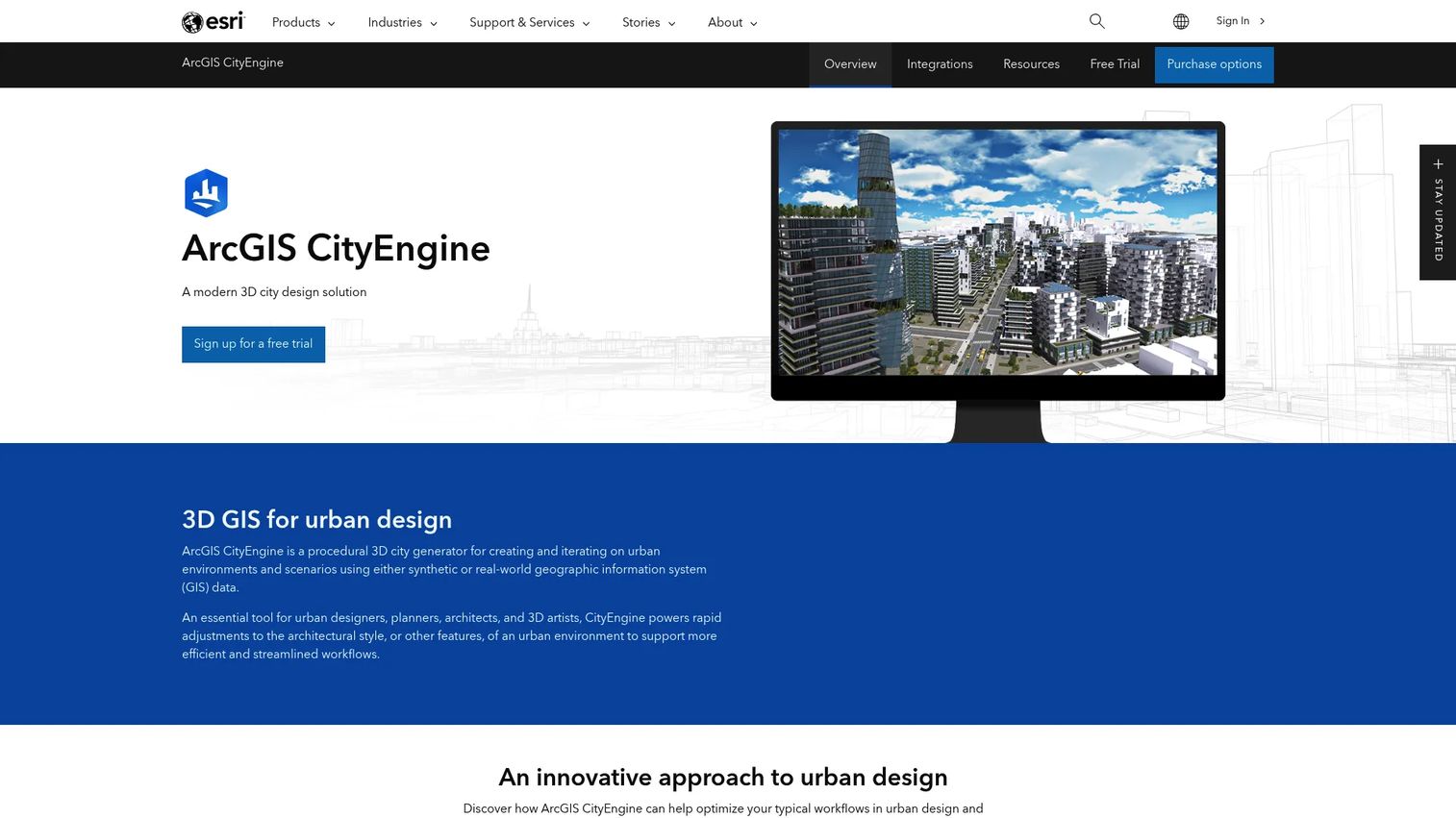
ArcGIS CityEngine is procedural 3D city modeling software that generates urban environments from rule sets rather than manual modeling. It imports GIS data, basemaps, shapefiles, geodatabases, and BIM files, then uses CGA scripting and Python to produce consistent buildings, streets, and urban forms at scale. Teams use CityEngine to generate multiple design alternatives quickly, which is valuable when the brief calls for scenario comparison across a large area. The platform integrates with ArcGIS and exports to game engines for immersive visualization.
Best for: Technical teams that need to generate or modify urban forms at scale using procedural rules and GIS data.
Key features
- Procedural 3D city modeling from rule sets
- GIS, shapefile, geodatabase, CAD, and BIM data import
- Scenario iteration and comparison at urban scale
- Python API and CGA rule-based modeling
- Integration with ArcGIS and game-engine export
Why choose ArcGIS CityEngine: CityEngine rewards technical investment. If your team has GIS analysts or computational designers comfortable with scripting, the ability to generate and iterate city-scale models from rules is a significant time advantage. If non-technical staff will own the tool day-to-day, assess that skill fit before committing. A 21-day full-functionality trial is available.
ArcGIS CityEngine pricing: Now delivered through ArcGIS Professional and Professional Plus user types following the discontinuation of standalone CityEngine licenses in 2025. Contact Esri for current user-type pricing.
G2 rating: 4.2/5
4. 3D Cityplanner
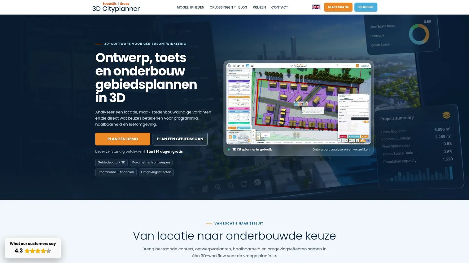
3D Cityplanner is browser-based software for 3D urban planning, development feasibility, financial analysis, phasing, and stakeholder communication. It supports parametric 2D and 3D design with public and custom map layers, GIS data via WMS and WFS sources, and built-in calculations for density, parking, construction costs, revenues, and residual land value. The 4D phasing feature lets teams model how a site develops over time, which is useful for communicating complex multi-stage projects to investors or planning committees. Shadow, sunlight, and sightline analysis sit alongside the financial model, so design and economics stay connected.
Best for: Municipalities, developers, and consultants that need planning scenarios tied directly to feasibility metrics.
Key features
- Browser-based 2D and 3D design
- Density, parking, cost, revenue, and land-value calculations
- Shadow, sunlight, and sightline environmental analysis
- 4D phasing for multi-stage project planning
- GIS layer support via WMS and WFS
Why choose 3D Cityplanner: Choose it when feasibility, phasing, costs, revenues, and land-use metrics must sit inside the design model rather than a separate spreadsheet. This is a stronger fit for teams that need more than a visual massing study. A 14-day free trial is available; students can access it free for educational use.
3D Cityplanner pricing: Starter plan starts at €79/month or €790/year. Professional is €175/month or €1,800/year. Team runs €475/month or €4,900/year. Organisation is priced from €9,900/year with a custom package.
G2 rating: 4.3/5
5. Modelur
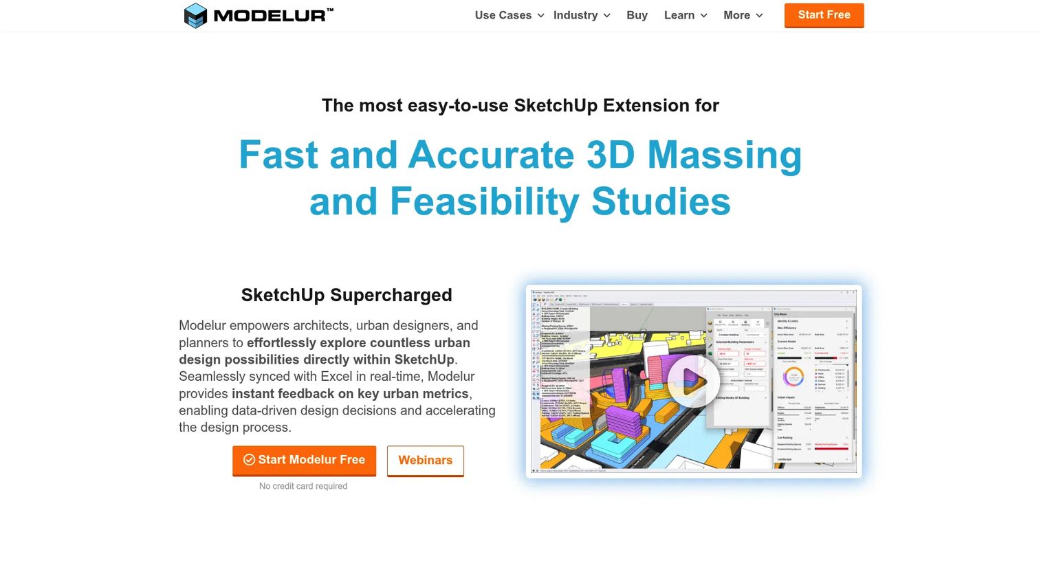
Modelur is a parametric urban design extension for SketchUp and Rhino that brings planning calculation logic into the 3D modeling environment. As you design, Modelur calculates floor area ratios, parking requirements, unit counts, and zoning compliance in real time, flagging violations as the model changes. It supports OpenStreetMap and GIS import and export, and an Excel LiveSync feature keeps external data sheets current as the model updates. The free tier covers non-commercial use, making it accessible for academic and exploratory work before a commercial license is needed.
Best for: Urban designers working in SketchUp or Rhino who want planning calculations integrated into the modeling workflow.
Key features
- Real-time zoning compliance warnings
- Floor area, parking, and unit-count calculations
- OpenStreetMap and GIS import and export
- Excel LiveSync for live data connection
- Massing generation and development phasing
Why choose Modelur: Modelur makes the most sense for design teams already using SketchUp that want planning logic inside the tool they know, rather than switching to a dedicated feasibility platform. Confirm SketchUp dependency and team skill fit before purchase; the tool adds no value to a team that does not already work in SketchUp.
Modelur pricing: A free non-commercial plan is available. Commercial plans start at €74/seat/month on an annual basis, €98/seat/month quarterly, or €149/seat/month monthly. Prices exclude VAT.
G2 rating: 4.0/5
6. TestFit
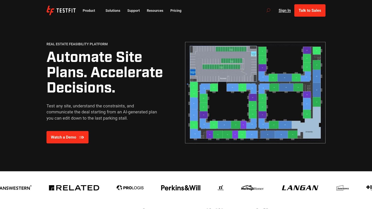
TestFit is a real estate feasibility platform that uses generative design to automate site planning, unit yield testing, parking layouts, and deal economics. Rather than sketching building placements manually, teams input site constraints and building typologies and TestFit generates viable layouts in seconds. It incorporates zoning, topography, flood zones, wetlands, and utility data alongside real-time pro forma calculations, so design and deal viability stay connected from the first iteration. Exports work directly with Revit, AutoCAD, SketchUp, and CSV formats, and an MCP Connection add-on is available for additional integration workflows.
Best for: Real estate developers, architects, and contractors testing whether a site works before committing to detailed design or acquisition.
Key features
- Generative site planning and layout automation
- Real-time pro forma and deal evaluation
- Zoning, topography, and environmental data integration
- Quantity takeoffs and conceptual cost modeling
- Revit, AutoCAD, and SketchUp export
Why choose TestFit: TestFit answers one question faster than any other tool on this list: Does this site pencil out? It is not a broad municipal GIS planning platform or a visualization tool. If the core job is feasibility at the deal stage, TestFit is purpose-built for that. Add-ons for Site Intelligence ($150/month), Pro Forma ($170/month), and MCP Connection ($100/month) are available on top of base plans.
TestFit pricing: Parking Solver is $195/month. Site Solver starts at $15,000/year billed annually. Site Solver Portfolio starts at $20,000/year.
G2 rating: 4.3/5
7. SketchUp
SketchUp is one of the most widely used 3D modeling tools in architecture and urban design. Its low entry barrier, large model library in 3D Warehouse, and browser plus desktop access make it a default choice for concept modeling, massing studies, and stakeholder-facing visuals. The extension ecosystem adds analytical and BIM capabilities, though specialist planning analysis typically requires companion tools rather than SketchUp alone. Revit, IFC, and DWG compatibility means SketchUp models move into coordinated workflows without manual rebuilding.
Best for: Teams that need quick, communicable 3D models without heavy technical setup or specialist GIS skills.
Key features
- Web, iPad, and desktop access across plans
- 3D Warehouse model and materials library
- Revit, IFC, and DWG compatibility
- LayOut for 2D documentation
- Point-cloud modeling with Scan Essentials (Studio plan)
Why choose SketchUp: Choose SketchUp when speed and visual communication matter more than deep GIS integration or simulation. It is the tool most likely to get a concept in front of a planning committee or investor within a day. For urban design visualization tools beyond massing, the extension ecosystem covers a wide range of add-ons, though those add cost and configuration time.
SketchUp pricing: Go plan is $10.75/user/month billed annually. Pro is $33.25/user/month. Studio is $71.58/user/month. All plans are billed annually; prices exclude tax.
G2 rating: 4.5/5
8. Rhino
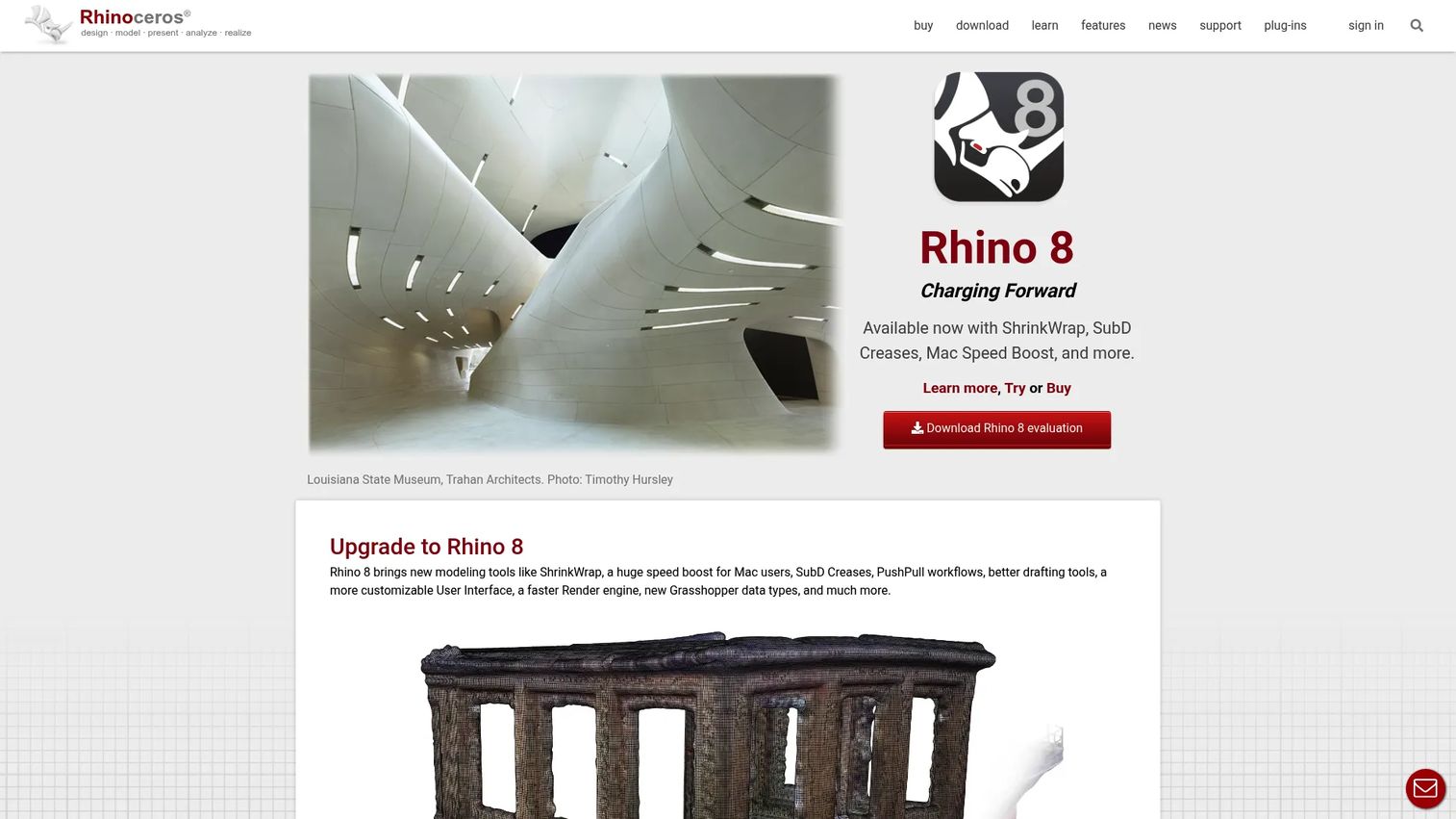
Rhino is a professional 3D modeler widely used in architecture, urban design, and computational design for its ability to handle complex free-form geometry with precision. The Grasshopper visual programming environment extends Rhino into parametric urban design, making it a foundation for rule-driven form exploration, performance-driven design, and plugin-based analysis workflows. Rhino uses a perpetual license model rather than a subscription, which changes the total cost calculation relative to SaaS tools. A 90-day full-functionality evaluation is available.
Best for: Advanced design firms building complex urban forms and parametric studies that standard modeling tools cannot handle.
Key features
- Free-form NURBS, SubD, solid, and mesh modeling
- Grasshopper visual programming for parametric design
- 2D drafting, documentation, and live section tools
- Rendering, analysis, and digital fabrication support
- Plugin-driven workflows for urban analysis and simulation
Why choose Rhino: Rhino rewards computational design expertise. Firms with Grasshopper skills can automate form generation, test design rules, and run analysis workflows that go well beyond massing. It is not the right starting point for a team new to parametric design, and the learning curve is steeper than tools designed for planning generalists.
Rhino pricing: Commercial license is a one-time purchase of US$995. Student license is US$195. Upgrade from an older version is US$595 (commercial) or US$95 (student). A 90-day evaluation is available at no cost.
G2 rating: 4.4/5
9. Revit
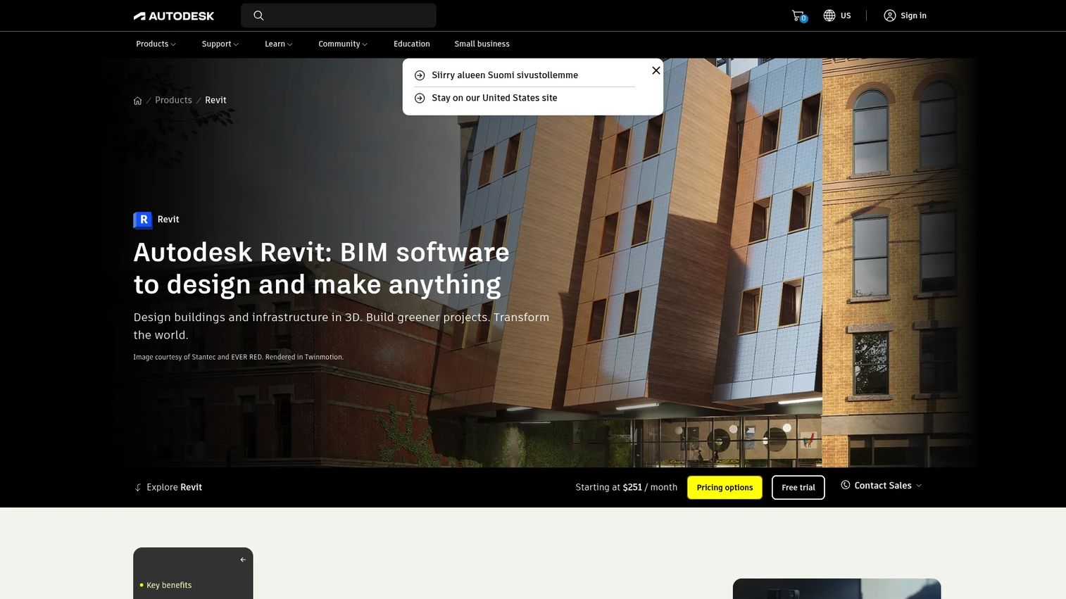
Revit is Autodesk's BIM software for architecture, engineering, and construction teams working on detailed building documentation and multidisciplinary coordination. In urban planning contexts, Revit becomes relevant once planning concepts move from massing and scenario testing toward coordinated building information: Construction documents, quantity schedules, structural and MEP coordination, and delivery workflows. Dynamo and Revit's API extend the platform for custom automation, and Twinmotion integration provides high-quality visualization from Revit models.
Best for: Architecture and engineering teams coordinating building-level BIM within larger urban projects.
Key features
- Parametric BIM components and families
- Multidisciplinary worksharing through centrally shared models
- Construction documentation and revision management
- Dynamo and API-based automation
- Twinmotion integration for visualization
Why choose Revit: Revit is not the best first tool for city-scale scenario planning. It earns its place when planning intent becomes coordinated building deliverables. For founders evaluating proptech or AEC software companies, understanding where Revit sits in the workflow matters: It is a delivery platform, not a concept exploration tool.
Revit pricing: Monthly subscription is $380/month. Annual subscription is $3,005/year. A 3-year subscription is $9,020. Education access is available for eligible students and educators.
G2 rating: 4.6/5
10. ArcGIS Pro
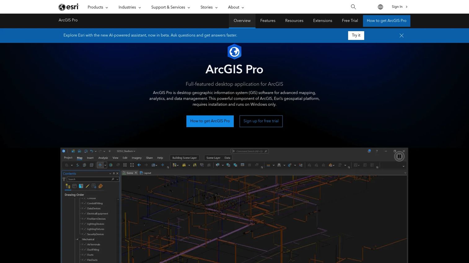
ArcGIS Pro is Esri's professional desktop GIS application for spatial analysis, mapping, data management, imagery, and geoprocessing. For urban planning, it handles the analytical foundation: Parcel and zoning analysis, demographic overlays, infrastructure data, environmental layers, and regional spatial modeling. Its 2D and 3D mapping capabilities, Python and ModelBuilder automation, and deep Esri data integration make it the tool of choice for GIS analysts running complex spatial workflows. ArcGIS Pro is a planning intelligence platform, not a lightweight visualization tool.
Best for: GIS analysts and planning teams that need advanced spatial analysis, map production, and enterprise data management.
Key features
- 2D, 3D, and time-aware mapping and visualization
- Advanced geoprocessing, GeoAI, and spatial analysis
- Spatial data editing and multiuser workflows
- Python, ModelBuilder, and Jupyter Notebook automation
- Imagery and raster analysis
Why choose ArcGIS Pro: Choose it when spatial analysis is the core job, not a supporting task. Teams using ArcGIS Pro alongside ArcGIS Urban get a full Esri stack that covers both analyst-level data work and policy-facing scenario planning. Standalone buyers should contact Esri for user-type licensing options.
ArcGIS Pro pricing: Delivered through ArcGIS Online or ArcGIS Enterprise user-type licensing.
G2 rating: 4.3/5
11. QGIS
QGIS is free, open-source GIS software for mapping, spatial analysis, data editing, and plugin-based planning workflows. It is widely used by public agencies, researchers, planning consultants, and budget-conscious teams who need capable GIS without per-seat license fees. The plugin ecosystem extends QGIS into a broad range of specialized workflows, and its support for a wide range of data formats, including GeoJSON, shapefiles, GeoPackage, and raster imagery, keeps it compatible with most planning data environments.
Best for: Teams that need GIS capability without license cost, particularly public agencies, academic institutions, and consultants working across projects with variable software budgets.
Key features
- Free and open-source, available under the GNU General Public License
- Spatial data editing and digitizing
- Cartographic map production and design
- Plugin ecosystem for extended functionality
- Broad format support across vector, raster, and database sources
Why choose QGIS: QGIS is the right answer when GIS skill exists internally but license cost is a constraint. The trade-off is that enterprise support, administration, and governance depend on internal capability or third-party service providers rather than a vendor. For teams comparing open-source urban planning software with commercial GIS platforms, QGIS covers the core GIS job for many planning workflows at zero software cost.
QGIS pricing: Free of charge. Available at qgis.org under the GNU General Public License.
G2 rating: 4.5/5
12. UrbanFootprint
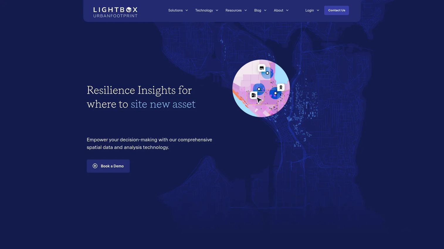
UrbanFootprint is a web-based resilience decision intelligence platform for analyzing urban conditions, environmental risk, community vulnerability, and climate exposure. It is used by government agencies, utilities, financial institutions, and planning organizations working at regional or community scale on long-horizon planning decisions. The platform layers geospatial mapping with scenario modeling, climate and hazard assessment, land-use analysis, and mobility access data to support policy and investment decisions. UrbanFootprint is more of a strategic analytics platform than a freeform design or massing tool.
Best for: Public agencies, utilities, and consultants evaluating land-use, resilience, climate risk, and infrastructure investment priorities at regional scale.
Key features
- Geospatial mapping and data exploration
- Scenario and policy-impact analysis
- Climate, hazard, and resilience assessment
- Land-use and mobility access analysis
- Data-rich planning layers for community and regional workflows
Why choose UrbanFootprint: Choose it when the planning question involves policy, resilience, equity, climate exposure, or infrastructure investment at regional scale. It is not a tool for site-level massing or development economics. Teams looking for advanced planning and scheduling software with a spatial dimension will find UrbanFootprint addresses a different job: Strategic data analysis for long-term decisions.
UrbanFootprint pricing: Contact UrbanFootprint for pricing.
G2 rating: 4.4/5
13. CommunityViz
CommunityViz is an ArcGIS extension for scenario planning, land-use modeling, suitability analysis, and fiscal impact assessment. Planning teams use it to compare land-use alternatives with measurable community impacts: What changes in traffic, school enrollment, tax revenue, or infrastructure cost when a scenario shifts from low-density residential to mixed-use? A 30-day no-cost trial is available, and pricing is structured for commercial, government, non-profit, academic, and student users, which makes it accessible to public-sector planning teams with constrained budgets.
Best for: Community planning teams and GIS analysts that need to compare land-use alternatives with transparent, measurable impacts.
Key features
- Scenario planning and comparison
- Suitability and build-out modeling
- Fiscal impact analysis
- Dynamic geospatial analysis with customizable indicators
- 3D visualization and report generation
Why choose CommunityViz: CommunityViz fits planning processes where stakeholders need to see what each alternative changes, not just what it looks like. It is an ArcGIS extension, so ArcGIS is a dependency. Teams not already on ArcGIS should factor that into the total cost and stack fit assessment.
CommunityViz pricing: Commercial single-seat license is $500 (12-month support, renewal at $250/year). Government and non-profit single-seat is $290 (renewal at $145). Student and home use is $100 for a one-year activation. A 30-day trial is available at no cost.
14. Autodesk InfraWorks
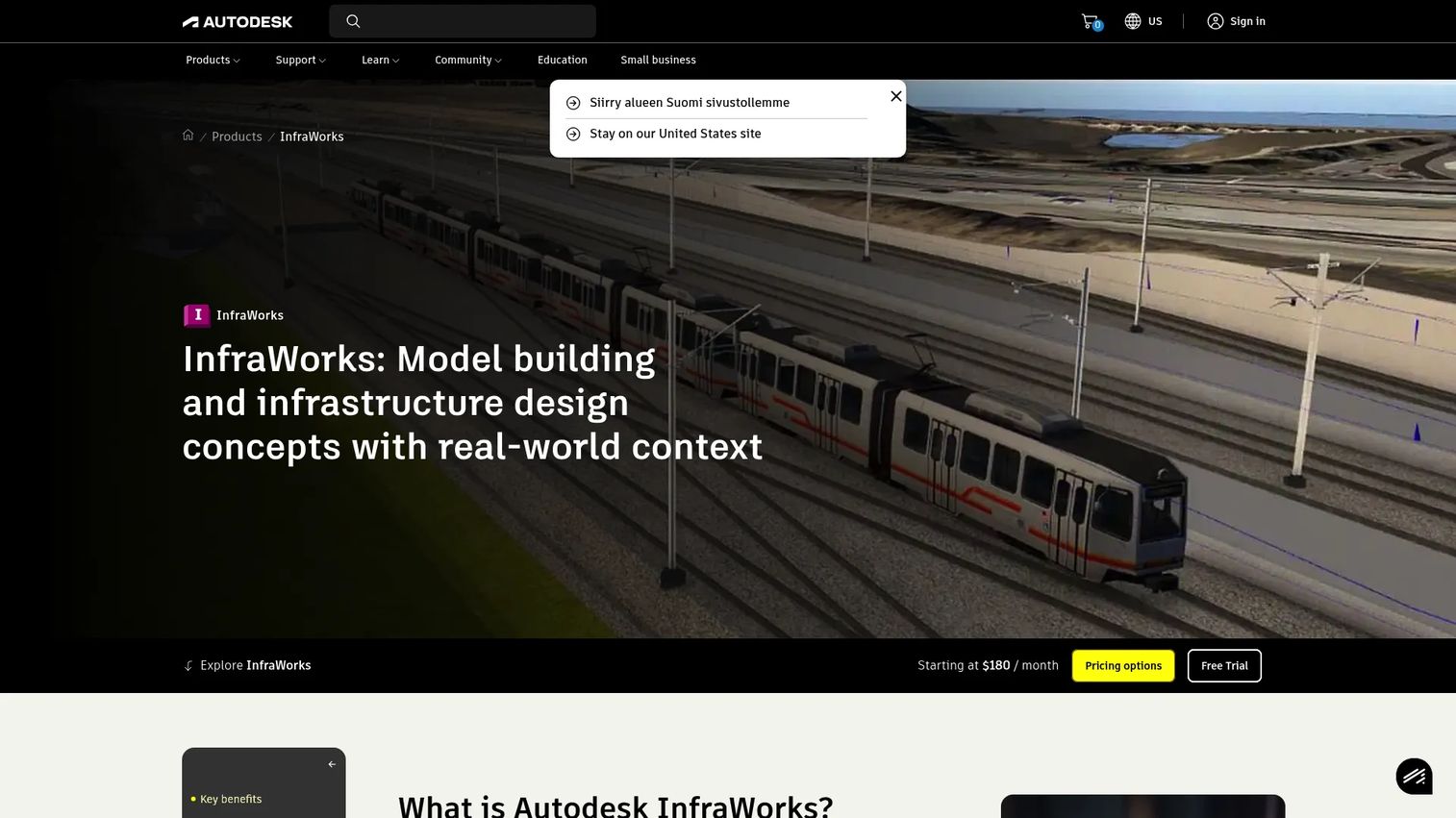
Autodesk InfraWorks is conceptual design software for modeling, analyzing, and visualizing infrastructure projects in real-world geographic context. It handles road and corridor design, rail and transit concepts, bridge and tunnel layouts, and water infrastructure, all set within terrain derived from GIS, geospatial, and reality-capture data. Traffic simulation, flood analysis, and line-of-sight tools help teams evaluate infrastructure options before detailed civil design begins. InfraWorks pairs naturally with Civil 3D and Revit for teams that need to move from concept to detailed delivery.
Best for: Civil engineering and infrastructure planning teams connecting urban planning concepts to road, corridor, and civil infrastructure design.
Key features
- Conceptual road, rail, bridge, and tunnel design
- Context modeling from GIS, geospatial, and reality-capture sources
- Traffic, mobility, flood, and watershed analysis
- Storyboard and animation visualization
- Autodesk Civil 3D and Revit workflow connection
Why choose Autodesk InfraWorks: InfraWorks is the right choice when roads, corridors, or infrastructure context shape the planning decision. It is not a replacement for citywide GIS strategy or development feasibility analysis. For founders evaluating infrastructure or transport planning software companies, InfraWorks sits at the intersection of civil design and urban planning, covering the concept stage before detailed engineering takes over.
Autodesk InfraWorks pricing: Monthly subscription is $275/month. Annual subscription is $2,155/year. A free trial is available.
G2 rating: 4.2/5
15. ENVI-met
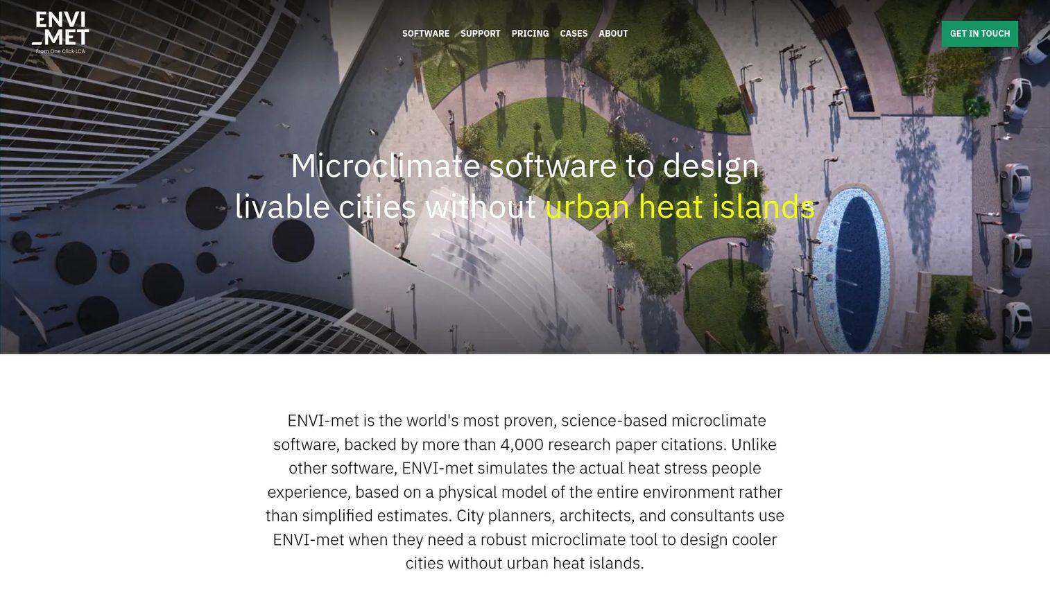
ENVI-met is three-dimensional microclimate simulation software for analyzing urban environments, climate adaptation, and sustainable design. It models wind flow, thermal comfort using PET, SET*, and UTCI indices, pollutant dispersion, vegetation effects, soil conditions, and urban heat simultaneously in a single simulation. Architects, urban planners, landscape professionals, and sustainability consultants use it to test whether a design creates comfortable outdoor conditions before construction begins. A free LITE version is available with a fixed simulation setup, which is useful for initial evaluation.
Best for: Teams testing environmental comfort and microclimate impacts in urban spaces, particularly for climate-conscious design and sustainable planning projects.
Key features
- 3D urban microclimate modeling and simulation
- Thermal comfort analysis using PET, SET*, and UTCI
- Wind flow, pollutant dispersion, and urban heat assessment
- Vegetation, soil, and building physics integration
- Dynamic comfort analysis across time and seasons
Why choose ENVI-met: Choose ENVI-met when environmental comfort is a core planning risk rather than a secondary consideration. It is a specialized simulation tool that requires technical setup and trained interpretation of results. Teams without in-house expertise may need to plan for training time or external support. The free LITE version provides a low-risk starting point before committing to a paid license.
ENVI-met pricing: Business, Universities, and Students license types are available; contact ENVI-met for pricing. A free LITE version is available with a fixed simulation configuration.
Considerations when choosing urban planning and design software
Start with the workflow, not the brand
Decide first whether you need GIS analysis, 3D visualization, feasibility testing, BIM coordination, infrastructure modeling, or environmental simulation. These are different jobs, and buying a tool designed for one to do another creates adoption drag even when the tool itself is strong. Write down the specific decision the software needs to support before evaluating any vendor.
Check data formats before you buy
Compatibility with GIS formats (shapefiles, GeoJSON, GeoPackage), BIM formats (IFC, Revit), CAD formats (DWG), and web map services (WMS, WFS) determines how much data preparation your team needs to do before the tool is useful. Ask each vendor which formats are natively supported and which require conversion or third-party plugins. A tool that cannot ingest your existing data cleanly will cost more in setup time than the license saves.
Match the skill level to the team that will own it
A tool owned by a GIS specialist can be more technically demanding. A tool used by developers, planning committee members, or public stakeholders needs clear outputs without specialist interpretation. Assess not just whether your power users can operate the tool, but whether the people who consume its outputs can act on them without a translation layer.
Price the whole operating model
License cost is one line. Training, internal administration, consulting support for setup, and ongoing model maintenance are the others. For parametric or simulation tools especially, the upfront license is often the smallest cost. Founders evaluating tools for a specialist team should ask: What does this cost when the original user leaves and a new hire needs to get productive fast?
Evaluate the stakeholder output, not just the technical model
The best planning output is not always the most technically sophisticated model. It is the output that gets decisions made across planning boards, investor committees, community groups, or internal leadership. Tools that produce clear, interpretable visuals and scenario comparisons reduce approval cycle length. That is worth pricing.
Conclusion
Urban planning and design software covers enough ground that the right answer almost always starts with a workflow question rather than a tool comparison.
For early-stage design and environmental analysis, Autodesk Forma gives design teams the fastest path from site concept to environmental performance data. ArcGIS Urban and ArcGIS Pro handle GIS-led planning at city scale, with Urban covering scenario planning and Pro covering spatial analysis and data management. TestFit and 3D Cityplanner are the strongest choices when feasibility, unit yield, and development economics need to be answered before design work begins. SketchUp and Rhino serve different visualization needs, with SketchUp accessible to generalist users and Rhino rewarding teams with computational design skill. For teams with GIS needs and no budget for commercial licenses, QGIS covers the core GIS job at no cost. ENVI-met is the specialist pick when microclimate comfort is a core planning risk.
Most planning stacks combine two or three of these tools rather than relying on one. A GIS platform for spatial data, a massing or feasibility tool for scenario testing, and a visualization tool for stakeholder communication is a common pattern. Buy for the specific job each tool needs to do.
If you sell complex planning, GIS, AEC, or infrastructure software, your buyers need to see the workflow before they believe the claim. Guideflow helps SaaS teams turn product flows into interactive demos that prospects can explore before a call, shortening the sales cycle by removing confusion from the buyer's side.
Start your journey with Guideflow today!
FAQs
The best urban planning and design software depends on the workflow. Autodesk Forma is the strongest pick for early-stage design paired with environmental analysis. ArcGIS Urban fits GIS-led scenario planning for municipalities and consultants. TestFit leads for real estate feasibility and site layout testing. QGIS is the best free option for teams that need GIS capability without license cost.
Urban planning software typically focuses on land use, zoning, GIS analysis, demographics, policy, infrastructure, and scenario modeling at city or regional scale. Urban design software focuses more on physical form: Building massing, public spaces, street design, and visual communication. In practice, many tools overlap, and planning teams often use both categories depending on where they are in the decision process.
City planners commonly use GIS platforms, scenario planning tools, 3D modeling tools, and public communication tools. Common choices include ArcGIS Urban and ArcGIS Pro for spatial analysis and scenario work, QGIS for open-source GIS, CommunityViz for land-use impact analysis, SketchUp for massing and visualization, and Autodesk Forma for early-stage design and environmental analysis.
QGIS is the strongest free and open-source GIS option available. It covers mapping, spatial analysis, data editing, and a broad plugin ecosystem at no cost. Teams should plan for internal GIS skill or third-party support, since there is no vendor-backed enterprise support model. CommunityViz also offers a 30-day no-cost trial, and Modelur provides a free non-commercial plan.
ArcGIS CityEngine is the most powerful option for procedural 3D city modeling at scale, using rule-based generation from GIS data. SketchUp is the most accessible choice for concept massing and visualization without specialist technical skills. Rhino suits firms with computational design expertise building complex parametric forms. 3D Cityplanner offers browser-based 3D planning tied to feasibility metrics for teams that need both.
TestFit is purpose-built for rapid site planning and yield testing, with generative layouts and real-time pro forma analysis. 3D Cityplanner is the stronger option when financial feasibility, phasing, density calculations, and parking analysis need to sit inside the 3D planning model rather than a separate spreadsheet.
Check workflow fit first: GIS analysis, 3D visualization, feasibility testing, BIM coordination, and environmental simulation are different jobs requiring different tools. Confirm supported file formats against your existing data. Assess the skill level of the team that will own the tool day-to-day. Factor in training, administration, and ongoing maintenance costs alongside the license price. Finally, check whether the tool produces outputs your stakeholders can act on without specialist interpretation.
Yes, for workflows that involve parcels, zoning, land use, demographics, infrastructure, or environmental layers. Spatial evidence drives most planning decisions, and tools that cannot ingest or connect to GIS data require manual data preparation that slows the workflow. Some visualization tools can operate without deep GIS integration at the concept stage, but GIS becomes essential when spatial data needs to inform decisions rather than just illustrate them.