

Your user does not care whether your backend calls it geocoding, routing, or spatial analysis. They care whether they can find the right location, trust the result, and move on. For PMs, that means location software is not a map widget. It is a product decision with data quality, engineering cost, privacy, and maintenance attached.
The global location intelligence market reached $25.06 billion in 2025, according to Mordor Intelligence (2026). Location intelligence software alone held 66.88% of that market share. That scale reflects how broadly these tools now span across product, operations, sales, and analytics workflows.
Picking the wrong class of tool is expensive. A full GIS platform is overkill for a store locator. A lightweight spreadsheet mapper cannot support territory design at scale. The goal of this guide is to help you match the tool to the actual job before you commit engineering capacity.
What's inside
This guide covers 15 location software tools for product, operations, sales, and data teams. Each entry was evaluated against four criteria:
- Primary location job: What specific problem does this tool solve?
- Implementation path: API, no-code, or desktop?
- Data and mapping depth: Geocoding, territory design, spatial analysis, or store lookup?
- Maintenance workload: Who owns updates, and how easy is iteration?
The list includes map APIs, GIS platforms, no-code mapping tools, store locator software, and territory planning tools.
TL;DR
- Best for embedded maps and place data: Google Maps Platform
- Best for everyday navigation and local discovery: Google Maps
- Best for business mapping from spreadsheets: Maptive
- Best for enterprise GIS and advanced spatial analysis: Esri ArcGIS
- Best for developer-controlled map experiences: Mapbox
- Best open-source GIS option: QGIS
- Best for sales territory planning: eSpatial or Smappen
What is location software?
Location software is software that helps teams collect, visualize, analyze, search, or act on geographic data such as addresses, coordinates, territories, routes, service areas, and physical locations.
The category is broad, and that breadth causes buying mistakes. A PM evaluating "location software" might be looking at six genuinely different tools depending on the actual job.
Core types of location software
- Map APIs: Embedded maps, place search, geocoding, routing, and custom map UI for product experiences
- Location intelligence platforms: Geographic analysis for market planning, territories, and site decisions
- GIS software: Spatial analysis, layer management, advanced geodata, and enterprise workflows
- Store locator software: Website tools for nearby stores, dealers, clinics, providers, and service points
- Spreadsheet mapping tools: Import CSV or spreadsheet data and turn it into map views
- Route and territory tools: Drive-time, radius, territory coverage, and service-area analysis
Key features to look for
Knowing what you need before shortlisting saves a lot of back-and-forth with vendors. For PMs, the most important questions center on data quality, iteration speed, and who owns the system after launch. Features worth checking include:
- Geocoding and address validation
- Map visualization and custom styling
- Location search and filter controls
- Route planning and drive-time analysis
- Territory or service-area mapping
- Spreadsheet, CRM, and API integrations
- Analytics and usage reporting
- Access controls and data governance
- Pricing model fit for expected usage volume
The last point matters more than most people expect. Many platforms price by API calls, map loads, or geocoding requests. Estimating usage before choosing avoids a nasty billing surprise six months into production.
When to use location software
Help users find the right physical location
Store locators, dealer locators, provider search, and branch finders all share one job: Getting a user from intent to a trusted next step. The PM's challenge here is not picking a pretty map widget. The job is ensuring the data behind that map is accurate, the search filters match how users actually think, and the results produce a confident next action rather than a list of pins to guess from.
Turn geographic data into product or business decisions
Territory design, expansion planning, service coverage analysis, and customer distribution mapping all require seeing patterns that spreadsheets hide. Operations and product teams that try to do this in a spreadsheet typically end up with a pivot table that only one person can interpret. Visual mapping surfaces the same insight in minutes and makes it shareable.
Add location features without building the full map stack
Embedded maps, geocoding, place search, routing, and custom map layers are frequently requested features that carry significant engineering cost if built from scratch. For PMs weighing opportunity cost, a map API or no-code tool often delivers the same user-facing outcome at a fraction of the implementation overhead. That tradeoff is worth pricing out before committing a sprint to custom infrastructure. For more context on best location intelligence software, see our related guide.
Location software comparison
Pricing and G2 ratings below were verified against each vendor's pricing page and G2 listing. Tools without a reviewable G2 presence are marked N/A. Rows follow the same order as the full tool sections below.
| # | Product | Best for | Key differentiator | Pricing | G2 rating |
|---|---|---|---|---|---|
| 1 | Google Maps Platform | Embedded maps and place data APIs | Broad APIs for maps, routes, places, and geocoding | From $100/mo | 4.5/5 |
| 2 | Google Maps | Navigation and local discovery | Consumer-grade directions, traffic, place reviews, and local search | Free (consumer app); API pricing via Platform | 4.5/5 |
| 3 | Maptive | Business mapping from spreadsheets | Fast map creation for sales, operations, and location analysis | From $110/mo | 4.7/5 |
| 4 | Mapline | Spreadsheet mapping and operations planning | Visual analysis for territories, routes, and business data | Free tier; paid pricing by quote | 4.8/5 |
| 5 | Esri ArcGIS | Enterprise GIS and spatial analysis | Deep GIS platform for advanced geospatial workflows | Quote-led by user type | 4.5/5 |
| 6 | BatchGeo | Simple spreadsheet-to-map publishing | Quick CSV and spreadsheet mapping with minimal setup | Free; Pro $99/mo | 4.7/5 |
| 7 | Mapbox | Custom developer map experiences | Flexible map rendering and developer-first customization | Free tier; from $50/mo for support | 4.3/5 |
| 8 | ZeeMaps | Collaborative online map creation | Easy shared maps for teams, events, and location projects | From $29.95/mo | 4.4/5 |
| 9 | EasyMapMaker | Fast address plotting from spreadsheets | Lightweight map creation with filtering and marker customization | Free; Pro $29/mo | N/A |
| 10 | Scribble Maps | Drawing, annotation, and custom map markup | Map drawing tools for planning, presentations, and collaboration | Free; Pro Basic $14/mo | N/A |
| 11 | eSpatial | Sales territory planning | Territory management, routing, and sales mapping | From $499/user/year | 4.3/5 |
| 12 | QGIS | Open-source GIS | Free desktop GIS with advanced spatial analysis | Free | 4.5/5 |
| 13 | CARTO | Cloud-native spatial analytics | Location intelligence for data teams and analytics workflows | Free trial; quote-led paid plans | 4.5/5 |
| 14 | Mango GIS | Web GIS publishing portals | Simple web GIS publishing for organizations and clients | From $79/mo (annual) | N/A |
| 15 | Smappen | Site selection and catchment analysis | Drive-time, isochrone, and market-area analysis | Free tier; paid plans by quote | 4.3/5 |
Best 15 location software tools for 2026
1. Google Maps Platform
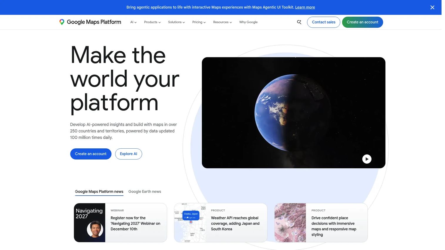
Google Maps Platform is Google's developer-facing suite of APIs and SDKs for building location-aware applications. It covers maps, routes, places, and environment data across web and mobile. Product teams choose it when they need familiar, trusted map UX inside their own product without owning the geospatial infrastructure behind it.
Best for: Product and engineering teams building location-aware web or mobile applications.
Key features
- Maps JavaScript API, 3D maps, and Street View
- Directions, Routes API, and route optimization
- Places API: Search, place details, and photos
- Geocoding API and time-zone data
- Custom map styling with Cloud-based maps
Why choose Google Maps Platform: The breadth of APIs means you can ship embedded maps, nearby search, geocoding, and turn-by-turn navigation from one platform. For PMs, the tradeoff is usage-based billing that scales with product growth, so estimating map loads and API calls before launch matters.
Google Maps Platform pricing: Subscription plans start at $100/month (Starter, 50,000 calls/mo), $275/month (Essentials, 100,000 calls/mo), and $1,200/month (Pro, 250,000 calls/mo). Pay-as-you-go pricing is also available by SKU, with monthly free usage credits included.
G2 rating: 4.5/5
2. Google Maps
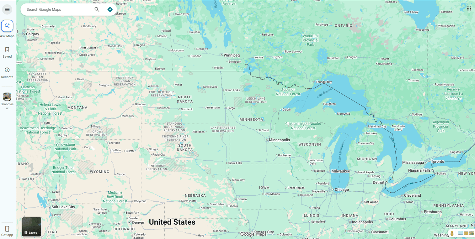
Google Maps is the consumer navigation and local discovery application used by hundreds of millions of people worldwide. For PMs, it functions as the benchmark for what users expect from a location experience: Fast turn-by-turn directions, live traffic, local business information, and offline capability. It is not a business analytics tool, but understanding its UX patterns shapes what your users will expect from your own location features.
Best for: Teams that need consumer navigation, local discovery, and an understanding of end-user location expectations.
Key features
- Turn-by-turn navigation with live traffic and rerouting
- Local business search with hours, reviews, and photos
- Street View and offline maps
- Public transit information and saved places
- Location sharing
Why choose Google Maps: Choose it as the user experience reference point for your location features. For anything requiring embedded maps, API access, or custom business logic, the Maps Platform API offering is the right path.
Google Maps pricing: The consumer app is free. Business or product use requiring API access, custom map embeds, or geocoding runs through Google Maps Platform. Subscription plans start at $100/month.
G2 rating: 4.5/5
3. Maptive
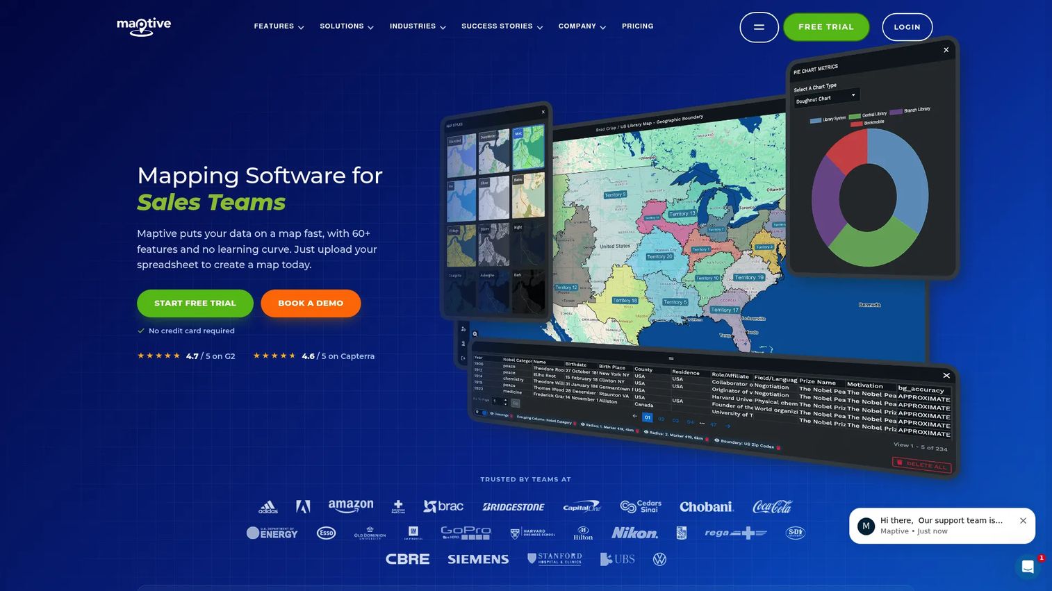
Maptive turns spreadsheet data into interactive business maps for sales territories, franchise planning, customer distribution, and location analysis. Upload a CSV, map your columns to the geocoder, and you have a visual layer over your data within minutes. All plans include the full set of 60+ mapping tools, so capability differences come down to user count and data volume rather than feature gating.
Best for: Business teams that want location intelligence without heavy GIS setup.
Key features
- Spreadsheet imports with geocoding
- Heat maps, bubble maps, and demographic overlays
- Territory mapping and balancing
- Route optimization and distance matrices
- Radius tools and drive-time analysis
Why choose Maptive: It is a strong validation tool before committing to a custom productized location workflow. For PMs who want to show stakeholders a geographic pattern quickly, the speed from CSV to shareable map is a genuine advantage.
Maptive pricing: A 10-day free trial is available without a credit card. Paid plans start at $110/month (Pro) or $1,250/year. Team plans run $220/month or $2,500/year. Enterprise pricing is volume-based. A one-time 45-day pass costs $250.
G2 rating: 4.7/5
4. Mapline
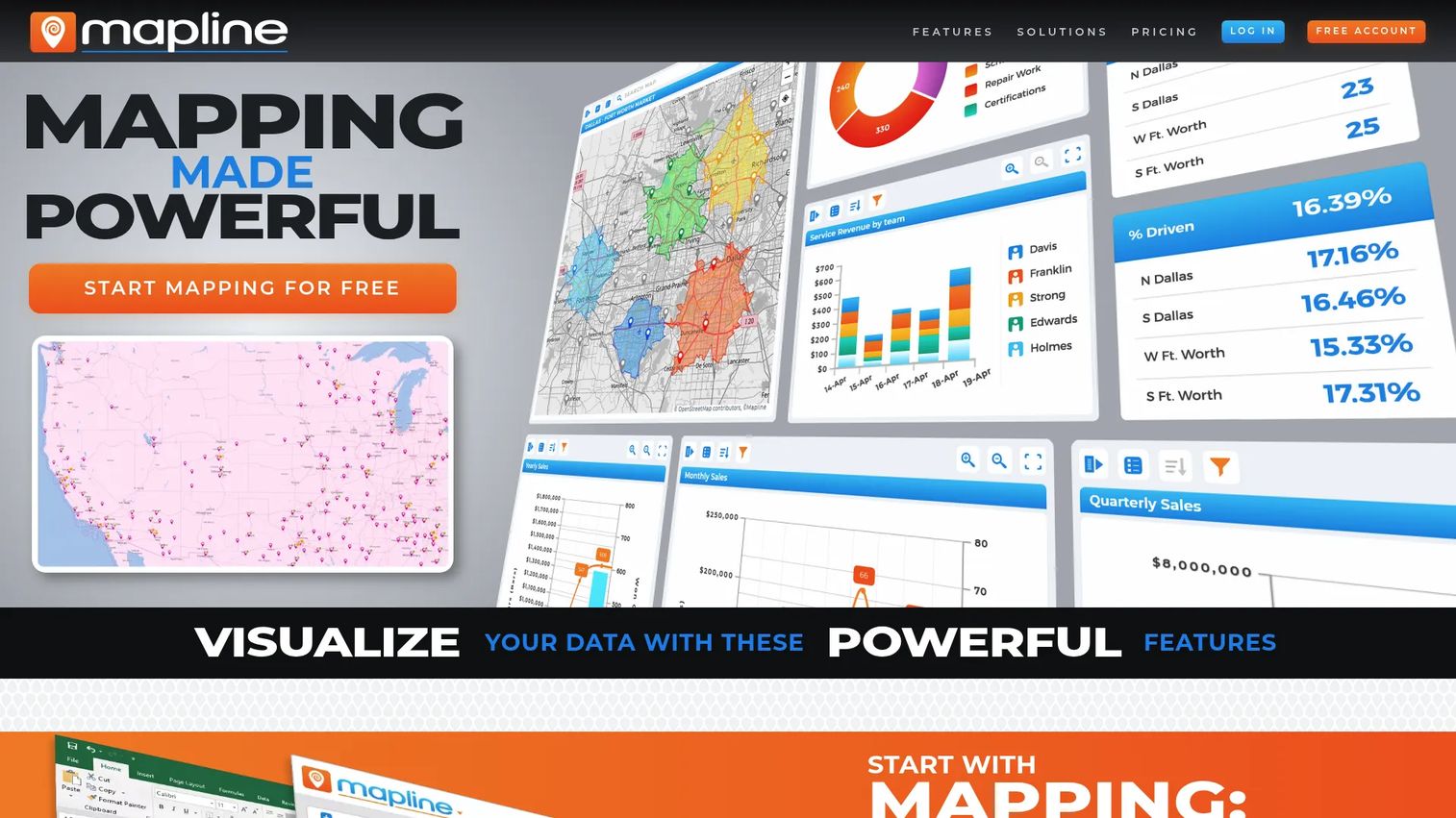
Mapline is a location intelligence platform for mapping business data, analyzing territories, planning routes, and identifying geographic patterns. It connects spreadsheet data to decisions through visual map layers, dashboards, and workflow automation. Operations-heavy teams use it to make field activity, distribution coverage, and territory assignments visible without building a custom BI layer.
Best for: Operations, sales, and field teams mapping business data and managing territories.
Key features
- Spreadsheet uploads and territory visualization
- Heat maps and drive-time polygons
- Route planning and optimization
- Charts, dashboards, and data filtering
- API and connector integrations
Why choose Mapline: It works well when internal teams need to act on location data before a product team builds a permanent workflow. The free starter tier lets teams prove the value before committing to paid access.
Mapline pricing: A free Geospatial Starter tier is available. Contact the vendor for user and data volume costs.
G2 rating: 4.8/5
5. Esri ArcGIS
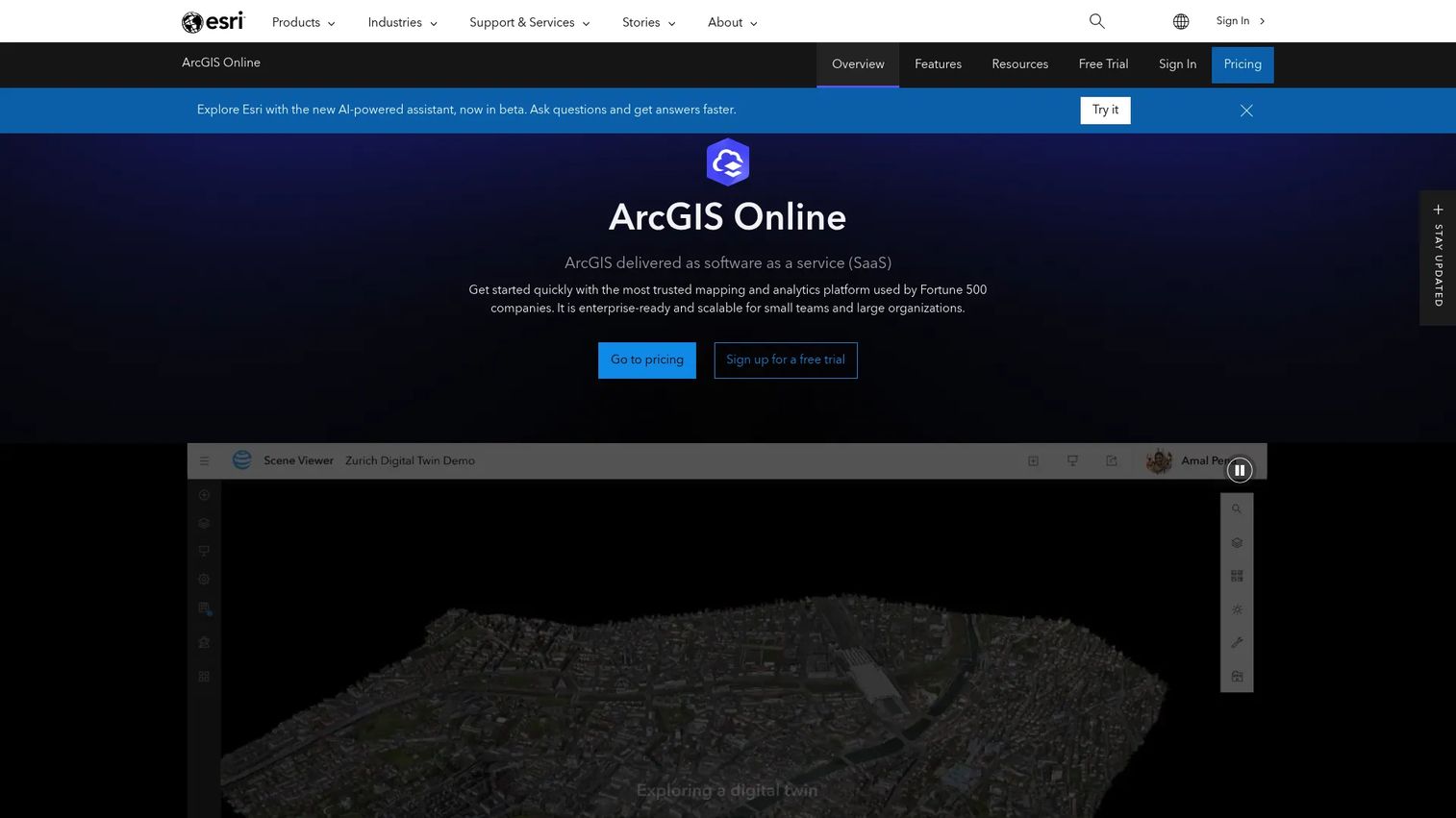
Esri ArcGIS is the enterprise GIS platform for organizations with serious geospatial requirements. ArcGIS Online supports advanced spatial analysis, geodata management, field data collection, web maps, dashboards, and enterprise workflows. A 2025 Esri/RSR survey found that 92% of retailers and CPG companies said sharing location-based insights internally had boosted revenue, which reflects how central GIS has become in multi-location operations.
Best for: Organizations with dedicated geospatial teams and advanced GIS requirements.
Key features
- Spatial analysis and visualization
- Enterprise GIS with collaboration and secure sharing
- Field data collection and mobile workflows
- Web maps, dashboards, and apps
- ArcGIS Living Atlas authoritative content
Why choose Esri ArcGIS: ArcGIS is the right choice when the work involves regulatory geodata, complex multi-layer spatial analysis, or organization-wide GIS infrastructure. For a PM who needs a store locator or embedded map, it is more platform than the job requires.
Esri ArcGIS pricing: ArcGIS Online is sold through annual user type licenses. Contact sales for Creator, Professional, Mobile Worker, and Viewer license costs.
G2 rating: 4.5/5
6. BatchGeo
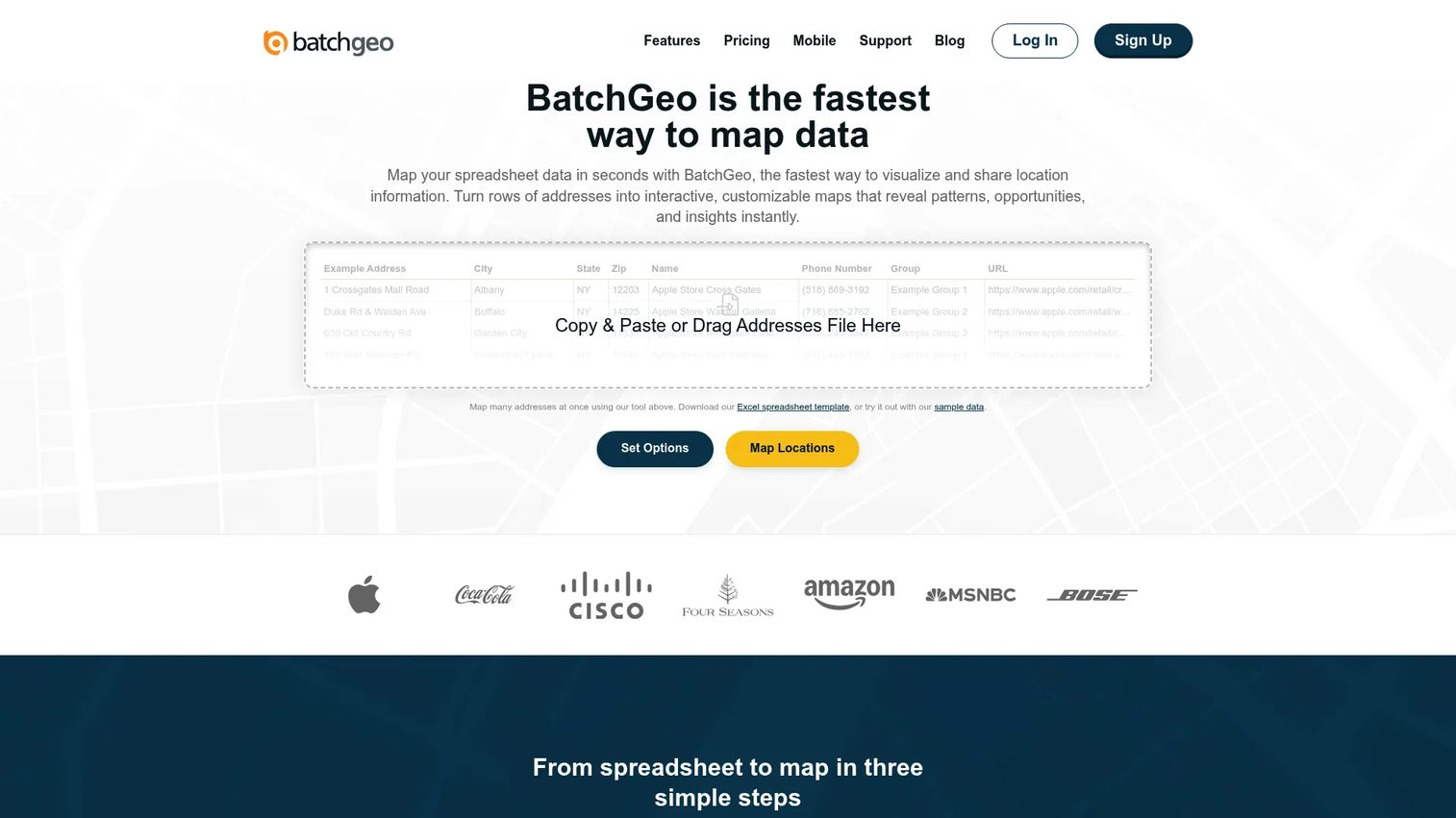
BatchGeo is a lightweight tool for turning spreadsheets into shareable maps. Paste your data, hit Map Now, and a geocoded interactive map is ready to share or embed. No GIS expertise required. It is built for teams where the primary workflow is "upload addresses, create a map, distribute it" rather than advanced spatial analysis.
Best for: Teams that need simple spreadsheet-to-map publishing with minimal setup.
Key features
- Excel, CSV, and Google Sheets imports
- Address geocoding with customizable markers
- Map sharing and password protection
- Multi-stop route optimization (Pro)
- PDF, PNG, and KML export
Why choose BatchGeo: For PMs, it is a fast way to validate geographic patterns or create stakeholder alignment before making a larger location product investment. The free tier handles basic use cases, while Pro adds team users and route optimization.
BatchGeo pricing: Free plan available. Pro costs $99/month and adds larger geocoding limits, team users, route optimization, Street View, and advanced export options.
G2 rating: 4.7/5
7. Mapbox
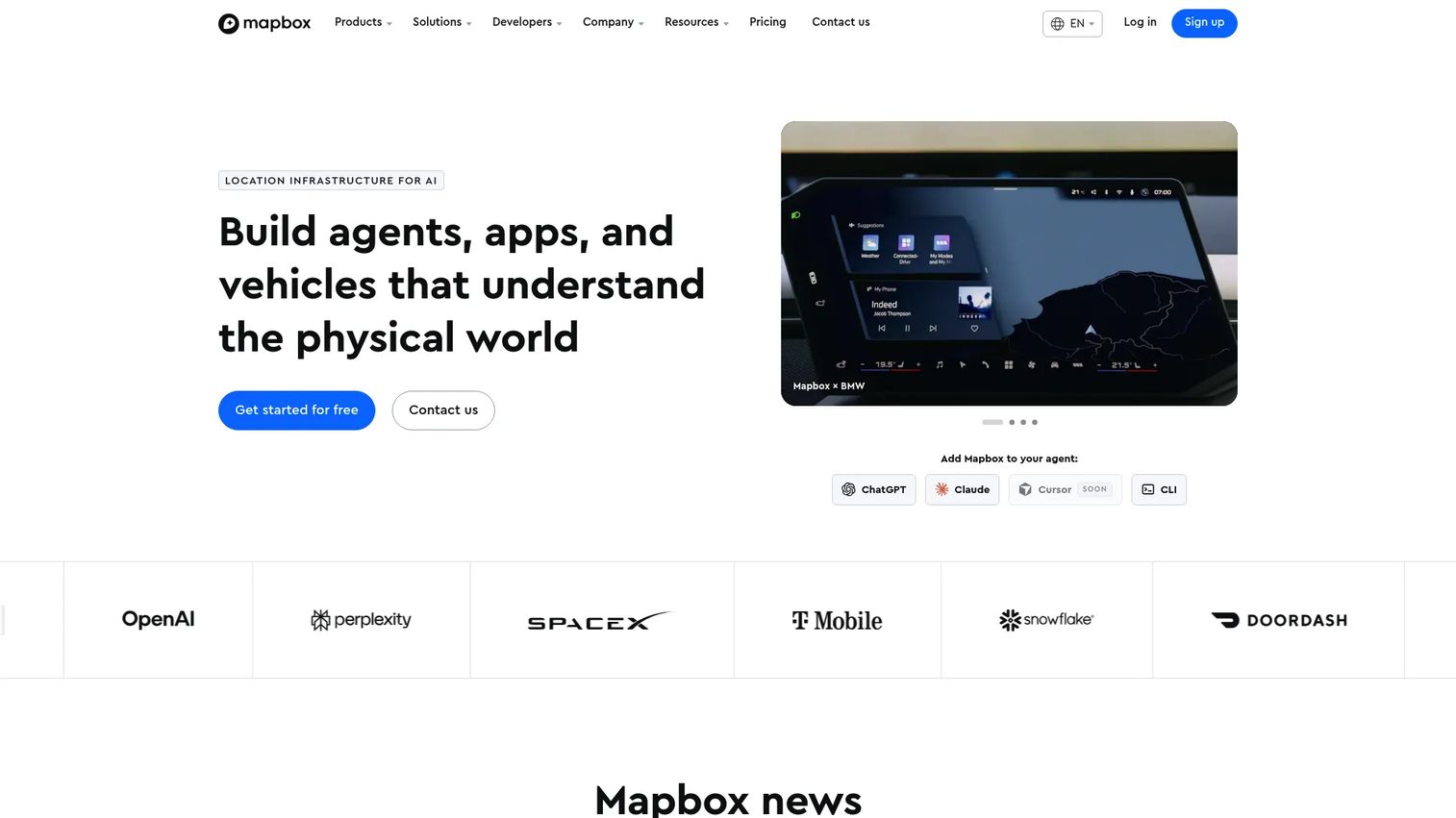
Mapbox is a developer-first mapping platform for custom maps, location search, navigation, and geospatial data visualization. It gives product teams more design control than a default map, with custom styling, vector tiles, and SDK support for iOS and Android. When map UX is part of the product experience rather than a plug-in, Mapbox is worth the additional setup investment.
Best for: Product teams building branded, custom, or data-rich map experiences.
Key features
- Custom map styles and vector tiles via Mapbox Studio
- Mapbox GL JS for interactive web maps
- Mobile SDKs for iOS and Android
- Search, geocoding, and address autofill APIs
- Routing and navigation SDKs
Why choose Mapbox: Choose Mapbox when brand control over the map layer matters and your team has the engineering capacity to implement it. Cost rises with monthly active users, map loads, search sessions, and navigation usage, so model that before committing.
Mapbox pricing: Free usage tiers are available across many products, with pay-as-you-go rates after. Individual Support plans start at $50/month. Business Support runs 10% of monthly spend with a $500/month minimum.
G2 rating: 4.3/5
8. ZeeMaps
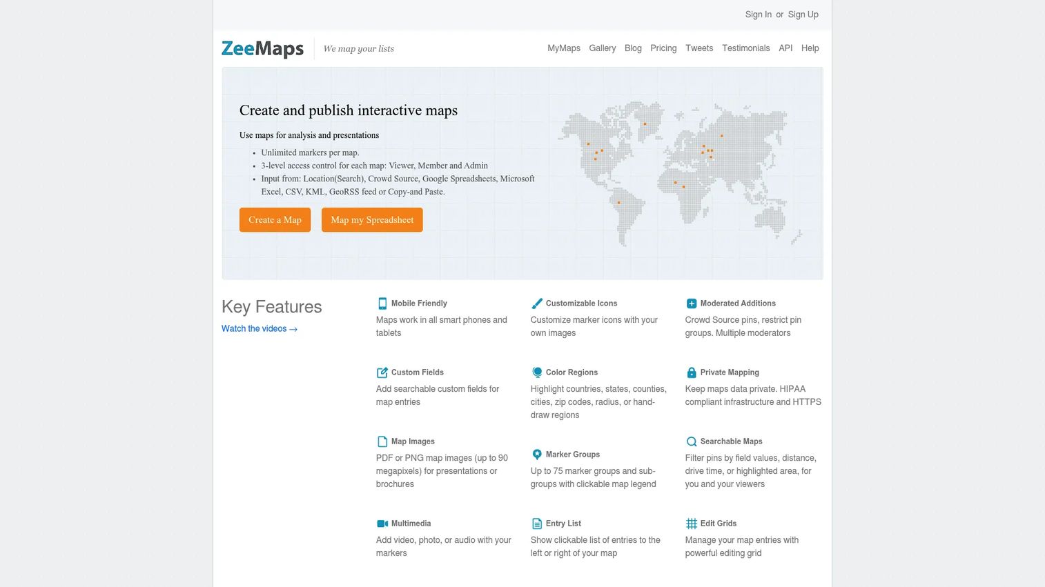
ZeeMaps lets teams create, publish, and share interactive online maps for projects, events, field operations, and simple collaboration. It is lighter than enterprise GIS and practical for non-technical teams that need to maintain location lists without routing every update through engineering.
Best for: Teams that need collaborative online maps without technical setup.
Key features
- Unlimited markers per map and spreadsheet imports
- Custom fields, multimedia markers, and heat maps
- Real-time traffic overlays and region highlights
- Route optimization and driving directions
- REST API and map embedding
Why choose ZeeMaps: It suits situations where marketing, operations, or field teams need to own and update location data themselves. The tiered plan structure means teams can start small and scale as map complexity grows.
ZeeMaps pricing: A free trial covers up to 100 map views. Paid plans start at $29.95/month (Professional) or $299.95/year. Professional Publisher runs $59.95/month. Enterprise is $149.95/month.
G2 rating: 4.4/5
9. EasyMapMaker
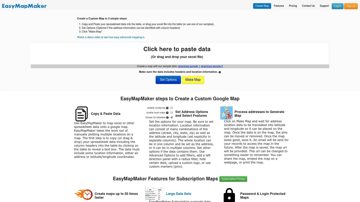
EasyMapMaker is a web-based tool for plotting addresses and spreadsheet records onto a custom map. The focus is narrow: Upload data, see it on a map, share or export. For PMs, it is a fast way to validate geographic patterns in a dataset before committing to a larger location product investment.
Best for: Small teams that need fast address plotting and map sharing.
Key features
- Address plotting from Excel or spreadsheet imports
- Custom markers, pin labels, and radius filters
- Map sharing and password protection
- Heat maps and clustering
- Export to PDF or PNG
Why choose EasyMapMaker: Its narrow scope is the point. For a one-off analysis or a quick visualization to include in a product brief, it removes friction without requiring setup. For ongoing production use or large datasets, a more capable tool will be a better fit.
EasyMapMaker pricing: A free Basic plan supports up to 250 pins per map. Pro costs $29/month (up to 1,500 pins), Premium $59/month (15,000 pins), and Enterprise $99/month (30,000 pins).
10. Scribble Maps
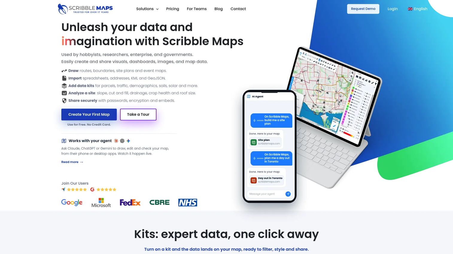
Scribble Maps is a mapping platform built around drawing, annotating, measuring, and customizing maps. It is useful for planning, stakeholder presentations, emergency response, route sketching, and collaboration where the goal is visual communication rather than production geocoding.
Best for: Teams that need map markup, planning visuals, and collaborative annotations.
Key features
- Map drawing: Routes, boundaries, site plans, and event maps
- Custom annotations and measurement tools
- Import spreadsheets, KML, and GeoJSON
- Demographic, traffic, parcel, and soil data kits
- Map export and secure sharing with password protection
Why choose Scribble Maps: PMs can use it to clarify service areas, proposed coverage, or location-based workflows for stakeholders before engineering implementation begins. The built-in AI assistant adds a newer layer for map creation guidance.
Scribble Maps pricing: A free plan covers five maps with basic drawing tools. Pro Basic costs $14/month (prepaid annual) or $19/month. Pro Business runs $90/month (annual) and adds data connectors, route optimization, and white labeling.
11. eSpatial
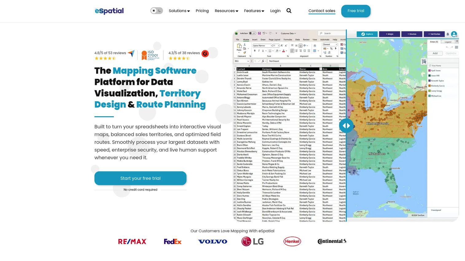
eSpatial is territory mapping software for sales operations and field coverage planning. It supports territory design and optimization, route planning, sales mapping, CRM integration, and performance overlays. For RevOps and sales leadership, it makes territory decisions visual and evidence-based rather than consensus-driven.
Best for: Sales and RevOps teams designing territories and planning field coverage.
Key features
- Territory planning and optimization
- Route optimization and driving directions
- Sales mapping with performance overlays
- Salesforce CRM integration
- Map sharing and export
Why choose eSpatial: It addresses a specific job that generic mapping tools handle poorly: Balancing sales territories against account distribution, rep capacity, and geographic logic. A 7-day free trial is included with all plans.
eSpatial pricing: Mapping Pro starts at $499/user/year (minimum 3 users). Professional Territory Manager runs $2,665/user/year. Advanced Territory Manager is $4,999/user/year. All plans are billed annually.
G2 rating: 4.3/5
12. QGIS
QGIS is a free and open-source desktop GIS platform with serious spatial analysis capabilities. It handles points, lines, polygons, and meshes, processes geospatial data with hundreds of built-in tools, and extends through a large plugin ecosystem. For technical teams that need GIS depth without per-seat licensing costs, it is the most capable free option in this list.
Best for: Technical teams that need open-source GIS and strong spatial analysis without licensing costs.
Key features
- Open-source GIS: Points, lines, polygons, and meshes
- Spatial analysis with hundreds of processing tools
- Layer management and professional print layouts
- Plugin ecosystem for extended capabilities
- Desktop mapping and reproducible analysis workflows
Why choose QGIS: The absence of license cost is real, but adoption depends on internal GIS expertise. For a PM team without a dedicated geospatial analyst, the learning curve and the challenge of sharing outputs with non-technical stakeholders are the practical tradeoffs to weigh.
QGIS pricing: Free under the GNU General Public License. Paid support and managed services are available through the community and third-party providers.
G2 rating: 4.5/5
13. CARTO
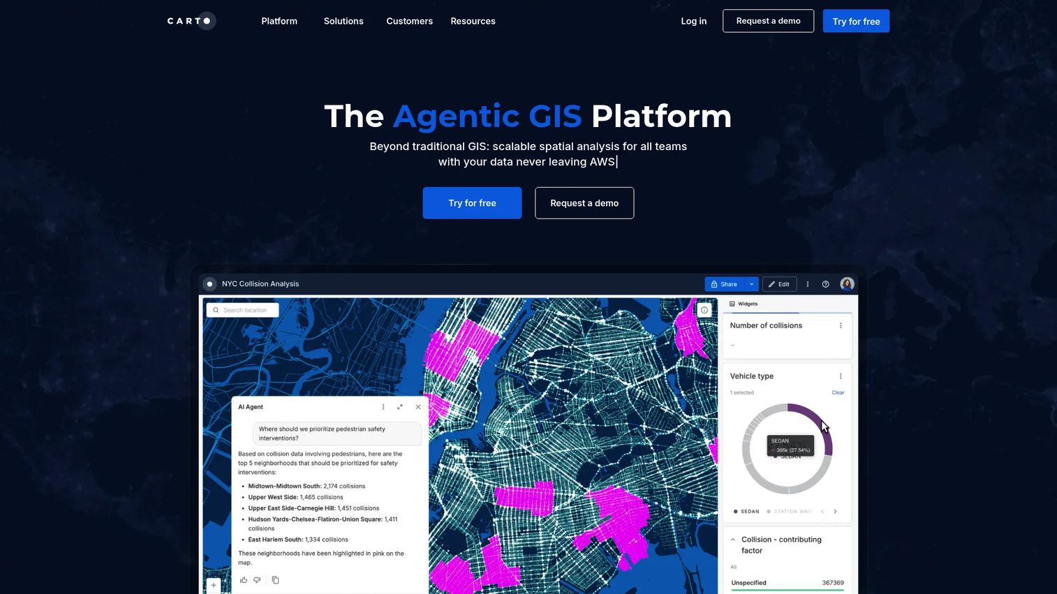
CARTO is a cloud-native location intelligence and spatial analytics platform. It connects to modern data warehouses, runs spatial analysis at scale, and supports visualization through CARTO Builder. For data teams building location intelligence into business intelligence workflows, it is one of the few tools in this list that treats location data as a first-class analytical input rather than a display layer.
Best for: Data teams building spatial analytics and location intelligence workflows at scale.
Key features
- Low-code spatial analysis with 100+ analysis components
- Visualization of billions of data points through CARTO Builder
- Cloud data connections to major data warehouses
- Data Observatory with 12,000+ curated datasets
- AI agents for geospatial tasks and natural-language insights
Why choose CARTO: It is relevant when location data becomes part of data visualization and business intelligence rather than just UI display. The platform suits organizations already running cloud data infrastructure who want spatial analysis inside their existing stack.
CARTO pricing: A 30-day free trial is available. Paid tiers (Enterprise, Strategic, Custom) are annual commitments priced by quote. A Pay As You Go metered option exists for teams not ready to commit.
G2 rating: 4.5/5
14. Mango GIS
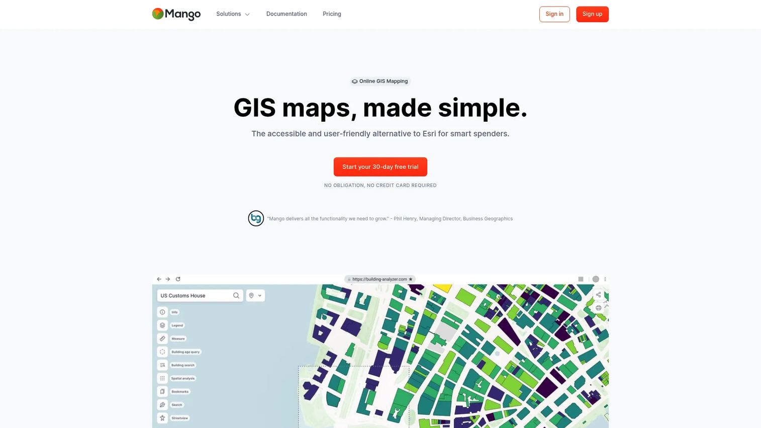
Mango GIS is a no-code online GIS platform for creating, analyzing, branding, and publishing interactive web map portals. Organizations use it to distribute geographic information to clients, departments, or public audiences without building custom GIS infrastructure or requiring users to have GIS expertise.
Best for: Teams publishing web GIS portals and sharing maps with clients or external stakeholders.
Key features
- Web GIS publishing with no-code setup
- Map portals with layer controls and custom branding
- Support for Shapefile, KML, CSV, and GeoJSON
- Role-based permissions and public or private sharing
- Multi-user editing and WMS integration
Why choose Mango GIS: The fit is strongest when the job is distributing map-based information rather than building an embedded consumer map experience. A 30-day free trial is included, and all plans are billed annually.
Mango GIS pricing: Business starts at $79/month (20 maps, 4 GB storage). Enterprise runs $159/month (40 maps, 8 GB+). Agency is $319/month (100 maps, 16 GB+). All prices are billed annually.
15. Smappen
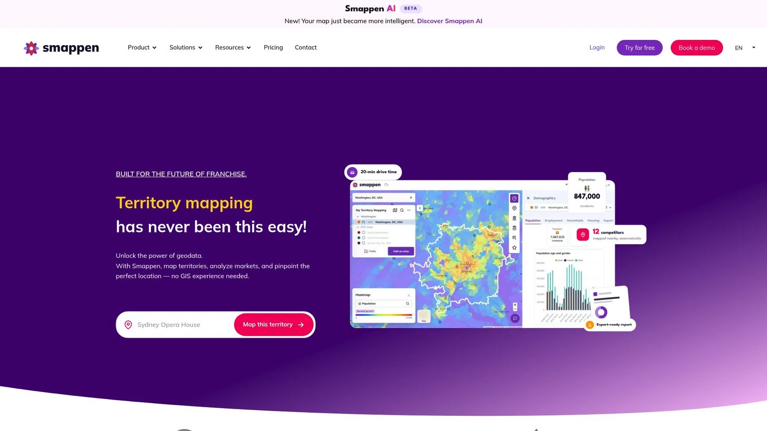
Smappen is web-based territory mapping and geographic market-analysis software focused on catchment areas, drive-time maps, isochrones, and site selection. It is built for retail, franchise, and multi-unit brands that need to answer "who can this location serve?" before committing to a site or territory.
Best for: Franchise and multi-unit development teams designing territories and planning market expansion.
Key features
- Drive-time areas and isochrone maps
- Radius analysis and territory planning
- Population demographics and points of interest data
- Import customer data from Excel and visualize on maps
- Branded reports and territory overlap identification
Why choose Smappen: For PMs and operations teams whose product question is market coverage rather than map display, Smappen addresses the specific job of evaluating site potential and territory viability. A free tier is available for initial exploration.
Smappen pricing: A free tier is available. Contact the vendor for per-plan costs.
G2 rating: 4.3/5
Considerations when choosing location software
Start with the location job, not the map
Separate user-facing map display from analytics, territory planning, store lookup, and routing. A well-designed map interface does not fix bad location data or unclear user intent. Write down the specific workflow your team needs to support before opening a vendor comparison.
Check the data model before the UI
Ask what data the tool manages: Addresses, coordinates, polygons, territory rules, store attributes, hours, or services. For PMs, the more important question is who owns updates and how errors get corrected. A tool that requires a developer for every location change will bottleneck maintenance.
Estimate usage-based costs early
Google Maps Platform and Mapbox both price by API calls, map loads, geocoding requests, and route calculations. For sales planning software that embeds maps at scale, those numbers can grow quickly. Estimate monthly usage before committing, not after launch.
Decide who will maintain locations
A no-code store locator works well when marketing or operations owns updates. A developer API is better when location behavior is deeply embedded in the product and needs custom logic, versioning, or tight data model control. Matching the tool to the owner matters as much as matching it to the use case.
Validate privacy and governance requirements
User location permission, account-level data access, internal territory sensitivity, and customer-location handling all carry compliance implications that vary by region and product context. Keep this operational rather than legal, but surface the questions early enough that your security or legal team can weigh in before you are deep in implementation.
Conclusion
"Location software" is not one category. It is six different buying jobs with overlapping names and very different implementation costs.
For PMs building embedded location UX into a product, Google Maps Platform or Mapbox are the structural choice. For business teams who need to turn spreadsheet data into useful maps quickly, Maptive or Mapline get there faster than a GIS platform. For organizations with dedicated geospatial analysts and advanced spatial requirements, Esri ArcGIS or QGIS offer the depth. For revenue teams designing territories and optimizing field coverage, eSpatial or Smappen address those jobs directly. For data teams connecting location analysis to their cloud stack, CARTO is built for that model.
The right starting point is the specific job, not the category. Map the workflow, estimate the usage, and ask who owns the data after launch before committing to implementation.
Start your journey with Guideflow today!
FAQs
Location software is software that helps teams collect, visualize, analyze, search, or act on geographic data. That includes mapping tools, store locators, geocoding APIs, GIS platforms, territory planners, and route optimization systems. The right tool depends on whether the job is showing a map to a user, analyzing spatial data internally, or managing a set of physical locations over time.
GIS software is a deeper subset of location software focused on spatial data management, layer analysis, and advanced geodata workflows. Products like QGIS and Esri ArcGIS are GIS tools. Location software is a broader category that also includes store locator builders, map APIs, spreadsheet mapping tools, and consumer navigation apps, most of which do not require GIS expertise to operate.
The answer depends on the product job. Teams building embedded maps, place search, or geocoding into a web or mobile application typically evaluate Google Maps Platform or Mapbox. Teams whose product needs spatial analytics as part of a data workflow tend to look at CARTO, Esri ArcGIS, or QGIS. No-code tools like Maptive or BatchGeo work when the job is internal data visualization rather than production product features.
Store locator requirements generally include nearest-location search, filter controls, directions, location data management, branded map styling, and usage analytics. Google Maps Platform handles custom-built store locators well when you have engineering capacity. For simpler publishing with a no-code setup, Mango GIS and ZeeMaps offer map portal options that non-technical teams can manage and update without developer involvement.
eSpatial, Mapline, Maptive, and Smappen each address territory planning from different angles. eSpatial focuses on territory optimization and CRM integration for sales teams. Mapline and Maptive both start from spreadsheet data and add territory and routing layers. Smappen is built for catchment analysis and market expansion decisions. The best fit depends on whether territory rules, CRM data, drive-time analysis, or market demographics are the primary input.
QGIS is production-grade GIS software used by governments, universities, and enterprises worldwide. For technical teams with GIS expertise, it handles advanced spatial analysis, layer management, and professional map output at no license cost. The practical tradeoff is that sharing outputs with non-technical stakeholders and maintaining governance without a commercial support contract requires internal planning. Paid support options exist through the QGIS community and third-party providers.
Pricing varies significantly by model. Developer platforms like Google Maps Platform and Mapbox price by API calls, map loads, geocoding requests, and route calculations, so costs scale with product usage. No-code tools like BatchGeo and ZeeMaps use monthly subscription tiers starting around $30 to $100/month. Territory planning tools like eSpatial start at $499/user/year. Enterprise GIS platforms use quote-led licensing. QGIS is free. For advanced planning tools that incorporate location, estimate usage volume before choosing a pricing model.
Use an API when location is core to the product experience and requires custom UX, data model control, or tight integration with application logic. Google Maps Platform and Mapbox are built for this. Use a no-code tool when the primary job is publishing locations, importing spreadsheets, or giving business teams control over location data without engineering work. The engineering opportunity cost is the deciding factor: An API implementation that takes two sprints may not be worth it when a no-code tool delivers the same user outcome in a day.