


Most civil engineering teams do not choose one tool. They choose a stack. A road project touches corridors, surfaces, and grading. A water project pulls in hydrology and pipe networks. A structural scope needs analysis and code checks. Then the whole thing has to coordinate, review, and deliver without rework eating the schedule.
That is the real buying problem. You are not comparing a single product against another single product. You are comparing design software, BIM coordination, GIS context, structural analysis, and project delivery tools at the same time, often across different disciplines that report into the same deadline.
The money behind this is not small. The global civil engineering design software market is projected to grow from USD 7.16 billion in 2025 to USD 13.49 billion by 2034, at an 8.8% CAGR according to The Insight Partners (2024). Cloud is a big part of that shift. Around 58% of AEC companies are adopting cloud-based platforms for workflow automation and real-time data access, per Business Research Insights (2025).
So this is not a directory. It is a ranked shortlist of the best civil engineering software for 2026, sorted by relevance to how infrastructure teams actually work. If your team is comparing tools the way many software buyers do, browsing audit management software one week and design platforms the next, this guide keeps the civil-specific criteria front and center. We also point out where each tool fits by discipline, so you can match the pick to the workflow instead of buying the biggest brand name and hoping.
What's inside
This guide is for civil engineers, BIM leads, structural and water teams, transportation planners, and the technical buyers comparing options across disciplines. We built the list around five criteria that matter to real infrastructure delivery:
- Category relevance to civil engineering, not adjacent industries
- Workflow breadth across design, coordination, and delivery
- Discipline coverage: structural, water, transportation, geotechnical, and site
- Collaboration and cloud capabilities for distributed teams
- Fit for how modern infrastructure teams evaluate and adopt tools
The list mixes broad platforms with focused workflow tools, because most teams end up running both.
TL;DR
- Best overall for broad civil workflows: Autodesk, for teams that want CAD, BIM, and design software under one ecosystem.
- Best for structural analysis and design: SkyCiv, for browser-based structural work with strong code support.
- Best for cloud collaboration and project delivery: Procore for construction management, Trimble for field-to-office.
- Best for BIM-heavy infrastructure: Bentley Systems, for large-scale connected projects and digital twins.
- Best for GIS and spatial context: Esri, for planning, mapping, and asset context.
- Best for civil design authoring: Civil 3D for corridors and grading, InfraWorks for early concept modeling, AutoCAD as the drafting baseline.
Teams comparing tool categories the way they'd compare contract management or event management platforms should shortlist by discipline first, then check collaboration and integration fit.
What is civil engineering software?
Civil engineering software is a category of design, modeling, analysis, and delivery tools that engineers use to plan, document, coordinate, and construct infrastructure such as roads, bridges, water systems, and site developments. It spans several subcategories, and most firms use more than one at once.
The major subcategories in a civil engineering software catalog, organized by discipline:
- CAD and drafting: 2D and 3D drawing, documentation, and detailing.
- BIM for civil engineering: model-based design with data-rich objects, used for coordination and clash detection.
- Structural engineering software: analysis, load modeling, and code-compliant member design.
- Water engineering software: hydrology, hydraulics, stormwater, and pipe network modeling.
- Transportation engineering software: roadway, rail, corridor, and mobility design.
- Geotechnical engineering software: soil, slope, foundation, and earthworks analysis.
- GIS for civil engineering: spatial data, mapping, and asset context for planning and decisions.
- Construction management software: budgets, RFIs, submittals, field coordination, and delivery.
What these tools typically do: create and document designs, model terrain and infrastructure, run engineering analysis, coordinate across disciplines, manage shared data, and support digital project delivery from concept through construction. The line most buyers care about is between authoring tools that produce the design and delivery tools that manage building it. A modern civil stack usually blends a BIM and GIS workflow with cloud collaboration so distributed teams work from one source of truth.
When to use civil engineering software
Select civil engineering software for multidisciplinary design
Pick a broad platform when your firm runs more than one discipline through the same project and needs them to coordinate. Roads, drainage, utilities, and structures that share a site benefit from shared data, common file formats, and clean handoffs between teams. A suite reduces the friction of moving a surface model from the survey team to the corridor designer to the reviewer. If your projects routinely cross disciplines, the coordination overhead of stitching point solutions together usually outweighs their individual strengths.
Select civil engineering software for BIM and coordination
Choose model-based BIM tools when rework and coordination errors are eating your schedule. A shared model catches clashes early, keeps quantities honest, and gives reviewers a single object to comment on instead of a stack of drawings. This matters most on projects with multiple review cycles and many stakeholders. The payoff shows up in fewer surprises during construction and faster approvals, because everyone is looking at the same coordinated model rather than reconciling separate files.
Select civil engineering software for specific infrastructure workflows
Reach for specialized tools when a discipline needs depth a general platform does not provide. Structural analysis, stormwater modeling, and transportation corridor design each have dedicated software built for the engineering that discipline demands. These point tools often deliver deeper code support, better analysis, and workflow features tuned to the task. Many teams pair a specialized tool with a broad platform, using the focused product for the hard engineering and the suite for coordination and delivery.
Comparison table
Here is the shortlist at a glance, sorted by relevance to the civil engineering software category rather than alphabetically. Pricing and ratings reflect verified public sources; where a vendor does not publish a price, the table says so.
| # | Product | Intent | Key use case | Pricing | G2 rating |
|---|---|---|---|---|---|
| 1 | Autodesk | Broad civil ecosystem | CAD, BIM, and design across disciplines | AutoCAD Web from $100/year; AutoCAD $2,095/year | 4.4/5 |
| 2 | SkyCiv | Structural analysis | Browser-based analysis and design | From US$79/mo | 4.6/5 |
| 3 | IMAGINiT | Autodesk services and tools | Reseller, consulting, workflow automation | Clarity Cloud from $50/project/month | Not listed |
| 4 | Bentley Systems | Infrastructure design | Large-scale projects and digital twins | Subscription and perpetual; contact sales | Not listed |
| 5 | Procore | Construction management | Project and financial delivery | Custom quote by construction volume | 4.6/5 |
| 6 | Trimble | Field-to-office | Construction collaboration and BIM | Trimble Connect free; Pro $149/user/year | 4.4/5 |
| 7 | Esri | GIS and spatial | Mapping, planning, asset context | ArcGIS Online Professional Plus $4,200/year | 4.5/5 |
| 8 | AutoCAD | CAD drafting | 2D and 3D documentation | $2,095/year | 4.4/5 |
| 9 | Civil 3D | Civil design authoring | Corridors, surfaces, grading | $275/month or $2,205/year | 4.4/5 |
| 10 | InfraWorks | Conceptual modeling | Early design and visualization | Subscription; free 30-day trial | 4.2/5 |
1. Autodesk
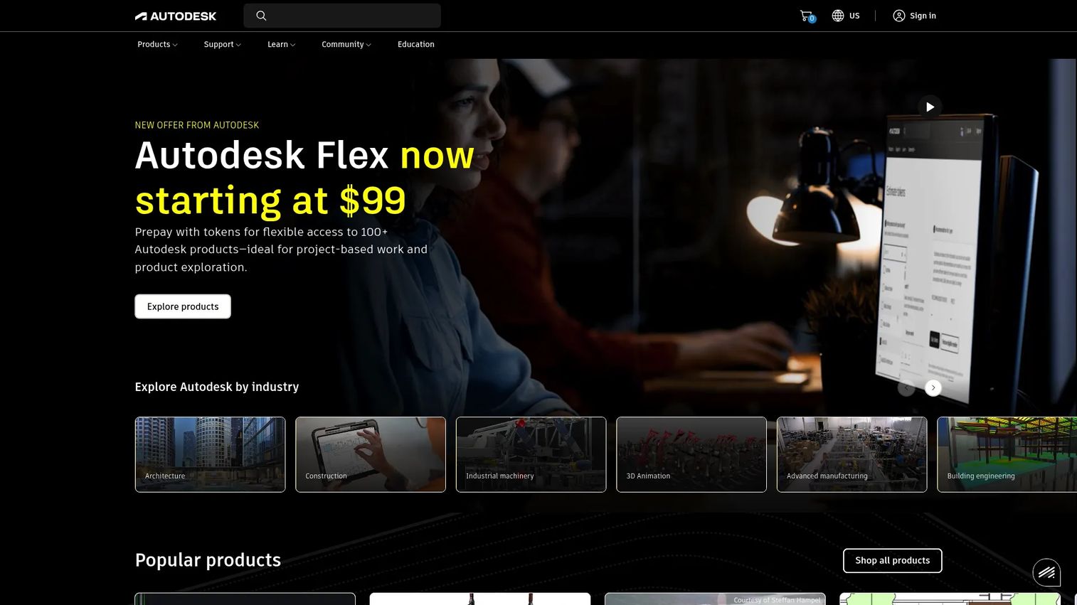
Autodesk is the anchor of most civil engineering stacks. It is a design and make software platform spanning architecture, engineering, construction, manufacturing, and media, and its civil portfolio covers CAD drafting, BIM workflows, and cloud-based design, simulation, and data management. For teams that want CAD, BIM, and industrial design software from one vendor, Autodesk is the default starting point, and many of the tools later in this list are Autodesk products.
The reason Autodesk sits at number one is breadth without leaving the ecosystem. A civil team can draft in AutoCAD, design corridors in Civil 3D, model concepts in InfraWorks, and coordinate through shared cloud data, all inside one licensing and file structure. That reduces the interoperability pain that kills cross-discipline projects.
Best for: Firms that want CAD, BIM, and design software from a single vendor across multiple disciplines.
Key strengths
- 2D and 3D CAD drafting: Industry-standard authoring that the rest of the civil world already knows how to use.
- BIM and building design workflows: Model-based design for coordination, clash detection, and data-rich delivery.
- Cloud design, simulation, and data management: Shared environments that keep distributed teams working from one source of truth.
Why choose Autodesk: If your firm already lives in AutoCAD and Civil 3D, staying inside the Autodesk ecosystem removes file conversion headaches and keeps everyone on compatible versions. It is the safe, broad backbone for a multidisciplinary civil team, especially when you want BIM and CAD to talk to each other without middleware.
Autodesk pricing: Autodesk publishes product-by-product pricing rather than one universal plan. AutoCAD Web starts at $100/year, full AutoCAD is $2,095/year, AutoCAD LT is $540/year, and Fusion is $680/year. Flex prepay starts at 33 tokens for $99. Free access is available through trials and education, not a permanent free public plan. Autodesk holds a 4.4/5 rating on G2.
2. SkyCiv
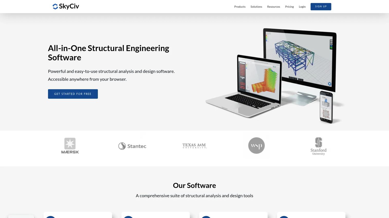
SkyCiv is cloud-based structural engineering software that runs in the browser. For structural teams working inside the broader civil category, it delivers analysis and integrated design modules without a heavy desktop install, which makes it easy to access across offices and devices. It covers structural analysis, design modules, a Section Builder, and reporting.
Structural work is one of the disciplines where a specialized tool earns its place. SkyCiv fits the pattern of pairing a focused structural product with a broader design platform, handling the analysis and code checks while the suite handles coordination and delivery.
Best for: Structural engineers who want browser-based analysis and design without desktop dependency.
Key strengths
- Cloud-based structural analysis: Run models from any browser without local installs or hardware constraints.
- Integrated design modules: Move from analysis to code-compliant member design in one environment.
- Section Builder and reporting: Build custom sections and generate documentation that supports submittals.
Why choose SkyCiv: If your structural team is distributed, works across devices, or wants strong code support without managing desktop licenses, the browser-based model fits well. It also suits engineers who want an API to connect structural analysis into wider workflows. SkyCiv holds a 4.6/5 rating on G2, among the highest on this list.
SkyCiv pricing: SkyCiv offers a free tier plus paid plans. The Basic Account starts at US$79/month, the Professional Account at US$109/month, and Enterprise runs around US$5,000/year. That range covers solo engineers through firm-wide deployments, with monthly billing on the lower tiers keeping the entry point accessible.
3. IMAGINiT

IMAGINiT is not a design tool. It is an Autodesk-focused reseller and consulting services provider that helps organizations get more out of the Autodesk software they already run. It shows up on this list because a civil engineering software catalog is not only about the authoring products; it is also about who helps you deploy, automate, and support them. IMAGINiT offers Autodesk software and related solutions, IMAGINiT Clarity workflow automation, and the ProductivityNOW eLearning and support platform.
For teams standardizing on Autodesk, the services layer matters. Clarity automates repetitive tasks and manages workflows, while ProductivityNOW covers training and support, which is where many software rollouts stall.
Best for: Organizations on Autodesk software that need reseller, consulting, training, or automation support.
Key strengths
- Autodesk software and solutions: A single partner for licensing, deployment, and the surrounding services.
- IMAGINiT Clarity workflow automation: Automate repetitive Autodesk tasks and manage document workflows.
- ProductivityNOW eLearning and support: Training and support that drives adoption after the purchase.
Why choose IMAGINiT: If your bottleneck is not the software but the adoption, automation, and support around it, a services partner like IMAGINiT closes that gap. It fits firms that have already committed to Autodesk and want help operationalizing it. Teams that manage this kind of vendor relationship the way they'd track a contract lifecycle management engagement will find the packaging familiar.
IMAGINiT pricing: Most IMAGINiT services use request-pricing rather than public numbers. The one publicly verified figure is IMAGINiT Clarity Cloud Standard at $50/project/month, plus $8/CPU hour of cloud task processing or a fixed annual fee for hybrid and on-premise processing. Enterprise Clarity Cloud requires a sales conversation.
4. Bentley Systems
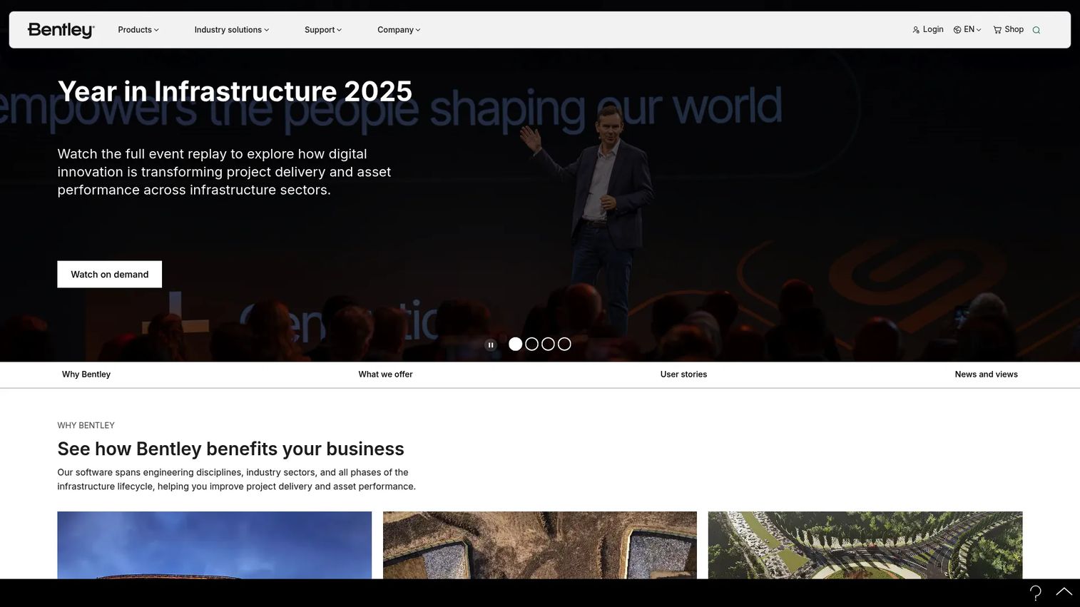
Bentley Systems is infrastructure engineering software built for designing, building, and operating infrastructure assets and their digital twins. Where general CAD ecosystems cover a wide range of design work, Bentley leans hard into infrastructure scale: transportation, water, energy, cities, and mining across the full asset lifecycle. It is a strong fit for large, complex projects where the model needs to live from design through operations.
Digital twins are a core part of the Bentley story. For infrastructure owners who need an asset to be modeled, monitored, and maintained over decades, that lifecycle view is the differentiator.
Best for: Infrastructure firms that need engineering design, digital twin, and asset lifecycle software at scale.
Key strengths
- Infrastructure engineering across disciplines: One environment covering transportation, water, energy, cities, and mining.
- Digital twin and data services: Model, monitor, and maintain infrastructure assets across their lifecycle.
- Industry solutions by sector: Purpose-built workflows for the specific infrastructure verticals a firm delivers.
Why choose Bentley Systems: If your projects are large-scale infrastructure that must be operated and maintained long after design, Bentley's lifecycle and digital twin focus fits the mission better than a pure authoring tool. It suits owners and large engineering firms working on connected, data-heavy infrastructure programs.
Bentley Systems pricing: Bentley does not publish dollar prices on its primary pricing page. It offers 12-month Virtuoso subscriptions, perpetual licenses with SELECT annual maintenance, and enterprise plans, with pricing arranged through sales. Expect the packaging to align with the scale of the infrastructure programs it serves.
5. Procore

Procore is construction management software for owners, general contractors, specialty contractors, and other project stakeholders. It sits on the delivery side of the civil stack rather than the authoring side. When the design is done and the priority shifts to building it, coordinating the field, managing budgets, and keeping stakeholders aligned, Procore is where that work lives. It covers analytics, bid management, budgets, BIM, contract management, and daily logs, with unlimited users and storage.
The distinction matters when you build a stack. Design software produces the model; construction management software manages the project that builds it. Procore owns that second half.
Best for: Construction teams that need a centralized project and financial management platform for delivery.
Key strengths
- Unlimited users and storage: Everyone on the project can participate without per-seat friction.
- Broad delivery toolset: Analytics, bid management, budgets, BIM, contract management, and daily logs in one place.
- Stakeholder coordination: Owners, GCs, and specialty contractors work from a shared project record.
Why choose Procore: If your challenge is project delivery and field execution rather than design authoring, Procore centralizes the coordination and financial management that keep civil projects on schedule. It fits firms where the pain is RFIs, submittals, and budget control, not corridor modeling. Procore holds a 4.6/5 rating on G2.
Procore pricing: Procore does not publish public prices. Pricing depends on the products you need and your annual construction volume, charged as an upfront annual fee by product based on annual construction value. You request a custom quote to get numbers for your scope.
6. Trimble
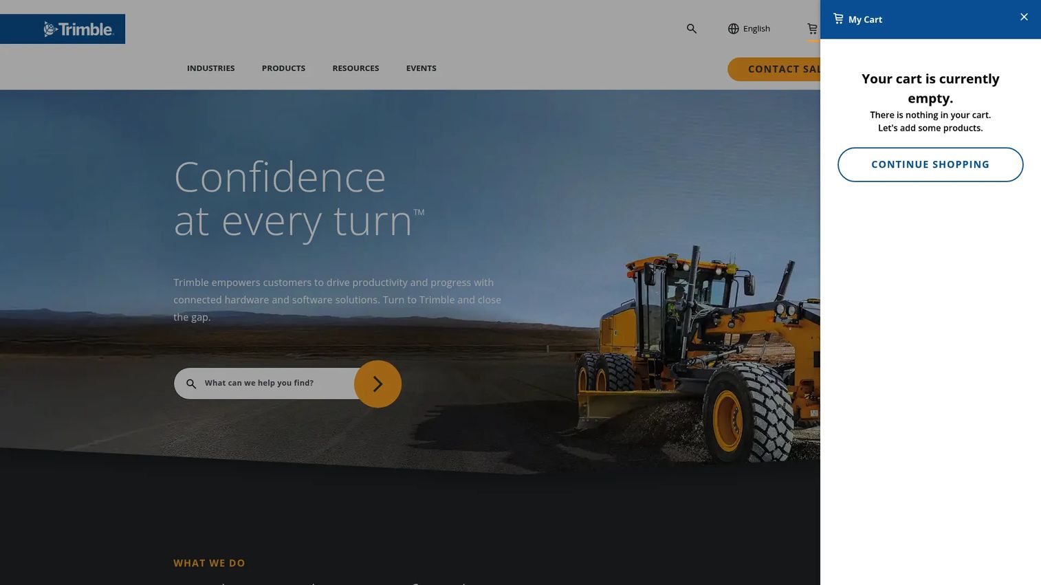
Trimble is a technology company providing connected hardware and software for construction, geospatial, and transportation work. Its differentiator in a civil stack is the field-to-office link: survey, precise positioning, 3D modeling, and project collaboration that connect what happens on site to what happens in the office. Trimble Connect handles the collaboration and data-sharing side, with BIM and 3D modeling workflows.
For teams where layout, capture, and site coordination are central, the combined hardware and software ecosystem is the draw. The design does not just stay in the model; it flows to the field and back.
Best for: Teams that need construction and project collaboration software with BIM and data-sharing across field and office.
Key strengths
- Connected construction collaboration: Trimble Connect keeps field and office teams working from shared project data.
- 3D modeling and BIM solutions: Model-based workflows that link design to site execution.
- Precise positioning and geospatial technology: Survey and layout accuracy that ties the model to the ground.
Why choose Trimble: If your workflow depends on tight field-to-office coordination, survey, and layout, Trimble's hardware-plus-software ecosystem covers ground pure design tools do not. It fits contractors and civil teams where getting the model onto the site accurately is the whole game. Trimble Connect holds a 4.4/5 rating on G2.
Trimble pricing: Trimble Connect offers a free Personal plan. Paid tiers include a $0 Trial, Pro at $149/user/year, and Innovate at $349/user/year, with custom volume pricing for teams of 30 or more. The free entry point makes it easy to start collaborating before committing budget.
7. Esri
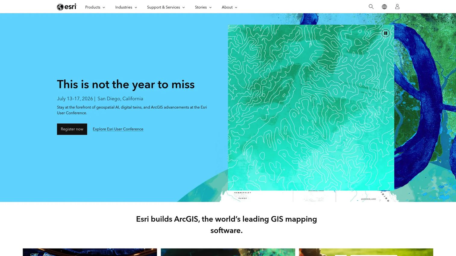
Esri is the geospatial software company behind ArcGIS, and it is how most civil teams bring GIS for civil engineering into their workflows. Spatial context, mapping, and asset data drive early planning decisions and give designs real-world grounding. Esri covers cloud-based ArcGIS Online mapping and analysis, 2D, 3D, and real-time visualization, and user types for collaboration, field data collection, and dashboards.
GIS is where the BIM and GIS workflow comes together. A model tells you what to build; GIS tells you where, in what context, and against what existing assets and constraints.
Best for: Organizations that need enterprise GIS, web mapping, and spatial analytics for planning and asset context.
Key strengths
- Cloud-based ArcGIS Online: Mapping and spatial analysis accessible across the organization.
- 2D, 3D, and real-time visualization: See infrastructure in geographic and temporal context.
- Flexible user types: Collaboration, field data collection, and dashboards matched to roles.
Why choose Esri: If your projects hinge on spatial context, planning, and asset management, Esri is the standard for GIS in civil engineering. It fits planning teams, utilities, and infrastructure owners who need to make decisions against real-world geography, not just a design file. Esri holds a 4.5/5 rating on G2.
Esri pricing: ArcGIS Online is sold through annual user type licenses. Esri's public price list shows the ArcGIS Online Professional Plus user type at $4,200.00 per year, with Creator and Professional options also available. There is no free public tier, though trials exist.
8. AutoCAD
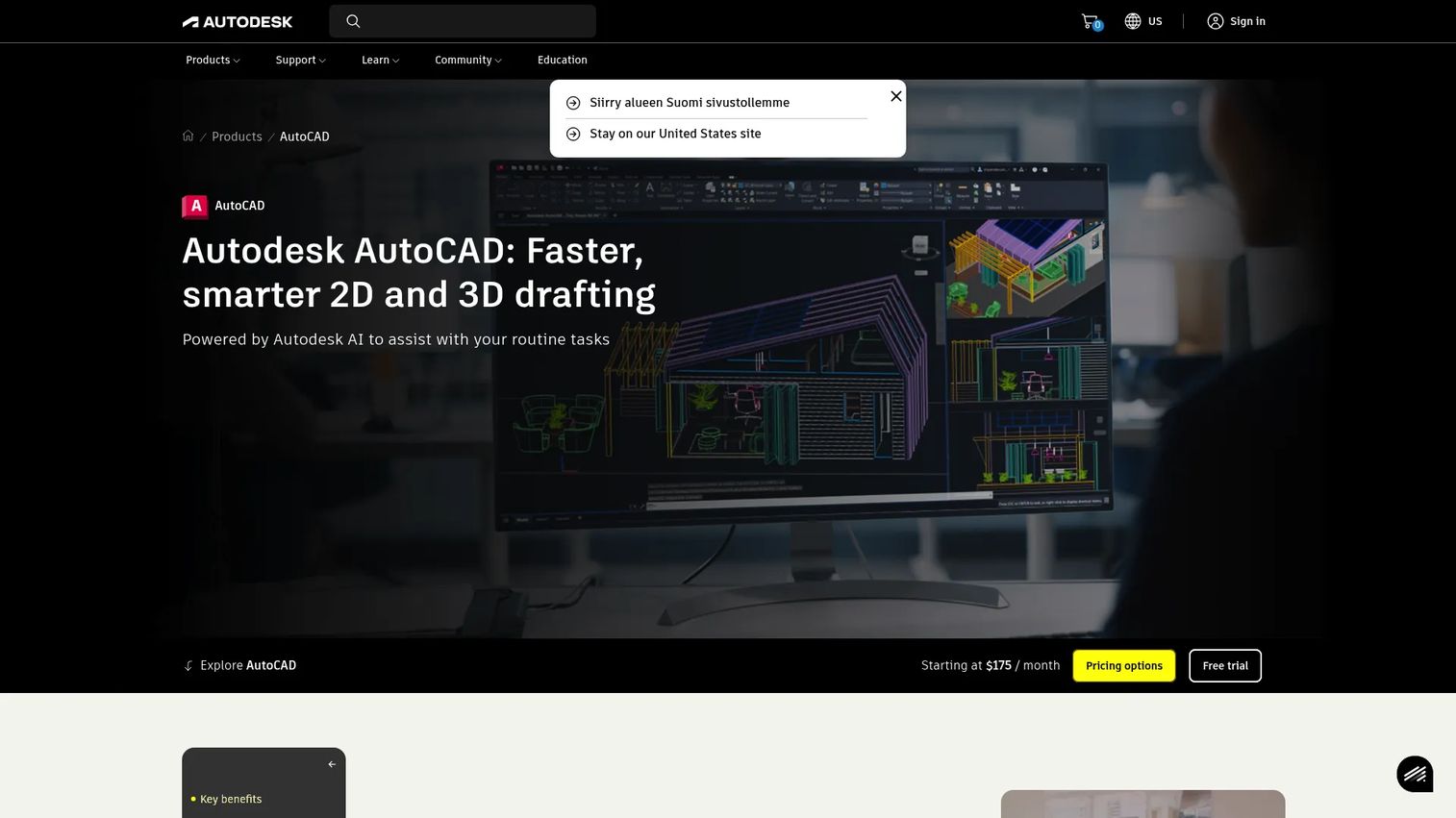
AutoCAD is the drafting foundation many civil teams still depend on. Even as BIM and model-based design take over coordination, 2D and 3D documentation, detailing, and drawing production run through AutoCAD. It is the baseline literacy of the profession, and its interoperability across the Autodesk ecosystem makes it a safe common denominator when files move between disciplines and firms.
In a modern civil stack, AutoCAD is less the star and more the reliable substrate. It handles the drafting and documentation that specialized and BIM tools hand off, and it keeps everyone speaking the same file format.
Best for: Civil teams that need dependable 2D and 3D CAD drafting and documentation.
Key strengths
- Industry-standard drafting: The CAD format and workflow the civil world already runs on.
- 2D and 3D documentation: Detailing, drawing production, and documentation that downstream tools rely on.
- Ecosystem interoperability: Clean file exchange across Autodesk products and external partners.
Why choose AutoCAD: If your team needs a drafting baseline that everyone knows and every partner can open, AutoCAD is the low-risk choice. It fits firms that want reliable documentation and interoperability while heavier design work happens in Civil 3D or specialized tools. AutoCAD holds a 4.4/5 rating on G2.
AutoCAD pricing: AutoCAD is $2,095/year on the Autodesk store, with AutoCAD LT at $540/year and AutoCAD Web at $100/year for lighter needs. A 30-day free trial is available, and Flex prepay tokens offer occasional-use access without a full subscription.
9. Civil 3D
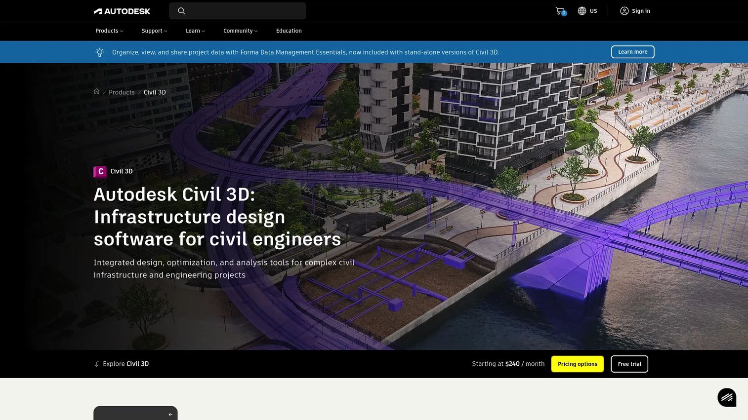
Civil 3D is the civil-specific design tool at the center of many infrastructure workflows. It is civil engineering CAD software for planning, designing, and documenting infrastructure in a 3D model-based environment, and it is where the discipline-specific work happens: site and survey workflows, terrain modeling, and corridor modeling for roads, rail, drainage, and utilities. If AutoCAD is the drafting baseline, Civil 3D is the civil design engine.
For transportation and site development teams, corridors, surfaces, and grading are daily work, and Civil 3D is purpose-built for them. It turns survey data into terrain, terrain into corridors, and corridors into documented, coordinated designs.
Best for: Civil engineers designing roads, rail, site, drainage, and utility projects in a model-based environment.
Key strengths
- Site and survey workflows: Bring survey data into a live, editable civil model.
- Terrain modeling: Build and analyze surfaces that drive grading and earthworks.
- Corridor modeling: Design roads, rail, and linear infrastructure with connected, updatable models.
Why choose Civil 3D: If your core work is transportation, site development, or linear infrastructure, Civil 3D is the discipline-specific authoring tool built for it. It fits design teams that need corridors, surfaces, and grading to update dynamically as the project changes. Civil 3D holds a 4.4/5 rating on G2.
Civil 3D pricing: Civil 3D is $275/month or $2,205/year as a standalone subscription. The AEC Collection, which bundles Civil 3D with other Autodesk AEC tools, runs $2,825/year. A 30-day free trial is available. There is no free tier beyond the trial and education access.
10. InfraWorks
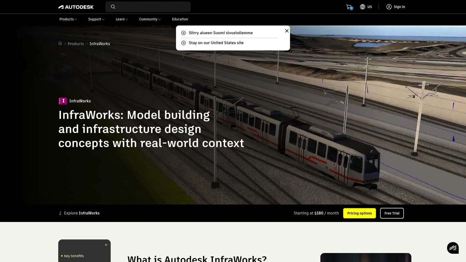
InfraWorks is Autodesk's conceptual design and BIM platform for planning, analyzing, and visualizing civil infrastructure in real-world context. It sits at the front of the process, before detailed design. Where Civil 3D produces the buildable model, InfraWorks helps teams model concepts, test scenarios, and align stakeholders early, when decisions are cheap to change. It builds context models from large data volumes and supports conceptual design for roadway, rail, transit, water, and bridge projects.
The value is in pre-design and stakeholder alignment. Built-in analysis tools for flood, watershed, traffic, mobility, and line-of-sight studies let teams evaluate options and communicate them visually before committing to detailed design.
Best for: Civil teams doing early-stage planning, conceptual design, and visualization with stakeholders.
Key strengths
- Context modeling from large data: Build real-world context models quickly from existing data.
- Conceptual multi-discipline design: Model early concepts for roadway, rail, transit, water, and bridges.
- Built-in analysis tools: Flood, watershed, traffic, mobility, and line-of-sight studies for early decisions.
Why choose InfraWorks: If your friction is early alignment, when stakeholders need to see and compare options before design starts, InfraWorks turns concepts into visual, analyzable models. It fits planners and civil teams that want to de-risk decisions upfront and communicate them clearly. InfraWorks holds a 4.2/5 rating on G2.
InfraWorks pricing: Autodesk offers InfraWorks with subscription options and a free 30-day trial, though it does not display a public numeric subscription price on its product pages. Pricing is confirmed through Autodesk's store or sales, and InfraWorks is also available within the AEC Collection.
Considerations before you buy
Discipline coverage
Start by mapping your projects to disciplines. A firm that runs roads, water, and structures through the same jobs needs a broad platform that coordinates them, while a team focused on one discipline may get more from a specialized tool. Decide between a suite and a point solution based on how often your work crosses discipline lines. Most firms end up with both: a broad backbone plus focused tools for the hard engineering.
Collaboration and shared data
Check exactly how teams share models, comments, approvals, and version history. Cloud collaboration for civil engineering is now table stakes, with 58% of AEC companies adopting cloud platforms per Business Research Insights. Verify that your candidates give distributed teams a real source of truth, not just file sharing. Ask how conflicts resolve, how versions track, and whether reviewers can comment in context.
Integration with existing stack
Map how each tool connects to your CAD, BIM, GIS, ERP, project management, and field systems. Integration depth drives adoption; a tool that forces manual re-entry or breaks file fidelity will stall. Confirm that a BIM and GIS workflow actually flows between your design and spatial tools, and that delivery platforms pull from the same data your designers produce.
Scalability and support
Weigh enterprise readiness, training, support, governance, and implementation burden. A tool that is powerful but unsupported often loses to a simpler one people actually adopt. This is where services partners and strong vendor training earn their keep, especially on large deployments where governance and consistency matter as much as raw capability.
Pricing and licensing
Understand subscription models, bundles, and enterprise packaging before you commit. Some vendors publish clear prices; others quote by project scope or construction volume. Public pricing clarity matters in a shortlist because it lets you compare like for like. When pricing is custom, get the drivers in writing: seats, volume, products, and contract terms.
Conclusion: picking your civil engineering software for 2026
The best civil engineering software for 2026 is not a single winner; it is the right combination for your disciplines and delivery model. Autodesk anchors most stacks with CAD and BIM breadth, and its Civil 3D, AutoCAD, and InfraWorks products cover design authoring from concept to documentation. SkyCiv handles structural analysis in the browser. Bentley Systems fits large-scale infrastructure and digital twins. On the delivery side, Procore owns construction management and Trimble links field to office. Esri brings the GIS and spatial context that grounds it all, and IMAGINiT helps Autodesk-standardized firms deploy and adopt.
Shortlist by discipline first, then pressure-test collaboration, integration, and support against how your team actually works. Run a real project through a trial before you commit, because the right civil engineering tools are the ones your engineers adopt and your projects deliver on. Match the pick to the workflow, not the brand name, and the stack will hold up under deadline.
FAQs
Civil engineering software is used to design, model, analyze, coordinate, and deliver infrastructure such as roads, bridges, water systems, and site developments. It covers everything from CAD drafting and BIM modeling to structural analysis, hydraulics, and construction management. Most firms use several tools together, matching each to a discipline or delivery stage.
The best choice depends on your role, model depth, and collaboration needs. Autodesk tools like Civil 3D and InfraWorks are strong for BIM authoring in civil design, while Bentley Systems fits large-scale infrastructure BIM and digital twins. Trimble Connect adds field-to-office BIM collaboration. Match the tool to how deep your models go and how many stakeholders coordinate on them.
Structural engineering software like SkyCiv handles analysis, load modeling, and code-compliant design. These specialized tools deliver deeper code support and analysis than general design platforms. Many teams pair a structural tool with a broader civil suite, using the focused product for the engineering and the platform for coordination and delivery.
Civil engineering software produces the design: models, drawings, analysis, and documentation. Construction management software like Procore manages building that design, covering budgets, RFIs, submittals, field coordination, and delivery. One is authoring; the other is delivery. A complete civil stack usually includes both, with clean handoffs between design and construction.
Teams need GIS for civil engineering when spatial context drives decisions, which is common in planning, utilities, transportation, and asset management. GIS tools like Esri's ArcGIS provide mapping, spatial analysis, and asset context that ground a design in real-world geography. If your projects hinge on where and against what existing conditions, GIS earns its place.
Start with discipline fit: map your projects to structural, water, transportation, geotechnical, and site workflows. Then evaluate collaboration and shared data, integration with your existing CAD, BIM, and GIS stack, pricing and licensing clarity, and support quality. Run a real project through a trial, and prioritize the civil software your engineers will actually adopt.