


The GIS software market hit $10.8 billion in 2025 and is projected to reach $12.35 billion in 2026, a 14.4% jump according to The Business Research Company. That growth reflects something most product teams already feel: Location data is no longer a specialty concern. Territory logic, delivery zones, service coverage, site selection, and spatial risk analysis are now standard product decisions.
But picking the wrong GIS tool creates hidden costs. The wrong choice means slow analysis, brittle data exports, stale map layers, engineering tickets piling up, and no clear owner when something breaks. A screenshot of a map does not answer a PM question. The real question is whether a tool helps a team collect, clean, analyze, visualize, and maintain spatial data without turning every update into a sprint item.
The GIS category spans desktop applications, cloud platforms, JavaScript libraries, spatial databases, statistical tools, and geocoding utilities. Choosing among them requires knowing which category solves your workflow first, then narrowing by cost, learning curve, and production requirements.
This guide covers all 21 tools across those categories with verified pricing, G2 ratings, and use-case framing built for product, operations, and data teams.
What's inside
This guide covers 21 GIS tools across desktop GIS, cloud GIS, interactive web mapping, statistical analysis, spatial databases, cartographic design, and geocoding. Items were selected and ranked based on:
- Workflow fit: Whether the tool matches the actual job, from analysis to publication to backend logic
- Cost and openness: Free, open-source, usage-based, or quote-based, with verified pricing
- Learning curve and adoption: From no-code collaborative tools to command-line specialist software
- Production readiness: Whether the tool scales from prototype to live product
This guide suits product managers, data analysts, GIS specialists, operations teams, and technical teams evaluating location-based infrastructure.
TL;DR
- Best enterprise GIS platform: ArcGIS or ArcGIS Enterprise, depending on whether you need cloud or self-hosted deployment
- Best open-source desktop GIS: QGIS, with strong format support, a plugin ecosystem, and no licensing cost
- Best for beginner-friendly mapping: Google Earth Pro for quick visual exploration, Felt for collaborative team maps
- Best for production web maps: Mapbox for design control and developer APIs, Leaflet for lightweight embedding, OpenLayers for complex layer requirements
- Best spatial database layer: PostGIS, free and integrated directly into PostgreSQL
- Best statistical spatial analysis: GeoDa for exploratory analysis, R for reproducible statistical modeling with spatial packages
What are GIS tools?
GIS tools are software applications, platforms, libraries, and databases used to collect, manage, analyze, visualize, and share geographic or location-based data.
A geographic information system connects location to attribute data. A map layer showing retail stores becomes analytically useful when you can join it to sales data, buffer it by drive time, cluster it by density, or intersect it with demographic boundaries. GIS tools are what make those operations possible.
The category is broad. It includes:
- GIS software: Full desktop or cloud applications for spatial analysis, cartography, and data management (ArcGIS, QGIS)
- Web GIS: Cloud-based platforms for publishing and sharing interactive maps (ArcGIS Online, Felt, CARTO)
- Spatial databases: Backend storage with spatial query support, usually PostgreSQL with the PostGIS extension
- JavaScript mapping libraries: Lightweight browser-based map rendering for product teams (Leaflet, OpenLayers)
- Developer platforms: APIs, SDKs, and styling tools for location experiences in production software (Mapbox)
- Statistical tools: Environments for spatial modeling and reproducible analysis (R, GeoDa)
- Cartographic design tools: Vector design software for polishing final map outputs (Adobe Illustrator)
- Geocoding tools: Services for converting addresses to coordinates and enriching location data (Geocodio)
Key capabilities to look for across these categories:
- Spatial data import, format conversion, and cleaning
- Coordinate system and projection support
- Layer styling, symbology, and cartography
- Geocoding and address matching
- Spatial joins, buffers, and proximity operations
- Raster and terrain analysis
- Web map publishing and embedding
- Access controls, permissions, and collaboration
- API and database integration
For product teams, the decision framework is not "most powerful" but "where does the work happen." Analysis, stakeholder collaboration, production web maps, backend spatial logic, and statistical modeling each pull toward a different tool category.
When to use GIS tools
Validate location-based product decisions
Use GIS tools when you need spatial evidence before committing engineering resources. Whether you're testing delivery zone boundaries, modeling service coverage, evaluating market expansion areas, or assessing location risk, GIS analysis answers those questions with data rather than gut feel. The opportunity cost of skipping this step is high: Shipping location logic built on assumptions is expensive to unwind.
Analyze spatial patterns before building features
Spatial analysis tools help teams find clusters, measure accessibility, calculate proximity, define catchment areas, and correlate location with user behavior or demographics. Running this analysis before feature development ensures the logic reflects how users actually distribute across geography, not how the team imagined they would.
Publish maps for customers, teams, or stakeholders
There is a meaningful difference between a prototype map and production map infrastructure. Internal dashboards, public-facing embedded maps, operational views, and research maps all require different hosting, styling, and maintenance approaches. Choosing the right tool at this stage determines your update cadence, tile costs, API dependencies, and who owns the layer when the product changes.
GIS tools comparison
The table below covers all 21 tools in the order they appear in the article. Pricing and G2 ratings reflect verified sources as of October 2026. Use N/A where no reliable G2 listing exists for that product.
| # | Product | Best for | Key differentiator | Pricing | G2 rating |
|---|---|---|---|---|---|
| 1 | ArcGIS | Enterprise GIS teams | Full platform: Mapping, analytics, data, apps | Free tier; support from $2,500/yr | 4.5/5 |
| 2 | ArcGIS Online | Cloud GIS collaboration | Hosted maps, dashboards, and field apps | Quote-based annual licenses | N/A |
| 3 | ArcGIS Enterprise | Private GIS deployment | Self-hosted portal with enterprise identity | Quote-based (contact Esri) | 4.4/5 |
| 4 | ArcGIS Pro | Desktop GIS specialists | Advanced geoprocessing and 3D analysis | Included with ArcGIS user license | 4.3/5 |
| 5 | QGIS | Open-source desktop GIS | Free, plugin-rich, broad format support | Free and open source | 4.5/5 |
| 6 | Google Earth Pro | Visual geographic exploration | 3D globe, historical imagery, KML support | Free | 4.6/5 |
| 7 | GRASS GIS | Advanced terrain and raster modeling | Scientific geospatial processing | Free and open source | 4.2/5 |
| 8 | Felt | Collaborative web mapping | Browser-based, real-time team mapping | Free plan; paid from $199/mo | 4.9/5 |
| 9 | GeoDa | Spatial statistics and clustering | Exploratory spatial data analysis | Free | N/A |
| 10 | Adobe Illustrator | Final map design and polish | Vector precision for publication-ready maps | From $22.99/mo | 4.6/5 |
| 11 | Adobe Photoshop | Raster map imagery editing | Image correction and compositing for maps | From $19.99/mo | N/A |
| 12 | R | Reproducible spatial analysis | Statistical computing with spatial packages | Free and open source | N/A |
| 13 | Leaflet | Lightweight web map embedding | Open-source JavaScript library, mobile-ready | Free and open source | 4.3/5 |
| 14 | Mapbox | Production location experiences | Custom styling, APIs, SDKs, usage-based pricing | Free tier; usage-based | 4.3/5 |
| 15 | OpenLayers | Complex browser-based GIS apps | Advanced projection and layer handling | Free and open source | 4.3/5 |
| 16 | PostGIS | Spatial database queries | Spatial SQL inside PostgreSQL | Free and open source | 4.6/5 |
| 17 | CARTO | Cloud spatial analytics | Warehouse-native analysis and location intelligence | Quote-based; 30-day trial | N/A |
| 18 | MapInfo Pro | Established desktop GIS workflows | Business geographics and location intelligence | Quote-based subscription | 4.1/5 |
| 19 | Global Mapper | Format-heavy terrain and LiDAR work | 300+ format support, one-time license | From $700 one-time | 4.3/5 |
| 20 | WhiteboxTools | Terrain, hydrology, and raster analysis | 700+ analysis tools across Python, R, QGIS | Free open tier; paid from $520/yr | N/A |
| 21 | Geocodio | Address geocoding and enrichment | Batch geocoding with Census and political data | Free up to 2,500 lookups/day; $1/1k after | 4.5/5 |
Best 21 GIS software and mapping tools for 2026
1. ArcGIS
ArcGIS is Esri's broad geospatial platform covering 2D and 3D mapping, spatial analytics, geospatial data hosting, geocoding, routing, and web application creation. It spans multiple products, including desktop software, cloud services, an enterprise server stack, mobile tools, and developer components. For product teams, it functions as a full-cycle GIS infrastructure when the organization already employs GIS specialists, manages regulated spatial data, or coordinates mapping across departments.
Best for: Enterprise teams that need a mature, governance-ready GIS platform with analysis, publishing, and organizational collaboration built in.
Key features
- Enterprise GIS platform covering 2D and 3D mapping
- Spatial analysis, geocoding, and routing
- Cloud-hosted data management and secure sharing
- Web map and scene creation with dashboards
- Industry-specific GIS applications and field data tools
Why choose ArcGIS: Choose ArcGIS when GIS is infrastructure, not a side project. It fits organizations that need depth, cross-department standards, and long-term geospatial capability rather than a one-off map.
ArcGIS pricing: The ArcGIS Location Platform offers free usage allowances for multiple services, with usage-based charges beyond those allowances. Technical support runs $2,500 per year. ArcGIS Online and ArcGIS Pro licenses are sold through annual user-type subscriptions; Esri does not post numeric prices publicly, so contact Esri Sales for current rates.
G2 rating: 4.5/5
2. ArcGIS Online
ArcGIS Online is Esri's cloud-based web GIS for creating, sharing, and managing interactive maps, dashboards, and spatial applications without requiring a desktop GIS install. It supports hosted layers, collaborative editing, no-code web app creation, offline field data collection, and Python-based automation. For product teams, it's useful when stakeholders need live map access and you want to avoid distributing desktop software.
Best for: Teams that need cloud-hosted, shareable maps and dashboards for stakeholder collaboration without desktop GIS dependencies.
Key features
- 2D and 3D mapping with hosted layer sharing
- No-code web app and dashboard creation
- Offline field data collection and synchronization
- Spatial analysis and routing services
- Python, webhooks, and data pipeline support
Why choose ArcGIS Online: Use it when sharing speed and non-specialist access matter more than deep desktop analysis. It reduces the friction of getting spatial data in front of decision-makers who won't open desktop GIS.
ArcGIS Online pricing: Esri sells ArcGIS Online through annual user-type licenses: Creator, Professional, Professional Plus, Mobile Worker, Contributor, and Viewer. A 21-day free trial is available. Numeric prices are not posted on the Esri pricing page; contact Esri Sales for current rates by user type.
G2 rating: N/A
3. ArcGIS Enterprise
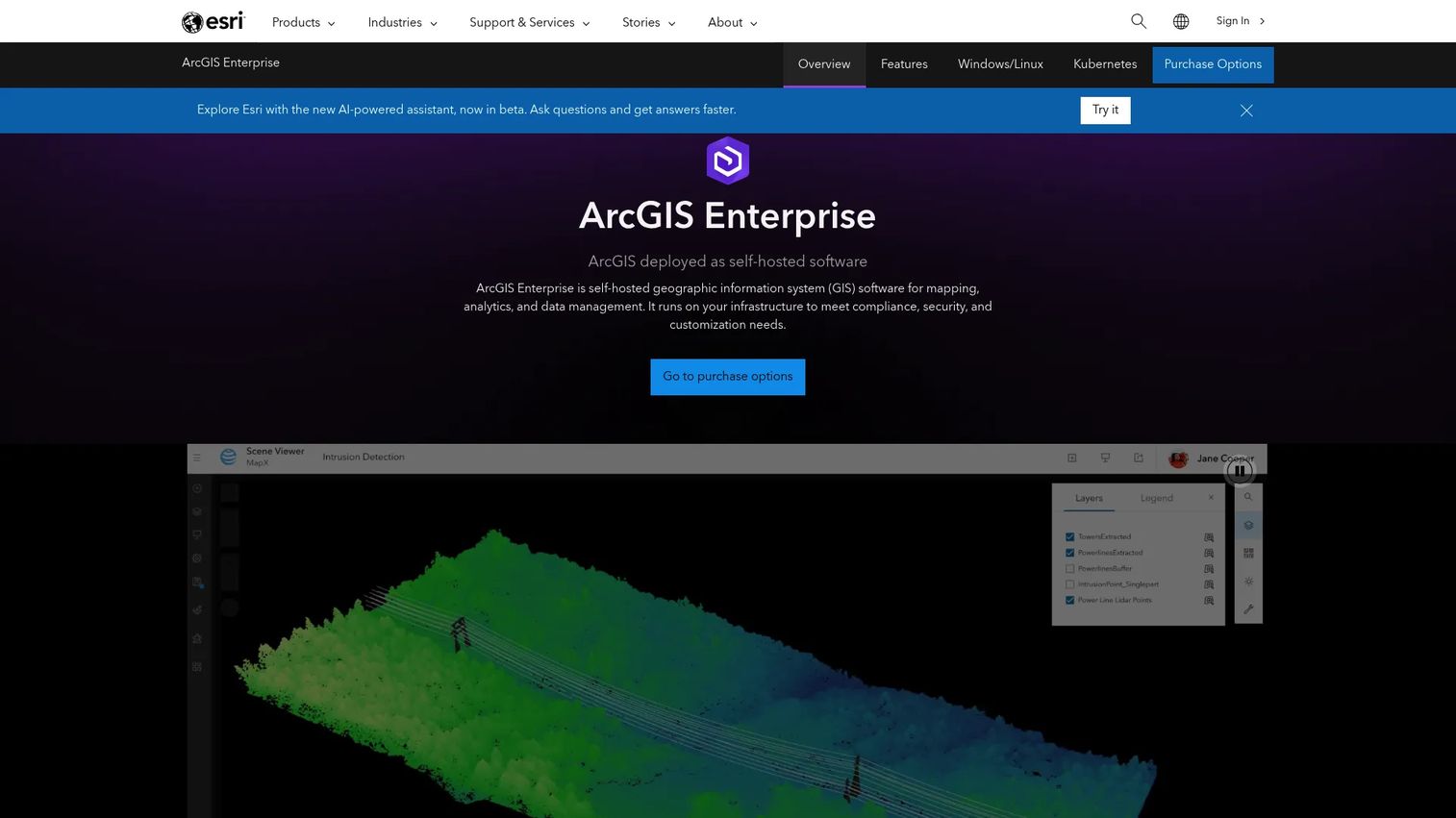
ArcGIS Enterprise is a self-hosted deployment of ArcGIS capabilities, running on Windows, Linux, Kubernetes, or private and public cloud environments. It includes a web portal, server components, data hosting, enterprise identity integration, and advanced administration. It ships with ArcGIS Pro, Dashboards, Field Maps, and Experience Builder. For teams in regulated industries or those with strict data residency requirements, it puts the full ArcGIS stack inside controlled infrastructure.
Best for: Government agencies, utilities, transportation organizations, and enterprises that require GIS inside their own security perimeter and identity systems.
Key features
- Self-hosted portal and server stack (Windows, Linux, Kubernetes, cloud)
- Enterprise identity and SSO support
- Hosted spatial data services and advanced administration
- Included apps: ArcGIS Pro, Dashboards, Field Maps, Experience Builder
- Real-time and big data spatial analytics
Why choose ArcGIS Enterprise: Choose it when spatial data governance is non-negotiable. It fits teams where data cannot leave controlled infrastructure and where GIS connects to internal systems through a secure portal.
ArcGIS Enterprise pricing: Esri offers Standard, Advanced, and Kubernetes deployment options, each licensed annually through Esri Sales. No public numeric price appears on the official pricing page. Contact Esri Sales directly for current rates.
G2 rating: 4.4/5
4. ArcGIS Pro
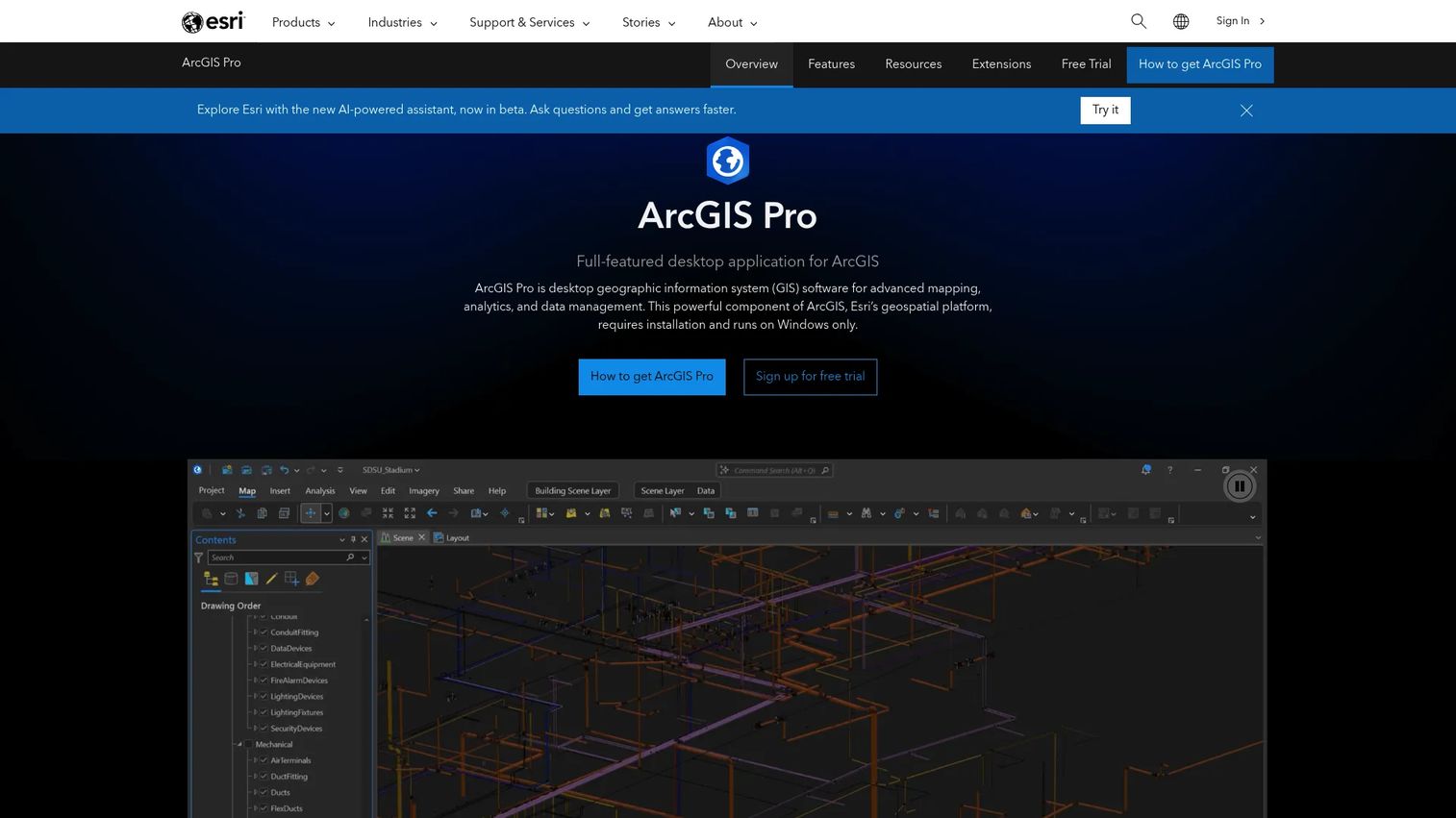
ArcGIS Pro is Esri's professional desktop GIS application for advanced 2D and 3D mapping, geoprocessing, spatial editing, predictive analytics, and publishing to ArcGIS. It supports ModelBuilder workflows, Python via ArcPy, Jupyter Notebooks, imagery analysis, and multiuser editing. For product teams, it's a specialist tool: Analysts run the complex spatial work here, then publish outputs to dashboards or web maps where broader teams can access results.
Best for: GIS analysts who need advanced desktop geoprocessing, 3D visualization, spatial editing, and ArcGIS-connected publishing workflows.
Key features
- Advanced 2D and 3D mapping and cartographic design
- Desktop geoprocessing, ModelBuilder, and ArcPy scripting
- Spatial editing, validation, and multiuser workflows
- Imagery, raster analysis, and GeoAI tools
- Publishing directly to ArcGIS Online or Enterprise
Why choose ArcGIS Pro: Choose ArcGIS Pro when analysis depth matters and the team includes GIS specialists. It's a stronger fit than lightweight web mapping when geoprocessing complexity, data editing, or 3D visualization are central to the workflow.
ArcGIS Pro pricing: ArcGIS Pro is accessed through ArcGIS Online or ArcGIS Enterprise user-type licenses. Creator includes ArcGIS Pro Basic, Professional includes Standard, and Professional Plus includes Advanced. Esri does not display numeric prices publicly; contact Esri Sales for current user-type rates.
G2 rating: 4.3/5
5. QGIS
QGIS is the leading open-source desktop GIS, free under the GNU GPLv2+ license and actively maintained by a global contributor community. It handles vector and raster data, cartography, spatial analysis, layer editing, geoprocessing, and OGC web services. Its plugin ecosystem extends the core with hundreds of community-built tools, and QGIS Server lets teams publish spatial services without additional licensing cost. For product teams, it's the most practical way to validate GIS workflows before committing to paid platforms.
Best for: Teams that need capable desktop GIS analysis and cartography without licensing cost, including analysts, researchers, and public-sector organizations.
Key features
- Open-source desktop GIS under GNU GPLv2+
- Vector, raster, mesh, database, and OGC web-service support
- Geoprocessing toolbox and plugin ecosystem
- Professional cartography and map design
- QGIS Server for spatial service publishing
Why choose QGIS: Choose QGIS when budget and format flexibility are primary constraints. Expect a meaningful learning curve for new GIS users, but the capability depth matches commercial alternatives for most analytical workflows.
QGIS pricing: Free and open source with no paid tiers or licensing fees.
G2 rating: 4.5/5
6. Google Earth Pro
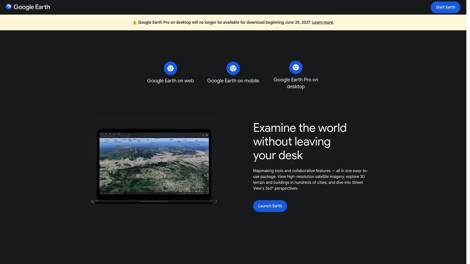
Google Earth Pro is a free desktop tool for geographic exploration, historical imagery review, KML and KMZ visualization, 3D terrain viewing, and basic distance measurement. It is not a full GIS analysis platform, but it is fast and accessible for teams that need to inspect places, review site options, visualize routes, or discuss geography visually before deeper analysis begins.
Best for: Fast visual exploration of locations, sites, terrain, and simple geographic overlays without installing a full GIS application.
Key features
- 3D globe with high-resolution satellite imagery
- Historical imagery for temporal comparison
- KML and KMZ import and visualization
- Distance and area measurement tools
- Basic GIS data import and export
Why choose Google Earth Pro: Use it as a low-friction way to build shared geographic understanding across a team before GIS analysis begins. It helps stakeholders align on a place without needing any GIS training.
Google Earth Pro pricing: The desktop version is free. Google also offers paid professional web plans starting at $75 per user per month for additional capabilities.
G2 rating: 4.6/5
7. GRASS GIS
GRASS GIS is a free, open-source geospatial processing platform with deep capabilities in raster analysis, vector processing, terrain and hydrology modeling, satellite and aerial imagery processing, and temporal data analysis. It supports command-line, graphical, Python, and Jupyter interfaces. Originally developed for the US Army Corps of Engineers, it remains a go-to tool for scientific GIS, environmental modeling, and research workflows.
Best for: Advanced spatial modeling, raster processing, terrain analysis, and scientific GIS workflows where analytical depth outweighs onboarding speed.
Key features
- Raster, vector, and 3D raster processing
- Terrain, hydrology, and slope analysis
- Satellite and aerial imagery processing
- Temporal raster and vector time-series support
- Python scripting and Jupyter integration
Why choose GRASS GIS: Choose GRASS GIS when your team has GIS expertise and needs rigorous analytical tools for terrain, hydrology, or environmental modeling. It rewards specialists but has a steep initial setup for generalists.
GRASS GIS pricing: Free and open source under the GNU GPL. No paid tiers.
G2 rating: 4.2/5
8. Felt
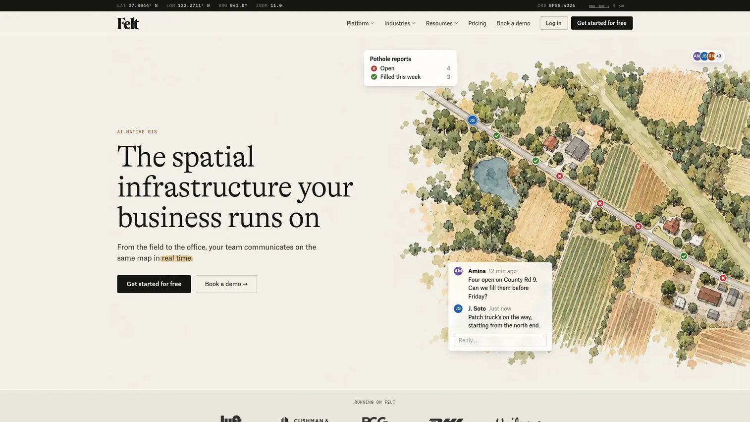
Felt is an AI-native, collaborative, browser-based GIS platform for creating, analyzing, and sharing interactive maps and dashboards without any desktop software. Teams edit maps simultaneously, upload data from cloud or database sources, run spatial analysis, geocode addresses, and build embeddable dashboards. It connects to live data sources and offers a REST API and JavaScript SDK for developers. For product, operations, and planning teams, it's the fastest path from spatial question to shared visual answer.
Best for: Product, operations, and planning teams that need real-time collaborative maps and spatial analysis without a GIS department, and those exploring data visualization tools beyond static charts.
Key features
- Real-time collaborative web map editing
- Spatial analysis, geocoding, and drive-time calculations
- Live data connections to cloud, database, and GIS sources
- Embeddable dashboards and REST API access
- Field data collection and team sharing controls
Why choose Felt: Choose Felt when speed of collaboration matters more than analytical depth. It's ideal for review cycles, planning discussions, and stakeholder alignment where the team needs to discuss geography without requiring GIS training.
Felt pricing: Free plan includes map creation, annotation, real-time collaboration, and 10,000 monthly views. Team plans start at $199 per month billed annually ($249 monthly). Business plans start at $599 per month annually. Enterprise plans start from $1,250 per month, billed yearly.
G2 rating: 4.9/5
9. GeoDa
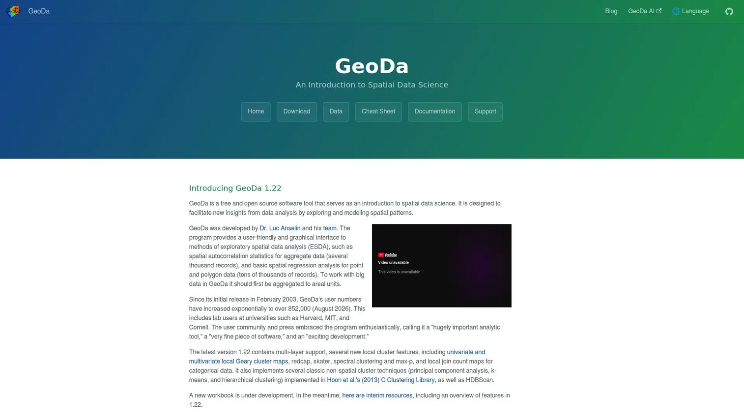
GeoDa is a free, open-source spatial data science tool focused on exploratory spatial data analysis, spatial autocorrelation, spatial regression, and multi-method clustering. Developed at the University of Chicago's Center for Spatial Data Science, it connects maps and charts dynamically, so selecting a cluster on a scatterplot highlights the same features on the map. It supports shapefiles, GeoJSON, geodatabases, and other GDAL-supported vector formats.
Best for: Researchers, urban planners, and analysts who need statistical evidence from spatial data before making location-based decisions.
Key features
- Spatial autocorrelation and Moran's I statistics
- Cluster analysis: K-means, hierarchical, HDBScan
- Spatial regression and lag models
- Linked interactive maps and charts
- PCA and non-spatial multivariate analysis
Why choose GeoDa: Choose GeoDa when you need to answer statistical questions about spatial patterns rather than publish a polished map. It pairs well with GIS tools that handle data preparation and final visualization, and connects naturally to big data analytics software workflows.
GeoDa pricing: Free and open source under the GPL v3.0 license.
G2 rating: N/A
10. Adobe Illustrator

Adobe Illustrator is a vector graphics application used in GIS workflows as a cartographic finishing layer. Once spatial analysis is complete and a map is exported from QGIS, ArcGIS, or another GIS platform, Illustrator handles typography control, legend design, layout precision, and brand styling for reports, policy documents, pitch decks, and publications. It supports SVG and PDF export for print-ready and web-ready outputs.
Best for: Teams that need publication-quality, executive-ready map graphics after GIS analysis is complete.
Key features
- Scalable vector design and editing
- Typography control and font management
- Precise layout for multi-element map compositions
- SVG and PDF export for print and web
- Image Trace for converting raster elements to vectors
Why choose Adobe Illustrator: Choose Illustrator when the analysis is finished and the map needs to persuade. It is a design layer over GIS outputs, not a place to run spatial logic.
Adobe Illustrator pricing: Individual plan is $22.99 per month billed annually. Creative Cloud Pro runs $69.99 per month (promotional rate of $34.99 for qualifying new subscribers). Team plans start at $37.99 per user per month annually. A 7-day free trial is available.
G2 rating: 4.6/5
11. Adobe Photoshop
Adobe Photoshop supports GIS workflows at the image editing stage: Raster cleanup, aerial and satellite imagery correction, map screenshot compositing, and presentation graphics. It does not replace GIS software. Its role is downstream of analysis, when exported raster maps or imagery need image-level refinement before embedding in reports or stakeholder presentations.
Best for: Teams polishing raster imagery, map screenshots, or aerial photo composites for presentations and publications.
Key features
- Raster editing and image correction
- Layer masks and adjustment layers
- Subject selection and background removal
- AI-powered Generative Fill and Remove Tool
- Export presets for web and print
Why choose Adobe Photoshop: Choose Photoshop when a map's raster imagery needs cleanup or compositing that goes beyond what GIS software handles natively. Keep GIS software for data logic and spatial analysis.
Adobe Photoshop pricing: The Photography plan (Photoshop plus Lightroom) starts at $19.99 per month billed annually. Photoshop alone is $22.99 per month. Team plans start at $37.99 per user per month. A 7-day free trial and a free mobile app are available.
G2 rating: N/A
12. R
R is a free, open-source statistical computing language with a strong ecosystem of spatial packages including sf for vector data, terra for raster analysis, tmap for map visualization, spdep for spatial dependence modeling, and stars for spatiotemporal data. For data teams, R makes spatial analysis reproducible, inspectable, and directly connected to statistical modeling and experimentation pipelines.
Best for: Data teams that need reproducible spatial analysis tightly integrated with statistical modeling, A/B experiments, or instrumentation pipelines.
Key features
- Spatial packages: Sf, terra, tmap, spdep, stars
- Reproducible analysis scripts and RMarkdown reporting
- Statistical modeling: Linear, nonlinear, time-series, clustering
- Map visualization and export
- Interfaces to C, C++, and Fortran for performance-critical work
Why choose R: Choose R when spatial analysis must be repeatable, peer-reviewable, and connected to the rest of a statistical workflow. It's a stronger fit for data engineering teams than for casual map builders.
R pricing: Free and open source under the GNU General Public License.
G2 rating: N/A
13. Leaflet
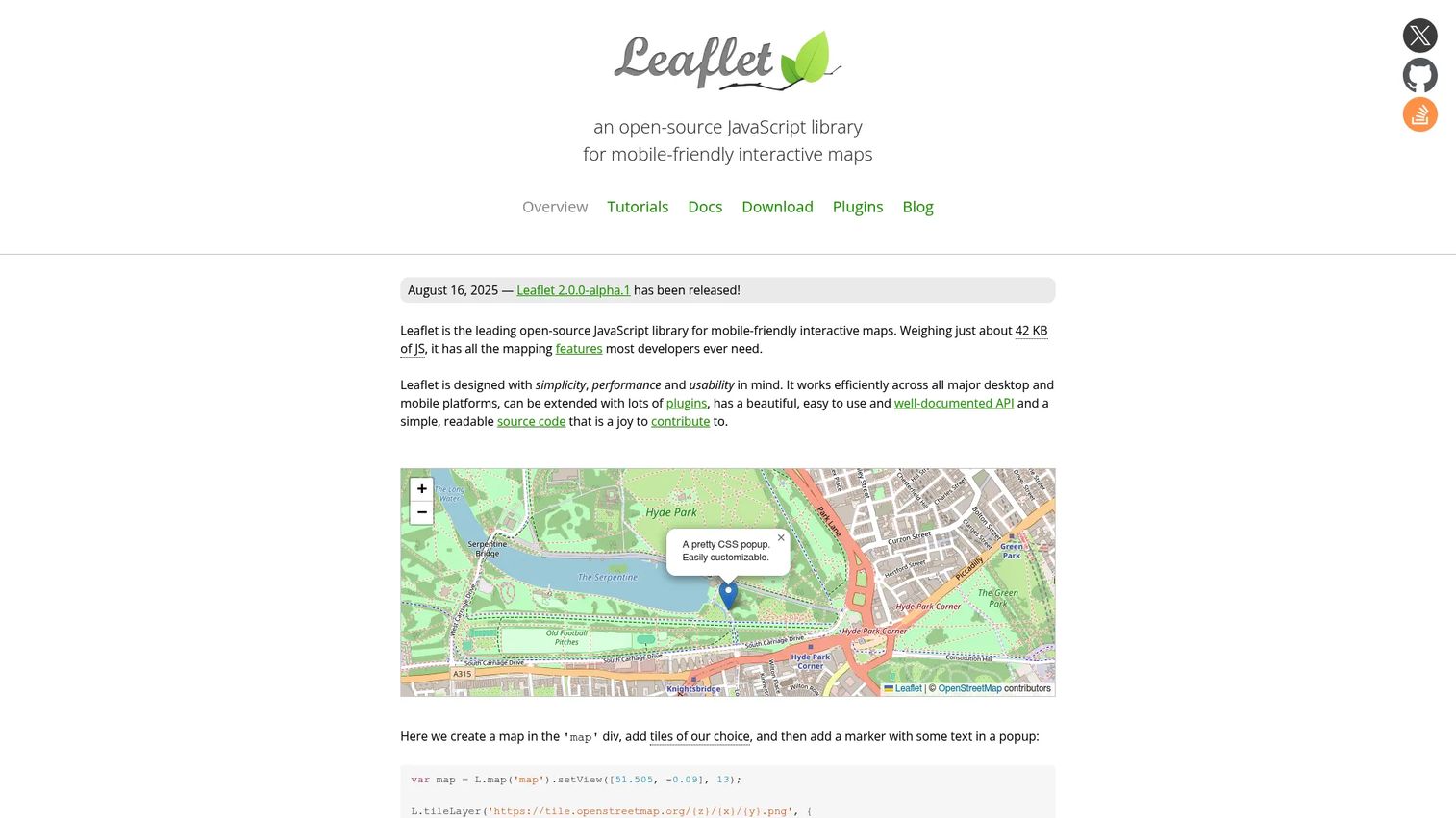
Leaflet is a lightweight, open-source JavaScript library for building interactive web maps. At around 42 KB of JavaScript, it renders tile layers, markers, popups, GeoJSON, and vector layers without a heavy dependency stack. It supports mobile touch interactions, custom controls, and a broad plugin ecosystem. For engineering teams, it gives precise control over the map experience without requiring a managed platform or usage-based billing.
Best for: Engineering teams embedding interactive, custom web maps directly into a product without a full GIS platform or API dependency.
Key features
- Tile layers, WMS, and GeoJSON rendering
- Markers, popups, and custom vector layers
- Mobile-friendly touch interactions
- Extensible plugin ecosystem
- Custom map projections and controls
Why choose Leaflet: Choose Leaflet when your maps need to live inside your product and your team values control over a managed service. Map tile hosting or external data providers may add cost depending on the basemap provider you select.
Leaflet pricing: Free and open source. Tile hosting and basemap data services are priced separately by provider.
G2 rating: 4.3/5
14. Mapbox
Mapbox is a developer-focused location platform covering custom map styling, geocoding, navigation, routing, and location intelligence. It provides Mapbox GL JS for web maps, mobile SDKs for iOS and Android, Mapbox Studio for visual style editing, and APIs for directions, search, and geospatial data management. For product teams building location experiences into consumer or B2B software, it offers design control and API depth that open-source libraries don't provide out of the box.
Best for: Product and engineering teams building custom, production-grade location experiences in web or mobile software where design and developer APIs matter.
Key features
- Custom map styling with Mapbox Studio
- Mapbox GL JS for interactive web maps
- iOS and Android mobile SDKs
- Geocoding, search, and navigation APIs
- Usage-based pricing with volume discounts
Why choose Mapbox: Choose Mapbox when maps are part of the user-facing product, not just internal analysis. The usage-based model scales with product growth, and the API surface gives engineers flexibility that generic tile providers don't match.
Mapbox pricing: Free tier covers 50,000 monthly map loads with Mapbox GL JS, and 100,000 monthly Directions API requests. Beyond free limits, map loads run $5.00 per 1,000 and Directions API requests run $2.00 per 1,000. Volume discounts and annual commitments reduce rates further.
G2 rating: 4.3/5
15. OpenLayers
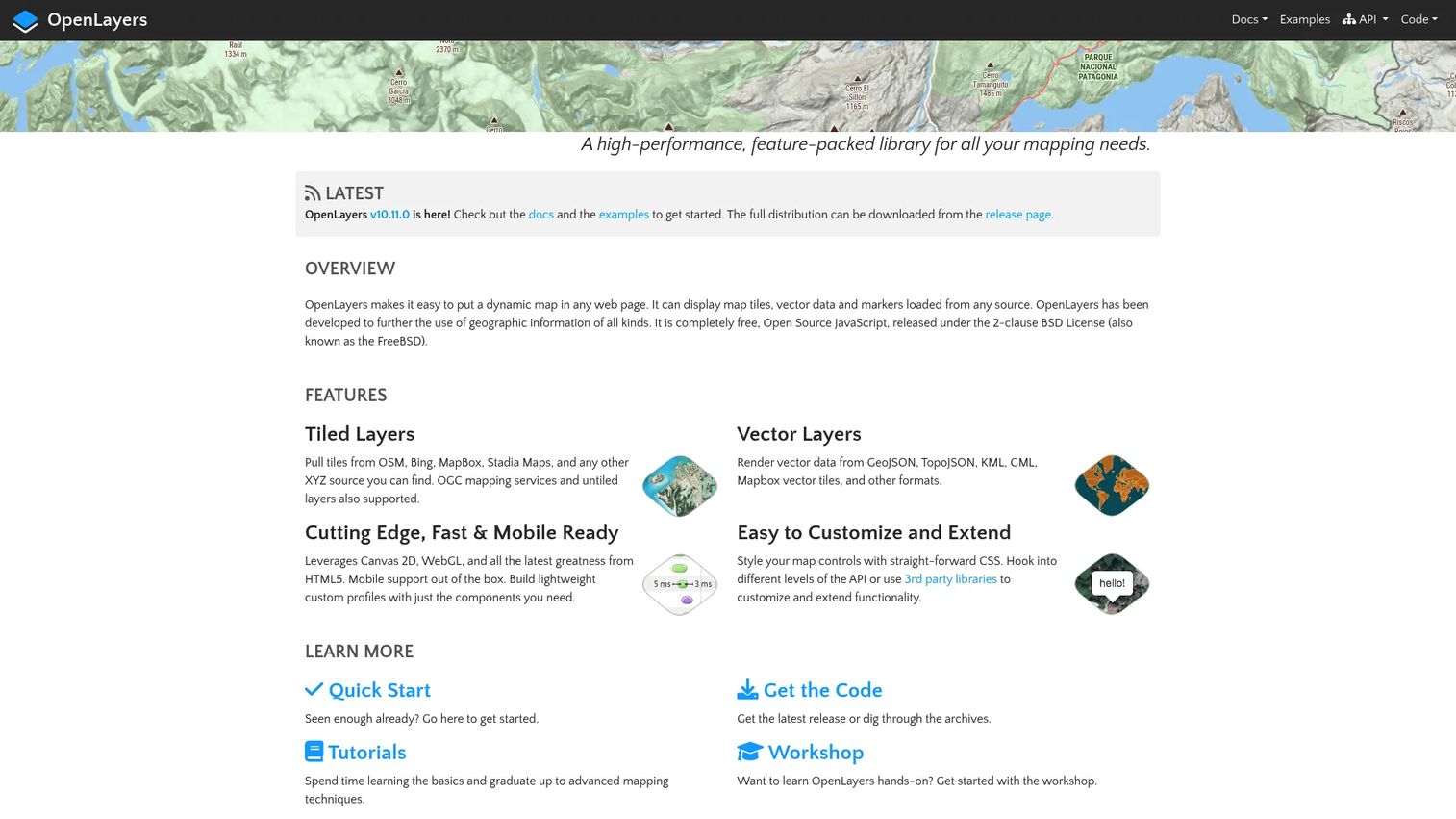
OpenLayers is an open-source JavaScript library for advanced browser-based mapping, released under the 2-clause BSD License. It handles tiled and image map layers from OSM, Bing, Mapbox, and WMS or WMTS sources, renders GeoJSON, TopoJSON, KML, and Mapbox vector tiles, and supports Canvas 2D and WebGL rendering with advanced projection handling. Compared to Leaflet, OpenLayers is better suited for applications with complex layer requirements, coordinate transformations, or richer GIS behavior in the browser.
Best for: Technical teams building complex, browser-based GIS applications that require advanced projection handling, vector tile rendering, or rich layer controls.
Key features
- Tiled and image layer support from OSM, Bing, WMS, WMTS
- GeoJSON, TopoJSON, KML, GML, and vector tile rendering
- Canvas 2D and WebGL rendering
- Advanced map projections and coordinate transformations
- Drawing and feature modification interactions
Why choose OpenLayers: Choose OpenLayers when the web map application needs richer GIS behavior than a lightweight library provides. It suits teams with engineering capacity and complex geospatial layer requirements.
OpenLayers pricing: Free and open source. Hosting, basemap data, and tile services are priced by provider.
G2 rating: 4.3/5
16. PostGIS
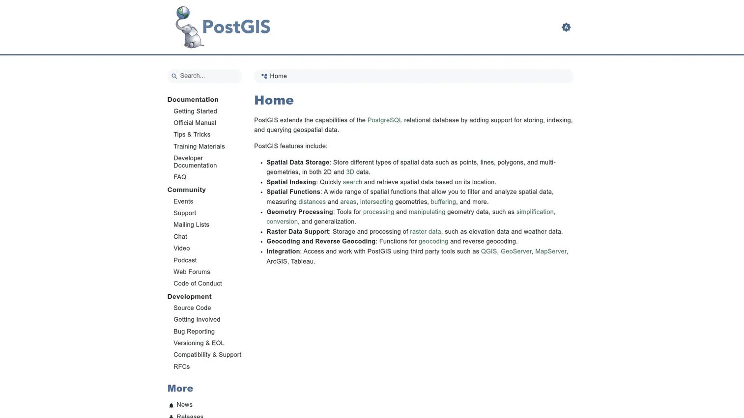
PostGIS is an open-source extension for PostgreSQL that adds geometric and geographic data types, spatial indexing using GiST, spatial SQL functions, raster data support, topology handling, and geocoding capabilities. It turns a standard relational database into a fully queryable spatial data store. For engineering and data teams, it means location logic lives inside the database layer rather than in application code or a separate GIS system.
Best for: Engineering and data teams who need spatial queries, joins, and analysis running at the database layer inside a PostgreSQL environment.
Key features
- Geometry and geography spatial data types
- GiST-based spatial indexing for fast queries
- Spatial SQL functions: Buffers, intersections, distance, area
- Raster data storage and processing
- Geocoding and reverse geocoding within the database
Why choose PostGIS: Choose PostGIS when location logic belongs in the backend. It keeps spatial data queryable, testable, and connected to production systems without exporting to a separate GIS application. Managed PostgreSQL hosting costs depend on your cloud provider.
PostGIS pricing: Free and open source. Managed hosting through cloud providers such as AWS RDS, Google Cloud SQL, or Azure Database for PostgreSQL is priced separately by the provider.
G2 rating: 4.6/5
17. CARTO
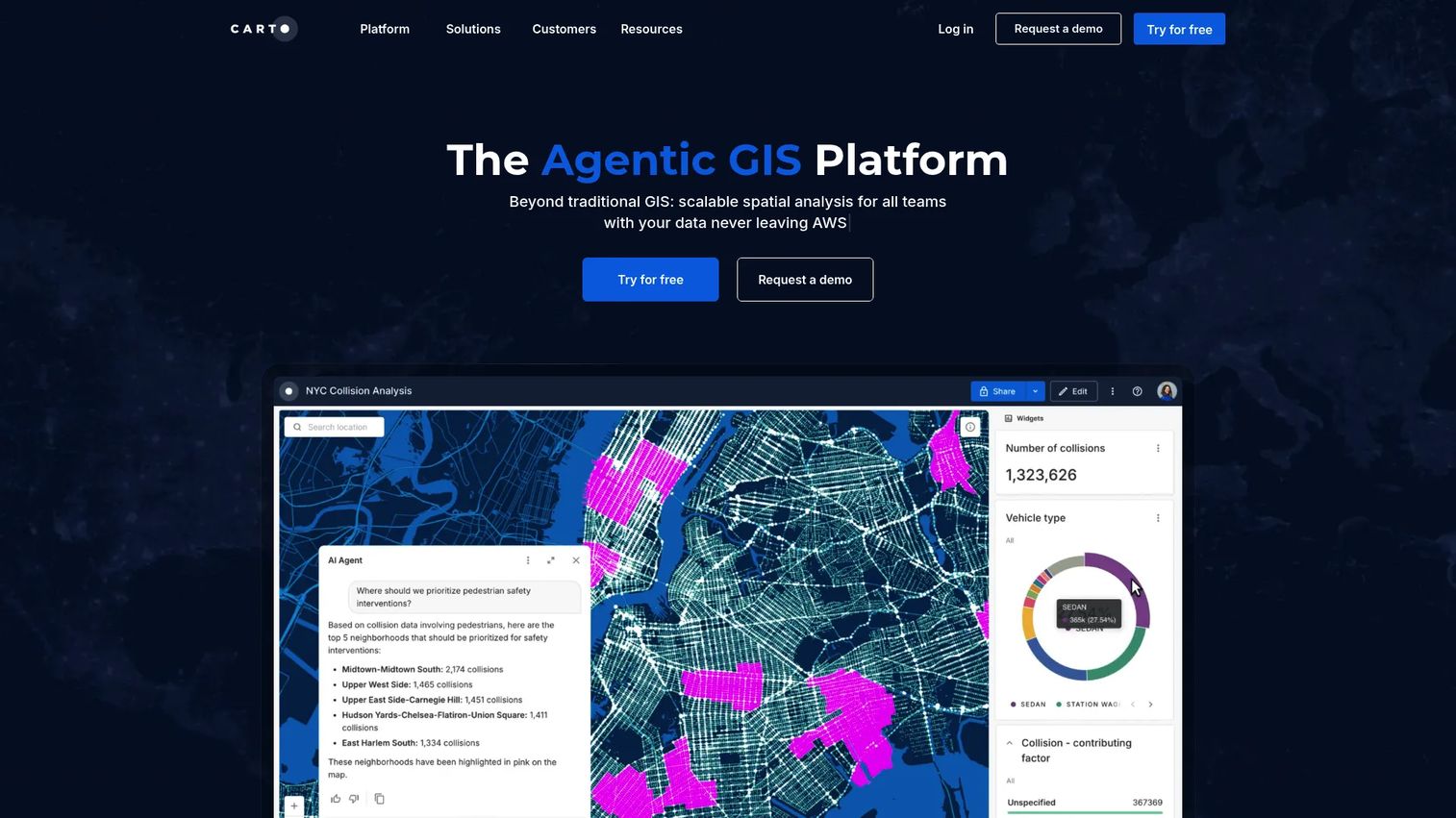
CARTO is a cloud-native spatial analytics and location intelligence platform that runs analysis directly inside cloud data warehouses including BigQuery, Snowflake, Redshift, and Databricks. It includes AI agents for natural-language geospatial queries, CARTO Builder for interactive maps and dashboards, spatial data enrichment through the CARTO Data Observatory, and no-code spatial workflow tools. For data-driven teams already operating a modern data stack, it removes the need to move spatial data out of the warehouse for analysis.
Best for: Data and analytics teams building spatial analytics and location intelligence workflows inside an existing cloud data warehouse stack.
Key features
- Warehouse-native spatial analytics (BigQuery, Snowflake, Redshift, Databricks)
- AI Agents for natural-language geospatial analysis
- CARTO Builder for maps, dashboards, and data visualizations
- CARTO Data Observatory for spatial data enrichment
- Cloud SaaS and self-hosted deployment options
Why choose CARTO: Choose CARTO when spatial analysis needs to run close to where the rest of your data lives. It fits teams with engineering and data infrastructure maturity who want location intelligence without extracting data from the warehouse. This kind of workflow fits naturally alongside analytics platforms that drive ROI at the organizational level.
CARTO pricing: CARTO offers Pay As You Go pricing (monthly, usage-based) and annual Enterprise, Strategic, and Custom committed tiers. No numeric prices appear on the official pricing page. A 30-day free trial is available for evaluation; production use requires a paid plan. Contact CARTO Sales for current rates.
G2 rating: N/A
18. MapInfo Pro
MapInfo Pro from Precisely is a desktop GIS and location intelligence tool with a long history in business analytics, telecom planning, public sector mapping, and site selection. It offers AI-assisted mapping, 2D and 3D visualization, Multi-Resolution Raster processing for large imagery, Snowflake and cloud data connectivity, Python and MapBasic scripting, and drivetime analysis. For organizations that have built workflows around the MapInfo ecosystem, switching costs and team familiarity weigh heavily in the evaluation.
Best for: Organizations with existing MapInfo workflows and desktop GIS users who need location intelligence, site selection, thematic mapping, and spatial analysis.
Key features
- AI-assisted mapping and spatial analysis
- 2D and 3D thematic map visualization
- Multi-Resolution Raster technology for large imagery
- Snowflake and cloud spatial data connectivity
- Python and MapBasic scripting support
Why choose MapInfo Pro: Choose MapInfo Pro when the team already has built workflows and training around it. Maintainability and adoption overhead matter in GIS tool decisions, and forcing a migration to a different platform carries real opportunity cost.
MapInfo Pro pricing: Precisely sells MapInfo Pro through 1-year and 3-year subscriptions. No public numeric price appears on the official product or subscription pages. Contact Precisely Sales for current rates.
G2 rating: 4.1/5
19. Global Mapper
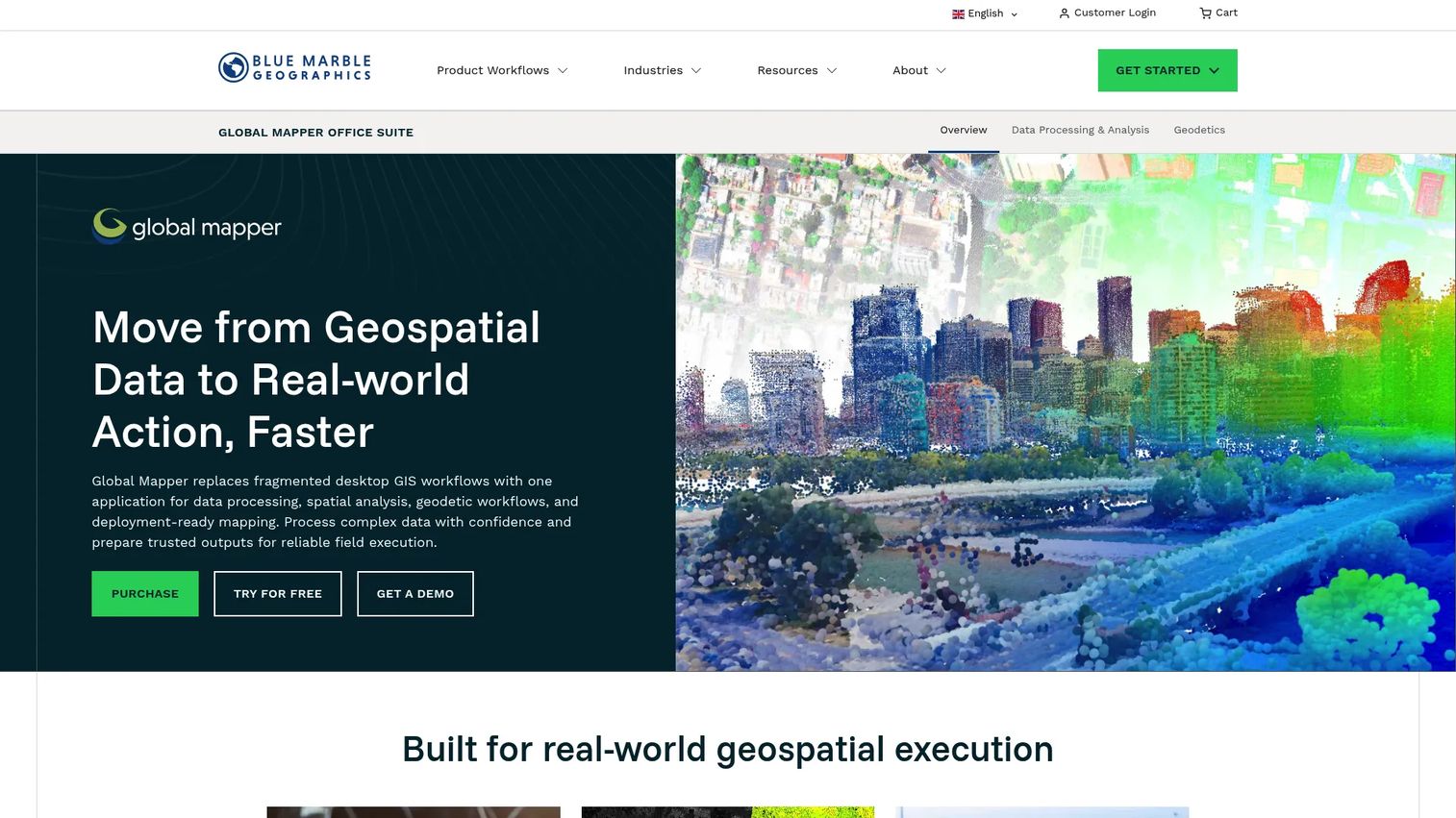
Global Mapper is a desktop GIS application from Blue Marble Geographics known for supporting over 300 geospatial file formats, terrain analysis, LiDAR and point-cloud processing, raster calculation, 3D visualization, vector editing, and professional map production. It also supports Python scripting and workflow automation for batch processing. For GIS specialists working across messy, heterogeneous geospatial inputs, it removes much of the format translation overhead that slows down analysis.
Best for: GIS specialists working with terrain, LiDAR, diverse raster formats, or mixed geospatial data inputs where format compatibility is a recurring obstacle.
Key features
- Import and export across 300+ geospatial file formats
- Terrain analysis: Contours, viewshed, watershed, flood simulation
- LiDAR and point-cloud processing
- Raster calculation, reclassification, and 3D visualization
- Python scripting and workflow automation
Why choose Global Mapper: Choose Global Mapper when format friction between data sources is the problem slowing the team down. The one-time license model is attractive for teams that want predictable costs without recurring subscriptions.
Global Mapper pricing: Standard single-user node-locked license is $700 (one-time purchase). Pro single-user node-locked license is $1,750 (one-time purchase). Global Mapper Mobile is free in its base version; the Pro mobile license is $50 per device. Subscription options are also available; contact Blue Marble Geographics for those rates.
G2 rating: 4.3/5
20. WhiteboxTools
WhiteboxTools from Whitebox Geospatial is an open geospatial software platform offering over 700 analysis tools across terrain analysis, hydrology, LiDAR processing, remote sensing, and vector operations. It runs through Python, R, and QGIS interfaces, supports parallel computing for performance-intensive tasks, and processes data locally without cloud dependencies. Six commercial Pro workflow bundles add decision-grade analytical tools for precision agriculture, forest operations, and other specialized domains.
Best for: Technical GIS users and researchers running terrain, hydrology, LiDAR, or raster analysis workflows through Python, R, or QGIS, especially where analytical breadth and local processing matter.
Key features
- 700+ geospatial analysis tools across terrain, hydrology, LiDAR, remote sensing
- Python, R, and QGIS interfaces
- Parallel computing for local, offline processing
- Six commercial Pro bundles for specialized workflows
- No cloud dependency for data processing
Why choose WhiteboxTools: Choose WhiteboxTools when the analysis requires specialized terrain or hydrology tooling that isn't covered by general-purpose GIS platforms. The free open tier covers a wide range of workflows; the Pro bundles target teams with production-grade analytical requirements.
WhiteboxTools pricing: Free and open source for the core toolset. Pro Entry starts at $520 per user per year. Pro Standard runs $970 per user per year. Pro Enterprise pricing is custom; contact Whitebox Geospatial for rates.
G2 rating: N/A
21. Geocodio
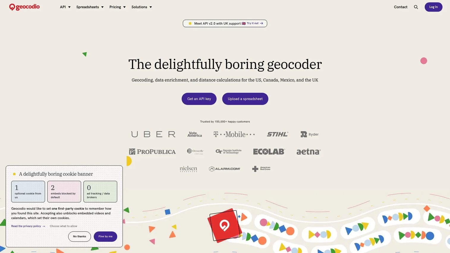
Geocodio is a geocoding and data enrichment service for the US, Canada, Mexico, and the UK. It converts addresses to coordinates, handles reverse geocoding, standardizes and corrects address formatting, and enriches location data with Census, political, school district, timezone, and ZIP+4 information. It supports batch spreadsheet uploads, API access, and distance calculations. For product and data teams, it's the focused utility that cleans location data before analysis, routing, or map display.
Best for: Teams processing bulk address data for geocoding, location enrichment, or distance calculations before feeding results into GIS analysis or product features.
Key features
- Forward and reverse geocoding for US, Canada, Mexico, UK
- Address parsing, correction, and standardization
- Data enrichment: Census, political boundaries, school districts, timezone, ZIP+4
- Batch spreadsheet processing and REST API access
- Driving and straight-line distance calculations
Why choose Geocodio: Choose Geocodio when the bottleneck is inconsistent address data upstream of analysis. It removes the coordinate-resolution step from engineering responsibility and handles the enrichment that makes downstream spatial work possible. If you're also evaluating tools for user research that involves location patterns, our guide to best user research tools covers related workflows.
Geocodio pricing: Pay-as-you-go is free for the first 2,500 lookups per day, then $1.00 per 1,000 lookups. Flex subscription plans start at $325 per month. Unlimited North America plans start at $1,350 per month. Unlimited North America plus UK plans start at $1,600 per month.
G2 rating: 4.5/5
Considerations when choosing GIS tools
Start with the workflow, not the map
The most common mistake in GIS tool selection is choosing a platform before identifying what kind of work it needs to do. Internal analysis, public web maps, geocoding pipelines, production APIs, and publication graphics each belong to different tool categories. Map the workflow first: Who does the analysis, who consumes the output, and where does the data need to live after the session ends.
Check data compatibility before committing
GIS data comes in dozens of formats: Shapefiles, GeoJSON, GeoPackage, PostGIS tables, KML, raster grids, CSV with coordinates, and more. Mismatched formats between source data and the chosen tool become a maintenance problem at every release cadence update. Confirm that the tool reads your input formats natively, handles your coordinate system, and can write outputs that downstream tools can consume without conversion steps.
Match the learning curve to the team
A powerful tool that nobody adopts is shelfware. QGIS and GRASS GIS reward GIS specialists but have steep onboarding for generalists. Felt and Google Earth Pro are accessible to non-technical stakeholders within minutes. PostGIS requires SQL fluency and database access. Mapbox and Leaflet need frontend engineering capacity. Matching tool depth to team skills reduces the implementation backlog and keeps the adoption cost from becoming a recurring engineering interrupt.
Evaluate collaboration and governance requirements
Shared layer access, version control, permission management, and data ownership all become critical as the team scales. ArcGIS Online and Felt handle collaborative editing natively. PostGIS fits teams with database access controls and infrastructure governance. Desktop tools like QGIS and ArcGIS Pro require file-sharing conventions or organizational GIS infrastructure to support multiple editors. Clarify governance expectations before the tool ships to production.
Plan for production maintenance, not just the prototype
A prototype map and a production GIS workflow have different operational requirements. Production maps need tile hosting, API reliability, usage-based cost modeling, a refresh cadence tied to your release schedule, and clear ownership when a layer goes stale. Build those requirements into the evaluation before selecting a tool. The cheapest tool for a prototype often carries the highest maintenance overhead at scale.
Conclusion
No single GIS tool covers every workflow. The right selection depends on where the work happens and who needs to use the output.
For enterprise GIS infrastructure with governance, start with ArcGIS or ArcGIS Enterprise. For open-source desktop analysis without licensing cost, QGIS is the standard choice. When collaborative stakeholder maps matter more than analytical depth, Felt gets a team aligned faster than any desktop alternative. For production web maps, the decision between Mapbox, Leaflet, and OpenLayers turns on design control, engineering capacity, and API requirements. Backend spatial logic belongs in PostGIS. Statistical spatial analysis fits GeoDa for exploratory work and R for reproducible, instrumented pipelines.
For teams evaluating location-based product features or spatial data workflows, the most productive next step is identifying which workflow category applies first, then evaluating one or two tools within that category against real data and real team constraints. Refer to our guides on best statistical analysis software and best product analytics software tools for adjacent decisions that often pair with GIS work.
FAQs about GIS tools
GIS tools are used to collect, manage, analyze, visualize, and share geographic and location-based data. Common applications include mapping delivery zones, modeling service coverage, performing site selection, analyzing spatial patterns in customer or demographic data, geocoding address records, publishing interactive web maps, and running risk or environmental analysis. Product teams use GIS tools to validate location-based product decisions and to build location features into software.
The answer depends on what "beginner" means in context. For quick visual exploration, Google Earth Pro requires no training and runs on any desktop. For collaborative map creation with a team, Felt has a low barrier and handles data uploads through a browser. For learning full desktop GIS analysis, QGIS is the strongest open-source starting point, though it requires more structured onboarding than the other two.
Several strong options are free. QGIS is the most capable free desktop GIS for analysis and cartography. GRASS GIS is free and covers advanced terrain and raster modeling. GeoDa is free for spatial statistics. Google Earth Pro is free for geographic exploration. R is free for statistical spatial analysis. Leaflet and OpenLayers are free JavaScript libraries for web maps. PostGIS is free as a PostgreSQL extension. WhiteboxTools offers a free open tier for geospatial analysis. Note that "free" does not eliminate hosting, training, or maintenance costs at scale.
Neither is universally better; they suit different situations. QGIS is free, open source, highly extensible, and interoperable with a wide range of formats. It's the stronger choice when cost control, flexibility, and avoiding vendor lock-in are priorities. ArcGIS is stronger for enterprise ecosystem integration, organizational governance, standardized workflows across departments, and teams that need Esri's support structure and industry-specific applications. Many organizations use both: QGIS for analysis by field teams or researchers, ArcGIS for organizational publishing and enterprise data management.
GIS software like QGIS or ArcGIS Pro handles spatial data management, analysis, geoprocessing, and cartographic production on the desktop or server. Web mapping tools publish interactive maps in a browser. Some platforms do both: ArcGIS Online and CARTO combine analysis with web map publishing. JavaScript libraries like Leaflet and OpenLayers are web mapping tools without the analysis layer. The practical distinction is whether the tool manages spatial data and analysis logic, or whether it renders an already-prepared map for browser-based interaction.
It depends on complexity. A PM evaluating delivery zones or reviewing territory boundaries can use Felt or Google Earth Pro without GIS expertise. Spatial modeling, projection accuracy, data quality at scale, and production infrastructure for dynamic spatial services generally require GIS or data engineering expertise. The risk of building without that expertise is shipping location logic with spatial errors that are expensive to identify and fix after release.
Mapbox is the strongest choice when maps are a core part of the user experience and the team needs custom styling, mobile SDKs, and a managed tile infrastructure. Leaflet fits teams that want engineering control and lightweight JavaScript without managed service dependencies. OpenLayers suits applications with complex projection requirements or rich GIS layer behavior. ArcGIS Online and CARTO are better fits when the maps connect to a broader geospatial analysis and data management layer rather than standing alone as a rendering surface.
Verify that the tool reads your input formats and writes outputs compatible with your downstream systems. Check coordinate system and projection support for your geographic scope. Confirm collaboration and permission models match your team structure. Evaluate the learning curve against the team's current GIS fluency. Understand the full cost model: Licensing, hosting, tile services, API usage, support, and training. Finally, assess production maintenance requirements: How updates are applied when the product changes, who owns the data layers, and how the tool fits your release cadence.