

You have seismic volumes, well data, and a team waiting on an answer about where to drill, model, or monitor next. The harder problem is rarely loading the data. Getting every interpretation, model, and decision into one workflow people trust is where teams stall.
The geophysical software market reflects that complexity. According to Fortune Business Insights (2026), the seismic data processing and imaging software market reached $9.69 billion in 2025, with a 9.28% CAGR projected through 2034. That growth signals both expanding demand and a crowded field where tools overlap considerably across workflow stages.
Choosing the wrong scope creates two distinct failure modes. A focused seismic interpreter can be enough for a small prospect inventory. An integrated platform becomes necessary when geological, well, reservoir, and governance workflows start depending on one another. This guide helps you tell the difference before you sign a contract.
What's inside
This guide covers ten tools across seismic interpretation, geological modeling, visualization, and subsurface workflows, plus one adjacent category for software vendors in this space.
- Who it's for: Geoscientists, subsurface managers, technical software buyers, and SaaS founders studying this category
- Selection criteria: Data-handling depth, interpretation scope, modeling breadth, AI support, format interoperability, and team fit
- Coverage split: Focused interpreters versus integrated enterprise environments versus open-source options
- The Guideflow angle: How geoscience software vendors can show complex product workflows to buyers before a live technical session
TL;DR
- Best for technical-software GTM: Guideflow for geology and seismic software vendors that need buyers to explore product workflows before booking a live session
- Best overall subsurface platform: Petrel for teams needing seismic interpretation, geological modeling, and reservoir workflow coverage in one environment
- Best open-source option: OpendTect for teams that want configurable 3D seismic interpretation and attribute analysis without an enterprise starting price
- Best for AI-assisted seismic insight: GeoTeric for interpretation teams prioritizing conditioning, classification, and validation workflows
- Best for North American well and seismic workflows: SeisWare or Geographix, depending on whether the priority is integrated seismic interpretation or well-centric geological mapping
Pricing and G2 ratings below were verified against live vendor pages and G2 listings in October 2026.
What is geology and seismic software?
Geology and seismic software is a category of geoscience applications used to load, visualize, interpret, model, and analyze subsurface data for exploration, production, reservoir management, mining, geothermal, and carbon-storage work.
The category covers several distinct workflow areas:
- Seismic interpretation: Pick horizons, faults, and stratigraphic features in 2D, 3D, or 4D datasets
- Seismic visualization: Render volumes, slices, sections, attributes, and gathers for technical review
- Geological modeling: Convert interpreted surfaces and wells into structural or stratigraphic models
- Well and petrophysical integration: Combine LAS, DLIS, and related well data with seismic interpretation
- Reservoir and volumetric workflows: Estimate volumes, uncertainty, reserves, or storage capacity
- AI-assisted analysis: Apply conditioning, classification, attribute enhancement, and pattern detection with interpreter oversight
- Interoperability: Exchange data through formats such as SEG-Y, ZGY, GRDECL, shapefiles, DXF, and GeoTIFF
- Governance and collaboration: Manage shared projects, version history, permissions, and auditable technical decisions
The tools in this category do not all solve the same job. A quick distinction helps before you evaluate:
| Tool type | Primary job | Typical buyer |
|---|---|---|
| Seismic interpretation software | Interpret seismic volumes and map subsurface structures | Geophysicists, interpreters |
| Integrated subsurface platforms | Connect seismic, wells, geological models, and reservoir workflows | Multidisciplinary asset teams |
| Geological modeling software | Build structural and stratigraphic models | Geologists, modelers |
| Technical-demo software | Show complex geoscience workflows to prospects without live access | Geoscience software vendors |
The final row marks exactly where Guideflow fits. It is not a seismic analysis software platform, it is the tool vendors use to show those platforms to buyers.
When to use geology and seismic software
Interpret large seismic datasets before high-cost decisions
Exploration ranking, drill planning, development planning, and uncertainty reduction all require traceable horizon and fault interpretation before a technical recommendation can be presented. A seismic data interpretation software platform gives teams the record of how conclusions were reached, which matters when decisions carry significant capital risk.
Connect seismic interpretation to wells and geological models
A technical stack needs more than a viewer when decisions require well-log correlation, velocity modeling, depth conversion, structural frameworks, and reservoir characterization. Teams that route outputs between separate tools manually spend time on data formatting rather than interpretation.
Standardize multidisciplinary project work
Shared data stores, project versioning, data-format compatibility, and reviewable workflows matter when technical findings move between geophysics, geology, petrophysics, reservoir engineering, and leadership. Standardized environments reduce the risk of interpretation inconsistencies surfacing late in a project.
Geology and seismic software comparison
These products do not solve the same job. A platform that excels at AI-driven seismic attributes may not replace an end-to-end subsurface environment. A well-centric geological tool may be far more than a focused interpretation team needs. Read the differentiator column before the pricing column.
| # | Product | Best for | Key differentiator | Pricing | G2 rating |
|---|---|---|---|---|---|
| 1 | Guideflow | Demonstrating complex geoscience software to buyers | Interactive demos, sandboxes, and product-exploration analytics | Free plan available; paid plans from $35/month | 5.0/5 |
| 2 | Petrel | Integrated enterprise subsurface workflows | Seismic, wells, modeling, and reservoir workflows in one environment | Contact SLB for pricing | 4.7/5 |
| 3 | Kingdom | Seismic interpretation with geology and well workflows | Broad interpretation and mapping modules | Contact SLB for pricing | 3.5/5 |
| 4 | OpendTect | Flexible seismic interpretation and research | Open-source core with attribute and plugin ecosystem | Free core; commercial modules priced separately | Not listed on G2 |
| 5 | DecisionSpace Geosciences | Enterprise geoscience and interpretation programs | Connected geoscience workflows for large organizations | 15-day free trial; paid pricing on request | 5.0/5 |
| 6 | GeoTeric | AI-assisted seismic interpretation | Conditioning, attributes, classification, and validation | Contact GeoTeric for pricing | Not listed on G2 |
| 7 | SeisWare | Practical seismic and well interpretation teams | Desktop-focused interpretation and mapping workflows | Annual subscription; contact SeisWare for pricing | 4.8/5 |
| 8 | Geographix | Well-centric geology and integrated mapping | Geological, well, and production-oriented workflows | Contact Halliburton for pricing | 4.8/5 |
| 9 | JewelSuite Geophysics | Interpretation and geological modeling integration | Structural modeling plus seismic interpretation workflows | Contact JewelSuite for pricing | Not listed on G2 |
| 10 | g-Space | Microgravity intelligence and workflow platform | Configurable workflows, AI/ML analysis, and decision-ready outputs | Plus plan from $250/user/month | Not listed on G2 |
Best 10 geology and seismic software tools for 2026
1. Guideflow
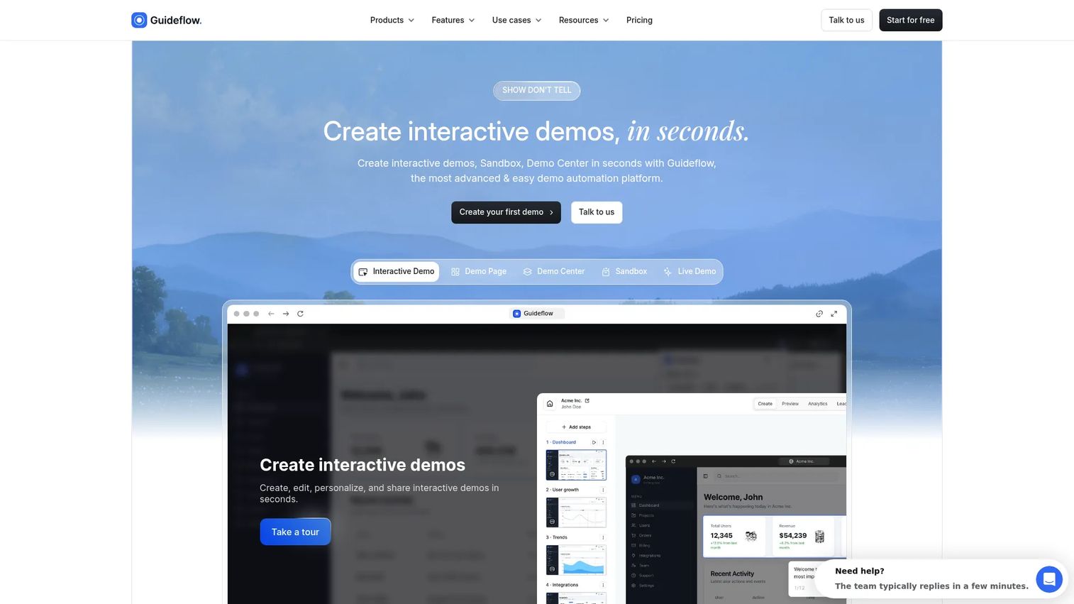
Guideflow is a demo automation platform for creating, customizing, sharing, and analyzing interactive product demos and guided walkthroughs. It is not geology or seismic interpretation software. Vendors that sell complex geology and seismic platforms use it to show product workflows to prospects without provisioning a live environment. The platform supports interactive demos, sandbox environments, demo centers, mobile demos, and live demos, covering everything from a single guided walkthrough on a landing page to a centralized hub where all your demos live under one brand.
Best for: Geoscience software companies that need prospects, partners, and buying committees to explore complex workflows before a technical discovery call.
Key features
- Guided interactive product demos and sandbox environments
- No-code personalization: Edit text, images, and graphs per account
- AI-generated steps, voiceovers, and demo content in multiple languages
- Advanced analytics: Session tracking, completion rates, and lead capture
- Public links, website embeds, and CRM integrations
Why choose Guideflow: A founder selling technical geoscience software faces a specific GTM problem: The product is difficult to explain through screenshots or slide decks, but provisioning a live environment for every prospect is expensive and slow. Guideflow lets your team show a fault-picking workflow, a seismic attribute sequence, or a model-building process without a sales engineer rebuilding the story for every deal. It turns complex product storytelling into a repeatable system, not a one-off effort. See our roundup of the best interactive demo tools for context on how this category fits into a GTM stack.
Guideflow pricing: Free plan available. Paid plans start at $35/month (Solo), with Growth at $499/month, Advanced at $1,499/month, and Enterprise from $2,999/month. All prices are monthly rates from the live pricing page.
G2 rating: 5.0/5
Start your journey with Guideflow today!
2. Petrel
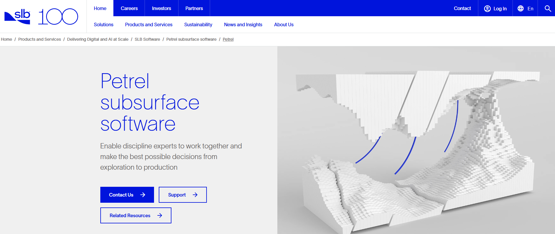
Petrel is SLB's subsurface software for collaborative geoscience and engineering workflows across exploration, development, and production. It is the broad-platform option for asset teams combining seismic interpretation, well data, geological modeling, reservoir characterization, and reservoir engineering handoffs in a single environment. The platform covers everything from 2D and 3D seismic interpretation to prestack workflows, structural frameworks, and shared project environments for multidisciplinary teams.
Best for: Larger exploration and production organizations that need one environment across interpretation, modeling, and reservoir workflows.
Key features
- 2D, 3D, and 4D seismic interpretation including prestack workflows
- Geological, structural, facies, and geocellular property modeling
- Well and petrophysical data integration
- Velocity modeling and depth conversion
- Shared project environments for multidisciplinary teams
Why choose Petrel: Petrel fits buyers who need full workflow continuity rather than a standalone interpreter. The evaluation needs to account for implementation scope, training requirements, governance setup, and module selection. Teams with narrower interpretation-only needs may find the platform's breadth exceeds what they require in year one.
Petrel pricing: SLB does not display pricing on the official product page. Contact SLB directly for licensing terms, deployment options, and module structure.
G2 rating: 4.7/5 based on 17 reviews
3. Kingdom
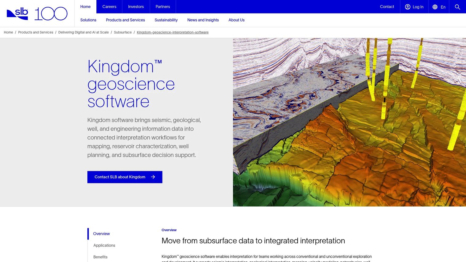
Kingdom is geoscience interpretation software from SLB for integrating seismic, geological, well, and engineering data across subsurface workflows. It is a strong fit for interpreters who need seismic interpretation, mapping, synthetic modeling, well workflows, and project data management without immediately committing to a full modeling-and-simulation environment. Horizon and fault mapping, log correlation, attribute analysis, and depth conversion all sit within the same platform.
Best for: Technical teams that need a mature seismic interpretation stack where geological context and well data remain tightly connected.
Key features
- 2D and 3D seismic interpretation with horizon and fault workflows
- Well-log correlation and petrophysical workflows
- Attribute analysis and seismic inversion
- Depth conversion and velocity modeling
- Volumetrics and 3D visualization
Why choose Kingdom: Kingdom fits teams where the interpretation workflow remains central but geological context and well data must stay linked. It is worth evaluating before Petrel when the primary job is seismic data interpretation software rather than full reservoir modeling.
Kingdom pricing: SLB does not display pricing for Kingdom on the official product page. Contact SLB for current package terms and annual licensing conditions.
G2 rating: 3.5/5 based on 1 review
4. OpendTect
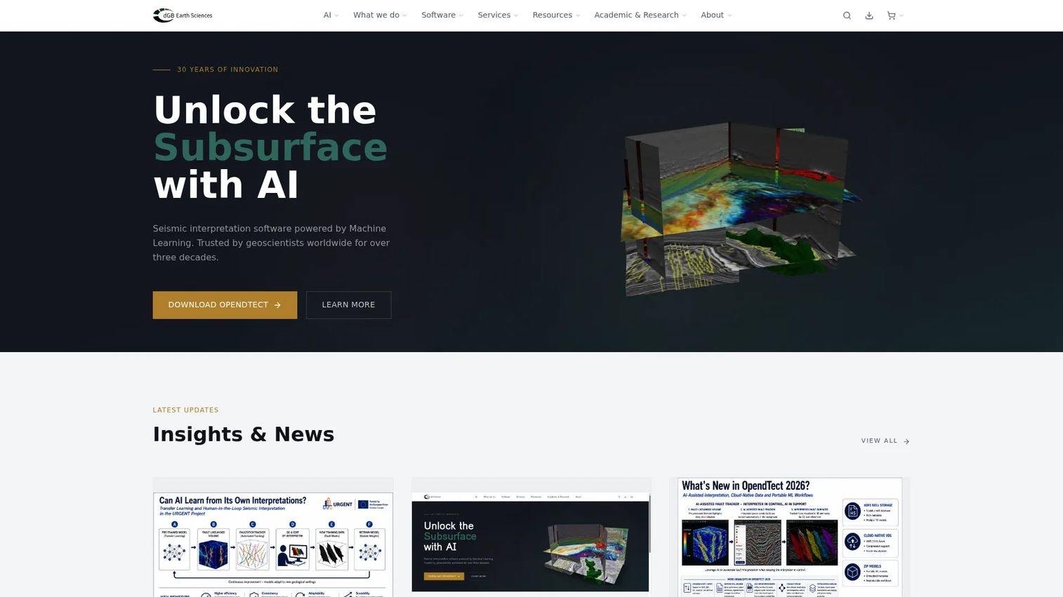
OpendTect is an open-source seismic interpretation system and software development platform for visualizing, analyzing, and interpreting 2D, 3D, and 4D seismic data. It is a widely recognized starting point for seismic visualization and interpretation, with optional commercial plugins and professional services for teams that need additional capabilities. The Python-friendly technical ecosystem makes it a practical environment for research groups and advanced users building custom workflows. For context on how visualization tools fit broader technical stacks, see our guide to 3D visualization software.
Best for: Research groups, academic programs, smaller technical teams, and advanced users who want configurable seismic interpretation workflows and can support a more technical setup.
Key features
- Open-source 2D and 3D seismic interpretation core
- Attribute analysis and filters
- Horizon and fault tracking with autotracking tools
- Well-data management and visualization
- Plugin-based extensions and Python ecosystem
Why choose OpendTect: It is the right choice for teams with internal geophysical expertise who want configurability, an active open-source community, and a free starting point. Teams that need vendor-supported training, governance, and enterprise deployment should evaluate the commercial options alongside the free core.
OpendTect pricing: The core platform is free and open-source. OpendTect Pro is a commercial extension; pricing for Pro and commercial plugins is not displayed on the official site. Contact OpendTect directly for commercial module costs.
5. DecisionSpace Geosciences
DecisionSpace Geosciences is a cloud-based geoscience SaaS platform for exploration and appraisal lifecycle management, subsurface interpretation, modeling, and collaboration. It is designed for enterprise organizations with multidisciplinary geoscience teams, governed data environments, and large-scale interpretation programs. The platform's cloud-native architecture supports secure on-demand access for asset teams across regions and data types.
Best for: Operators that require consistent geoscience workflows across regional teams, multiple data types, and large asset portfolios.
Key features
- Cross-domain workflows for exploration and appraisal lifecycle management
- Cloud-based interpretation and modeling capabilities
- Secure on-demand multi-user database technology
- Anytime, anywhere access for distributed asset teams
- Collaboration controls for governed subsurface programs
Why choose DecisionSpace Geosciences: It belongs on shortlists where enterprise governance and standardized workflow delivery matter as much as the individual interpreter's desktop experience. The cloud-native model removes local infrastructure requirements, which matters for organizations managing global programs. A 15-day free trial is available to evaluate the platform before committing.
DecisionSpace Geosciences pricing: A 15-day free trial is available. Paid pricing requires contacting the vendor directly.
G2 rating: 5.0/5 based on 1 review
6. GeoTeric
GeoTeric provides AI-assisted seismic interpretation software for understanding subsurface geology. The platform centers on an interpreter-led AI workflow: Seismic conditioning, attribute enhancement, classification, visualization, and geological model validation. AI fault interpretation, 3D AI networks, adaptive horizon tracking, colour blending, and seismic facies classification are core capabilities. It is especially relevant when seismic image quality, attributes, and pattern recognition are the primary technical constraints on interpretation.
Best for: Geophysics teams that want AI support for identifying patterns, improving seismic clarity, and interpreting complex geological features.
Key features
- AI fault interpretation and 3D AI networks
- Adaptive horizon, fault, and geobody interpretation
- RGB, CMY, and HSV colour blending for attribute visualization
- Seismic facies classification
- AI Data Conditioning and AI Geological Features workflows
Why choose GeoTeric: It addresses the specific problem of extracting more information from difficult seismic data, rather than replacing a full interpretation environment. Teams evaluating AI seismic interpretation features should test whether the conditioning and classification workflows improve confidence on their own representative data before drawing conclusions about fit.
GeoTeric pricing: GeoTeric does not display pricing on the official website. Contact GeoTeric directly for licensing options, deployment model, and evaluation access.
7. SeisWare
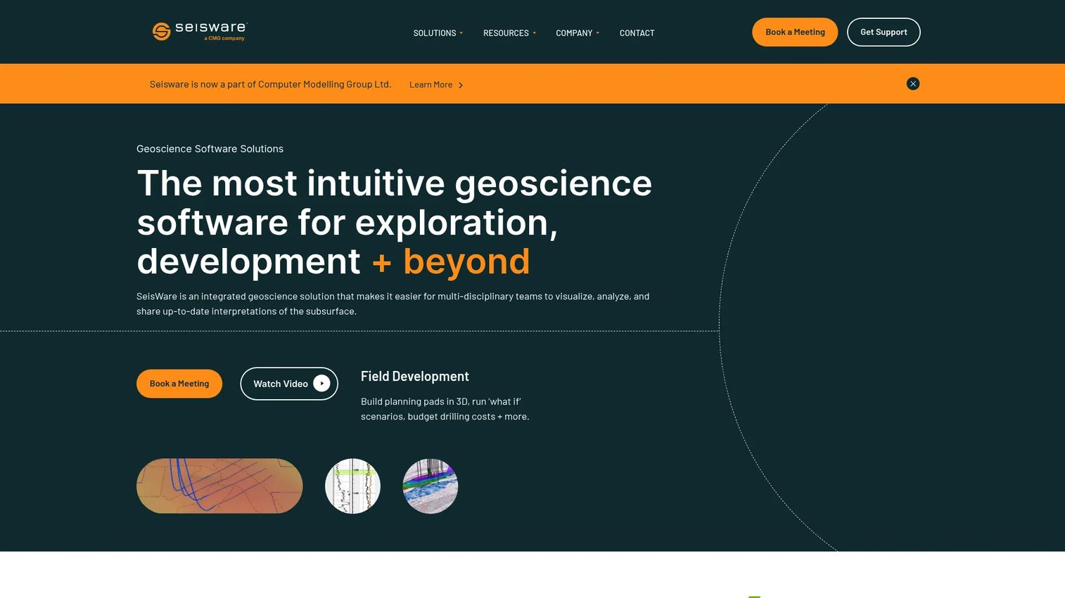
SeisWare is integrated geoscience software for geology, geophysics, and field-development workflows used primarily by oil and gas teams. The platform covers 2D and 3D seismic interpretation, geological mapping, cross-sections, log editing, tops picking, and field-development planning with pad templates, scenario testing, and 3D well design. Its support model is a notable differentiator: SeisWare states that 100% of its support staff are trained geoscientists, with 87% of calls answered on first contact and average phone wait times under one minute.
Best for: Small and mid-sized technical teams that need practical seismic and well interpretation capabilities without a large enterprise rollout.
Key features
- 2D and 3D seismic interpretation
- Geological mapping, cross-sections, log editing, and tops picking
- Field-development planning with pad templates and scenario testing
- 3D well design and reserves calculations
- Seismic visualization and horizon mapping
Why choose SeisWare: It is the right option when practical deployment, day-to-day interpretation, and geoscientist-led support matter more than a broad enterprise data architecture. It is worth evaluating alongside integrated platforms when the team's core workflow stays within seismic interpretation, well data, and development planning rather than spanning full reservoir modeling. SeisWare received a CSEG Special Commendation Award in 2022 and an HGS Silver Corporate Star Award for 2021 to 2022.
SeisWare pricing: Annual subscription pricing applies. Pricing is not displayed on the official website. Contact SeisWare for current subscription terms. Maintenance, support, and upgrades are included in the subscription.
G2 rating: 4.8/5
8. Geographix
Geographix is integrated geological, geophysical, and petrophysical interpretation software for petroleum geoscientists from Halliburton Landmark. The platform is commonly evaluated for geological interpretation, well-data management, geophysical analysis, and production-oriented technical workflows. Cross-section interpretation, petrophysical workflows, and 3D visualization all connect within one environment. For teams whose core questions begin with wells, correlations, and mapping rather than seismic volume interpretation, it provides a more directly oriented starting point.
Best for: Asset teams that prioritize well-centric analysis, geological mapping, petrophysical context, and operational decision support.
Key features
- Geological interpretation and cross-section analysis
- Geophysical interpretation workflows
- Petrophysical interpretation
- 3D visualization and well planning
- Production-focused analysis
Why choose Geographix: Geographix fits teams whose primary workflows begin with wells and correlations, then extend into mapping and development decisions. It is distinct from platforms where seismic volume interpretation is the organizing principle. The Halliburton Landmark page for this product experienced access issues during research; contact Halliburton directly to confirm current product packaging.
Geographix pricing: Halliburton does not display pricing on the official product page. Contact Halliburton Landmark directly for current commercial terms.
G2 rating: 4.8/5
9. JewelSuite Geophysics
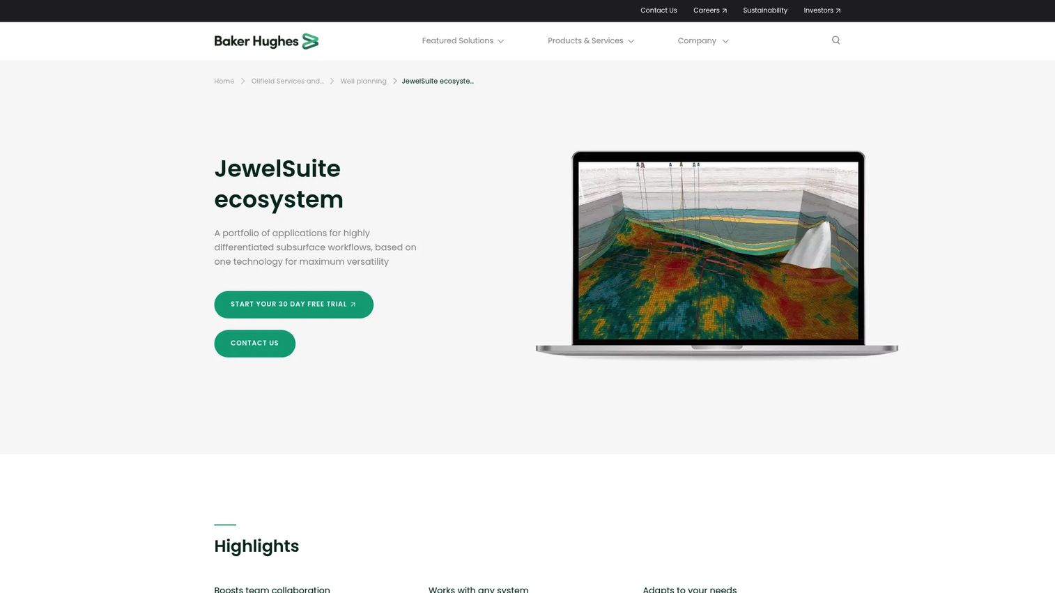
JewelSuite Geophysics provides geoscience software for seismic interpretation, subsurface modeling, geomechanics, and reservoir workflows. The platform combines geophysical interpretation with geological modeling and structural framework development, covering 2D and 3D seismic data import, inline and crossline visualization, horizon and fault interpretation with autotracking, and geological model construction. It is positioned for teams that need to move from seismic observations into structural and stratigraphic models without switching platforms. Alongside the best 3D modeling software options available, JewelSuite serves teams where model construction sits at the center of the workflow.
Best for: Geological modelers and interpreters who need to move from seismic observations directly into structural and stratigraphic models.
Key features
- 2D and 3D seismic data import and interpretation
- Seismic visualization across inline, crossline, depth, and random sections
- Horizon and fault interpretation with autotracking tools
- Structural framework and geological model construction
- Multidisciplinary data integration
Why choose JewelSuite Geophysics: It deserves consideration where model construction and structural integrity sit at the center of the workflow rather than appearing at the end of an interpretation sequence. The official homepage experienced access issues during research; contact JewelSuite directly to verify current product capabilities and licensing.
JewelSuite Geophysics pricing: JewelSuite does not display pricing on the official website. Contact the vendor directly for licensing structure and evaluation access.
10. g-Space
g-Space is a microgravity intelligence platform for designing experiments, analyzing data, and scaling research and manufacturing programs. The platform offers configurable, reusable workflows with quantitative metrics, AI/ML-powered analysis, image and video analysis from microscopy and experimental captures, and decision-ready outputs including metrics, visualizations, and reports. It is distinct from the seismic interpretation and geological subsurface platforms elsewhere in this list: Its primary application is microgravity research and manufacturing program optimization rather than oil and gas seismic interpretation or geomodeling. Teams evaluating g-Space for subsurface geological modeling should verify current product scope directly with the vendor before advancing it in a shortlist. Its data visualization and configurable workflow model may still be relevant for specialized scientific teams.
Best for: Biotech, advanced materials, and manufacturing teams evaluating or optimizing processes under microgravity conditions.
Key features
- Configurable, reusable workflows with quantitative metrics and comparisons
- AI/ML-powered analysis and prediction for microgravity applications
- Image and video analysis from microscopy and experimental captures
- Bring-your-own data or use historical microgravity datasets
- Decision-ready metrics, visualizations, and reports
Why choose g-Space: It is the right option for scientific teams working on microgravity research, advanced materials, or biotech manufacturing programs that need structured, repeatable analytical workflows with AI-assisted outputs. Subsurface geoscience teams evaluating traditional seismic interpretation or geomodeling tools should prioritize the other platforms in this list.
g-Space pricing: A 14-day free trial is available. The Plus plan starts at $250/user/month ($2,500 billed annually). The Pro plan is $500/user/month ($5,000 billed annually). The Max plan is $800/user/month ($8,000 billed annually). A Launch plan starts at $30,000 for 90 days of access. Enterprise plans are priced on a custom annual license basis.
Considerations when choosing geology and seismic software
Match the platform to the workflow boundary
Decide whether the team needs a focused seismic interpreter, an integrated subsurface environment, or a geological modeling product. Buying too broad creates adoption and implementation overhead before the team is ready. Buying too narrow creates manual exports, duplicate interpretation work, and inconsistent data flows between tools.
Test real data and real scale
Use representative seismic volumes, wells, grids, and maps during evaluation, not the vendor's polished demo dataset. A clean sample project does not prove that the platform will perform under your actual storage, rendering, and collaboration requirements. Request a structured evaluation environment with your own data before committing.
Verify formats and interoperability
Require a written import and export checklist before finalizing a shortlist. Priority formats include SEG-Y for seismic data, LAS and DLIS for well information, GRDECL for reservoir grids, and GIS exchange formats such as shapefiles, DXF, and GeoTIFF. The specific priority depends on existing technical systems and downstream handoffs.
Evaluate AI with interpreter oversight
Ask what the AI changes in the workflow. Strong answers show where conditioning, classification, or attribute analysis reduces manual effort while keeping technical judgment traceable. Weak answers describe AI as a feature rather than a workflow improvement.
Price the operating model, not only the license
Include implementation, training, compute requirements, storage, module add-ons, user seats, and integration work in the total cost estimate. For a founder or technical operator, total ownership cost matters more than the initial seat quote when planning against a CAC payback timeline.
Conclusion
The right geology and seismic software comes down to one hard question: Does the team need a tool that interprets seismic data, or a platform that connects interpretation to the larger subsurface decision process?
Petrel is the broad option for integrated subsurface workflows. Kingdom fits seismic interpretation linked to well and geology work. OpendTect offers a configurable open-source foundation for research-oriented teams. GeoTeric earns consideration when AI-supported seismic analysis is the primary bottleneck. SeisWare and Geographix serve practical interpretation and well-centric geological teams respectively. JewelSuite Geophysics addresses the transition from seismic observations into structural models.
For founders building or selling in the geoscience software category, the sales cycle challenge is specific. These are complex technical platforms evaluated by specialists. Getting a prospect to understand your product before requesting a live environment or sales engineer session is where interactive demos, sandbox environments, and a well-organized demo center pay off. A repeatable GTM system should not depend on the founder being in every evaluation.
Start your journey with Guideflow today!
FAQs
The best choice depends on whether the team needs seismic interpretation only or an integrated system for wells, geological modeling, reservoir work, and governance. Petrel is the most complete integrated option for large asset teams. Kingdom serves teams where seismic interpretation and well-data workflows are the core requirement. Use the comparison criteria above rather than choosing by brand recognition alone.
Seismic interpretation software helps users identify faults, horizons, attributes, and geological patterns in seismic data. Geological modeling software uses those interpretations, plus wells and structural data, to build subsurface models for planning and decision support. Some platforms such as Petrel and JewelSuite Geophysics cover both stages in one environment.
Open-source platforms like OpendTect can support commercial workflows, but buyers need to evaluate plugin requirements, support arrangements, data governance, training capacity, and the organization's ability to maintain a configurable environment. The free core is a valid starting point; commercial plugin costs and support contracts are the additional factors to price before committing.
SEG-Y is the standard for seismic data, LAS and DLIS for well information, and GRDECL for reservoir grids. GIS and exchange formats such as shapefiles, DXF, GeoTIFF, CSV, and ASCII cover map data and cross-system handoffs. The priority depends on existing technical systems and downstream processes.
Test whether the AI improves conditioning, attributes, classification, or validation on your own representative data. Require clear human-review steps and traceable outputs. The evaluation should demonstrate that the workflow improves a real interpretation bottleneck rather than adding a processing step that the team then validates manually anyway.
Smaller teams often start productively with focused interpretation and well-data workflows. Full platforms make more sense when cross-functional handoffs, governance, geological modeling, or reservoir workflows become recurring operational requirements. Start with scope, then grow into the platform, rather than paying for architecture you will use only in year three.
The category supports seismic interpretation, geological modeling, storage-capacity assessment, uncertainty evaluation, and volumetric workflows relevant to CCS projects. Product fit depends on the project's data sources, regulatory context, and required modeling depth. Verify specific CCS workflow support directly with each vendor before advancing them in a shortlist.
Vendors can use interactive product demonstrations to let prospects explore a focused workflow, such as seismic interpretation, horizon picking, or model validation. This approach lets technical buyers self-educate on the product's capabilities and interface before requesting a live session or sandbox environment, which reduces the time sales engineers spend on early-stage qualification calls.