

You can model a beautiful district in 3D and still miss the decision that matters. Can the site support the density? What happens to traffic when the new blocks open? Which zoning scenario changes the project economics enough to kill the deal?
Urban planning is not one software problem. A team might need GIS-native zoning workflows, a separate tool for development feasibility, and another for mobility data before they can answer a single council question. The urban planning software market reached $3.2 billion in 2025 and is projected to hit $8.8 billion by 2034, according to MarketIntelo (2025), a growth rate driven partly by fragmentation: More decisions, more data layers, more tools competing for the same planning budget.
For a founder evaluating this category, the risk is buying a visually impressive platform that lacks the data layer your customers actually need, or a strong analytics tool that cannot support public-facing scenario communication. This guide cuts through that fragmentation with a practical shortlist you can hand to your product or GTM team.
What's inside
This guide is for municipal planners, urban designers, development teams, transportation analysts, and founders mapping the planning technology stack.
Tools were selected based on:
- Clear planning use case: Each tool addresses a specific planning decision, not a generic workflow.
- Workflow relevance: Established fit for GIS, 3D modeling, feasibility, mobility, or resilience planning.
- Documented evaluation path: Enough pricing, feature, and rating information for a credible shortlist decision.
- Category coverage: The list spans GIS and spatial data, 3D modeling, site feasibility, mobility analytics, and location intelligence.
TL;DR
- Best for municipal scenario planning: ArcGIS Urban for teams already running Esri GIS workflows.
- Best for early development feasibility: TestFit for rapid site layout and capacity testing.
- Best for 3D development scenarios: 3D Cityplanner for development, density, financial, and environmental planning.
- Best for procedural city modeling: ArcGIS CityEngine for rule-based 3D city generation.
- Best for observed mobility data: StreetLight for transportation planning based on real travel behavior.
- Best for movement scenario modeling: Replica for synthetic population and policy scenario work.
- Best for climate and resilience planning: UrbanFootprint for long-range land-use and sustainability analysis.
What is urban planning software?
Urban planning software is a category of digital tools that help governments, developers, consultants, and design teams analyze places, test scenarios, visualize proposals, and make land-use or infrastructure decisions.
The category is wide enough to create real confusion at procurement time. Here are the five distinct subcategories:
GIS and spatial data platforms
GIS for urban planning organizes parcels, zoning rules, infrastructure, demographics, environmental layers, and public datasets into a shared spatial system. GIS typically acts as the authoritative system of record for location-based planning data. Most other planning tools either integrate with a GIS layer or depend on GIS exports as inputs.
3D city modeling and visualization tools
3D city planning software handles massing, street-level context, shadow studies, view corridors, and procedural generation. These tools are most valuable when a team needs to communicate a development scenario to council members, investors, or community groups who cannot read a zoning spreadsheet.
Development feasibility and site planning tools
Urban planning feasibility software calculates yield, density, parking ratios, unit mix, setbacks, building envelopes, and early cost assumptions. The goal is answering "what fits here, and does it pencil?" before committing to detailed design.
Mobility and transportation intelligence platforms
Urban mobility analytics platforms cover trip patterns, roadway usage, pedestrian movement, freight, curb demand, and parking. They provide the data inputs that transportation planning decisions require, and they are distinct from zoning or design tools.
Climate, resilience, and location intelligence tools
These platforms cover heat exposure, emissions, flood risk, land-use sustainability, environmental performance, and socioeconomic impact analysis. They connect place-based decisions to long-range environmental and social outcomes.
Key features to look for across the category:
- Parcel, zoning, terrain, and basemap integration
- Scenario comparison with documented assumptions
- 3D massing and visual output for stakeholder communication
- Environmental or climate analysis where relevant
- Import and export support for GIS, BIM, and CAD formats
- Version control and shareable outputs
- Governance controls for multi-team or public-sector workflows
When to use urban planning software
Test land-use and development scenarios before committing
Use planning software at the earliest stage of a project, before design budgets expand. Comparing density options, setbacks, parking ratios, and likely environmental impacts in a scenario tool is far cheaper than discovering a constraint after schematic design is underway. The category earns its place by compressing weeks of back-and-forth into hours of modeled alternatives.
Build a credible case for municipal and community stakeholders
Planning software should translate technical trade-offs into maps, models, and scenario comparisons that decision-makers can actually follow. A zoning analysis that only a GIS analyst can interpret will stall in a public hearing. The right tool produces outputs your champion can present without you in the room.
Diagnose mobility, access, and location constraints
When the planning question centers on traffic, transit access, pedestrian behavior, freight patterns, or parking demand, you need movement data before the design is finalized. Transportation planning software answers these questions with observed or modeled data, not assumptions baked into a site plan.
Urban planning software comparison
These 12 tools do not solve the same planning job. A 3D modeling platform should not be evaluated by the same criteria as a mobility intelligence service. Use this table to identify which category fits your immediate decision, then read the relevant entry for depth.
| # | Product | Best for | Key differentiator | Pricing | G2 rating |
|---|---|---|---|---|---|
| 1 | ArcGIS Urban | Municipal land-use scenarios | GIS-native zoning and scenario planning | Contact Esri | 4.1/5 |
| 2 | 3D Cityplanner | 3D development scenario modeling | Parametric planning with financial and environmental analysis | From €79/month | 4.3/5 |
| 3 | Autodesk Forma | Early-stage site analysis | Cloud-based site context and sustainability analysis | From $59/month | 5.0/5 |
| 4 | TestFit | Rapid development feasibility | Automated site layouts and yield analysis | From $195/month | 4.3/5 |
| 5 | ArcGIS CityEngine | Procedural urban modeling | Rule-based 3D city generation with CGA | Contact Esri | 4.2/5 |
| 6 | MODELUR | Parametric urban design in SketchUp | Urban design metrics and scenario modeling | From €74/seat/month (annual) | 4.0/5 |
| 7 | StreetLight | Transportation planning | Travel behavior and mobility analytics | Contact vendor | Not listed on G2 |
| 8 | Replica | Movement scenario modeling | Synthetic population and mobility modeling | Contact vendor | Not listed on G2 |
| 9 | UrbanFootprint | Climate and resilience planning | Land-use, sustainability, and risk analysis | Contact vendor | 4.4/5 |
| 10 | INRIX | Traffic and roadway intelligence | Traffic, parking, curb, and roadway data | Contact vendor | 4.5/5 |
| 11 | Placer.ai | Foot traffic and location intelligence | Visit analytics for real-world places | Contact vendor | 4.3/5 |
| 12 | SketchUp | Accessible 3D urban visualization | Flexible conceptual modeling ecosystem | From $10.75/user/month (annual) | Not listed on G2 |
Pricing and ratings verified October 2026 from each vendor's pricing page and G2 listing.
Best 12 urban planning software tools for 2026
1. ArcGIS Urban
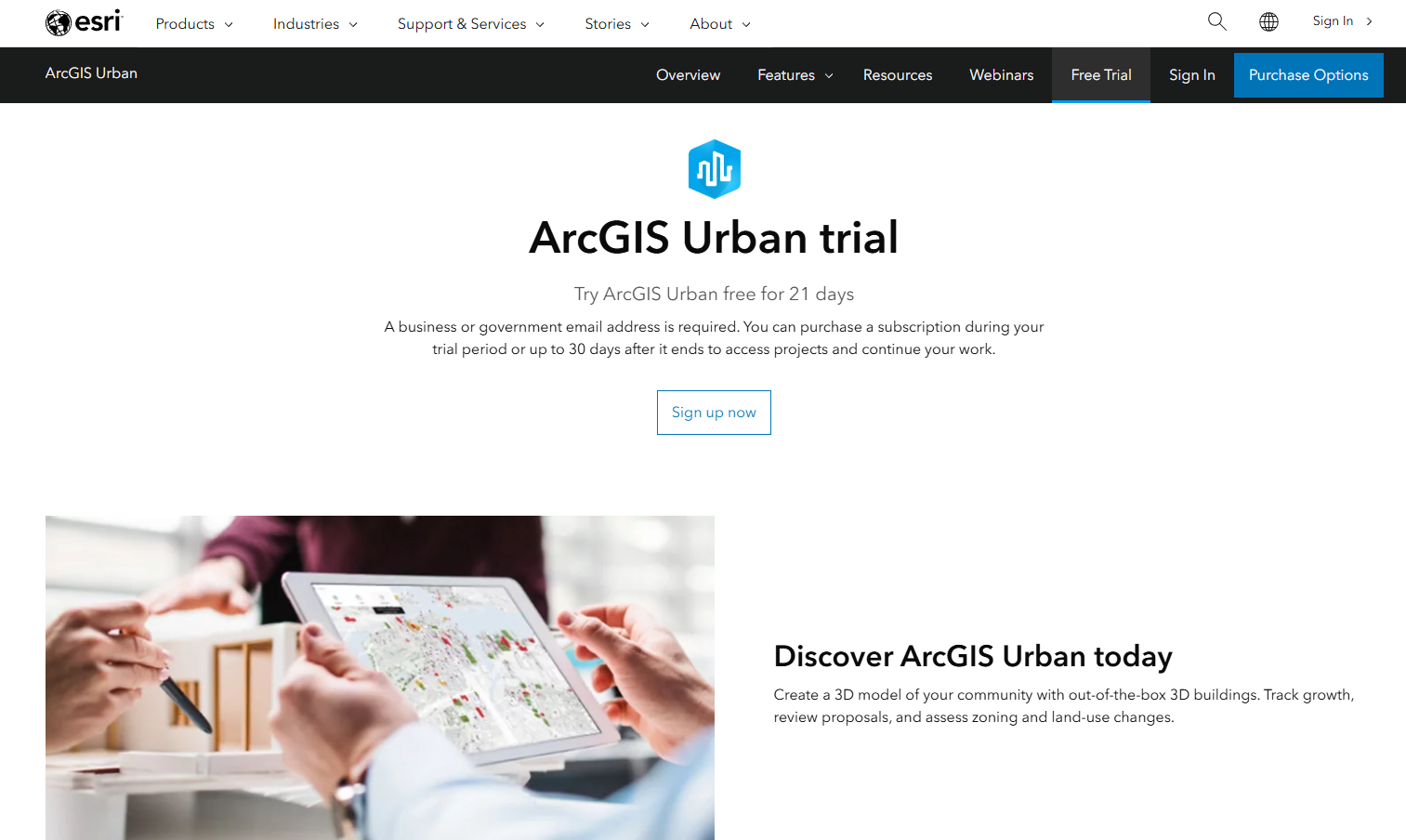
ArcGIS Urban is a web-based GIS solution built for urban planning, scenario analysis, 3D visualization, and stakeholder collaboration. It sits inside the Esri platform and draws on the same parcel, zoning, and spatial datasets that planning departments already maintain. For municipalities that treat Esri as their spatial system of record, Urban removes the gap between GIS layers and planning scenario outputs.
Best for: Municipal planning teams and consulting firms that already rely on Esri data and need land-use scenarios tied to parcel-level context.
Key features
- Land-use and zoning scenario creation and comparison
- Parcel-based development analysis with GIS data integration
- 3D visualization of zoning rules and proposed developments
- Capacity and suitability analysis using predefined or custom metrics
- Stakeholder-facing scenario communication tools
Why choose ArcGIS Urban: Choose it when the planning team already runs on Esri infrastructure and needs scenario modeling without maintaining separate files disconnected from authoritative geospatial data. For founders, it benchmarks the procurement gravity of established GIS platforms in municipal software markets.
ArcGIS Urban pricing: ArcGIS Urban is included in the ArcGIS Professional Plus user type. Esri does not display a standalone Urban price; contact Esri for user type and licensing details tied to your organization's ArcGIS deployment.
G2 rating: 4.1/5 on G2.
2. 3D Cityplanner
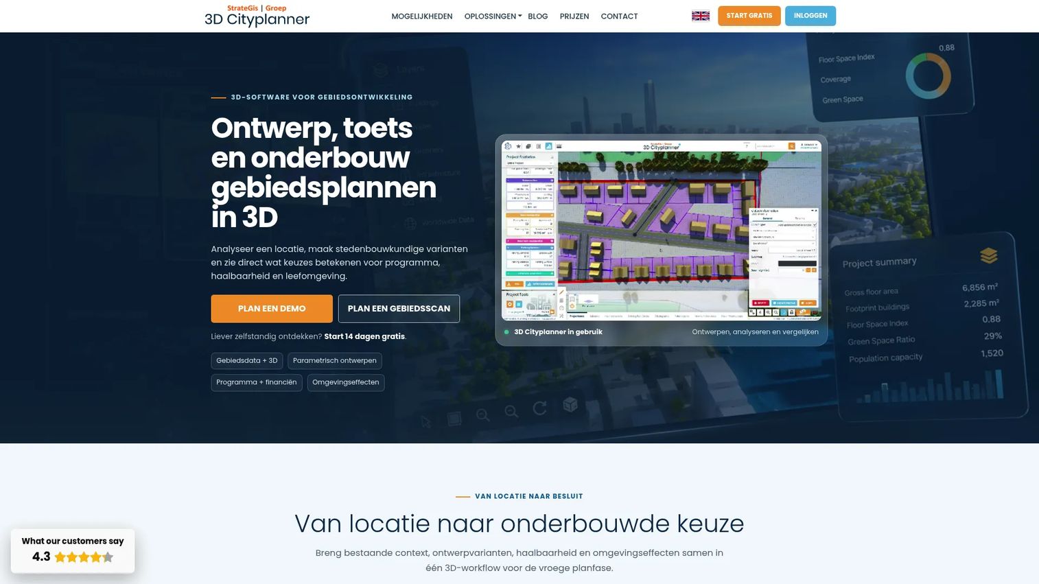
3D Cityplanner is a browser-based platform for analyzing locations, designing urban-development variants, and assessing program, feasibility, and environmental effects. It supports parametric generation of roads, plots, buildings, housing types, parking, green space, and public areas, all within a shared 3D environment accessible via a browser without a local install. This makes it one of the cleaner examples of a tool built for early decisions, before teams spend heavily on detailed design.
Best for: Developers, planning consultants, and municipalities that need to compare development options with financial and environmental outputs in a shared visual environment.
Key features
- Parametric generation of roads, plots, buildings, and public space
- Analyses covering sunlight, shadows, traffic noise, heat stress, and hydrology
- Program, parking, cost, revenue, residual land-value, and KPI comparisons
- 4D phasing for demolition, renovation, and construction sequencing
- Collaborative shared projects, viewpoints, and interactive embeds
Why choose 3D Cityplanner: It combines physical planning, project economics, and visual communication in a single browser session. For a founder evaluating vertical SaaS, it is a strong example of software that earns its place by connecting planning logic with commercial feasibility output, which can matter more to a developer than visual rendering quality alone.
3D Cityplanner pricing: Starter plans start at €79/month (or €790/year). Professional runs €175/month (or €1,800/year), and the Team plan is €475/month (or €4,900/year). Student accounts are free after educational verification. A 14-day free trial is available on Starter and Professional.
G2 rating: 4.3/5 on G2.
3. Autodesk Forma
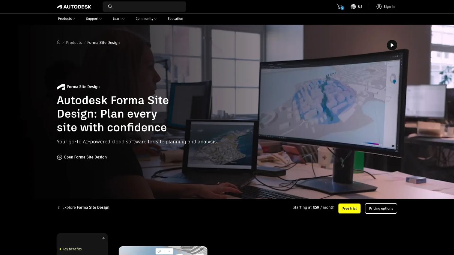
Autodesk Forma is a cloud-based AEC platform for site planning, building design, construction, and project operations. Its relevance for urban planning is strongest at the early-stage site analysis and massing phase, where teams explore contextual conditions and sustainability-related performance before downstream design work begins. Autodesk Forma connects to the broader Autodesk portfolio, so it fits best for firms already inside that workflow.
Best for: Architecture, design, and development teams that need cloud-based site analysis connected to a broader Autodesk design workflow.
Key features
- AI-powered site planning and layout automation
- Environmental analysis covering sun hours, daylight potential, and wind
- 3D massing, housing, line-building, parking, and floor-plan tools
- Site context modeling for early-stage conceptual work
- Connectivity to Autodesk project operations and construction tools
Why choose Autodesk Forma: It is the right choice for teams moving from early site planning into building design without switching platforms. Do not position it as a full municipal land-use platform; it performs best when the immediate job is site-level analysis rather than citywide zoning governance.
Autodesk Forma pricing: Forma Site Design starts at $59/month. Forma for Buildings is priced at $1,000/year. Some Forma bundles use quote-based pricing; contact Autodesk for packaging that includes both modules.
G2 rating: 5.0/5 on G2 (limited review volume, verify before citing in procurement context).
4. TestFit
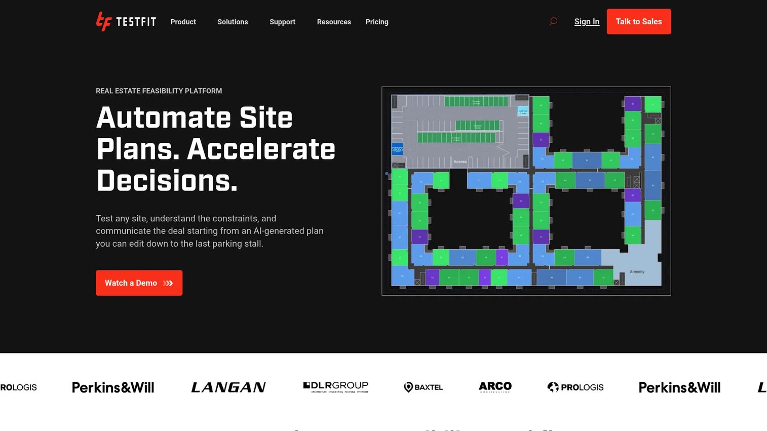
TestFit is a real estate feasibility platform that automates early site planning, focusing on multifamily, industrial, parking, and mixed-use development scenarios. It generates site layout alternatives and unit yield analysis within seconds, allowing development teams to compare options before committing design resources to any single scheme. The speed of iteration is the core value proposition.
Best for: Real estate developers, architects, brokers, and contractors who need rapid site feasibility answers before committing detailed design resources.
Key features
- AI-generated site and building design options
- Zoning, topography, flood-zone, and infrastructure data inputs
- Real-time pro forma and deal modeling
- Parking and circulation planning within site constraints
- Exports for Revit, AutoCAD, SketchUp, CSV, and PDF
Why choose TestFit: Choose it for the specific, recurring question of what fits on a site and whether it pencils financially. It is not a polished citywide visualization tool; it earns its place by reducing a repeatable early-stage bottleneck that development teams hit on every new land acquisition.
TestFit pricing: Parking Solver starts at $195/month (billed monthly). Site Solver starts at $15,000/year (billed annually), and Site Solver Portfolio starts at $20,000/year. Optional add-ons include Site Intelligence at $150/month, Pro Forma at $170/month, and MCP Connection at $100/month. No free tier is available.
G2 rating: 4.3/5 on G2.
5. ArcGIS CityEngine
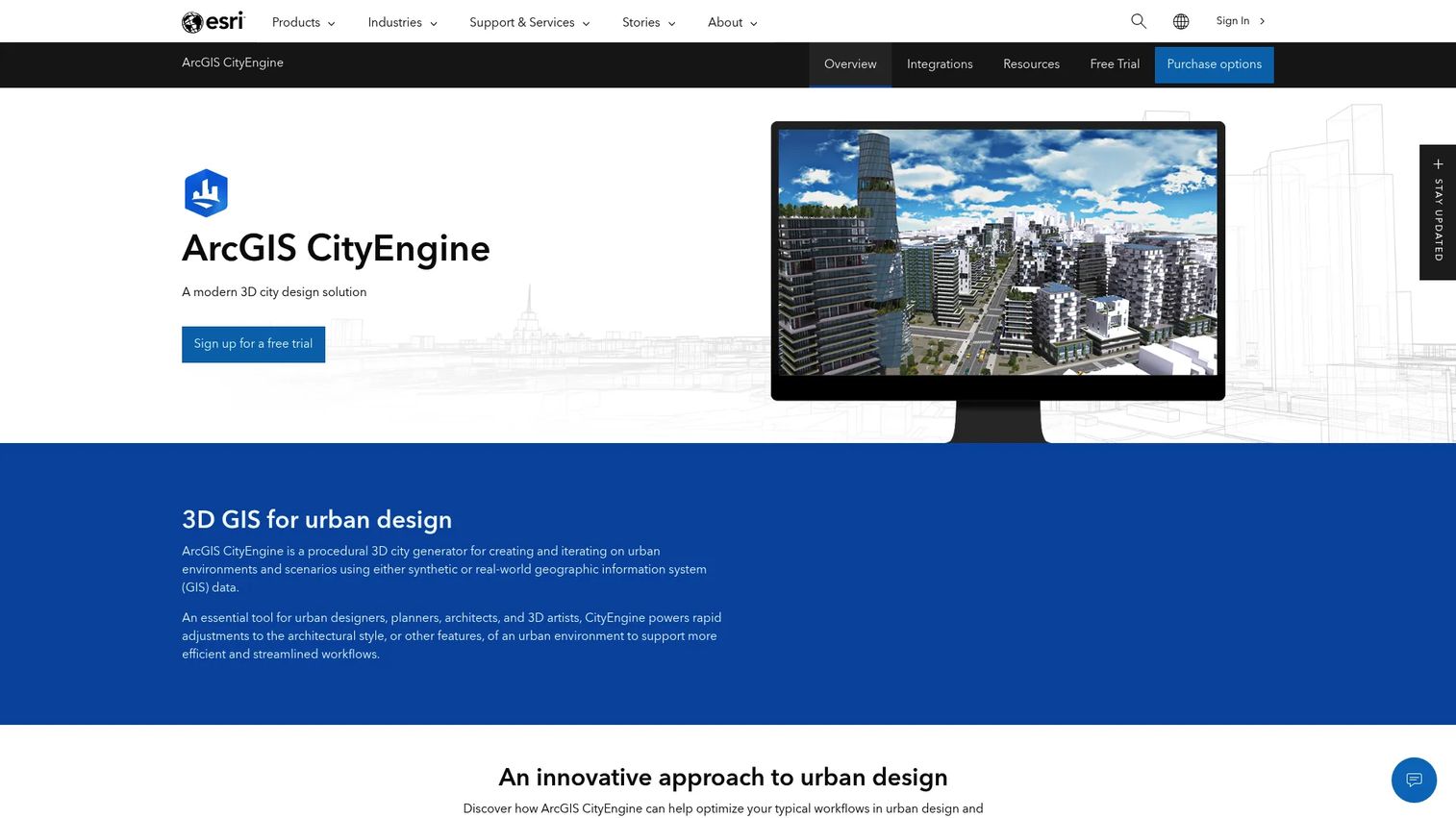
ArcGIS CityEngine is a procedural 3D city generator for creating and iterating on urban environments using real-world or synthetic GIS data. CGA rules, the Computer Generated Architecture scripting language, define how buildings, streets, and urban forms are generated from parameters. Change a rule, and the city regenerates. This is what separates CityEngine from manual 3D modeling: The 3D city is a function of editable logic, not a static file.
Best for: GIS professionals, urban designers, simulation teams, and 3D artists who need sophisticated procedural city models for analysis or visualization.
Key features
- CGA rule-based procedural urban modeling
- Basemap, terrain, shapefile, geodatabase, CAD, and BIM data import
- Scenario iteration and comparison across design variants
- Export to game engines and immersive VR/AR experiences
- Integration with the ArcGIS platform and ecosystem
Why choose ArcGIS CityEngine: It is the right tool when the team has technical modeling capacity and needs city-scale iteration across scenarios. As a founder lens, it illustrates how strong specialized capability can narrow an addressable user base: CityEngine is not a starting point for a planning department with no GIS background.
ArcGIS CityEngine pricing: CityEngine is available through ArcGIS Professional and Professional Plus user types. A 21-day free trial is offered. Contact Esri for user type pricing and ArcGIS deployment requirements.
G2 rating: 4.2/5 on G2.
6. MODELUR
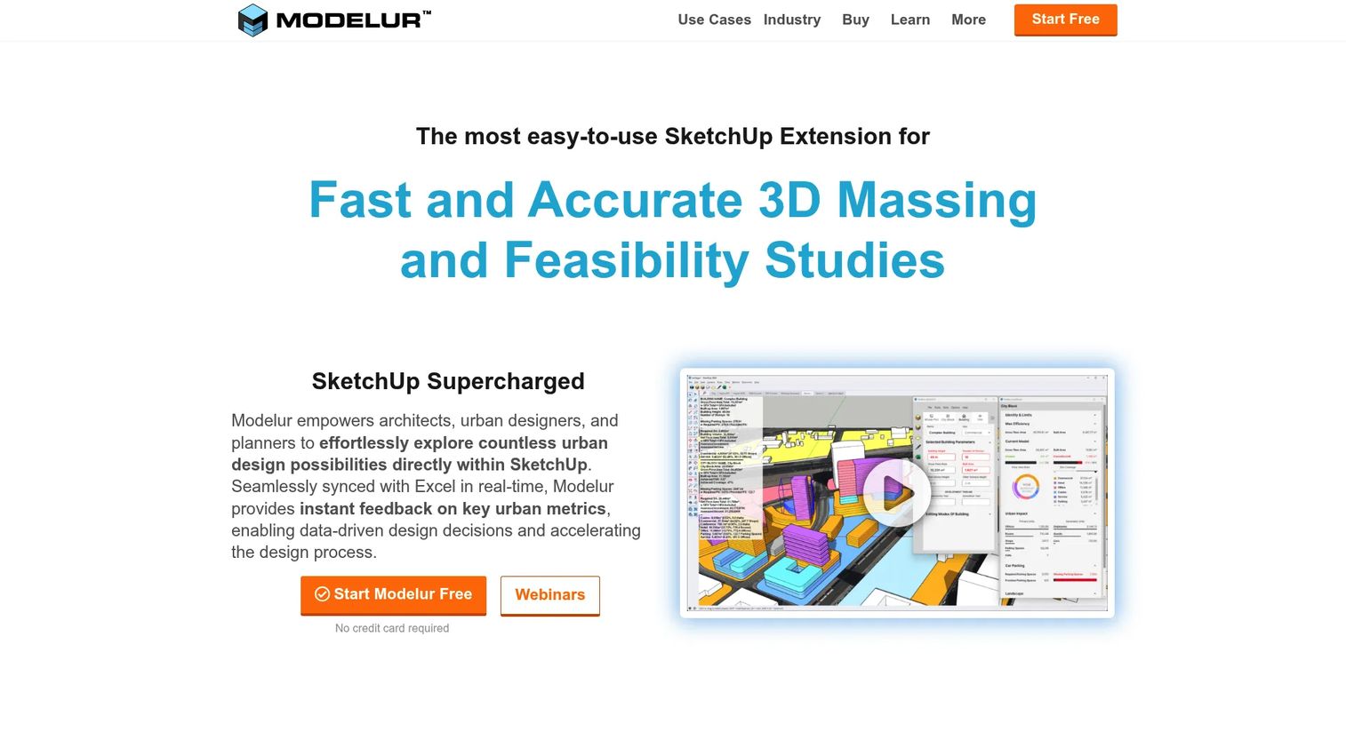
MODELUR is a data-driven urban design and massing extension for SketchUp and Rhino. It adds parametric urban design intelligence to the 3D modeling tools that architects and urban designers already know, surfacing metrics like floor area, density, floor-area ratio, parking requirements, and land-use compliance without requiring a separate GIS environment.
Best for: Architects and urban designers who already use SketchUp and need planning-grade metrics inside their existing modeling workflow.
Key features
- Parametric buildings and mixed-use massing modeling
- Real-time zoning compliance warnings and calculations
- GIS and OpenStreetMap import and export
- Financial and required-parking estimations
- Excel LiveSync for live metric export to spreadsheets
Why choose MODELUR: Choose it for design-led teams that need to quantify urban form without migrating to a GIS-first platform. The commercial free plan covers non-commercial use, which can help smaller studios evaluate fit before committing to a paid seat. From a go-to-market perspective, MODELUR is a strong example of ecosystem-led distribution: The buyer already has SketchUp and needs an extension, not a new platform.
MODELUR pricing: A free plan is available for non-commercial use. Commercial floating licenses run €149/seat/month (monthly), €98/seat/month billed quarterly, or €74/seat/month billed annually (€888/year). Prices exclude VAT.
G2 rating: 4.0/5 on G2.
7. StreetLight
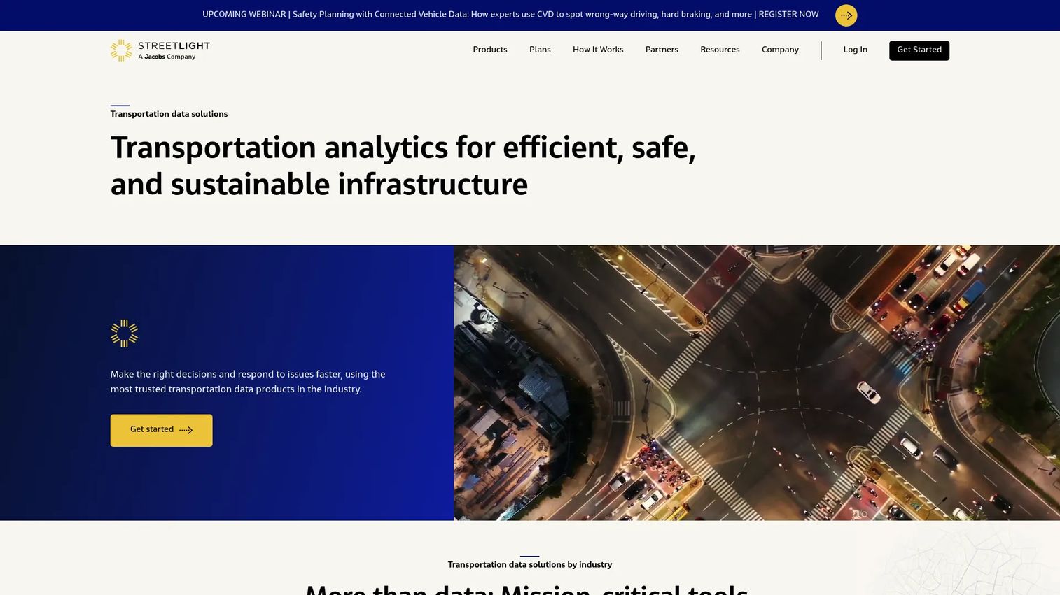
StreetLight provides transportation analytics and mobility data for measuring travel patterns, traffic, safety, emissions, and infrastructure demand. It uses location-based data to analyze how people actually move, turning observed behavior into corridor studies, origin-destination flows, pedestrian and bicycle metrics, and transportation planning dashboards.
Best for: Transportation agencies, engineering and consulting firms, and mobility teams that need observed travel behavior to inform infrastructure decisions.
Key features
- Traffic counts and vehicle miles traveled (VMT) analysis
- Origin-destination and routing analysis
- Intersection turning movement counts
- Pedestrian and bicycle metrics from mobility data
- API, CSV, ArcGIS, and web-platform data delivery
Why choose StreetLight: Choose it for movement data questions, not land-use scenario design. It complements GIS or 3D planning tools in a broader stack when transport performance must shape the planning recommendation. For founders, it shows how data products often sell into a narrow, high-value decision workflow rather than replacing broader software platforms.
StreetLight pricing: Contact StreetLight for plan recommendations or project scoping. The vendor does not display pricing publicly.
8. Replica
Replica is a privacy-preserving data platform for analyzing mobility, land use, economic activity, safety, and transportation networks. Its signature capability is synthetic population modeling: Generating statistically accurate representations of how a population moves across a region, including trip origin and destination flows, mode choice, and travel time.
Best for: Transportation planners and policy teams that need to test how infrastructure or policy changes may affect travel behavior across a population.
Key features
- Seasonal mobility data and trip analysis
- Daily movement and origin-destination flow data
- Roadway performance and speed metrics
- Safety and driver-behavior data
- Land-use, demographic, and economic-activity insights
Why choose Replica: The distinction from StreetLight is the modeling approach: Replica builds synthetic population representations for scenario analysis, while StreetLight primarily surfaces observed movement data. Choose Replica when the question requires modeling a population's response to a change, not just measuring existing traffic. From a go-to-market angle, it illustrates how methodology, data coverage, and public-sector trust shape the customer experience as much as product functionality does.
Replica pricing: Contact Replica for contract structure and public-sector program details. The vendor does not display pricing on its website.
9. UrbanFootprint
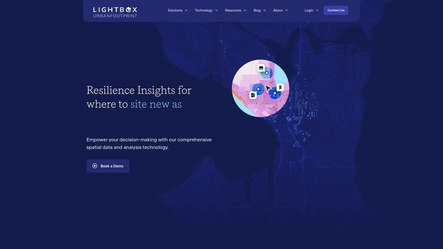
UrbanFootprint is a geospatial data and analytics platform for climate resilience, urban planning, infrastructure investment, and location decision-making. It offers parcel-level land-use, building, demographic, climate, and hazard data alongside scenario and policy analysis modules, making it relevant for long-range planning teams that need to connect place-based decisions with environmental and social outcomes.
Best for: Public agencies, regional planners, and resilience teams working on long-range land-use, infrastructure, and climate planning.
Key features
- Cloud-based GIS mapping and analytics
- Parcel-level land-use, building, demographic, and hazard data
- Climate risk mapping and sustainability indicators
- Scenario and policy analysis modules
- Equity and accessibility metrics for policy evaluation
Why choose UrbanFootprint: It fits long-range planning and policy analysis where the question spans climate exposure, land use, infrastructure, and social outcomes. For a founder evaluating the category, it is a clear case where data interpretation and services capacity shape the customer experience as much as product functionality does. Verify which modules or datasets require enterprise contracts before committing to a scope.
UrbanFootprint pricing: Contact UrbanFootprint for pricing. The vendor does not display plans or pricing on its website.
G2 rating: 4.4/5 on G2.
10. INRIX

INRIX provides transportation intelligence, mobility analytics, and real-time traffic and parking solutions for automotive, public-sector, logistics, and business customers. Its data products cover traffic speed and congestion, parking intelligence, curb and trip insights, roadway performance, and mobility APIs, focused on operational transport decisions rather than broad city modeling.
Best for: Cities, transportation agencies, and mobility teams managing congestion, roadway performance, parking, or curb operations.
Key features
- Real-time traffic monitoring and traffic intelligence
- Parking, curb, and EV parking analytics
- Trip, roadway, safety, signal, and location analytics
- Cloud-based applications and API data feeds
- Government and automaker-grade data coverage
Why choose INRIX: Choose it when the planning question centers on vehicles, network performance, curb demand, or parking supply. It is strongest for operational transport decisions and works well alongside land-use or design tools in a broader planning stack. INRIX offers a free INRIX IQ account; contact the vendor for product-level data subscription terms.
INRIX pricing: INRIX promotes a free INRIX IQ account entry point. Full product pricing requires contacting INRIX directly, as plans are not displayed publicly.
G2 rating: 4.5/5 on G2.
11. Placer.ai
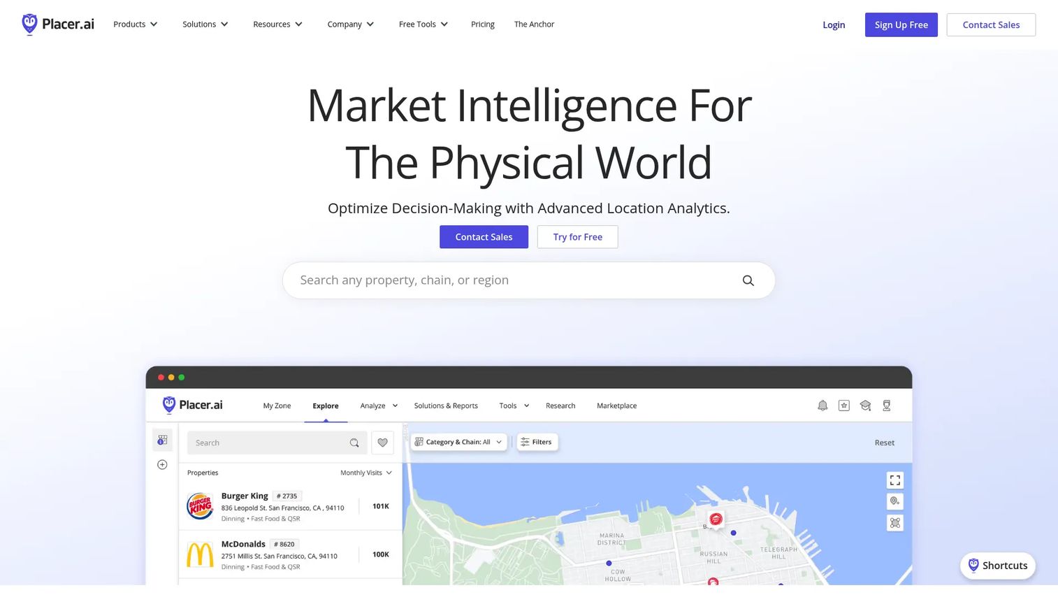
Placer.ai provides location intelligence and foot traffic analytics for understanding physical locations, visitors, markets, and consumer behavior. It is more useful for economic development, retail planning, site selection, and destination analysis than for zoning scenarios or infrastructure planning. The core questions it answers: Who visits this place, how often, from where, and what changed after a development or event.
Best for: Economic development teams, retail and mixed-use planners, and developers assessing real-world visitation patterns before committing to site selection or expansion.
Key features
- Visitation measurement and trend analysis
- Trade-area and audience insights
- Competitive benchmarking and chain or industry analysis
- Customer journeys and demographic profiles
- Interactive platform, API, and data feeds
Why choose Placer.ai: Choose it for demand-side evidence: Visit volume, audience composition, and competitive context. For a founder, it is directly useful for validating whether a location or market can support the product before committing to expansion, partnership, or bricks-and-mortar investment. A limited free tier is available; paid packages are configured through a personalized solution engagement.
Placer.ai pricing: A limited free version is available. Paid subscription packages are custom, configured through Placer.ai's sales team. Contact Placer.ai for pricing.
G2 rating: 4.3/5 on G2.
12. SketchUp
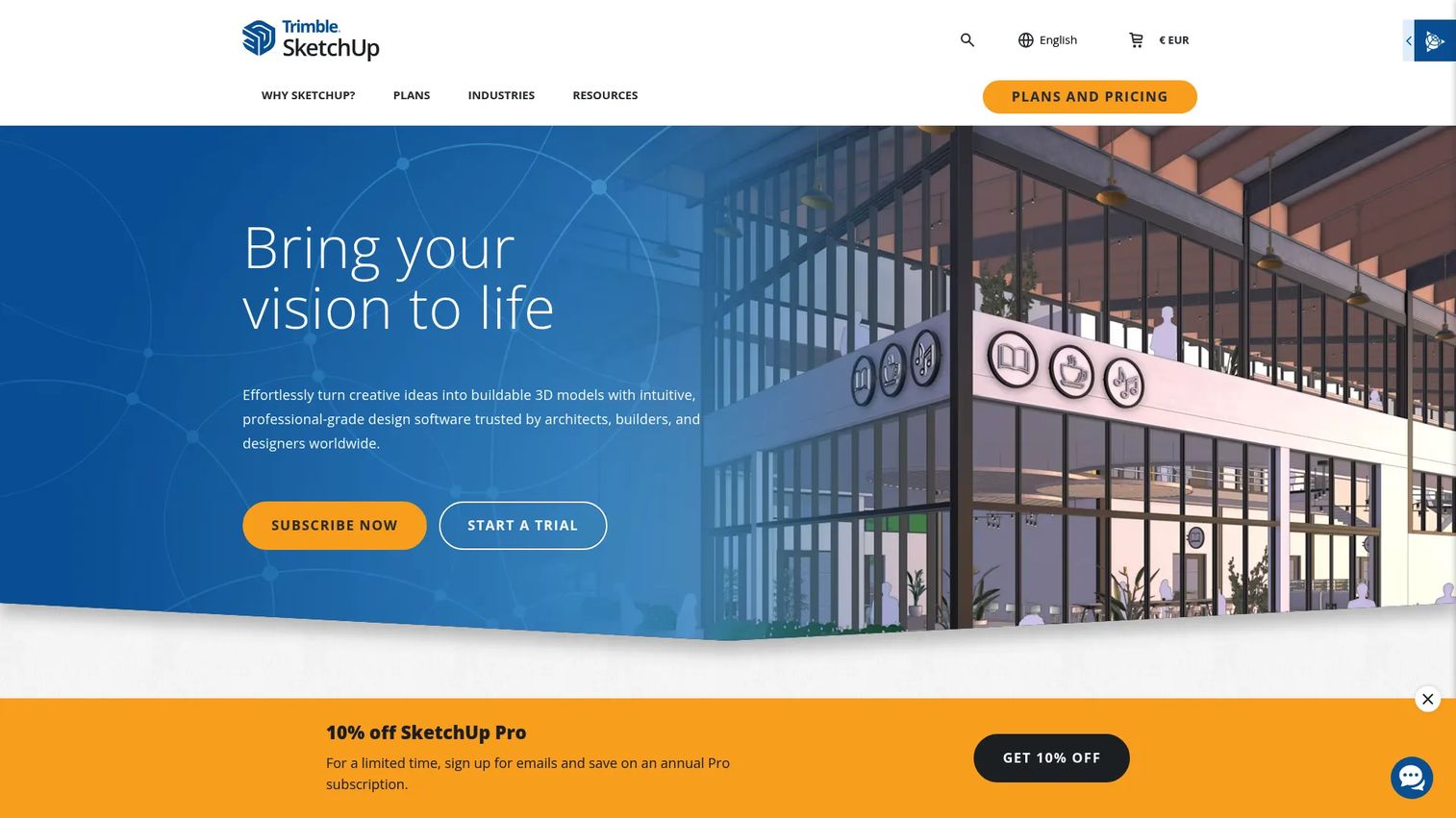
SketchUp is 3D modeling and design software for creating, documenting, visualizing, sharing, and collaborating on projects. In urban planning contexts, it serves conceptual massing, site studies, neighborhood modeling, and stakeholder visualization. It becomes more planning-specific when paired with extensions like MODELUR or discipline-specific data inputs, but its standalone value is accessible, fast 3D communication.
Best for: Smaller design teams, consultants, and early-stage concept work that needs clear visuals without a heavy GIS implementation.
Key features
- 3D modeling across web, desktop, and iPad
- 2D design documentation with LayOut
- 3D Warehouse component library access
- Rendering, presentation, and collaboration workflows
- Extension Warehouse for planning-specific add-ons
Why choose SketchUp: It is a strong visual communication and conceptual modeling tool. It is less suited when the project requires citywide scenario governance or transportation-grade data analysis. The reminder for any planning stack: Familiar, easy-to-adopt tools can outperform deeper platforms when the immediate job is communication rather than analysis.
SketchUp pricing: Go Annual starts at $10.75/user/month (billed annually). Pro Annual is $33.25/user/month (billed annually). Studio Annual is $71.58/user/month (billed annually). Specialized Pro plans for scan-to-3D, civil contractor, and advanced workflows are also available. A free web version exists for personal use; SketchUp for Schools is free with a qualifying education account.
Considerations when choosing urban planning software
Before signing a contract for any planning tool, run through this checklist with whoever will own the platform internally.
Match the tool to the planning decision
Start with the decision that repeats most often. Is it zoning capacity, site yield, transit access, traffic congestion, public consultation, or climate resilience? The category follows the decision, not the other way around. Buying a 3D design tool to solve a mobility data problem will produce attractive outputs that do not answer the actual question.
Audit your spatial and operational data
List the GIS layers, zoning records, parcel data, BIM files, and mobility data your team currently maintains and trusts. A platform that depends on data inputs you cannot keep current will become a dashboard no one relies on. Verify what the tool requires as inputs before evaluating what it produces as outputs.
Check interoperability before committing
Verify imports, exports, GIS connectors, BIM compatibility, and data standards support. Planning software must fit the records your team already treats as authoritative. An expensive scenario tool that cannot read your parcel database forces a parallel data maintenance burden that typically gets abandoned within a year.
Plan for stakeholder communication requirements
Some tools excel at technical analysis; others produce outputs a non-technical audience can engage with. Major planning decisions typically need both. Ask whether the output helps the person who makes the final call, not just the analyst who runs the model.
Model the full ownership cost
Include licenses, data subscriptions, training, implementation, GIS administration, and any consultant support in your cost calculation. For a founder evaluating a vertical SaaS investment in this category, the key question is whether a new tool removes enough repeated work to justify adding another system to a team's workflow. If the answer requires a six-month proof of concept to determine, the implementation cost is already part of the answer.
Conclusion
Urban planning is fragmented by design: Different decisions require different data layers, different outputs, and different owners. No single platform on this list covers the full planning stack.
For GIS-centered planning teams, ArcGIS Urban and ArcGIS CityEngine are the natural starting points. Development, design, and visualization workflows are best served by 3D Cityplanner, Autodesk Forma, TestFit, MODELUR, and SketchUp. Transportation and place-performance decisions point to StreetLight, Replica, INRIX, and Placer.ai. Long-range resilience and sustainability analysis belongs to UrbanFootprint.
The practical next step: Write down the planning decision that keeps getting delayed. Shortlist the two tools built for that specific decision, verify the data requirements against what your team actually maintains, and run one real scenario before signing a long contract. A tool that answers a real question quickly earns its place. One that produces impressive visuals disconnected from the decision it needs to support does not.
For founders mapping this space, the clearest signal of a well-positioned planning tool is whether it removes a recurring bottleneck rather than adding a new data silo. That test applies to your own product positioning as much as it does to your software stack decisions.
To see how data visualization and analytics platforms support adjacent stack decisions, explore those guides on the Guideflow blog.
Start your journey with Guideflow today!
FAQs
Municipal teams should prioritize GIS-native platforms that connect zoning, parcel, and land-use data to scenario modeling. ArcGIS Urban is the strongest fit for organizations already running Esri infrastructure. The most important evaluation criteria for a public-sector buyer are data governance, long-term maintainability, and the ability to produce stakeholder-facing outputs, not visual novelty.
GIS software manages and analyzes geographic data: Parcels, zoning, infrastructure, terrain, and demographics. Urban planning software may add scenario modeling, development feasibility, visual communication, or mobility analysis on top of a GIS data layer. Some planning tools, including ArcGIS Urban, are built directly on GIS data. Others, like TestFit or 3D Cityplanner, ingest GIS outputs but focus on a specific downstream planning task.
3D city planning software varies by purpose. ArcGIS CityEngine generates procedural city models from rules and GIS data. 3D Cityplanner produces parametric development scenarios with financial and environmental outputs. Autodesk Forma supports massing and site analysis for early-stage AEC work. SketchUp and MODELUR handle conceptual modeling and design communication. The right choice depends on whether you need design visuals, rule-based city generation, or parcel-level scenario comparison.
TestFit is the most focused feasibility tool on this list, with automated site layout generation, unit yield analysis, real-time pro forma modeling, and zoning constraint inputs. 3D Cityplanner adds financial feasibility modeling alongside its 3D scenario capabilities. Verify the model assumptions and zoning rules any tool applies before treating its output as a decision-ready number.
Yes. Mobility-focused platforms use travel behavior data, roadway metrics, synthetic population models, parking intelligence, or foot traffic data to answer transportation planning questions. StreetLight provides observed travel patterns and corridor analysis. Replica models how populations move under different policy scenarios. INRIX covers real-time traffic, parking, and curb data. These tools typically complement land-use and design software rather than replacing them.
Costs vary sharply by category. 3D design tools like SketchUp start at $10.75/user/month on annual billing, and MODELUR runs €74/seat/month (annual). Vertical platforms like TestFit start at $195/month for Parking Solver and $15,000/year for Site Solver. Municipal GIS, mobility intelligence, and resilience platforms, including ArcGIS Urban, StreetLight, Replica, INRIX, UrbanFootprint, and Placer.ai, all use enterprise or project-based pricing that requires direct vendor contact. Data subscription costs, training, and implementation often add meaningfully to the total.
Start with data availability: What spatial, zoning, and mobility data does your team actually maintain and trust? Then check integration requirements against the platforms you already use. Identify the internal owner who will run the tool week to week. Measure time to first useful scenario output, not time to demo. Warn against buying an enterprise GIS platform before your team has proven a repeatable planning workflow that a lighter tool could not support.
Yes. Resilience-oriented tools can analyze land use, environmental exposure, heat risk, infrastructure, emissions, and future development scenarios against climate projections. UrbanFootprint is the most focused platform on this list for resilience and long-range sustainability planning. Before presenting results as policy evidence, verify the underlying datasets, the publication dates of climate hazard layers, and the assumptions built into any scenario model.
StreetLight surfaces observed travel behavior using location-based data, making it strong for counting trips, measuring corridor performance, and analyzing existing movement patterns. Replica builds synthetic population models that simulate how a population responds to infrastructure or policy changes before they happen. Both are transportation planning tools, but they answer different questions: StreetLight is better for measuring what is happening now, while Replica is built for modeling what might happen next.