


You can draw a radius around a store in minutes. The hard part starts after that. Will the app detect entry in the background? Will an alert fire at the right time? Can your team explain the data collection practice clearly enough for privacy review?
The geofencing market reached $3.22 billion in 2025 and is projected to hit $11.85 billion by 2034, according to Fortune Business Insights (2026). The growth reflects real adoption across retail, logistics, and device management. But the category is fragmented. A developer SDK, a fleet telematics product, a device management console, and a location marketing platform all call themselves geofencing software. Evaluating them side by side without understanding those differences wastes engineering capacity and produces a platform mismatch.
The real decision is about event reliability, integration ownership, and what your team needs to trigger once a boundary is crossed. This guide maps the category before ranking vendors, so you can identify the right deployment model before committing to a pilot.
What's inside
This guide is built for product managers, engineering leads, and operations teams evaluating location tracking software for mobile apps, fleet workflows, device fleets, or compliance use cases.
- A 9-tool shortlist covering developer SDKs, fleet operations, device management, location marketing, and location verification
- Selection criteria: Geofence flexibility, event reliability, integration model, analytics depth, privacy controls, and pricing clarity
- Practical use cases: Mobile product experiences, asset tracking, fleet visibility, workforce rules, and jurisdiction checks
- A PM decision framework for shortlisting before committing engineering capacity
Tools were chosen for distinct geofencing jobs. No two platforms here do the same job.
TL;DR
- Best overall for mobile product teams: Radar, for high-accuracy location events, custom geofences, and developer-focused APIs
- Best free geofencing SDK: Woosmap Geofencing SDK, for teams adding geofence logic without SDK licensing costs
- Best for location marketing: Gimbal Location Platform, for place-based messaging, analytics, and app engagement
- Best for location verification: LocationSmart, for multi-source location intelligence and controlled-access workflows
- Best for construction operations: HCSS Telematics, for jobsite boundaries, equipment movement, and utilization reporting
- Best for managed device policies: Hexnode or Scalefusion, for IT teams enforcing location-based device controls
What is geofencing software?
Geofencing software creates virtual geographic boundaries and triggers an event when a device, vehicle, asset, or user enters, exits, or remains inside that boundary.
How geofencing software works
The workflow follows a consistent pattern across categories:
- Define a boundary using a radius, polygon, custom shape, or prebuilt place
- Collect device or asset location signals via GPS, Wi-Fi, Bluetooth, cellular, or IP
- Detect entry, exit, dwell, arrival, or movement conditions
- Deliver the event to an app, dispatch system, device policy engine, or analytics platform
- Measure whether the event produced the intended outcome
Core capabilities to look for
- Circle, polygon, and custom boundary creation
- Entry, exit, dwell, and arrival event detection
- Background mobile monitoring without app open
- Multi-signal location: GPS geofencing, Wi-Fi, Bluetooth, cellular
- SDKs, APIs, webhooks, and system integrations
- Location analytics and event logs
- Consent, privacy, retention, and access controls
- Offline behavior and battery management
The five types of geofencing software
Understanding category differences before comparing vendors saves weeks of misevaluation.
| Category | Primary job | Typical buyer |
|---|---|---|
| Mobile SDK and API | Build location-triggered product features | Product and engineering |
| Location marketing | Trigger campaigns or measure place visits | Marketing and growth |
| Fleet and telematics | Track vehicles, equipment, and jobsites | Operations and fleet teams |
| Device management | Enforce policies based on device location | IT and security |
| Location verification | Confirm presence within an approved area | Risk, compliance, and platform teams |
When to use geofencing software
Trigger product experiences at the right physical moment
Mobile geofencing fits curbside arrival, venue check-in, location-based onboarding, and personalized messaging. These use cases connect directly to PM metrics: Completion rate, reduced manual input, and activation lift. Design the permission consent flow before instrumentation, not after, since background location permission rates vary significantly by operating system and prompt timing.
Monitor fleets, field teams, and equipment
Entry and exit logs, jobsite boundaries, unauthorized movement alerts, and asset utilization data all depend on geofencing for fleet tracking and asset tracking. This category requires a telematics or dedicated device-tracking fit. A customer-app geofencing SDK will not produce the equipment utilization reports or mixed-fleet map views an operations team needs.
Apply location-based access and device rules
Workforce geofencing and device geofencing cover controlled access, jurisdiction checks, managed device workflows, and location-based restrictions. Privacy, employee notice, and regulatory requirements vary by jurisdiction and employer type. Bring legal and security stakeholders into the evaluation before any development begins.
Quick decision tree:
- Building a mobile app feature? Start with an SDK or API
- Managing vehicles or equipment? Start with telematics
- Governing employee devices? Start with an MDM platform
- Verifying location for risk control? Start with location intelligence
Geofencing software comparison
This shortlist spans five different deployment models. Match your use case first, then compare technical depth and pricing. A marketing platform cannot replace a fleet telematics product, and an MDM console is not a substitute for a mobile SDK.
Pricing and G2 ratings verified October 2026 from each vendor's official pricing page and G2 listing.
| # | Product | Best for | Key differentiator | Pricing | G2 rating |
|---|---|---|---|---|---|
| 1 | Radar | Mobile product teams needing high-accuracy location events | Custom polygons, place visits, trip tracking, fraud detection | From $0.02/tracked user/month | 4.7/5 |
| 2 | Woosmap Geofencing SDK | Retail and mobile teams building location experiences | Free geofencing SDK within a broader retail location stack | Free SDK; platform usage pricing varies | 4.4/5 |
| 3 | Gimbal Location Platform | Location-based customer engagement and messaging | Geofences, beacons, messaging, and place analytics | $499/month (Pro) | 3.8/5 |
| 4 | LocationSmart | Location verification and regulated workflows | Multi-source location intelligence and Smart Zone APIs | Contact sales | N/A on G2 |
| 5 | Roam.ai Geofencing API | Developers building custom mobile location products | Location APIs with free tier and background tracking | Free plan available; paid pricing contact vendor | N/A on G2 |
| 6 | Mapbox | Teams needing maps plus custom geospatial logic | Mapping platform with geospatial building blocks | Free tier; usage-based pricing thereafter | 4.3/5 |
| 7 | HCSS Telematics | Construction jobsites and heavy equipment | Custom jobsite boundaries, utilization, and telematics | Contact sales | N/A on G2 |
| 8 | Hexnode | IT teams enforcing location-based device controls | MDM policies, compliance rules, and geofencing | From $2.20/device/month | 4.5/5 |
| 9 | Scalefusion | Managed mobile and field device fleets | Device geofencing, kiosk mode, and policy automation | From $2.00/device/month | 4.7/5 |
Best 9 geofencing software tools for 2026
1. Radar
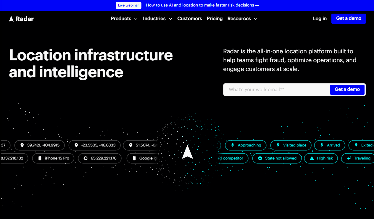
Radar is an all-in-one location platform covering geofencing, maps, geocoding, routing, location verification, fraud detection, and real-time trip tracking. It serves consumer, retail, restaurant, gaming, logistics, and financial services products. Teams can draw circle, polygon, and isochrone geofences, detect place visits across points of interest, and track trip events like pickup and delivery arrival.
Best for: Product teams building location-triggered behavior into a mobile app or customer experience at scale.
Key features
- Custom circle, polygon, and isochrone geofences
- Entry, exit, and dwell event detection with real-time alerts
- Place visit detection across millions of points of interest
- Trip and arrival tracking for delivery and mobility apps
- Fraud detection, geo-compliance, and location verification APIs
Why choose Radar: Radar covers the full location infrastructure stack in one platform, which reduces the need for separate geocoding, mapping, and geofencing vendors. It fits product roadmaps where location is a reusable capability, not a one-off feature.
Radar pricing: Radar uses annual commitment pricing across product lines. The Engage plan (location-based messaging and audiences) starts at $0.02 per monthly tracked user. The Protect plan (fraud and compliance) and Optimize plan (trip and workforce tracking) each start at $0.04 per monthly tracked user. Radar does not currently offer a permanent free tier.
G2 rating: 4.7/5 (18 reviews, verified October 2026)
PM evaluation note: Radar reduces custom infrastructure work for location features, but requires intentional mobile permission design and event instrumentation ownership from the start of development.
2. Woosmap Geofencing SDK
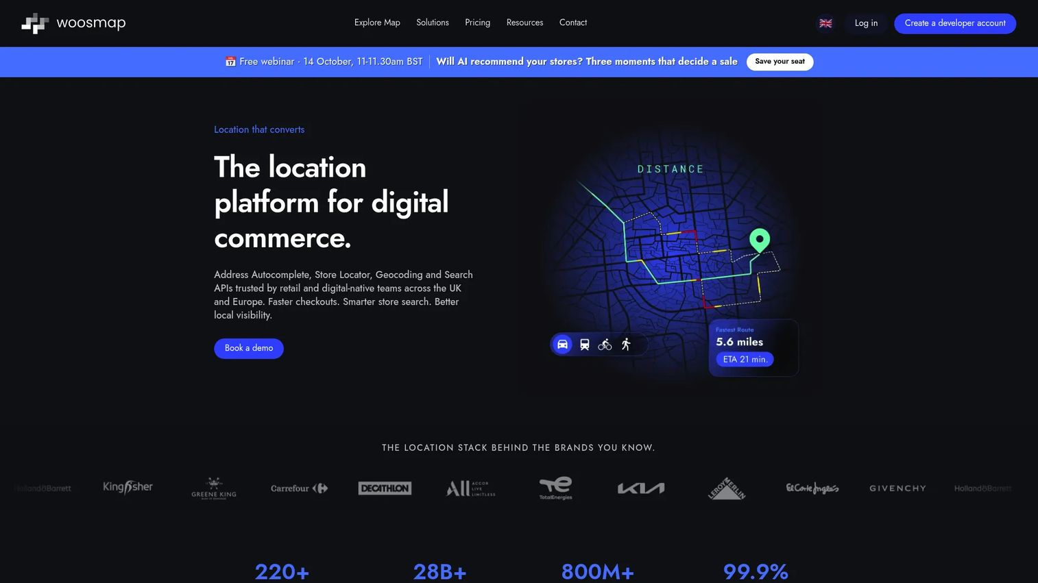
Woosmap Geofencing SDK is a cross-platform mobile SDK for tracking user locations, monitoring geofences, and triggering location-based actions. It supports iOS, Android, Flutter, React Native, and Cordova. The SDK is offered at no cost under its license terms and includes distance-based, time-based, and recurrent geofence types. Broader Woosmap products add maps, store search, routing, and indoor capabilities.
Best for: Product and engineering teams combining geofencing with store search, delivery zones, or retail location features.
Key features
- Free mobile geofencing SDK with no per-SDK licensing fee
- Four tracking profiles balancing location accuracy and battery consumption
- Background location tracking with entry and exit events
- Privacy-focused: Location data stored locally on device where applicable
- iOS, Android, Flutter, React Native, and Cordova support
Why choose Woosmap Geofencing SDK: The free SDK makes it a strong starting point when a roadmap also needs store locator, routing, or distance calculations. Stack consolidation under one vendor reduces integration overhead.
Woosmap pricing: The geofencing SDK itself is free. The broader Woosmap platform uses Free, Pro, and Enterprise plans based on API consumption. The Free plan includes up to 10,000 API requests per month. Pro and Enterprise pricing is usage-based; specific rates are not fixed figures on the public pricing page. Prices are listed in EUR.
G2 rating: 4.4/5 (verified October 2026)
PM evaluation note: The free SDK lowers the barrier to pilot, but broader platform API costs scale with query volume. Model expected call volume across store search, geocoding, and geofencing before committing to a tier.
3. Gimbal Location Platform
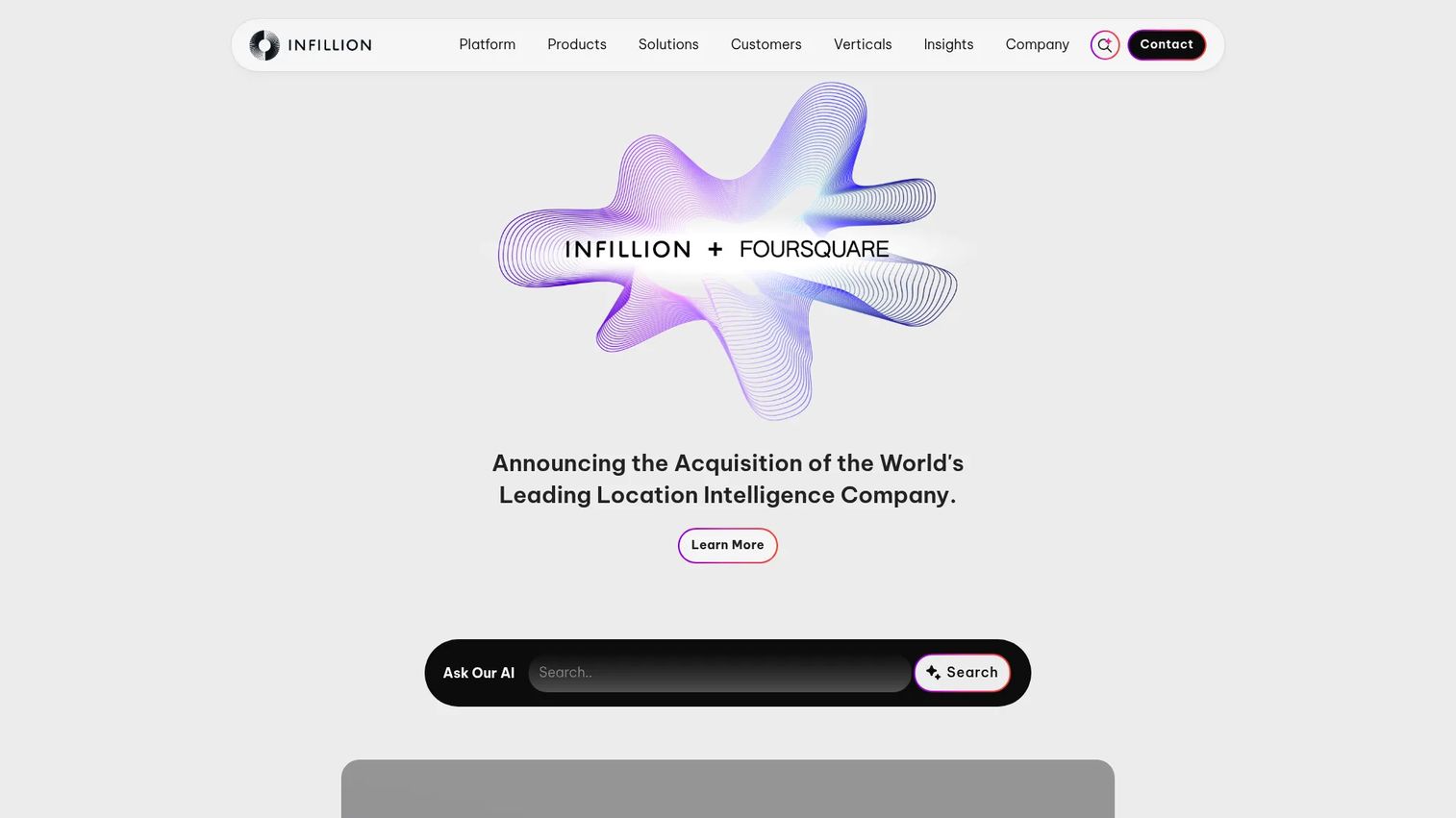
Gimbal is a location intelligence platform combining radial and polygonal geofencing, Bluetooth beacon proximity, location-triggered push messaging, place analytics, and REST API access. It targets retail, hospitality, venue, event, and brand app use cases where the outcome is customer engagement at a physical location. Gimbal is now part of Infillion.
Best for: Mobile marketing and product teams that need geofence events connected to customer messaging and place-visit analytics.
Key features
- Radial and polygonal geofencing with entry, exit, and dwell triggers
- Location-triggered push campaigns with time and dwell controls
- Bluetooth Low Energy beacon proximity support
- Place analytics and visitation reporting
- REST API access for downstream integrations
Why choose Gimbal Location Platform: Pick it when the primary outcome is customer engagement at a store, venue, or event rather than fleet telemetry or MDM enforcement. The combined geofence-plus-messaging model reduces the need for a separate campaign orchestration layer.
Gimbal pricing: The Pro package runs $499/month and includes 1,000 active Places, 10,000 active users per month, 25,000 Place Visits per month, and 1,000 active Beacons. Higher-volume enterprise packages are available on request.
G2 rating: 3.8/5 (verified October 2026)
PM evaluation note: Design notification frequency rules and permission prompts carefully before launch. Notification trust erodes quickly if geofence-triggered messages arrive too frequently or outside relevant windows.
4. LocationSmart
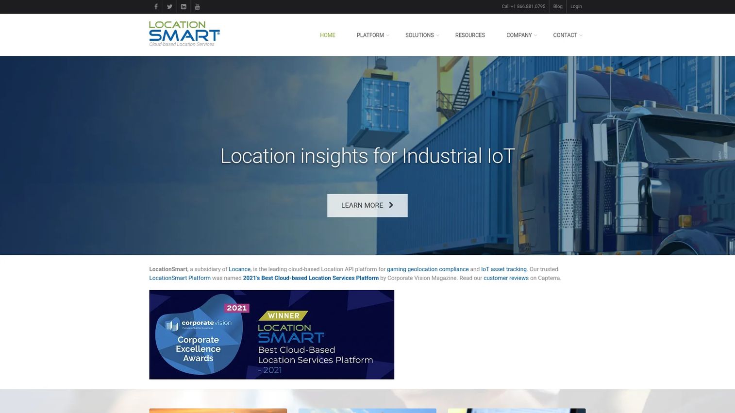
LocationSmart is a cloud-based location API platform providing multi-source device location across cellular, Wi-Fi, and fixed connections. Its Smart Zone geofencing APIs, device profiling, and high-assurance location workflows serve gaming geolocation compliance, IoT asset monitoring, supply-chain visibility, and fraud prevention. The platform reaches over 200 countries without requiring GPS or app installation on the target device.
Best for: Teams that need location verification or fraud controls as the primary outcome, alongside geofencing.
Key features
- Smart Zone geofencing APIs for controlled-access and compliance workflows
- Multi-source location signals: Cellular, Wi-Fi, and fixed network
- Device profiling and real-time identity and risk verification
- IoT and M2M tracking across 200-plus countries
- Mobile app SDKs, browser JavaScript SDK, and customer reporting portal
Why choose LocationSmart: It fits products where the location signal affects access, eligibility, risk scoring, or transaction approval. The multi-source approach covers devices that lack GPS or app installation, which is important for IoT and enterprise asset monitoring.
LocationSmart pricing: LocationSmart does not display pricing on its website. Contact the sales team for a quote. No G2-reported pricing range was available at the time of verification.
PM evaluation note: Location verification products that affect access or transaction approval require security, privacy, legal, and risk stakeholders early in the evaluation. Do not treat this as a purely technical procurement.
5. Roam.ai Geofencing API
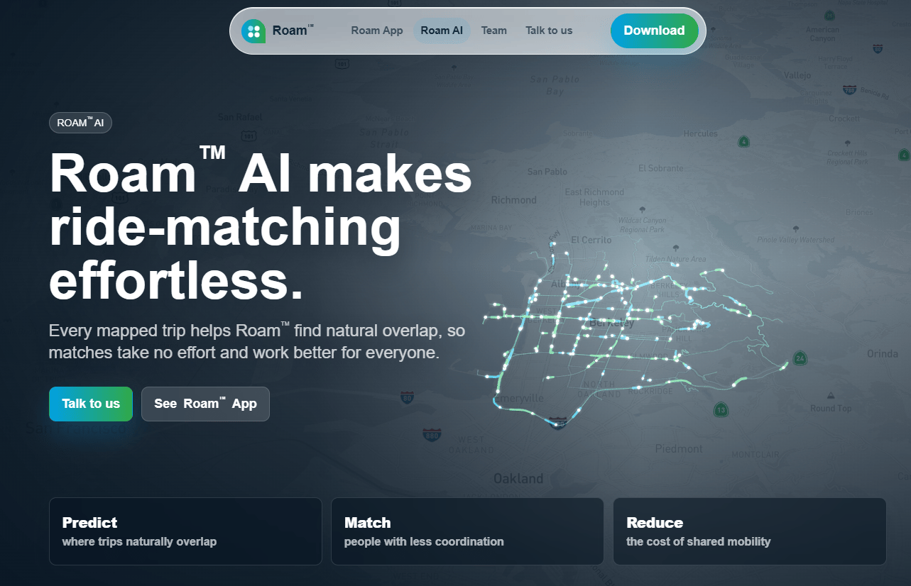
Roam.ai provides location SDKs and APIs for continuous location tracking, geofencing, trip tracking, and location insights. It targets developers building mobile applications that need background location behavior, custom geofence logic, and trip summaries. The platform supports React Native and other mobile frameworks and documents a free plan with 10,000 location updates.
Best for: Engineering-led product teams building custom tracking and geofence logic into mobile apps.
Key features
- Mobile geofencing APIs for entry, exit, and dwell events
- Continuous battery-optimized background location tracking
- Trip tracking and route summarization
- Location insights including home, work, and points of interest detection
- Webhooks and developer integration tools
Why choose Roam.ai Geofencing API: Choose it when engineering needs lower-level building blocks for a custom location experience rather than a packaged platform. The documented free plan allows testing before committing to paid volume.
Roam.ai pricing: Roam.ai documents a free plan covering 10,000 location updates. Paid pricing was not available on a verifiable first-party pricing page at time of verification. Contact the vendor for current plan names, tracked user limits, and event quotas.
PM evaluation note: Factor in developer capacity, mobile operating system constraints, and the cost of sustained event volume when estimating total implementation and ongoing maintenance cost.
6. Mapbox
Mapbox is a location platform for building maps, navigation, search, and custom geospatial experiences. It is not a packaged geofencing product. Teams use Mapbox building blocks, maps, geocoding, polygon drawing, routing, and geospatial data processing, then build event detection logic in their own application code. It suits products where map rendering and spatial customization are central to the user experience.
Best for: Product teams that need full control over map experience and geospatial data, with engineering capacity to build the event detection layer.
Key features
- Customizable map rendering for web and mobile applications
- Geocoding, address autofill, and points-of-interest search
- Polygon drawing, custom map styling, and hosted tilesets
- Navigation with routing and traffic-aware travel times
- Usage-based APIs across Maps, Navigation, Search, and Data products
Why choose Mapbox: Choose it when the map experience is a core product surface and your team can build or integrate the geofence event detection layer. Mapbox gives the most control over spatial data but requires more engineering investment than a dedicated geofencing SDK.
Mapbox pricing: Mapbox uses pay-as-you-go pricing with free tiers across many products. Specific rates vary by product line and usage metric. Individual support plans start at $50/month. Business support plans run 10% of monthly spend with a $500/month minimum. Contact Mapbox for volume discounts and annual commitment pricing.
G2 rating: 4.3/5 (verified October 2026)
PM evaluation note: Mapbox increases engineering control and implementation scope compared with a dedicated geofencing SDK. Account for the build time and release cadence impact when comparing against packaged location platforms.
7. HCSS Telematics
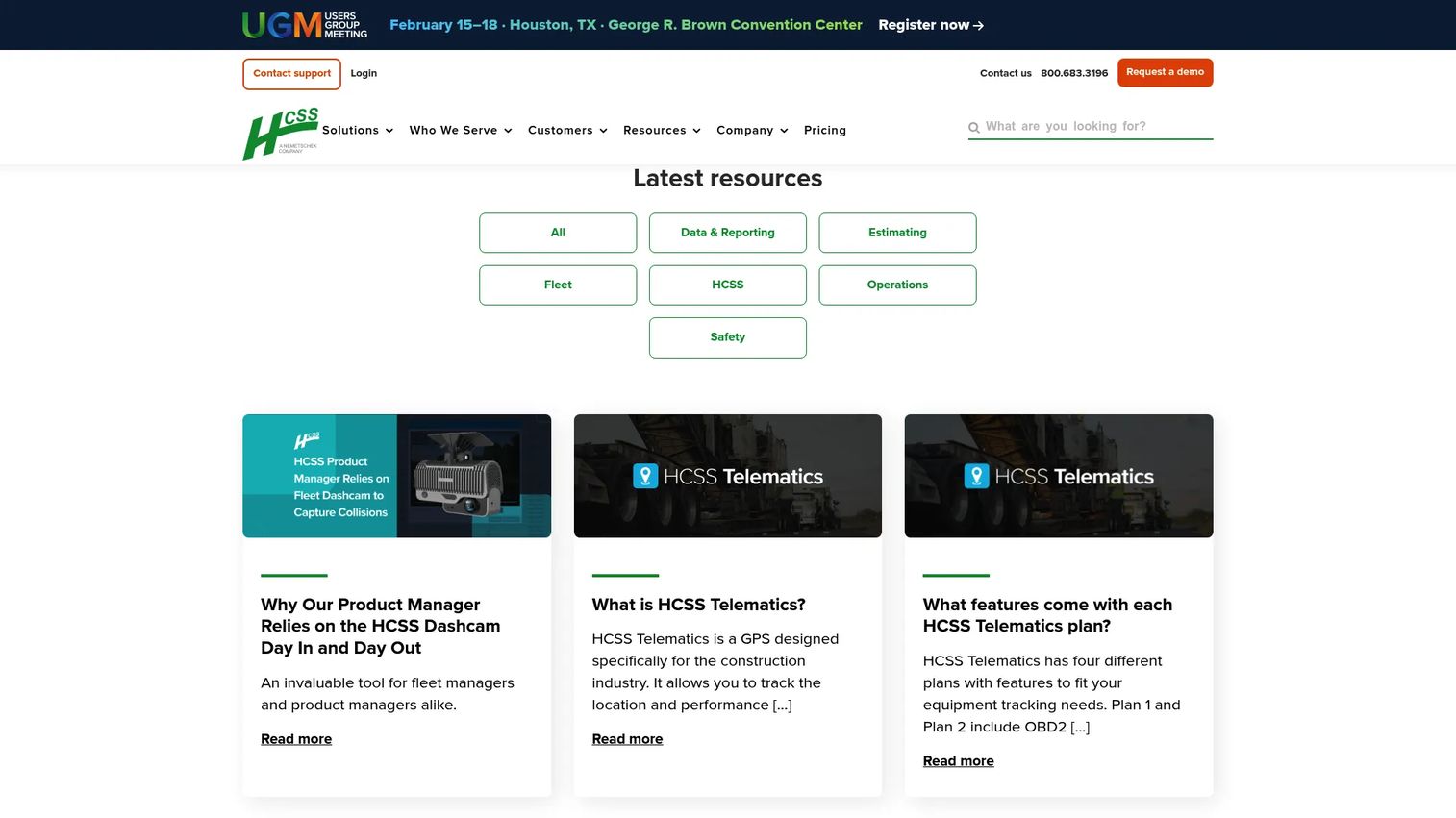
HCSS Telematics is GPS and telematics software for tracking construction equipment, monitoring fleet data, and generating operational alerts. It supports custom jobsite boundary drawing, equipment entry and exit reports, off-hours movement alerts, and equipment utilization data. HCSS Telematics integrates with other HCSS products including Dispatcher, Equipment360, HeavyJob, and FuelerPlus.
Best for: Construction operations teams tracking equipment, crews, material flow, and jobsite boundaries.
Key features
- Custom irregular jobsite boundary creation
- Real-time equipment location with mixed-fleet map view
- Equipment entry and exit reports with timestamps
- Off-hours movement alerts for theft prevention
- Integration with HCSS Dispatcher, Equipment360, HeavyJob, and FuelerPlus
Why choose HCSS Telematics: Strong fit when geofencing must connect to job costing, equipment utilization, and field operations data rather than a customer-facing mobile app. The native integration with HCSS workflows reduces the system-of-record integration burden.
HCSS Telematics pricing: HCSS uses custom quote pricing. No figures are displayed on the pricing page. Contact HCSS directly for asset count, module, and implementation cost details.
PM evaluation note: Evaluate whether field-captured location data will be trusted enough to inform job costing and operational decisions. System-of-record integration quality is the key validation step for construction telematics.
8. Hexnode
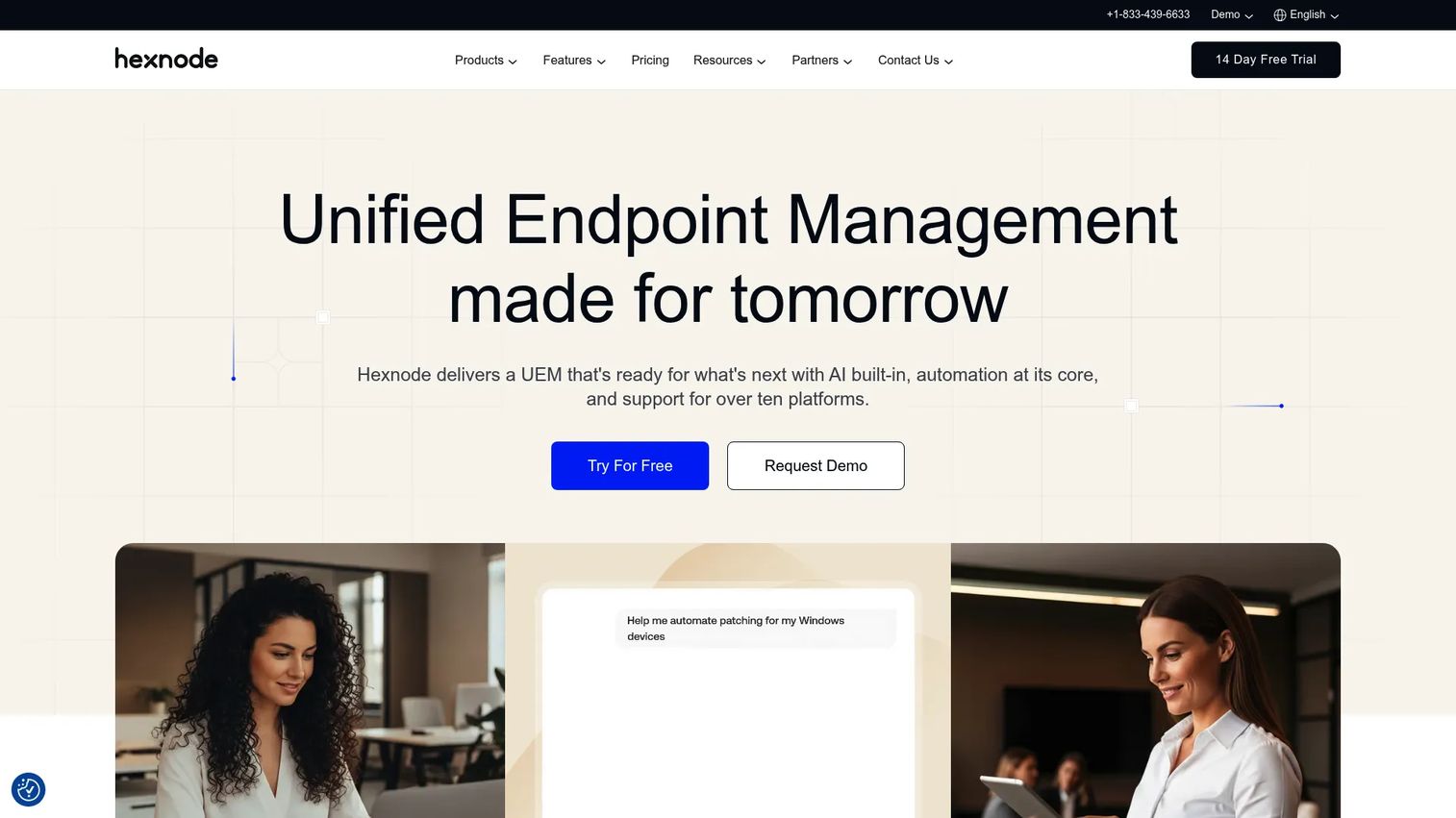
Hexnode is a unified endpoint management and security platform for managing desktops, mobile devices, kiosks, IoT devices, and wearables. Its geofencing capability enforces location-based compliance rules, restricts device behavior outside approved areas, and generates alerts when managed devices leave defined boundaries. Hexnode supports Android, iOS, macOS, Windows, tvOS, and FireOS.
Best for: IT and security teams managing corporate mobile devices with location-aware policies across a distributed workforce.
Key features
- Device location tracking and map view across managed endpoints
- Geofence-based compliance rules and automated policy triggers
- Kiosk mode and field device controls for single-purpose deployments
- Remote device view and control with policy and alert automation
- Zero-touch enrollment and OS patch management
Why choose Hexnode: Pick it for managed device governance when location is one signal in a broader endpoint policy framework. The cross-platform support reduces tool sprawl for IT teams managing mixed device fleets.
Hexnode pricing: Pro starts at $2.20/device/month. Enterprise is $3.20/device/month. Ultimate is $4.70/device/month. Ultra requires a pricing request. A 14-day free trial is available. Annual billing carries a 10% saving.
G2 rating: 4.5/5 (verified October 2026)
PM evaluation note: Define ownership boundaries between product, IT, security, and employee privacy stakeholders before deployment. Device geofencing in employee-owned or BYOD contexts requires separate policy design from corporate-owned device programs.
9. Scalefusion
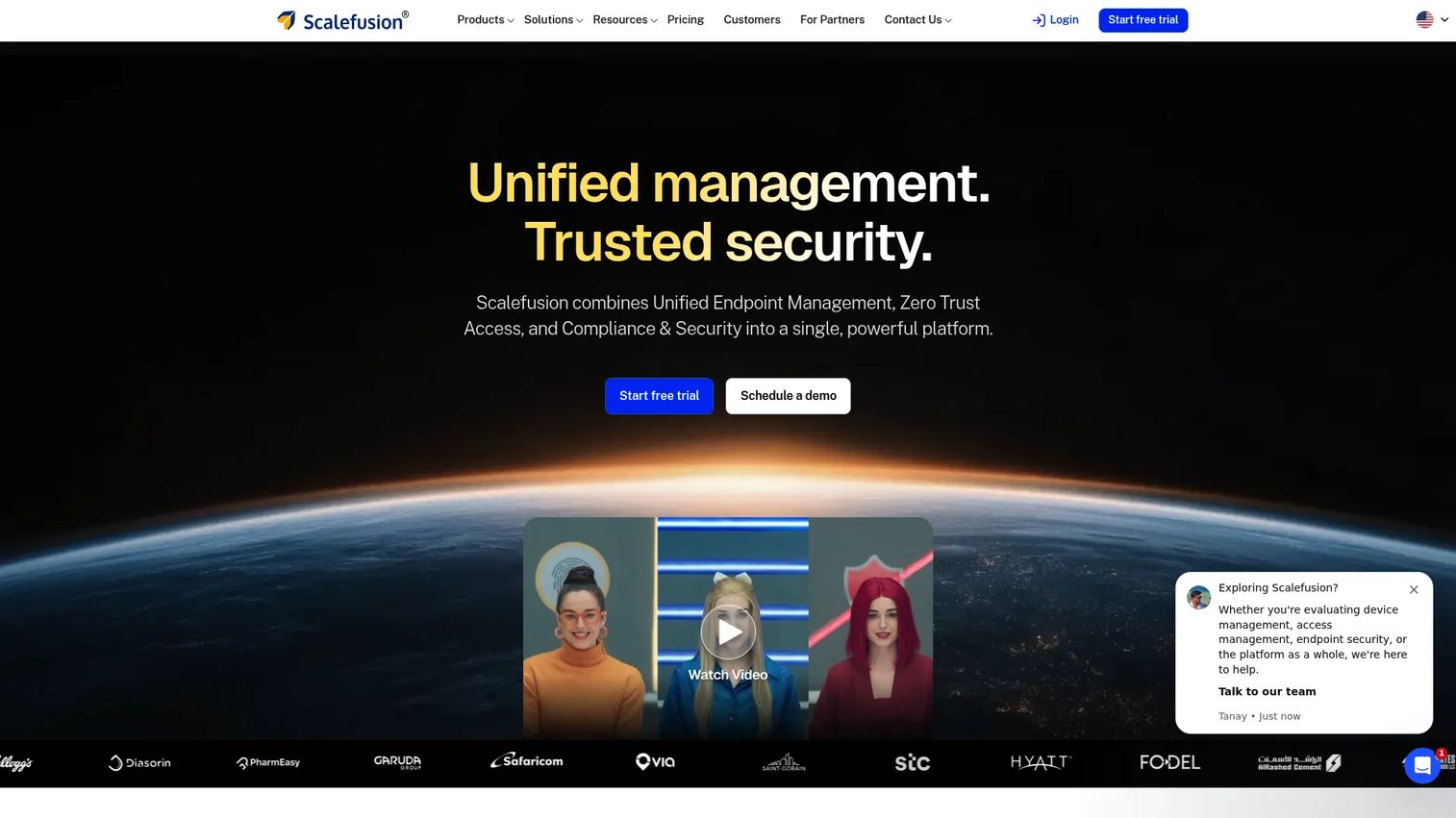
Scalefusion is a unified endpoint management platform for managing mobile, desktop, kiosk, and rugged devices across distributed teams. Its geofencing capability monitors device location, enforces location-based policies, and generates alerts when devices operate outside approved areas. Scalefusion supports logistics, retail, education, healthcare, and field operations contexts.
Best for: Organizations managing shared, frontline, or field devices that need location-based rules within a broader endpoint management program.
Key features
- Device location monitoring and geofence policy controls
- Kiosk mode management for single-purpose field deployments
- Remote troubleshooting, patch management, and reporting
- Application and content management for managed devices
- Alerts for devices operating outside defined geofence boundaries
Why choose Scalefusion: Consider it when location policies need to sit inside an operational device management program that also handles kiosk mode, app management, and remote support. It reduces the need for separate MDM and location tracking tools.
Scalefusion pricing: The Essential plan is $2.00/device/month (billed at $24 annually). Growth is $3.50/device/month ($42 annually). Business plans start at $5.00/device/month ($60 annually). A minimum of 10 devices applies. A free trial is available.
G2 rating: 4.7/5 (verified October 2026)
PM evaluation note: Evaluate rollout effort, device enrollment model, and how location policy exceptions will be handled before deployment. Employee communication plans matter as much as technical configuration for field device programs.
Considerations when choosing geofencing software
Match the platform to the event you need
A curbside arrival event and a construction equipment movement alert both use virtual boundaries. They require different data quality, integration patterns, and operational controls. Start with the decision your product or team must make after the event fires, then work backward to the platform type.
Validate accuracy in your actual environment
Do not accept a generic accuracy claim. Test outdoors, indoors, in dense urban buildings, in low-connectivity areas, and at your real boundary sizes. Measure false entries, missed exits, delayed events, and duplicate triggers. Geofence accuracy depends on device hardware, operating system version, GPS conditions, boundary size, and signal availability.
Design the consent and privacy model before integration
Location collection affects user trust and may require app permission flows, data retention rules, employee policies, and security review. Bring legal, privacy, and security stakeholders into the evaluation before development begins. This step is especially important for workforce geofencing and any context involving personal devices.
Model event volume and pricing at peak, not average
Pricing may depend on monthly tracked users, API calls, active devices, geofence visits, fleet assets, or hardware. A product launch, seasonal traffic spike, or expanded field fleet can change costs significantly. Model peak event volume before selecting a pricing tier.
Assign ownership before launch
Identify who owns geofence definitions, event monitoring, alerts, release validation, and stale boundary cleanup. A location workflow fails quietly when a store closes, a jobsite moves, or an app release changes permission behavior. Ownership gaps are the most common cause of geofencing reliability problems after the initial deployment.
How to choose the right geofencing software for your team
If you are building a mobile product feature
Start with Radar, Woosmap Geofencing SDK, or Roam.ai Geofencing API. Radar covers the broadest set of location capabilities in a single platform. Woosmap fits teams already planning store locator or retail location features. Roam.ai suits engineering teams that need lower-level building blocks for a custom implementation.
If you are running location-based engagement campaigns
Shortlist Gimbal Location Platform. Prioritize message controls, campaign analytics, permission opt-in rates, and the ability to measure incremental visits or activation. Check the geofencing marketing software category for tools that combine the trigger and the messaging layer.
If you are managing assets, fleets, or construction operations
Evaluate HCSS Telematics for construction and heavy equipment workflows. Its connection to HCSS job costing and dispatch makes it the strongest fit for that context. For broader asset inventory visibility or location verification requirements, investigate LocationSmart's multi-source approach.
If you are enforcing corporate device rules
Evaluate Hexnode and Scalefusion together. Confirm operating system support, device enrollment model, and location policy flexibility. Both start below $3.00/device/month for entry tiers and include free trials. Factor in employee communication and exception-handling workflows as part of the selection.
Conclusion
The category split in this shortlist matters more than the individual feature lists. Radar is the strongest broad option for developer-led mobile location experiences. Woosmap Geofencing SDK suits retail and commerce teams who want a free SDK within a broader location stack. Gimbal serves location-based engagement and campaign measurement. LocationSmart fits high-assurance verification contexts. HCSS Telematics is built for construction and heavy equipment. Hexnode and Scalefusion handle managed device policies.
Before booking vendor demos, write down the specific event you need, the action it should trigger, the accuracy threshold required, and who owns the workflow after launch. That one-page summary will remove at least half the platforms from your shortlist before any technical evaluation begins.
Next steps:
- Define one production use case and the downstream action it triggers
- Estimate peak event volume, not average volume
- Test location reliability in the real physical environment
- Review consent, privacy, and data retention requirements with legal
- Pilot against a measurable outcome before full deployment
Start your journey with Guideflow today!
FAQs about geofencing software
GPS tracking records or displays a device or asset's location over time. Geofencing software creates rules around a defined boundary and triggers an automated action when a device enters, exits, or dwells inside that area. Many platforms combine both capabilities, but they address different operational needs. You can use GPS tracking without any geofence logic, and you can build geofences without continuous location logging.
Accuracy varies by device hardware, operating system permissions, GPS signal conditions, Wi-Fi and Bluetooth availability, boundary size, and whether the environment is indoors or outdoors. A city-radius boundary tolerates more error than a curbside arrival detection zone. Run field tests in your actual deployment environment and measure false entry rate, missed exit rate, and event latency rather than relying on a vendor's general accuracy claim.
Background geofencing is possible through native mobile operating system capabilities on iOS and Android. Reliability depends on the user's permission settings, battery optimization mode, app architecture, and the operating system version. Engineering should test across all supported devices and OS versions. Some operating systems throttle background location access aggressively, which can delay or suppress entry and exit events.
Most platforms support circular radius geofences, polygon geofences, and custom drawn shapes. Some offer routes, place-based boundaries linked to a database of points of interest, and jurisdiction or exclusion zones. Polygon geofencing matters for irregular shapes like jobsites, stadium footprints, campus perimeters, and store layouts where a circle would include out-of-scope areas.
It can support field operations and device policy workflows, but employers need clear written policies, appropriate notice to employees, limited data collection scope, and documented retention rules. Requirements vary by jurisdiction, employment type, and whether devices are employer-issued or personally owned. This is a legal and HR question, not only a technical one. Consult legal and privacy counsel before implementation.
Pricing models differ by category. Mobile SDK platforms charge per monthly tracked user or per API call. Device management tools charge per enrolled device per month. Fleet telematics products typically use custom quotes tied to asset count and hardware. Location marketing platforms may charge per active place, active user, or place visit. Build your cost model around peak event volume and required integrations rather than the entry-tier headline price.
Many mobile-oriented geofencing platforms can trigger a downstream push notification when a geofence event fires. The geofence event and the notification delivery are separate capabilities: The platform detects the crossing and passes the event to a messaging layer, which handles delivery, opt-in status, frequency capping, and content. Measure notification permission rates, opt-out rates, and downstream action rates separately from raw geofence trigger counts.
Measure trigger delivery rate, false positive rate, missed event rate, and event latency first. Then track user-level outcomes: Permission opt-in rate, workflow completion rate, and retention impact for app-based geofences. For operational contexts, measure dispatch response time, unauthorized movement alert accuracy, and support ticket volume change. Establish a baseline before launch so you can isolate the geofence's contribution to each outcome.