

You can lose months on a renewable project before anyone admits the site was wrong. A parcel looks cheap and available until grid access fails the economics. A site clears early screening, then stalls on wetlands or jurisdictional constraints. A solar or wind opportunity looks strong until slope, transmission distance, or queue congestion changes the math entirely.
The problem is not a lack of data. It is that the data lives in too many places: GIS layers, public datasets, spreadsheets, and consultant reports that nobody has time to reconcile before capital moves. According to Lawrence Berkeley National Laboratory (2026), U.S. interconnection queues held 2,061 GW of generation and storage capacity at the end of 2025, a figure that reflects how much competition now surrounds every viable site. Getting to the right answer faster than the team across the table is a capital allocation advantage.
The question is not which map looks best. The question is which tool helps your team stop chasing sites that will never pencil out.
What's inside
This guide compares 15 energy site selection software platforms for 2026, chosen for energy-specific workflows, geospatial depth, and coverage across grid, land, environmental screening, and project-stage fit. Pricing and G2 ratings reflect verified data from vendor sites and G2 listings.
- Who it is for: Renewable developers, GIS teams, land acquisition teams, utilities, and infrastructure operators
- How tools were chosen: Category relevance, energy-specific data depth, and workflow coverage from origination to diligence
- What we compare: Best use case, key differentiator, pricing, G2 rating
- What to verify before buying: Data coverage by geography, pricing by seat count and module, integrations, and regional fit
TL;DR
- Best overall for early energy project screening: Paces, because it combines site search, grid constraints, permitting context, and feasibility ranking in one developer workflow
- Best for renewable project origination: dvlp.energy, because it centers renewable development workflows around site discovery and pipeline prioritization
- Best for environmental and permitting risk: Transect, because it helps teams screen land risk before expensive diligence spend
- Best for PV design handoff: PVcase Prospect (G2: 4.4/5), because it connects solar prospecting to downstream design workflows and has a verified G2 rating
- Best for broad energy market intelligence: Enverus PRISM, because it ties siting decisions to asset, infrastructure, and market data
- Best for onsite energy planning: VECKTA, because it evaluates distributed and behind-the-meter energy options with no-cost entry pathways
What is energy site selection software?
Energy site selection software helps developers, utilities, and infrastructure teams identify, screen, compare, and prioritize locations for energy assets. It uses geospatial, land, grid, environmental, and project economics data to do the work that would otherwise require stitching together public GIS datasets, consultant reports, and internal spreadsheets.
The category is broader than generic site selection software and more specialized than standard GIS tools. It commonly overlaps with project origination, land intelligence, grid interconnection analysis, environmental permitting due diligence, and feasibility modeling. Teams typically reach for these platforms before major capital is committed.
Key capabilities
- GIS and geospatial mapping: Parcel boundaries, terrain, slope, wetlands, roads, substations, protected areas
- Land and ownership data: Parcels, owner records, acreage, zoning, title signals, acquisition workflow tracking
- Grid and interconnection context: Substations, transmission lines, hosting capacity, queue risk, proximity analysis
- Environmental and permitting screening: Floodplains, wetlands, habitat, cultural resources, jurisdictional constraints
- Site scoring and ranking: Weighted criteria, risk flags, ROI signals, project-stage scoring
- Data integration: Public datasets, proprietary datasets, internal project records, third-party layers
- Workflow management: Notes, pipeline tracking, approvals, due diligence, handoffs
The best platforms do not just show where land exists. They help teams decide which opportunities deserve the next dollar of diligence. For founders evaluating or building in this category, that distinction is the product decision: Data display versus decision support.
When to use energy site selection software
Screen sites before land spend
Teams can rule out parcels before LOIs, consultant spend, and engineering review. Run a site through acreage, slope, zoning, grid proximity, and environmental constraint filters before anyone talks to a landowner. This is where bad sites get killed cheaply, and it is where most teams currently lose time by working through GIS files manually.
Compare grid and interconnection risk
Substations, transmission capacity, queue congestion, and hosting capacity can turn a promising site into a dead end. Platforms with grid-specific data help teams sort by interconnection reality, not just land availability. For solar, wind, and battery storage projects, grid constraints often decide the deal before engineering does.
Prioritize a project pipeline
Founders and operators running energy businesses often face too many possible sites and not enough development bandwidth. Site selection software with scoring, ranking, and workflow tracking across regions, asset types, and deal stages helps direct that bandwidth toward the highest-probability opportunities. This is capacity planning applied to project origination.
Energy site selection software comparison
The table below is a starting point for routing to the right tool, not a final procurement decision. Pricing and G2 ratings were verified from vendor sites and G2 listings; several platforms in this category use sales-led pricing with no published numeric figures. Use the "Best for" and "Key differentiator" columns to route to the deeper section for each tool.
| # | Product | Best for | Key differentiator | Pricing | G2 rating |
|---|---|---|---|---|---|
| 1 | Paces | Early energy project screening | Combines land, grid, permitting, and feasibility in one workflow | Contact sales | N/A |
| 2 | dvlp.energy | Renewable project origination | Renewable development workflow from site discovery to pipeline | Contact sales | N/A |
| 3 | Nira | Interconnection and transmission capacity | ISO-accurate substation capacity and upgrade-cost modeling | Contact sales | N/A |
| 4 | Transect | Environmental and permitting due diligence | Fast land-risk screening before expensive diligence | Contact sales | N/A |
| 5 | PVcase Prospect | Solar prospecting and PV handoff | Connects prospecting to PV design workflows | Contact sales | 4.4/5 |
| 6 | RatedPower | Utility-scale solar feasibility and design | Solar plant layout automation and energy yield | Contact sales | 4.4/5 |
| 7 | Enverus PRISM | Energy market intelligence | Broad energy asset, infrastructure, and market analytics | Contact sales | N/A |
| 8 | Landgate | Land and parcel intelligence | Parcel, ownership, and power-market data for energy siting | Contact sales | N/A |
| 9 | Latapult | GIS mapping and land evaluation | Custom GIS workflows with 250+ data layers; starts at $149/mo | From $149/mo | N/A |
| 10 | GridCARE | Grid capacity and power delivery | AI-powered grid capacity analysis for utilities and AI data centers | Contact sales | N/A |
| 11 | Pivvot | Infrastructure and route analysis | Spatial risk analysis across 500+ geospatial datasets | Contact sales | 3.5/5 |
| 12 | SearchLand | UK property and planning intelligence | UK parcel, planning, and ownership data with public pricing | From £195/mo | N/A |
| 13 | Spottitt MF | Satellite-based site monitoring | Earth observation and AI analytics for infrastructure assets | From €7,000 POC | N/A |
| 14 | Caeli Wind | Wind site marketplace | Connects UK landowners and wind developers via digital tender | Free site check | N/A |
| 15 | VECKTA | Onsite and distributed energy planning | No-cost screening plus RFP and supplier marketplace | Free Screener tier | N/A |
Best 15 energy site selection software tools for 2026
1. Paces
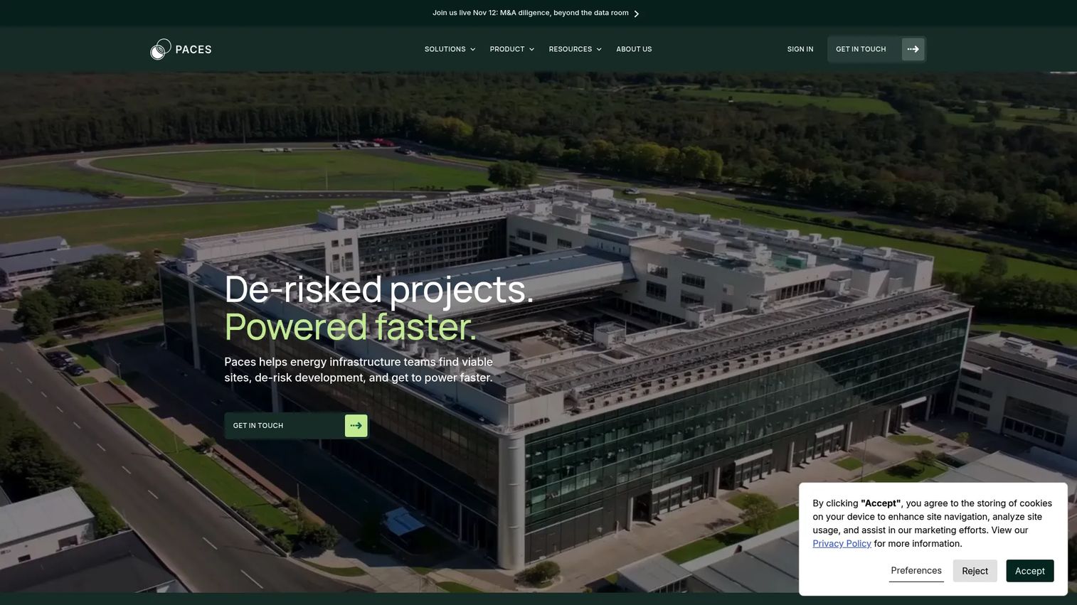
Paces is an AI-powered software and data platform for clean energy infrastructure development. It helps developers screen millions of parcels, visualize environmental, permitting, and grid constraints in integrated map layers, and manage project pipelines from origination through site control. The platform combines software with expert-validated diligence reports and optional services for origination, permitting submission, and interconnection.
Best for: Renewable energy, utility, and data-center development teams that need to compare many sites against grid, permitting, and feasibility criteria before committing development resources.
Key features
- Search millions of parcels with custom filters and automated screening
- Visualize environmental, permitting, and grid constraint layers on integrated maps
- Manage project pipelines from origination through site control
- AI-enabled development workflows with expert-validated diligence reports
- Optional services: Origination, permitting, and interconnection submission
Why choose Paces: Choose Paces when your team is burning development time on sites that fail on grid or permitting constraints later in the cycle. It fits teams that want faster access to a credible shortlist, not a blank map with disconnected layers.
Paces pricing: Paces prices through sales. Ask about plan details, data coverage by region, seat count, and whether the qualified-offer for a free modular diligence report (valued at $8,000) applies to your organization.
2. dvlp.energy
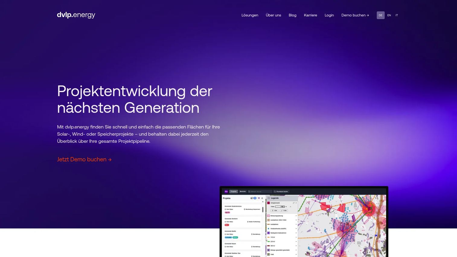
dvlp.energy is a cloud-based GIS platform built specifically for solar, wind, storage, and other renewable energy project development. It covers site finding and assessment with aerial imagery, 3D models, and ownership-data retrieval, alongside grid-connection analysis and partner matching through its GridConnect module. Teams can access the platform on mobile, and projects are stored with commenting and automated review reports.
Best for: Clean energy teams building and ranking renewable project pipelines, particularly those with Germany-focused or European development activity.
Key features
- Site finding with ownership-data retrieval, aerial imagery, and 3D models
- Project pipeline management with saving, commenting, and automated review reports
- Grid-connection analysis and developer partner matching via GridConnect
- Cloud access for distributed teams, including mobile
- Search and analysis tools purpose-built for renewable project origination
Why choose dvlp.energy: It fits teams that want renewable development context built into the workflow rather than a generic GIS workspace configured from scratch. The energy-specific data layers and pipeline management tools are built for origination-stage decisions.
dvlp.energy pricing: dvlp.energy prices through sales and mentions a free trial on the website. Ask about plan details by region, project volume, user count, and data coverage before requesting access.
3. Nira
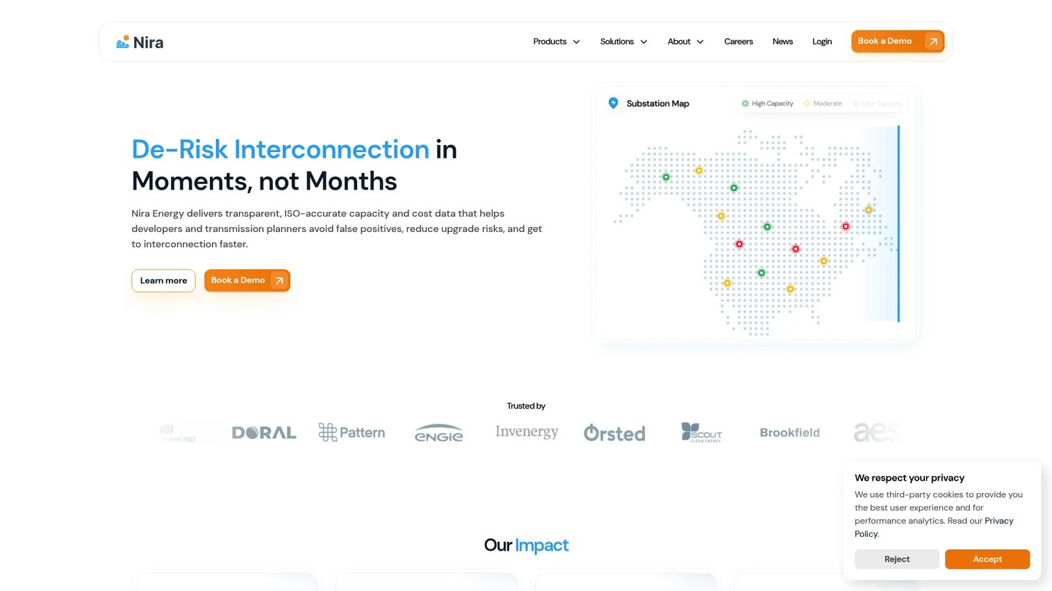
Nira is a transmission capacity and interconnection intelligence platform for energy developers, utilities, ISOs, and large energy users. Its differentiator is ISO-accurate modeling: Real-time substation capacity data, queue-position analysis, upgrade-cost modeling, and scenario sensitivities that replicate ERIS and NRIS study outputs. For teams where interconnection cost and timing are the first feasibility gate, Nira is purpose-built for that question.
Best for: Energy developers and transmission-planning teams who need faster, lower-risk interconnection and site-selection analysis before deeper project diligence.
Key features
- Real-time substation capacity and upgrade-cost data for site prospecting
- Queue-position analysis and upgrade-cost modeling
- ISO-aligned ERIS and NRIS study replication
- Automated scenario analysis for transmission planning
- Interconnection risk signals at the site level
Why choose Nira: Choose Nira when transmission capacity and interconnection cost are the primary feasibility filter and your team needs ISO-accurate data rather than rough proximity estimates. It is a narrower tool than a full site selection platform, and that focus is the point.
Nira pricing: Nira prices through sales. Ask about data coverage, onboarding, user seats, and what interconnection geographies and ISO regions are included before booking a demo.
4. Transect
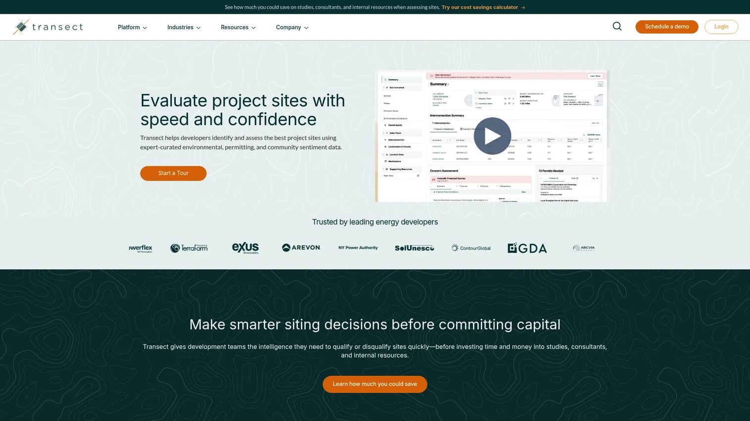
Transect provides environmental risk screening and renewable energy site assessment. The platform delivers expert-curated environmental, permitting, and community-sentiment data alongside interactive map layers, buildable-area analysis, and in-house regional environmental expert consultations. It also runs a marketplace for environmental due-diligence services, so teams can move from screening to vendor engagement without leaving the platform.
Best for: Renewable energy and land-development teams that need to identify environmental and permitting risk before deeper engineering or acquisition spend begins.
Key features
- Environmental and permitting risk screening at the parcel level
- Buildable-area analysis with permit pathway context
- Interactive map layers for wetlands, habitat, and jurisdictional constraints
- In-house regional environmental expert consultations
- Marketplace for environmental due-diligence services
Why choose Transect: Choose Transect when environmental risk is the question that can kill a project before economics or engineering ever come into play. It is a strong fit for teams that want to audit land risk early, not discover it after an LOI.
Transect pricing: Transect uses subscription-based pricing available through a demo or direct contact. Ask about package details by report volume, user count, geography, and project type.
5. PVcase Prospect
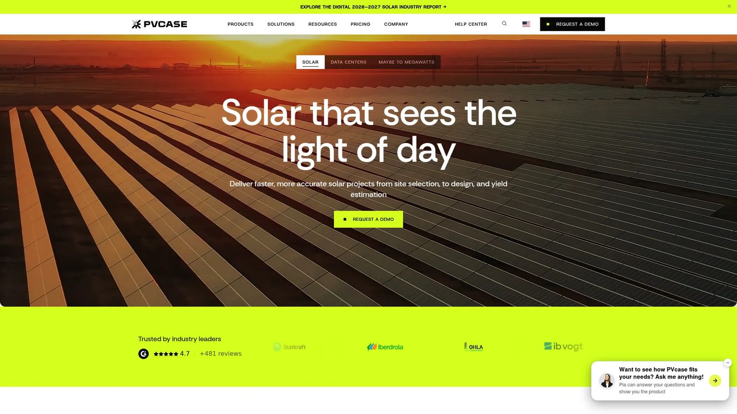
PVcase Prospect is cloud-based GIS software for identifying, evaluating, and de-risking renewable energy project sites. It covers grid infrastructure mapping with hosting-capacity data, parcel search with landowner and zoning information, buildable-area and environmental analysis, and project pipeline management. For teams already using PVcase for solar design, Prospect connects prospecting to downstream engineering workflows through a shared ecosystem.
Best for: Solar developers that want prospecting to connect directly to PV project design, with grid, parcel, and permitting data in one platform.
Key features
- Grid infrastructure mapping and hosting-capacity data
- Parcel search with landowner information and zoning analysis
- Buildable-area, permitting, and environmental analysis
- Project pipeline management with GIS imports and exports
- Interconnection capacity, power-market, and data-center analysis
Why choose PVcase Prospect: PVcase Prospect earns its place when the siting workflow needs to connect directly to downstream solar design and engineering decisions. Teams already in the PVcase environment get the clearest workflow continuity.
PVcase Prospect pricing: PVcase offers Essentials, Professional, and Premium plans, all priced through sales. Ask about Prospect module access, seat count, and contract terms for each tier.
G2 rating: 4.4/5 (41 reviews on G2 at time of publication).
6. RatedPower
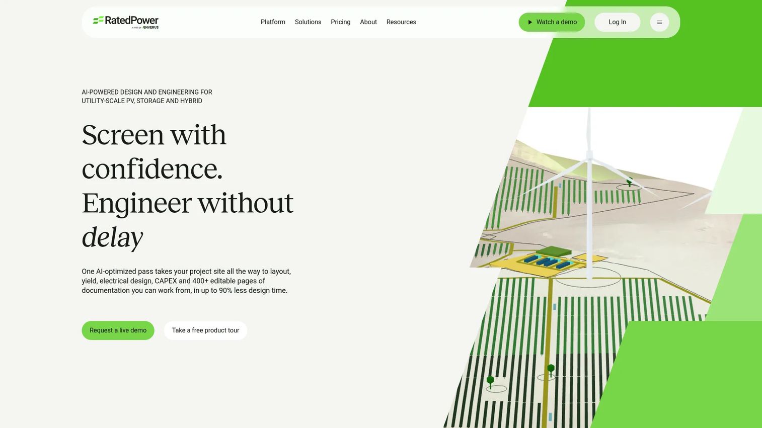
RatedPower, an Enverus platform, is software for utility-scale solar PV, BESS, hybrid, and related engineering workflows. It is more design and feasibility oriented than a pure site discovery tool. The platform covers PV layout automation, 2D/3D energy-yield assessment, BESS and hybrid design, AI-driven design optimization through its Power Analyst feature, and detailed PV engineering with editable layouts. Site analysis and prospecting capabilities are available on the Enterprise tier.
Best for: Solar developers, EPCs, IPPs, utilities, and engineering firms that need technical feasibility and design automation after initial site identification.
Key features
- Utility-scale PV layout and 2D/3D energy-yield assessment
- BESS, hybrid, and standalone-storage design
- AI-driven layout optimization with Power Analyst
- Detailed PV engineering with editable layouts
- Site analysis and prospecting (Enterprise tier)
Why choose RatedPower: Reach for RatedPower when the question moves from "where can we build?" to "what can we build on this land, and what will it yield?" It is an engineering-depth tool, not an origination tool, which makes it most valuable once a site has cleared early screening.
RatedPower pricing: RatedPower uses a per-company subscription with unlimited users, projects, and designs across Basic, Advanced, and Enterprise tiers. All pricing is through sales. Ask about which tier includes the site analysis and prospecting features relevant to your workflow.
G2 rating: 4.4/5 on G2 at time of publication.
7. Enverus PRISM
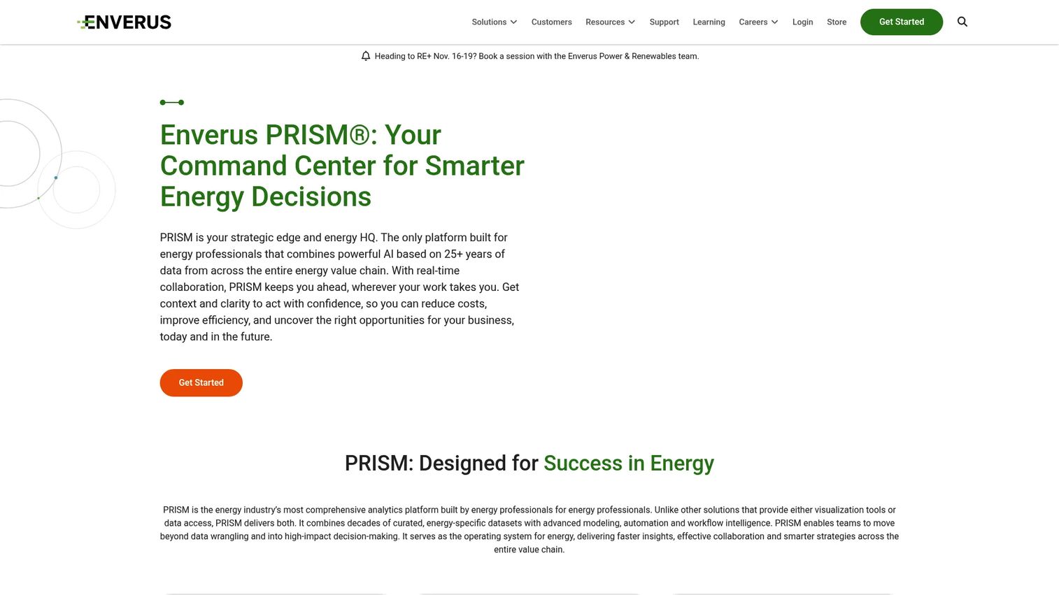
Enverus PRISM is an AI-powered energy analytics platform that combines curated energy datasets, advanced modeling, automation, and workflow intelligence across the energy value chain. It covers subsurface, production, economics, land, grid, power, renewables, and M&A datasets, with natural-language querying through its Instant Analyst feature. Teams can integrate proprietary data with Enverus analytics through Fusion. This is a broad intelligence platform, not a narrowly scoped site selection tool.
Best for: Energy operators, developers, and financial institutions that need siting decisions tied to broader asset, infrastructure, and market intelligence.
Key features
- AI-driven analysis and natural-language querying via Instant Analyst
- Energy data visualization, mapping, forecasting, and analytics
- Subsurface, production, economics, land, grid, power, renewables, and M&A datasets
- Real-time collaboration and integrated workflows
- Fusion integration for combining proprietary data with Enverus datasets
Why choose Enverus PRISM: Strong fit for teams that need siting decisions grounded in broader market and infrastructure context, not just parcel and grid proximity. If your team is running deal-level analysis alongside site screening, PRISM covers both workflows.
Enverus PRISM pricing: Enverus PRISM prices through sales. Ask about dataset access, module selection, seat count, and contract minimums before evaluation.
8. Landgate
Landgate is a data and analytics platform for energy, infrastructure, data-center, and land-development site selection, due diligence, and investment analysis. It combines parcel and GIS analysis (including buildable-area calculations and environmental reports) with power-market intelligence (nodal LMP pricing, congestion, basis analysis, PPA and incentive data) and interconnection and infrastructure analysis (ATC, offtake capacity, transmission, substations, fiber). Financial and generation reports for solar and battery storage projects are also available.
Best for: Energy, infrastructure, and investment teams that need parcel intelligence, power-market data, and interconnection analysis in one platform.
Key features
- Parcel analysis with GIS layers, buildable-area calculations, and environmental reports
- Nodal LMP pricing, congestion, basis analysis, forecasts, and PPA/incentive data
- ATC, offtake capacity, transmission, substation, fiber, and data-center analysis
- Financial, generation, and due-diligence reports for solar and battery storage
- Map-based site search with custom exclusions
Why choose Landgate: Landgate's strength is the combination of land intelligence and power-market data in one platform. It is a strong fit when both parcel access and energy economics drive the siting decision.
Landgate pricing: Landgate directs prospective customers to schedule a demo or contact sales. Ask about territory coverage, data access, and user seats for your specific asset types and geography.
9. Latapult
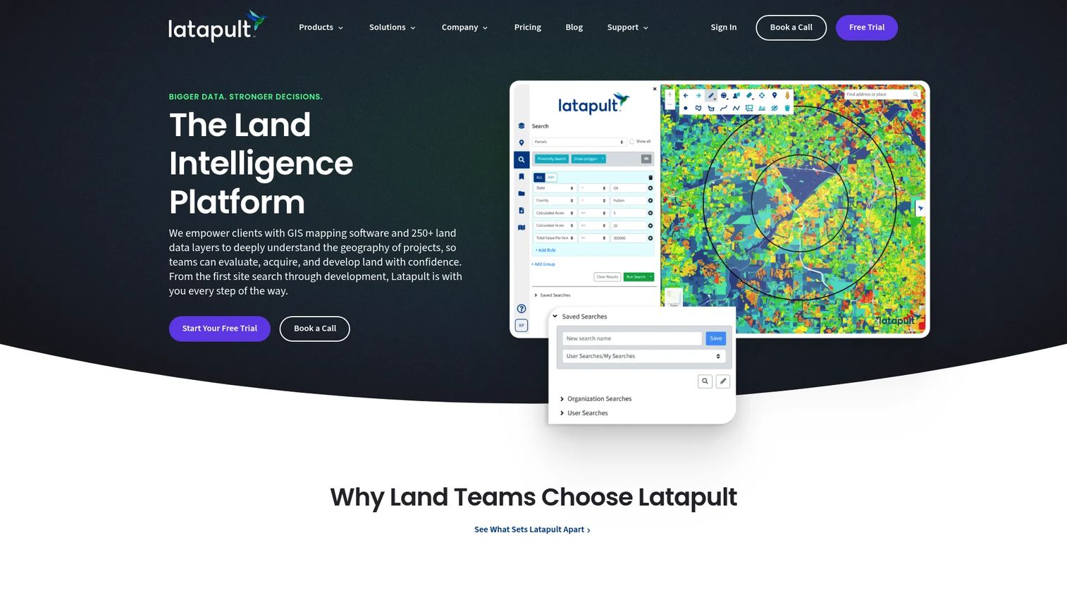
Latapult is a land intelligence and GIS mapping platform for evaluating, acquiring, and developing property. It offers smart land search with 250+ GIS data layers, verified ownership and parcel data, buildable-area analysis, map and report exports, and custom GIS layers and workflow integrations. A 7-day free trial is available, and plans are structured by geographic coverage.
Best for: Land acquisition, renewable energy, real estate development, and infrastructure teams that need a shared GIS workspace with custom data layers and workflow tracking.
Key features
- Smart land searches with spatial and property filters
- Verified parcel ownership data and 250+ GIS layers
- Buildable-area analysis
- Map, report, and data exports
- Custom GIS layers, workflows, and integrations
Why choose Latapult: Latapult is the most accessible entry point in this list by pricing. It fits internal teams that need one shared map for land search, evaluation, notes, and handoff decisions without committing to a fully configured enterprise platform from day one.
Latapult pricing: Regions starts at $149/month; Regions Plus starts at $186/month. Custom Enterprise uses custom pricing. A 7-day free trial is available.
10. GridCARE

GridCARE provides AI-powered grid-capacity analysis and power-acceleration solutions. Its Power Finder product identifies latent grid capacity, Power Activation supports faster interconnection and power delivery, and Power Operations provides real-time monitoring and dispatch for flexible loads and resources. The platform is built for utilities and AI data-center developers seeking to find and use underutilized grid capacity.
Best for: Utilities and AI infrastructure developers that need grid constraints to drive site prioritization, with a focus on identifying and activating latent capacity.
Key features
- Power Finder: Identifies latent grid capacity across the network
- Power Activation: Supports faster interconnection and power delivery
- Power Operations: Real-time monitoring and dispatch for flexible resources
- AI-powered grid capacity analysis
- Infrastructure data layers for utility planning workflows
Why choose GridCARE: Choose GridCARE when grid reality is the first filter and land only matters after capacity looks viable. It is a grid-first tool, not a general-purpose site selection platform, which makes it most valuable for teams whose primary constraint is power delivery timing.
GridCARE pricing: GridCARE prices through sales. Ask about utility coverage, dataset access, seat count, and implementation support when evaluating.
11. Pivvot
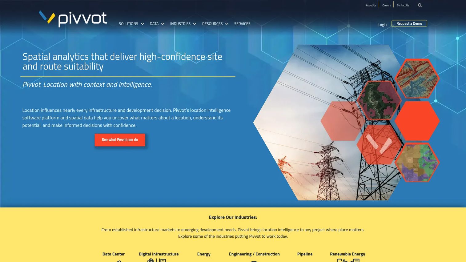
Pivvot is a spatial analytics platform for site suitability, routing, permitting, and environmental risk analysis. It covers 500+ geospatial datasets visualized on maps, constraint-aware point-to-point route generation, crossing and impact reports, parcel and permit analysis, and cost-surface reports. Teams can also upload and analyze proprietary or third-party geospatial data. Plans are structured as Aware, Siting, and Route annual subscriptions.
Best for: Energy, infrastructure, engineering, and environmental teams evaluating spatial constraints across sites, routes, corridors, and linear infrastructure.
Key features
- Map-based visualization of 500+ geospatial datasets
- Siting and suitability analysis
- Constraint-aware route generation (point-to-point)
- Crossing, impact, parcel, permit, and cost-surface reports
- Upload and analysis of proprietary or third-party geospatial data
Why choose Pivvot: Pivvot is a strong fit when the energy asset involves linear infrastructure, access roads, corridors, or complex spatial constraints that standard parcel-centric tools do not handle well. The route generation capability is a meaningful differentiator for transmission and pipeline siting.
Pivvot pricing: Pivvot offers Aware, Siting, and Route annual subscription options, all priced through sales. Ask about which plan includes the routing and crossing analysis capabilities your team needs.
G2 rating: 3.5/5 (1 review on G2 at time of publication).
12. SearchLand
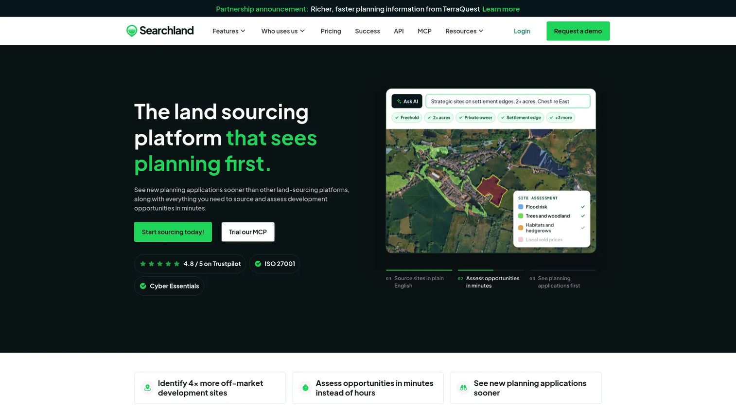
SearchLand is a UK property data and mapping platform for sourcing, assessing, and acquiring development land. It covers customizable site sourcing criteria, planning applications and constraints data, ownership and title data with title reports, sold-price and residential comparables, direct-to-landowner letter sending, and strategic land, renewables, HMO, and transport data layers. This is a UK-market tool; teams operating outside that geography should evaluate other options.
Best for: Property developers, land agents, planners, investors, and energy companies sourcing and evaluating UK development sites where planning and ownership intelligence drive decisions.
Key features
- Site sourcing with customizable criteria filters
- Planning applications and constraints data
- Ownership and title data with title reports
- Direct-to-landowner letter sending
- Renewables, strategic land, and transport data layers
Why choose SearchLand: Choose SearchLand when planning and property intelligence in the UK market matter more than energy-specific engineering depth. For UK renewable developers who need to move quickly from land identification to landowner outreach, the outreach tooling is a practical accelerator.
SearchLand pricing: Standard Plan starts from £195/month when paid annually. Pro Plan and MAX Plan are priced on request with a minimum 12-month subscription.
13. Spottitt MF
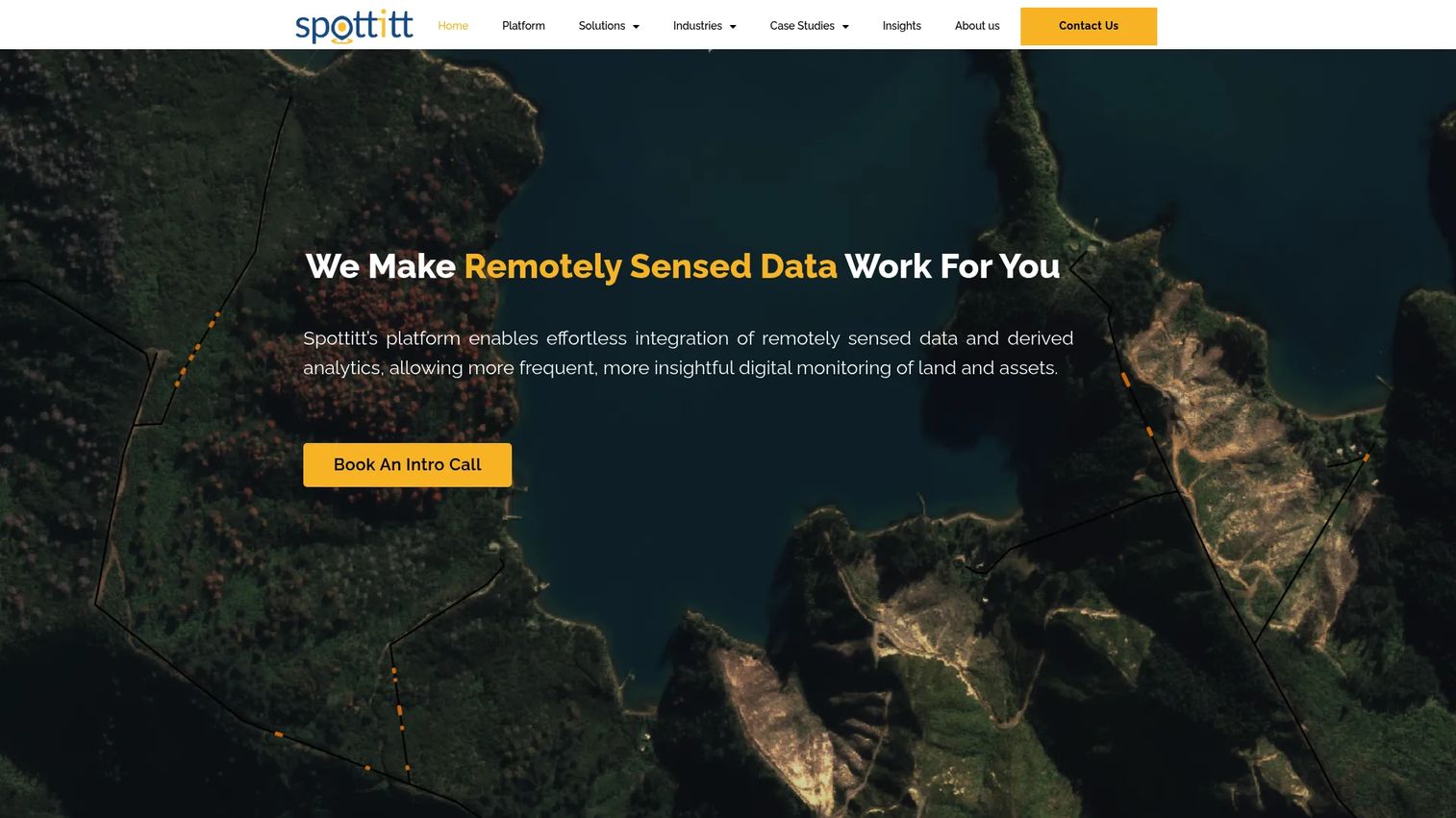
Spottitt MF is a cloud-based geospatial analytics platform that uses satellite, climate, and remotely sensed data with AI to monitor risks affecting infrastructure and land assets. Its capabilities include vegetation, climate and weather, land and asset motion, construction progress, biodiversity, and renewable site-selection monitoring, plus digital elevation, slope, aspect, and 3D conductor-clearance analysis. Spottitt is less of a classic site-selection workflow system and more of an Earth observation layer for due diligence and ongoing monitoring.
Best for: Energy, utility, transport, and renewable asset owners that need satellite-based risk monitoring, environmental observation, or remote site intelligence rather than parcel-level origination tools.
Key features
- AI-powered satellite and remotely sensed data analysis
- Vegetation, climate, land motion, and construction progress monitoring
- Digital elevation, slope, aspect, and 3D conductor-clearance analysis
- Customizable multi-layer reports, maps, and GIS-compatible data tables
- Renewable site-selection and biodiversity monitoring layers
Why choose Spottitt MF: Useful when remote observation and ongoing asset monitoring matter more than parcel CRM or grid modeling. It earns a place in due diligence and operations workflows, particularly where environmental change over time is a project risk.
Spottitt MF pricing: Proof-of-concept projects start at approximately €7,000. Ongoing pricing scales with monitoring needs, asset count, and data type. Ask about imagery frequency, coverage, analysis volume, and reporting options.
14. Caeli Wind
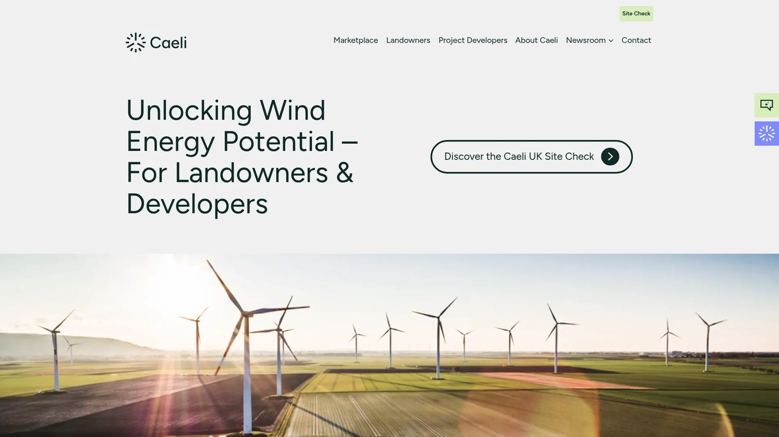
Caeli Wind is a digital platform and marketplace connecting UK landowners with wind-energy project developers through site analysis, advisory support, and structured tender processes. Landowners access free wind-energy site suitability checks covering wind potential, planning, grid, and environmental factors. Developers access pre-screened sites and a competitive tender process with transparent offer comparison. It is wind-specific and UK-focused, so teams outside that market or asset class will find limited coverage.
Best for: UK landowners and wind-project developers that want a purpose-built path to viable wind sites through a structured, digitally assessed marketplace.
Key features
- Free wind-energy site suitability checks for landowners
- Data-driven site analysis: Wind potential, planning, grid, and environmental factors
- Digital marketplace connecting pre-screened sites with qualified developers
- Competitive tender and transparent offer comparison
- Independent guidance and contract support
Why choose Caeli Wind: Strong fit when wind is the only asset class and the team wants a wind-specific marketplace workflow rather than a broad GIS platform. The structured tender process reduces the time developers spend evaluating sites that have not already cleared a basic suitability filter.
Caeli Wind pricing: The wind-energy site suitability check and landowner services are free of charge. Developer access and commercial terms are arranged through sales. Ask about market access, geography, and project support.
15. VECKTA
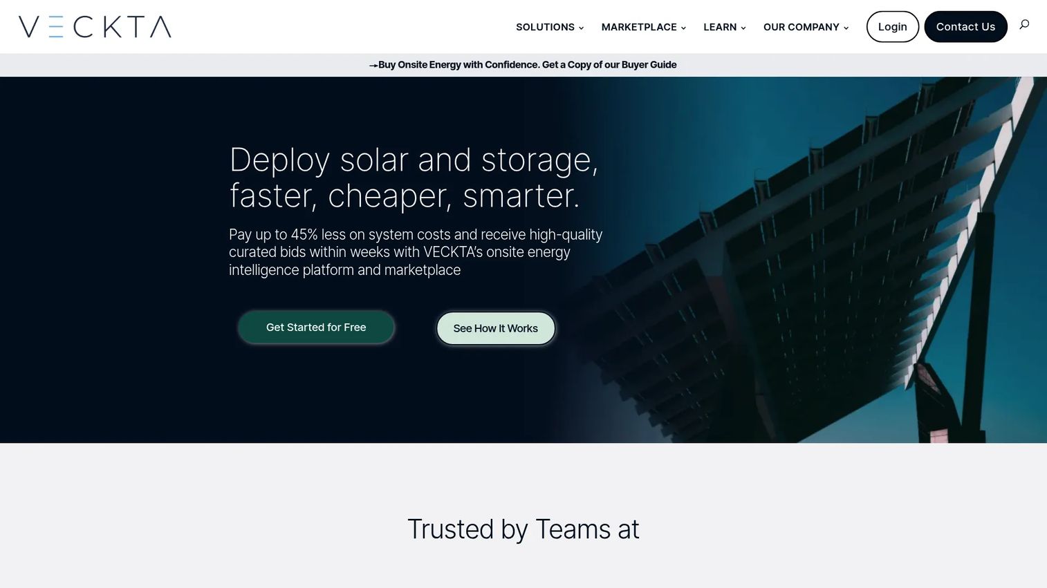
VECKTA is an onsite energy intelligence platform and marketplace for assessing, designing, procuring, and deploying solar, storage, and other distributed energy systems. Its Screener tier provides site and portfolio-level analysis with no cost for entry. Direct to Market is also no-cost per project and connects organizations to the supplier marketplace. The Deployer tier is an annual subscription for teams with active project pipelines. VECKTA is adjacent to traditional energy site selection, with its core strength in evaluating distributed and behind-the-meter energy options.
Best for: Commercial and industrial organizations evaluating onsite solar, battery storage, microgrids, or distributed energy strategies where the question is which energy mix makes financial sense.
Key features
- Site and portfolio-level analysis with no-cost Screener entry
- Energy system modeling and optimized configurations
- RFP builder and competitive supplier bids
- Project tracking and automated reports
- Marketplace access to vetted suppliers
Why choose VECKTA: Choose VECKTA when the decision is not just where to build, but which onsite energy mix makes operational and financial sense for a specific site or portfolio. The no-cost Screener entry lets teams run an initial analysis before committing to a paid subscription.
VECKTA pricing: Screener and Direct to Market are no-cost pathways. Deployer is an annual subscription with pricing through sales. Ask about project volume, advisory support, platform access, and implementation terms.
Considerations when choosing energy site selection software
Match the tool to the project stage
Early origination needs fast screening and ranking. Later feasibility needs engineering, permitting, financial assumptions, and diligence workflows. Buying a solar design tool when the team still needs to find viable land creates a stack mismatch that costs both time and budget.
Verify data coverage by geography
Energy siting software is only as useful as its coverage. Ask vendors which countries, states, counties, utilities, parcels, substations, and environmental layers their platform supports. A well-regarded platform in one market can be thin or absent in another, particularly for international development teams.
Check grid and interconnection depth
For energy projects, grid access can determine project viability before any other factor. Verify how each tool handles substations, transmission lines, hosting capacity, queue risk, and distance-based cost signals. Rough proximity is not the same as queue-aware interconnection analysis.
Audit land and permitting workflows
Look for parcel ownership data, wetlands, protected species, zoning, floodplain, slope, and protected-area layers. Ask whether the platform produces exportable diligence artifacts that your legal, development, and finance teams can use in investment memos and lender packages.
Test collaboration and handoff
A site selection tool has to survive internal handoff. Review how the platform handles notes, saved sites, approvals, exports, integrations with existing project management tools, and user permissions before signing an annual contract.
Conclusion
The energy site selection market generated an estimated $205 million in 2025, according to Economic Mind (2026), and the tools in this category range from broad data platforms to tightly scoped workflow tools.
For broad early screening, start with Paces, dvlp.energy, or Nira. If permitting and environmental risk decide the project, evaluate Transect. For solar technical feasibility, compare PVcase Prospect and RatedPower against your design workflow. If broader energy market intelligence is what your team actually needs, Enverus PRISM covers asset, infrastructure, and market context. For land, GIS, or property search workflows, compare Landgate, Latapult, Pivvot, or SearchLand against your geographic focus. Wind developers in the UK will find Caeli Wind purpose-built; teams evaluating distributed energy options should start with VECKTA's no-cost Screener tier.
Pick three tools that match your asset type, then run the same five sites through each one. The winner is the platform that changes the decision, not the one with the prettiest map.
If your team sells complex software to buyers in this market, start your journey with Guideflow today! Guideflow helps SaaS teams turn product workflows into interactive demos that prospects explore on their own time, without scheduling a call.
FAQs
Energy site selection software helps developers, utilities, and infrastructure teams identify, screen, compare, and prioritize locations for energy assets using geospatial, land, grid, environmental, and financial data. It is used for solar, wind, battery storage, data centers, EV charging infrastructure, and grid assets, typically before major capital is committed. The category is broader than standard GIS tools because it adds energy-specific workflows such as interconnection screening, permitting risk analysis, and project origination pipeline management.
The right answer depends on asset type, grid analysis requirements, land data needs, permitting depth, and geography. Paces covers early-stage screening across grid, land, and permitting in a single workflow. dvlp.energy is built around renewable project origination with a European focus. Nira is the strongest pick for teams where interconnection cost and transmission capacity are the primary feasibility gate. Transect addresses environmental and permitting risk specifically. PVcase Prospect connects solar prospecting to downstream PV design.
GIS software provides mapping and spatial analysis capabilities, but it does not include energy-specific workflows by default. Energy site selection software adds interconnection screening, renewable resource analysis, permitting risk flagging, parcel intelligence, site scoring, and project pipeline management on top of geospatial foundations. Teams use GIS tools to build custom workflows; energy site selection platforms deliver those workflows pre-configured for developer use cases.
PVcase Prospect and RatedPower are the strongest solar-focused options in this list, depending on where in the development process your team is operating. PVcase Prospect covers prospecting, parcel analysis, grid access, and handoff to PV design workflows. RatedPower is an engineering-depth tool for teams that have already identified a site and need layout, yield, and feasibility outputs. Paces and Landgate also cover solar-relevant data for earlier-stage screening.
Paces, Nira, GridCARE, dvlp.energy, and Enverus PRISM all address grid and interconnection workflows, with different depth and focus. Nira is the most specialized, with ISO-accurate substation capacity and upgrade-cost modeling. GridCARE focuses on identifying and activating latent grid capacity for utilities and AI data-center developers. Verify utility coverage, hosting capacity signals, transmission data, queue visibility, and export capabilities before selecting any of them.
Useful platforms cover land parcels, ownership records, substations, transmission lines, interconnection queues, wetlands, protected species, slope, floodplains, zoning, roads, and renewable resource data. Many also include internal project record management. Data coverage varies significantly by region, so confirming what a vendor actually provides for your specific geography and asset type is more important than the feature list on the marketing page.
Most platforms in this category use sales-led pricing because cost depends on data coverage, seat count, modules, geography, and project volume. Latapult is the exception, with a public starting price of $149/month. SearchLand starts at £195/month for UK users. Spottitt MF describes proof-of-concept projects starting around €7,000. VECKTA offers a no-cost Screener entry. For the remaining platforms, request plan details, onboarding costs, contract length, data refresh cadence, and export limits from each vendor's sales team.
It can reduce the amount of manual screening that consultants handle and help teams focus consultant spend on higher-value diligence. A platform like Transect can flag environmental risk in hours rather than weeks, which shifts the consultant's role to validating findings rather than generating them from scratch. Platforms do not replace legal, environmental, engineering, or interconnection experts for final investment decisions. The tools accelerate the work; the expertise remains essential for decisions that carry capital and regulatory weight.