


A rezoning application sits in an email thread. The parcel history lives in a filing cabinet. The hearing schedule is a shared spreadsheet three people edit at once. Somewhere between staff review and the council vote, a document goes missing and the applicant calls to ask what happened.
That is how most planning departments still run. Not because staff want it that way, but because the tools were never built to route a case, track a parcel, and keep the public informed at the same time.
The stakes are rising. Grand View Research valued the urban planning software and services market at USD 156.89 billion in 2024, projected to reach USD 226.25 billion by 2030 at a 6.8% CAGR. Agencies are moving off spreadsheets and paper for a reason: manual approvals do not scale, and residents now expect the same self-service they get from every other institution.
The question is not whether to buy planning and zoning software. It is which system matches how your agency actually reviews cases, manages hearings, and shows its work to the public.
What's inside
This guide is for local government staff, planning departments, municipal IT leaders, and state or local agencies comparing systems before demos or an RFP.
We picked four platforms and evaluated each against the criteria that decide whether a municipal deployment succeeds:
- Workflow automation and approval routing
- GIS and parcel integration
- Public-facing portals and transparency
- Records visibility, reporting, and governance
Every tool below serves a different agency profile. The point is to help you match one to yours, not to crown a single winner.
TL;DR
- Best for deep municipal workflows: Oracle, for large agencies with complex entitlement rules, hearing processes, and parcel governance.
- Best for public transparency and workflow automation: OpenGov, for teams that want modern applicant self-service and strong public-facing visibility.
- Best for municipal platform fit and records: CivicPlus, for governments that want planning and zoning inside a broader civic technology stack.
- Best for broad operational coverage and public meetings: iWorQ, for agencies that need one system across planning, review, meetings, and related workflows.
Match the tool to your process depth, your GIS needs, and how much of your stack already lives with one vendor.
What is planning and zoning software
Planning and zoning software is a system that helps local governments manage zoning cases, permits, hearings, approvals, parcel data, and public communication in one place instead of across spreadsheets, email, and filing cabinets.
It replaces manual handoffs with routed workflows, gives residents a portal to submit and track applications, and ties every case to its location on a map. Think of it as the operational backbone for a planning department, from preapplication through final approval.
Core capabilities to expect:
- Case and project tracking: A single record for every zoning case, permit, or land use application, with status visible to staff and applicants.
- Workflow routing and approvals: Automated assignment, review steps, conditions, and sign-offs that move a case forward without manual chasing.
- GIS and parcel context: District boundaries, overlays, and land-record history mapped to each application for spatial review.
- Hearings, notifications, and public portals: Agenda and meeting support, automated notices, and resident-facing self-service.
- Payments, documents, and reporting: Online fee collection, document management, audit trails, and exportable reports for oversight.
Related terms you will see in this category include zoning software, planning permit software, land use planning software, zoning permit software, and municipal project management software. They describe overlapping capabilities across the same municipal workflow.
When to use
Streamline zoning approvals
Reach for planning and zoning software when cases stall between reviewers and nobody can say where a file is. Automated routing assigns each step, applies conditions, and logs sign-offs, so a rezoning does not sit in someone's inbox for a week. When status is visible to staff and applicants, accountability stops being a guessing game.
Support applicant self-service
Use a public portal when residents and developers need to submit applications, pay fees, and check status without calling the front desk. Every online submission is one fewer phone call and one fewer counter visit for staff. Self-service also cuts the back-and-forth of incomplete applications, because the portal can require the right documents up front.
Add GIS and parcel context to decisions
Turn to GIS integration when location drives the decision: setbacks, overlays, district boundaries, and land-record history. Mapping a case to its parcel gives reviewers spatial context that a text field cannot. The test is whether the map improves the decision or just displays it. Strong systems tie parcel genealogy and overlays directly into review.
Comparison table
The table below sorts the four tools by relevance to planning and zoning workflows. Pricing in the public sector is almost always custom and quote-based, so confirm figures and current G2 ratings with each vendor before you shortlist.
| # | Product | Best for | Key differentiator | Pricing | G2 rating |
|---|---|---|---|---|---|
| 1 | Oracle | Large municipalities with complex entitlement and hearing rules | Enterprise land-use depth with parcel governance and GIS | Free Tier available; enterprise pricing is custom | Not published |
| 2 | OpenGov | Public transparency and applicant self-service | No-code workflow builder with public access and GIS overlays | Custom, quote-based | 4.4/5 |
| 3 | CivicPlus | Planning and zoning inside a broader municipal platform | Integrated civic suite with centralized records | Custom, quote-based | 4.4/5 |
| 4 | iWorQ | Broad operational coverage for generalist agencies | Unlimited users with public works and community development breadth | Custom, population-based | 3.8/5 |
Best planning and zoning software for 2026
1. Oracle
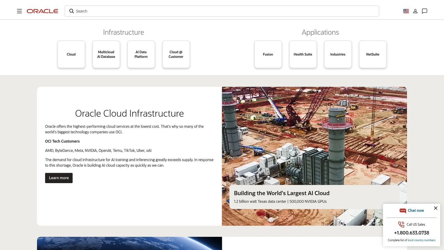
Oracle brings enterprise land-use and planning depth to agencies whose approval rules are anything but simple. Its public-sector applications handle configurable workflows, parcel-level controls, hearing and agenda management, and GIS-backed context, sitting on top of Oracle Cloud Infrastructure and its database and applications layers. For large municipalities juggling complex entitlement processes, conditions, and parcel changes, that depth is the draw.
Best for: Large municipalities or state agencies with complex entitlement rules, heavy hearing processes, and parcel governance needs.
Key strengths
- Configurable approval workflows and conditions
- Hearing and agenda management
- Parcel genealogy and land-record controls
- GIS-backed spatial context
- Reporting and dashboards for oversight
Why choose Oracle: Choose Oracle when deep process control matters more than anything else. It fits agencies where parcel changes, multi-step approvals, and hearing processes carry real legal and procedural weight, and where an enterprise cloud footprint is already part of the plan.
Oracle pricing: Oracle Cloud Free Tier includes a US$300 credit for 30 days plus Always Free services that never expire. Enterprise planning and zoning deployments are priced through Oracle directly and vary by agency scope, so request a quote before you budget.
Oracle does not publish a single brand-level G2 rating for its public-sector planning applications, so weigh peer references and a hands-on demo when you evaluate.
2. OpenGov
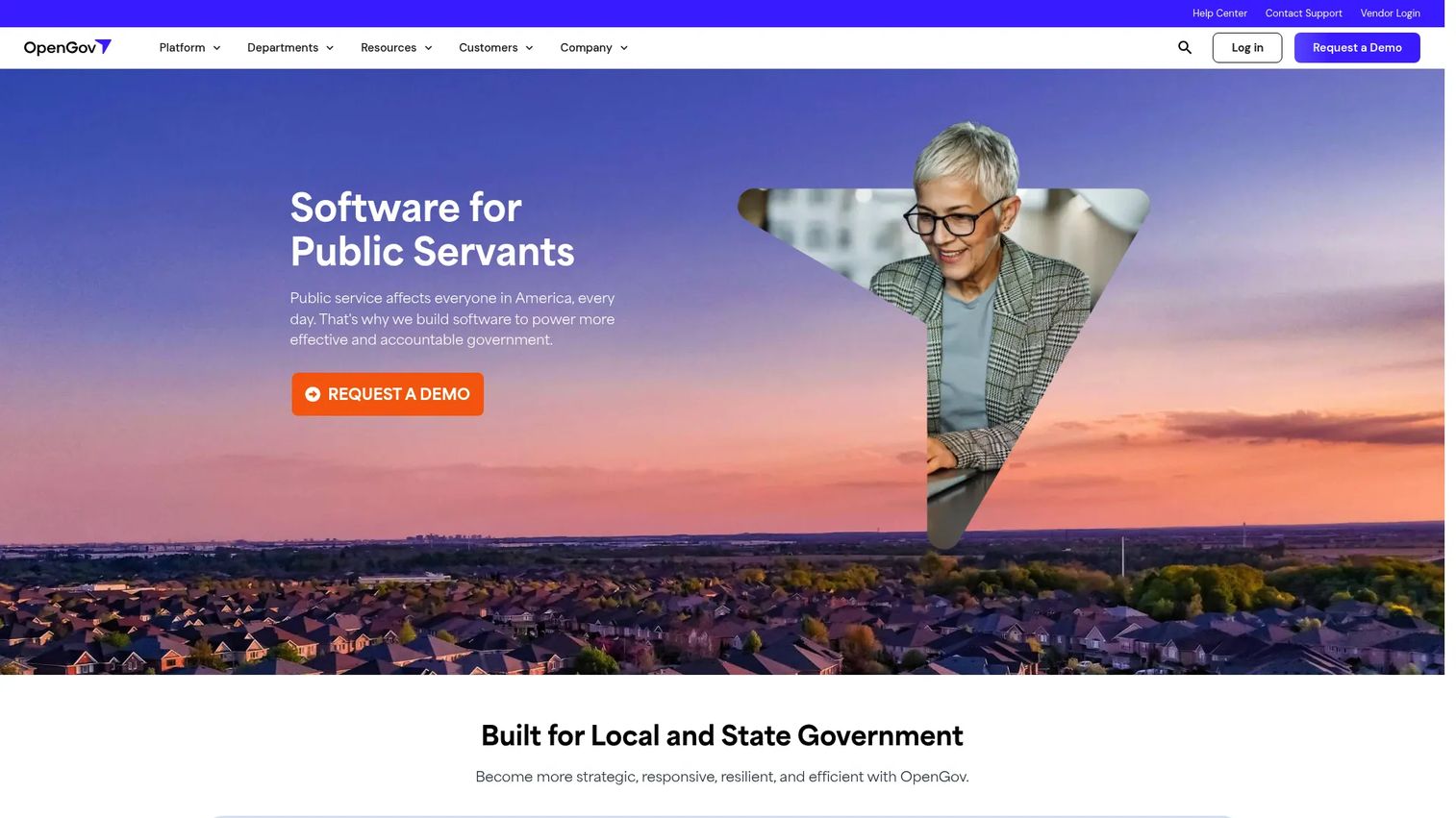
OpenGov builds cloud software for local and state government, spanning budgeting, procurement, permitting, and asset management, with zoning case management and public transparency at the center of its planning story. Its permitting and licensing workflows are digital and configurable, its enterprise asset management integrates with GIS, and its public-facing tools let residents self-serve. For teams that want modern, transparent workflows, it is a strong fit.
Best for: Teams that want modern applicant self-service, no-code workflow flexibility, and strong public-facing visibility.
Key strengths
- Case management organized by zoning type
- GIS mapping and overlays
- Public access and applicant status updates
- No-code workflow builder
- Exportable reporting for oversight
Why choose OpenGov: OpenGov balances usability, transparency, and flexible zoning case handling. It performs best when public transparency is a priority and staff want to configure workflows themselves rather than wait on a vendor for every change. The GIS integration on the asset side extends spatial context across operations.
OpenGov pricing: OpenGov doesn't list starting prices anywhere. The site pushes you toward requesting a demo, and one of their asset management pages mentions an all-inclusive package with unlimited users, but still no actual dollar figure. Basically, treat the pricing as custom and quote-based.
On G2, OpenGov holds a 4.4/5 rating, which reflects steady sentiment from public-sector reviewers.
3. CivicPlus
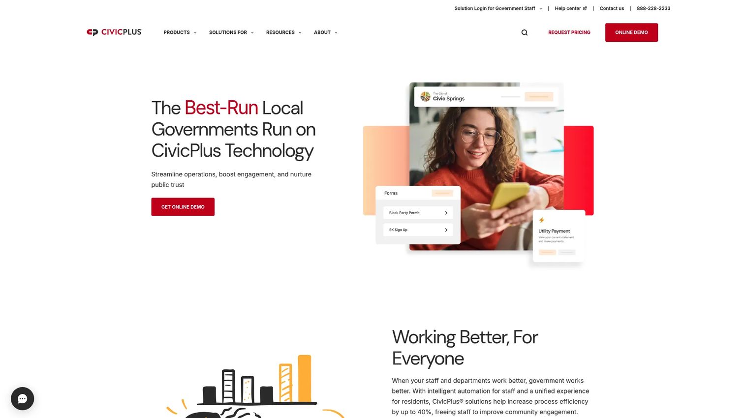
CivicPlus is a local government platform covering municipal websites, resident services, communications, compliance, and operations, with planning and zoning fitting inside that broader civic suite. Its strength is integration: online submission and tracking, property and record management, GIS visualization, and centralized documents all sit alongside agenda management, public records handling, and mass notification. For governments that want fewer vendors and more centralized records, that ecosystem fit is the appeal.
Best for: Local governments that want planning and zoning to live inside an existing municipal technology stack.
Key strengths
- Online submission and application tracking
- Property and record management
- GIS visualization
- Centralized documents and approvals
- Platform integration across civic services
Why choose CivicPlus: CivicPlus makes sense when planning and zoning must connect to the rest of your civic technology, from your public website to agenda and records management. Centralizing property history and approvals in one platform reduces the seams between departments and keeps records searchable across the agency.
CivicPlus pricing: CivicPlus uses custom pricing and requests a quote rather than publishing plan prices. Cost depends on which parts of the civic suite you deploy and your agency size, so scope your modules before requesting a number.
CivicPlus holds a 4.4/5 rating on G2, consistent with its standing as an established municipal platform vendor.
4. iWorQ
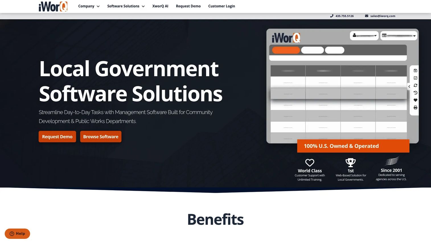
iWorQ is web-based local government software built for public works and community development, with planning and zoning management as one part of a broad operational toolkit. It handles work management with templates, reporting, mapping, and mobile access, plus permits, code enforcement, licensing, fire inspections, and portal workflows. Its unlimited-user model, with included support, training, and upgrades, appeals to smaller and generalist agencies that need one system across many functions.
Best for: Agencies that need one system for planning, review, meetings, inspections, and related municipal workflows.
Key strengths
- Centralized project and work tracking
- Workflow automation with templates
- Public portal and notification tools
- Inspection and review scheduling
- Parcel and mapping context
Why choose iWorQ: iWorQ is the pick when operational breadth matters more than specialized depth. Smaller teams and generalist agencies get planning, code enforcement, permitting, and inspections under one roof, with no per-seat licensing to manage as staff comes and goes.
iWorQ pricing: iWorQ states it uses a straightforward structure with no per-seat licensing fee and pricing based on population size and an annual fee. No public numeric price is listed, so request a quote tied to your jurisdiction.
iWorQ holds a 3.8/5 rating on G2, with Capterra reviews landing somewhat higher, so read recent reviews for your use case before deciding.
Considerations
Workflow depth
Look at how the system routes approvals, assigns reviewers, applies conditions, and controls a case from preapplication to final sign-off. The question is whether the tool matches your real municipal process or forces you to bend your process to the tool. Ask to see templates for your most complex case type during the demo.
GIS and parcel integration
Mapping matters when overlays, district boundaries, and parcel history drive decisions. Confirm the system does more than display a map: it should tie parcel genealogy and land-record context into the actual review, so a reviewer sees setbacks and overlays in context. A map that improves decisions is worth far more than one that only decorates the record.
Public portal and transparency
Decide what residents and applicants should do without staff intervention. At minimum, that means online submission, fee payment, document uploads, status tracking, and automated notifications, plus access to public meeting agendas. The more the portal handles, the fewer phone calls and counter visits your team absorbs.
Records, reporting, and governance
Public agencies live and die by the record. Verify that the system keeps searchable records with document history, audit trails, and defensible approval logs. Reporting should be exportable for council packets, oversight, and public records requests without a data-extraction project every time.
Implementation and support
Ask hard questions about onboarding, data migration, training, and ongoing admin burden before you sign. A powerful system that your team cannot configure or maintain is a stalled project. Confirm what migration help is included, who owns configuration, and how support responds when a hearing is on the calendar and something breaks.
Conclusion
Four tools, four agency profiles. Oracle fits large municipalities and state agencies with complex entitlement rules, heavy hearing processes, and parcel governance that demands deep configuration. OpenGov suits teams that put public transparency and no-code workflow flexibility first. CivicPlus works when planning and zoning must live inside a broader municipal platform with centralized records. iWorQ serves smaller and generalist agencies that need broad operational coverage across planning, permitting, code enforcement, and meetings in one system.
The decision comes down to four factors: how deep your workflow automation needs run, how much GIS and parcel context your decisions require, how much you want residents to self-serve, and how searchable and defensible your records must be.
Your next step is to narrow this list to one or two vendors and put them through a demo built around your hardest case type. Bring a real rezoning, a real hearing schedule, and a real parcel change, and watch how each system handles them before you commit to an RFP.
FAQs
There is no single best; the right fit depends on agency size and workflow complexity. Large agencies with complex entitlement and hearing processes lean toward Oracle, transparency-focused teams toward OpenGov, platform-consolidators toward CivicPlus, and generalist agencies toward iWorQ. Compare them against the table above and shortlist based on your process depth and existing stack.
At a minimum: case and project tracking, workflow routing and approvals, GIS and parcel context, hearings and public notifications, a resident-facing portal, online payments, document management, and exportable reporting. The strongest systems tie these together so a case moves from submission to approval without leaving the platform.
It gives residents and applicants direct visibility into where a case stands. Public portals let people submit applications, track status, upload documents, and view hearing agendas without calling staff, while automated notifications keep applicants informed at each step. That visibility reduces phone traffic and builds trust in the process.
Yes. Most municipal platforms support agenda building, meeting workflows, and document sharing tied to each case. Oracle offers hearing and agenda management as part of its land-use depth, and iWorQ includes public meeting portal tools within its broader operational set. Confirm how each ties agenda items back to the underlying case record.
For zoning, GIS is often central. Overlays, district boundaries, setbacks, and parcel history give reviewers the spatial context a decision depends on. The important distinction is whether the system uses GIS to inform the review, with parcel genealogy and overlays wired into the case, or simply displays a map beside it.
It depends on your stack maturity and agency complexity. An all-in-one platform like CivicPlus reduces vendors and centralizes records, which suits governments consolidating civic technology. A deeper, specialized approach fits agencies whose entitlement and hearing processes demand configurable depth. Weigh consolidation against process fit.
Focus on migration, training, support responsiveness, and ongoing admin workload. Ask what data migration help is included, who owns configuration after go-live, how long onboarding typically takes for an agency your size, and how support responds during time-sensitive events like a scheduled hearing. A demo that uses your real cases surfaces most of the risk before you sign.