


A drone crashes into a treeline because a waypoint was set 40 meters too low. A survey flight returns with 30% coverage gaps because the terrain model was wrong. A mixed fleet grinds to a halt because the new rover won't talk to the same ground station as the copters. None of these are hardware failures. They are software decisions made months earlier.
UAV software is the layer that keeps missions predictable. It decides how the aircraft stabilizes, how routes get planned, how the operator sees telemetry, and what happens when a link drops mid-flight. Get it right and repeatable missions become boring in the best way. Get it wrong and every flight carries risk you didn't budget for.
The market pressure is real. The global drone software market is projected to grow from $15.9 billion in 2025 to $52.98 billion in 2030 at a 27.2% CAGR, according to The Business Research Company (2026). More vendors, more forks, more integration paths. That's good for buyers and exhausting for anyone trying to shortlist.
This guide compares the strongest options by workflow fit, vehicle support, reliability, and community strength. It's built for technical buyers who already know the category and need to narrow the field, not a beginner's drone-buying list.
What's inside
This is a decision guide for engineers, operators, survey teams, and program managers choosing UAV software for flight control and mission planning. We looked at eight tools spanning open-source autopilots, professional planning suites, and ground control station software.
We selected and ranked each option on four criteria that actually predict operational success: platform and vehicle support, mission-planning depth, documentation and community strength, and safety and reliability features. Commercial readiness (support, licensing, and deployment options) served as a tiebreaker. Pricing and ratings are included only where a vendor publishes them.
TL;DR
- Best open-source autopilot: PX4, for developers, integrators, and research teams that want an extensible flight stack with broad hardware support.
- Best versatile multi-vehicle option: ArduPilot, when one platform has to run copters, planes, rovers, and boats.
- Best professional mission planning: UgCS, for survey-grade, terrain-aware planning across mixed fleets.
- Best category benchmark for embedded flight control: drone flight control software, the reference point for what any autopilot stack must do.
- Best for automated field capture: Botlink Capture App, for DJI-compatible mapping and survey flights.
- Best specialized ground control station: Visionair GCS Software, for planning, execution, and post-flight analysis in one interface.
- Best for automated multi-device missions: Dronelink, for scripted flights across supported DJI and Autel drones.
- Best Earth-observation data layer: PLANET Application Service, when the mission needs satellite imagery alongside drone capture.
What is UAV software?
UAV software is the control, planning, and execution layer that lets an unmanned aircraft fly a mission reliably, from takeoff through autonomous waypoints to landing. It spans three distinct roles that buyers often conflate: autopilot firmware that runs on the vehicle, mission-planning software that designs the route, and ground control station software that gives the operator a live interface during flight.
Those layers do different jobs. Autopilot firmware handles stabilization and low-level control. Flight planning software builds the waypoints, altitudes, and camera triggers before takeoff. Ground control station software streams telemetry, shows the map, and lets the operator intervene. Some platforms combine all three; others specialize in one and integrate with the rest.
Core capabilities to evaluate across any UAV software stack:
- Flight stabilization: keeping the airframe steady and controllable in wind and disturbance.
- Waypoint and route planning: defining repeatable flight paths with altitudes, speeds, and triggers.
- Sensor fusion: blending GPS, IMU, barometer, and other inputs into a reliable state estimate.
- Autonomy and failsafes: return-to-home, geofencing, and defined behavior when a link or sensor drops.
- Multi-platform support: running consistent workflows across different airframes and vehicle types.
- Mission assurance and logging: flight logs, telemetry records, and post-flight analysis for audit and debugging.
The autopilot software choice tends to anchor everything else. A ground control station has to speak the same protocol the flight controller uses, and mission-planning software has to export routes the autopilot understands. That's why buyers evaluate the stack, not a single app.
When to use UAV software
Different missions demand different strengths. Here's how to pattern-match your situation before scanning the list.
Plan and fly repeatable missions
When routes need to be identical flight after flight, you need mission-planning software with precise waypoints, altitude control, and standardized execution. Survey, mapping, inspection, and research workflows all depend on repeatability. A tower inspection that varies 5 meters between flights makes change detection useless. Terrain-aware planning and saved mission templates are what keep the data comparable over time.
Support mixed fleets and multiple vehicle types
When a team runs copters, fixed-wing aircraft, rovers, or boats side by side, mixed-fleet support becomes the deciding factor. You want one platform where operators reuse the same planning logic and interface across airframes, instead of learning a new tool per vehicle. Broad autopilot compatibility and shared workflows reduce training overhead and cut the number of systems your team has to maintain.
Improve safety and mission reliability
When a dropped link or a bad sensor reading could cost an aircraft or violate airspace rules, failsafes and sensor fusion move to the top of the list. Geofencing, return-to-home logic, redundant state estimation, and predictive path visualization matter most in enterprise, public safety, and regulated environments. In those settings, mission assurance and logging aren't nice-to-haves; they are the audit trail that keeps the program flying.
Comparison table
The table below helps you shortlist by intent and use case. Scan for the workflow that matches yours, then read the full section. Pricing and ratings reflect only what each vendor publishes; several UAV vendors quote by request.
| # | Product | Intent | Key use case | Pricing | G2 rating |
|---|---|---|---|---|---|
| 1 | PX4 | Open-source autopilot | Custom drone and autopilot development | Open source, free | Not published |
| 2 | ArduPilot | Multi-vehicle autopilot | Copters, planes, rovers, boats on one stack | Open source, free | Not published |
| 3 | UgCS | Professional mission planning | Survey-grade, terrain-aware flight planning | From $109/mo | 5.0/5 |
| 4 | Drone flight control software | Category benchmark | Embedded flight stabilization and autonomy | Varies by vendor | Not published |
| 5 | Botlink Capture App | Automated field capture | DJI-compatible mapping and surveying | Free account, 14-day trial | Not published |
| 6 | Visionair GCS Software | Ground control station | Mission planning, execution, and analysis | By quotation | Not published |
| 7 | Dronelink | Flight automation | Scripted missions on DJI and Autel drones | From $24/mo | Not published |
| 8 | PLANET Application Service | Earth-observation data | Satellite imagery alongside drone capture | From $2,700/yr | Not published |
1. PX4
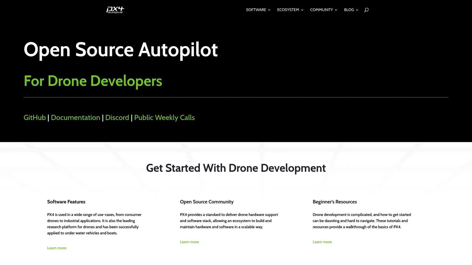
PX4 is an open-source flight control stack hosted by the Dronecode Foundation. It powers drones and other unmanned vehicles across research labs, commercial integrators, and OEM products. Because the codebase is open and governed by a foundation rather than a single vendor, teams can inspect it, extend it, and build custom autopilot behavior on top of a well-supported hardware ecosystem.
Best for: Teams building or operating drone and autopilot systems that want an extensible open-source flight stack.
Key strengths
- Open-source flight control: the full stack is inspectable and modifiable, so integrators aren't boxed in by a vendor roadmap.
- Broad hardware ecosystem: wide support for flight controllers and companion hardware simplifies board selection.
- Foundation governance: hosting under Dronecode gives the project structure, contributors, and continuity beyond any one company.
Why choose PX4: If your team writes code and wants to shape flight behavior rather than accept defaults, PX4 fits. It's a strong anchor for research programs, custom airframes, and companies building drone products who need the source and a real developer community behind it. The tradeoff is that you're adopting a developer platform, so budget for the engineering time to configure and validate it against your airframe.
PX4 pricing: PX4 is open source and free to use. The official site does not list paid tiers or a public price. Commercial support and integration services are available through the vendor and partner ecosystem, so confirm those separately if you need SLAs.
2. ArduPilot
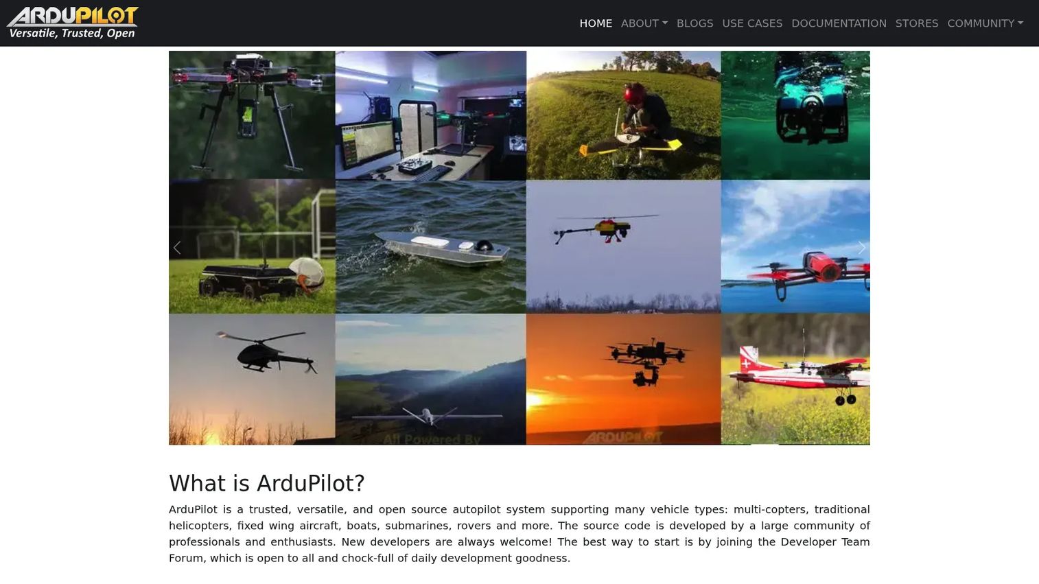
ArduPilot is open-source autopilot software with one of the longest track records in the category. Its defining trait is breadth: the same project supports multicopters, helicopters, fixed-wing aircraft, boats, submarines, rovers, and more. For teams that operate several vehicle types, that shared foundation is the whole point.
Best for: Teams and builders running autonomous unmanned vehicles across multiple platforms on one open-source stack.
Key strengths
- Wide vehicle taxonomy: copters, planes, rovers, boats, and subs all run on the same core, reducing tool sprawl.
- Autonomous and manual modes: full mission planning plus manual control covers scripted and hands-on flying.
- Advanced navigation features: object avoidance, terrain following, geofences, and non-GPS navigation extend where and how you can fly.
Why choose ArduPilot: Choose ArduPilot when versatility across vehicle types outweighs everything else. A search-and-rescue group running copters and rovers, or a research team flying planes and boats, gets one codebase, one community, and one set of skills that transfer across the fleet. Its long history means deep documentation and a large user base to lean on when you hit an edge case.
ArduPilot pricing: ArduPilot is open source and free to use. No public paid pricing is published on the official site. As with any open autopilot, factor in the engineering time to tune and validate it for your specific airframes and mission profiles.
3. UgCS
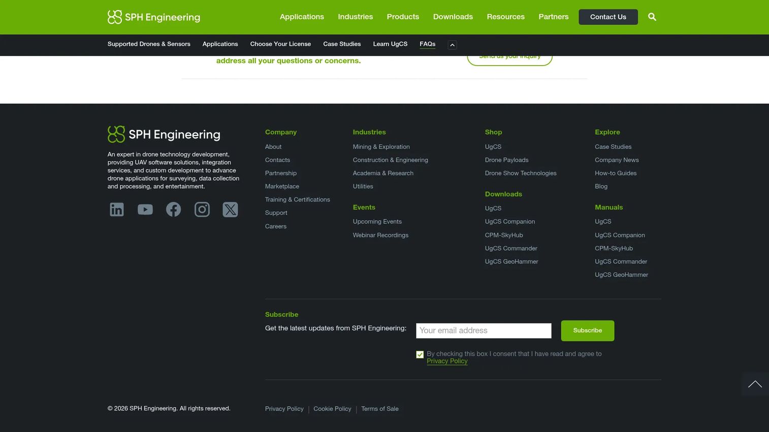
UgCS, from SPH Engineering, is desktop drone flight-planning and control software built for professional UAV missions. It leans into survey-grade work: terrain-aware planning, 3D flight design, and support for custom sensor integration. For operators whose data quality depends on precise, repeatable routes, UgCS is purpose-built.
Best for: Survey-grade drone mission planning for professional and industrial UAV teams.
Key strengths
- Terrain following and 3D planning: routes hug the terrain model so altitude above ground stays consistent for clean data.
- Professional mission workflows: designed for surveying, mapping, and inspection where precision drives the output.
- Custom sensor integration: supports specialized payloads, extending the software to LiDAR and photogrammetry rigs.
Why choose UgCS: Choose UgCS when mission design precision is the deliverable. Survey and mapping teams that need terrain-aware routes, mixed-fleet support, and dependable field planning get a tool built around that exact workflow. The desktop-first approach suits operators who plan detailed missions before heading out, then execute against a fixed flight plan.
UgCS pricing: UgCS offers a free tier plus paid PRO, EXPERT, and ENTERPRISE plans. PRO starts at $109 per month, $790 per year, or $1,090 as a perpetual license. EXPERT runs $189 per month, $1,290 per year, or $1,890 perpetual. ENTERPRISE is $279 per month, $1,990 per year, or $2,790 perpetual. UgCS holds a 5.0/5 rating on G2, though from a small number of reviews, so weigh it alongside your own trial.
4. Drone flight control software
Drone flight control software is the category benchmark entry, the reference point for what any embedded autopilot stack has to deliver. It's less a single product than the class of software that runs on the flight controller and turns pilot or mission commands into stable, controlled flight. Understanding it clarifies what you're actually evaluating when you compare PX4, ArduPilot, and vendor-specific stacks.
Best for: Buyers who want to understand the core functions an embedded flight-control stack must perform before comparing specific products.
Key strengths
- Flight stabilization and guidance: the core loop that keeps the airframe steady and tracks commanded attitude and position.
- Sensor fusion: combines GPS, IMU, and barometer data into a reliable state estimate the controller can act on.
- Autonomy and failsafe behavior: executes waypoints and defines safe responses to link loss, low battery, or sensor faults.
Why choose to evaluate this category carefully: Every UAV program depends on a flight control layer, whether you adopt an open stack or a vendor's embedded firmware. Treating it as a benchmark forces the right questions: How does it fuse sensors? What are the failsafe triggers? How well is it documented? Those answers matter more than any feature checklist.
Drone flight control software pricing: As a category rather than a single product, pricing varies by vendor. Open-source stacks like PX4 and ArduPilot are free; embedded commercial firmware is typically bundled with hardware or quoted per deployment. Evaluate total cost against integration effort and support terms.
5. Botlink Capture App
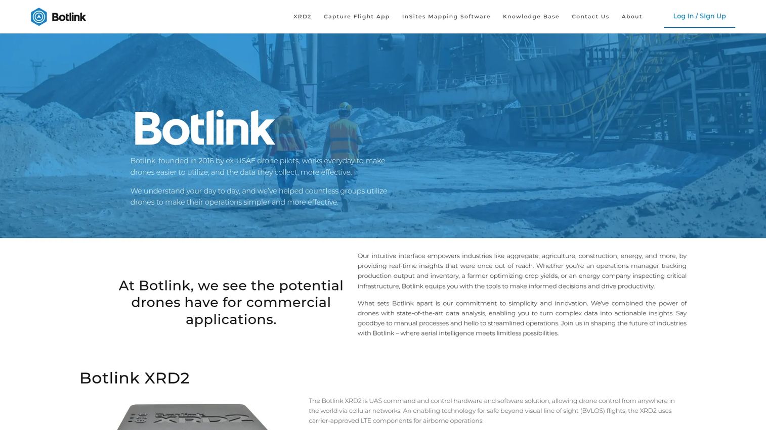
Botlink Capture App is drone flight control and mapping software focused on automated capture and site surveying. It automates takeoffs and landings, offers drag-and-drop flight planning, and connects with common DJI and MAVLink drones. For field teams that want fast, repeatable mapping flights without hand-flying every mission, it removes a lot of manual work.
Best for: Teams using DJI-compatible drones for automated flight capture and mapping.
Key strengths
- Automated takeoffs and landings: reduces pilot workload and keeps flights consistent across sessions.
- Drag-and-drop flight planning: builds mission routes quickly without deep configuration.
- DJI and MAVLink compatibility: works with widely deployed drone hardware, so most fleets can adopt it without swapping airframes.
Why choose Botlink Capture App: Choose it when the priority is getting reliable survey and mapping data off DJI-class hardware with minimal setup per flight. The automation suits crews running the same site repeatedly, where consistency between captures drives the value. It sits closer to the field-execution end of the stack than to deep autopilot customization.
Botlink Capture App pricing: Botlink offers a free account with a 14-day free trial. A standalone public price for the Capture app is not published on the brand site, which directs users to create an account or contact sales for details. Confirm current packaging directly with the vendor.
6. Visionair GCS Software
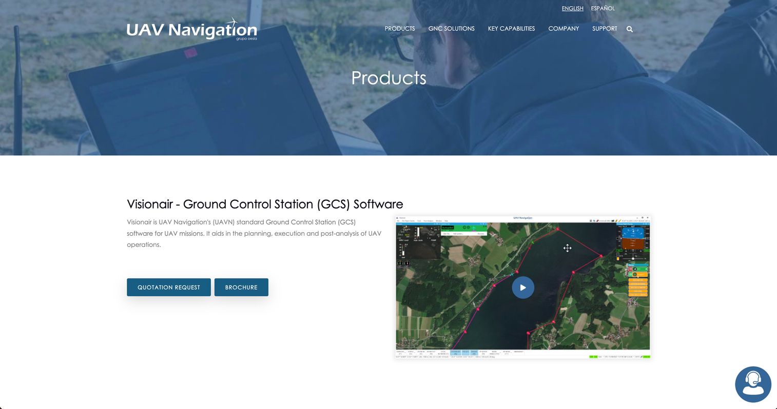
Visionair GCS Software, from UAV Navigation, is a ground control station tool that handles mission planning, execution, and post-flight analysis in a single interface. Rather than splitting planning and monitoring across separate apps, it gives operators one environment for building the flight plan, flying it, and reviewing telemetry afterward.
Best for: UAV operators who need mission planning, live execution, and post-flight analysis in one ground control station.
Key strengths
- End-to-end mission workflow: planning, execution, and post-analysis live in the same tool, cutting handoffs between systems.
- Flight plan editor with multi-plan support: an online map and editor lets operators manage several flight plans at once.
- Situational awareness features: predictive paths, alarms, and 3D visualization help operators stay ahead of the aircraft during flight.
Why choose Visionair GCS Software: Choose it when you want a professional ground control station that keeps the full mission lifecycle in one interface. Operators who value situational awareness during flight, and a clean path from plan to post-flight log analysis, get a tool designed around that continuity. It fits programs standardizing on a single GCS rather than stitching together point tools.
Visionair GCS Software pricing: UAV Navigation does not publish a public price for Visionair. The product page offers a quotation request instead, so pricing depends on your deployment and configuration. Request a quote to scope it against your program.
7. Dronelink
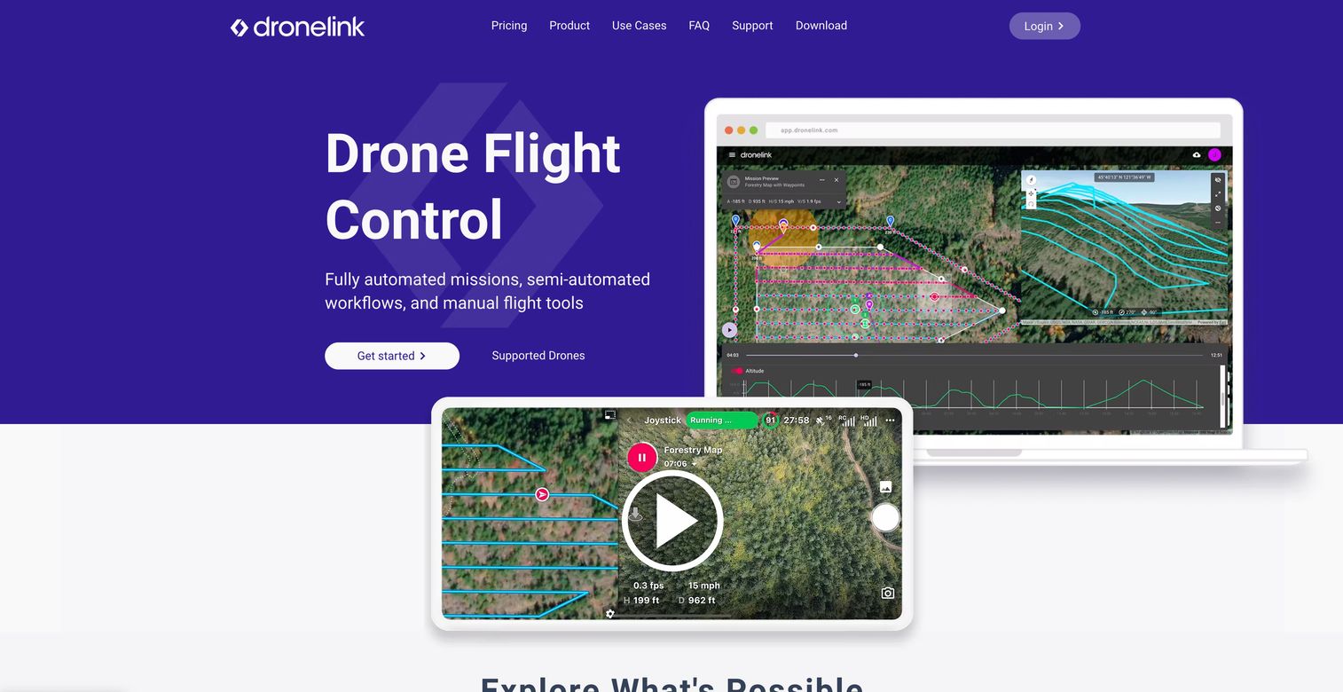
Dronelink is drone flight automation software for planning and flying missions across supported DJI and Autel devices. It combines a mission planner with a mobile flight dashboard, so teams can script automated flights, preview them in 3D, and switch to manual or hybrid control when a mission calls for it. Operations management and flight logging round out the workflow.
Best for: Teams needing automated mission planning and flight execution across multiple DJI and Autel drones.
Key strengths
- Automated and semi-automated missions: scripts flights end to end while allowing on-the-fly adjustments.
- 3D mission previews: operators can visualize the flight before takeoff to catch altitude and path issues early.
- Hybrid manual and automated workflows: a manual flight dashboard sits alongside automation for missions that need both.
Why choose Dronelink: Choose Dronelink when your fleet spans DJI and Autel hardware and you want scripted, repeatable missions with the option to take manual control. The 3D previews and operations management suit teams that plan carefully and fly the same routes often. It's a practical middle ground between full custom autopilot development and hand-flying every sortie.
Dronelink pricing: Professional plans include Starter at $24 per month (or $299.99 billed annually), Growth at $49 per month (or $599.99 per user annually), and Enterprise starting at $10,000 per year. Hobbyist one-time options are also available, and support references a free manual-flight dashboard. Check the current pricing page to match a tier to your fleet size.
8. PLANET Application Service

PLANET Application Service, delivered through Planet, provides satellite imagery, analytics, and Earth-observation data as a service. It's not a flight controller or a ground station; it's the data layer that complements drone capture with near-daily satellite imagery and platform analytics. For programs that need broad-area context around targeted drone flights, it fills a different part of the stack.
Best for: Organizations that need satellite imagery and Earth-observation analytics alongside drone-collected data.
Key strengths
- Near-daily satellite imagery: PlanetScope coverage supplies frequent, broad-area context that drones alone can't scale to.
- Analytics platform access: the Planet Insights Platform layers analysis on top of raw imagery.
- Free trial with sandbox data: a 30-day trial lets teams evaluate the data and platform before committing.
Why choose PLANET Application Service: Choose it when your UAV workflow needs a wide-area data backdrop that drones can't cover efficiently. Agriculture, environmental monitoring, and land-management programs often pair frequent satellite passes with targeted drone flights for detail. It serves the monitoring and analysis layer of the stack rather than flight control or planning.
PLANET Application Service pricing: Planet publishes public pricing for its Monitoring and Platform plans, with the lowest annual Monitoring tier starting around $2,700 per year. Monthly options range from an Exploration tier near $34 per month up through Enterprise tiers, and new accounts get a 30-day free trial. Larger areas of interest require contacting sales.
Considerations before you choose
A UAV software decision is a stack decision. Here's the checklist to run before you commit.
Platform and vehicle support
Confirm the software supports your exact airframes and flight controllers, not just the category. An open autopilot might list your board while a planning tool exports to a protocol your controller doesn't read. For mixed fleets, verify one platform can actually run every vehicle type you operate, and check whether workflows transfer between them.
Mission-planning depth
Match planning capability to mission complexity. Simple line surveys need waypoints and altitude control; terrain-heavy inspection or corridor mapping needs terrain following, 3D planning, and precise triggers. Under-buying here shows up as coverage gaps and rework; over-buying adds cost and configuration you may never use.
Safety and reliability features
Evaluate failsafes, geofencing, sensor fusion, and return-to-home behavior against your risk profile. Regulated or public-safety operations need documented, testable failsafe logic and solid mission logging for audit. Ask what happens on link loss, low battery, and sensor faults, then verify those behaviors in a trial before they matter in the air.
Documentation and community
Docs reduce implementation risk more than any feature. Check for setup guides, hardware compatibility matrices, tutorials, and an active community or support channel. Open-source projects live and die by their communities; commercial tools by their support quality. A quiet forum and thin docs are a real cost, even when the software is free.
Conclusion
The right UAV software depends on what your missions actually demand. For teams that write code and want full control, PX4 and ArduPilot are the open-source anchors, with ArduPilot's vehicle breadth winning for mixed fleets. For survey-grade precision, UgCS leads on terrain-aware planning. For automated field capture on DJI-class hardware, Botlink Capture App and Dronelink cover scripted, repeatable flights. Visionair GCS Software fits programs wanting one ground control station across the mission lifecycle, and PLANET Application Service adds the satellite data layer when broad-area context matters.
Don't pick on reputation alone. Shortlist the two or three that match your vehicle support, mission type, safety requirements, and operational maturity, then run each against a real mission workflow before you standardize. The software that plans a demo flight cleanly and the software that survives a dropped link over a job site are not always the same, and only a trial tells you which is which.
FAQs
UAV software controls, plans, and executes unmanned aircraft missions. It splits into three roles: autopilot firmware that stabilizes and flies the vehicle, mission-planning software that designs the route, and ground control station software that gives the operator a live interface. Some platforms combine all three, while others specialize and integrate with the rest of the stack.
Autopilot software runs on the vehicle and handles the control layer: stabilization, navigation, and execution of the flight plan. Ground control station software runs on the operator's device and provides the interface: the live map, telemetry, and manual override during flight. The two must speak the same protocol to work together, which is why buyers evaluate them as a pair.
Look for platforms with broad vehicle support and reusable workflows. ArduPilot is a strong choice because one open-source stack runs copters, planes, rovers, and boats, so operator skills transfer across the fleet. UgCS also supports mixed fleets on the mission-planning side, letting teams design routes for different airframes in one tool.
Yes, when it's implemented and supported properly. PX4 and ArduPilot both run in commercial and research deployments worldwide. Reliability depends less on the license and more on how carefully you tune, validate, and document the setup, plus whether you have the engineering capacity or commercial support to maintain it.
Prioritize terrain-aware planning, precise altitude and trigger control, offline field capability, and support for the sensors you fly. Terrain following keeps altitude above ground consistent so data stays comparable between flights. UgCS is built around these survey-grade needs, including 3D planning and custom sensor integration.
They are central to reliability. Sensor fusion blends GPS, IMU, and barometer data into a state estimate the autopilot can trust, and failsafes define safe behavior when a link drops, a battery runs low, or a sensor faults. In enterprise, public-safety, and regulated missions, these features are the difference between a recoverable incident and a lost aircraft.
No. Hardware compatibility varies by ecosystem. Open autopilots like PX4 and ArduPilot support wide ranges of flight controllers, while apps like Botlink Capture App and Dronelink target specific consumer platforms such as DJI and Autel. Always confirm your exact airframes and flight controllers against the software's compatibility matrix before committing.
Check setup guides, hardware compatibility matrices, mission-planning tutorials, and the health of the community or support channel. Thorough docs cut implementation risk and speed up onboarding. For open-source projects, an active community is the real support layer; for commercial tools, evaluate response times and available service tiers before you buy.