

You shot 400 photos of a facade. Or flew a drone over a five-acre site. Or spun a scanner around a machined part. Now you need those images to become something usable: a measurable point cloud, a clean mesh, a georeferenced orthomosaic. The capture was the easy part. Picking the tool that turns pixels into geometry without eating a week of your time is where most projects stall.
The stakes are getting higher, not lower. The global photogrammetry software market was worth about USD 1.32 billion in 2023 and is forecast to reach USD 3.87 billion by 2032 at a 12.68% CAGR, according to Zion Market Research (2024). Global installations surpassed 18 million licenses in 2024, driven mainly by UAV mapping, 3D modeling, and surveying, per Industry Research (2024). More people are doing this work, which means more tools, more pricing models, and more ways to pick wrong.
If you evaluate software like a product manager, the raw output quality is only half the decision. You also care about speed to a first usable result, how much the workflow scales across teammates, and whether the license model matches your project cadence. This guide judges each of the seven tools on those axes: supported capture inputs, output formats, ease of getting a first model, platform requirements, and verified pricing where a public number exists.
What's inside
This guide is for anyone comparing software for photogrammetry to run a concrete capture-to-model job: product and engineering teams building 3D assets, makers digitizing objects, and survey-oriented teams producing georeferenced deliverables from drone imagery. We selected the seven tools based on four criteria that matter most when you actually have to ship a result:
- Capture inputs it accepts (photos, video, drone RGB, thermal, multispectral, laser or LiDAR scans)
- Output formats it produces (point clouds, meshes, textured models, orthomosaics, DSM/DTM)
- Ease of reaching a first usable model versus depth of manual control
- Platform, licensing, and pricing so the tool fits your OS and budget
Every pricing figure and rating below is pulled from each vendor's live pages, not from memory.
TL;DR
- Best for hybrid scan plus photo workflows: Artec Studio, which pairs professional 3D scanning with photogrammetry and inspection tools for small-to-medium objects.
- Best beginner-friendly onramp: 3DF Zephyr, whose guided workflow and free personal edition make it one of the easiest photogrammetry software options to start with.
- Best for precision and cross-platform control: Agisoft Metashape, a desktop 3D photogrammetry software with deep export options and a Standard tier at $179.
- Best for drone mapping and survey deliverables: PIX4Dmapper, built around rayCloud quality control and geospatial output formats.
- Best free photogrammetry software: Meshroom, an open-source, node-based photogrammetry model generator for no-cost experimentation.
What is photogrammetry software?
Photogrammetry software is a program that reconstructs 3D geometry from overlapping 2D photographs by matching features across images, solving each camera's position, and triangulating those points into spatial data. In plain terms: it turns photos into 3D models, point clouds, meshes, or georeferenced maps without a laser scanner in the loop.
The core pipeline is consistent across nearly every tool. You import an image set, the software detects and matches common features across frames, it calibrates each camera's position and orientation (a step often called bundle adjustment), then it densifies those points into a point cloud, builds a mesh, and drapes photographic texture over the surface. Georeferenced projects add ground control points so the model lands in real-world coordinates.
Once reconstruction finishes, most photogrammetry programs let you export in the format your downstream workflow needs. That distinction, between a tool that produces a pretty mesh and one that produces a survey-grade orthomosaic, is usually what decides your shortlist.
Core capabilities buyers evaluate:
- Input flexibility: photos, video frames, drone RGB, thermal, multispectral, and laser or LiDAR scan fusion
- Reconstruction quality: dense point cloud accuracy, mesh detail, and texture fidelity
- Geospatial output: orthomosaics, DSM and DTM, contour lines, and georeferencing with ground control points
- Export breadth: OBJ, FBX, PLY, STL, LAS/LAZ, GeoTIFF, and CAD or GIS formats
- Automation and scale: batch processing, scripting, GPU acceleration, and network or cloud processing
- Quality control: error reporting, camera calibration review, and measurement tools
When to use photogrammetry software
Turn photo sets into 3D models
Standard photos are enough when your subject has visible surface texture and you can shoot it from many angles with generous overlap. Buildings, statues, terrain, machined parts, and product samples all reconstruct well. Flat, reflective, or transparent surfaces are the hard cases: glass, chrome, and blank white walls give the feature matcher nothing to lock onto. For those, you either add texture, adjust lighting, or reach for a hybrid scan workflow instead.
Map terrain or capture large environments
Drone-based aerial imaging now drives about 58% of commercial photogrammetry projects, per Industry Research (2024). If you are mapping land, monitoring a construction site, or producing survey deliverables, you need a tool that handles georeferencing, ground control points, and outputs like orthomosaics and DSM. These jobs prioritize measurement accuracy and coordinate systems over visual polish, so a survey-grade tool earns its keep.
Capture objects for inspection or visualization
When you need a detailed, dimensionally accurate mesh, for reverse engineering, quality inspection, or a high-fidelity asset for rendering, the priority shifts to surface precision and clean topology. This is where fusing photogrammetry with structured-light or laser scan data pays off, and where tools with dedicated inspection and editing features separate from the pack.
Comparison table
The table below sorts the seven tools by their primary intent so you can match a tool to your capture-to-model job at a glance. Pricing and ratings reflect each vendor's live pages as of 2026.
| # | Product | Intent | Key differentiation | Pricing | G2 rating |
|---|---|---|---|---|---|
| 1 | Artec Studio | Hybrid scan plus photogrammetry, object capture, inspection | Combines 3D scanning, photogrammetry, and inspection in one workflow | Lite from US $48/mo; Pro US $1,700/yr; 30-day free trial | 3.5/5 |
| 2 | 3DF Zephyr | Beginner-friendly photogrammetry, survey and scan registration | Guided workflow with photo, video, and laser scan support | Free edition; Lite €199; Pro €4,200 | 4.5/5 |
| 3 | Agisoft Metashape | Precision desktop reconstruction, cross-platform | Deep export options with GPU and network processing | Standard $179; Professional $3,499; 30-day trial | 4.4/5 |
| 4 | Autodesk ReCap Pro | Reality capture for AEC point-cloud workflows | Tight fit with the Autodesk AEC ecosystem | Subscription and Flex tokens (see pricing page) | 4.4/5 |
| 5 | PIX4Dmapper | Drone mapping and survey deliverables | rayCloud quality control and geospatial outputs | $332.50/mo billed yearly ($3,990/yr) | 4.2/5 |
| 6 | RealityCapture | High-performance reconstruction, Unreal ecosystem | Speed and detail with Unreal Engine pipeline ties | See vendor pricing | Not listed |
| 7 | Meshroom | Free open-source experimentation | Node-based, fully open-source pipeline | Free and open-source | Not listed |
1. Artec Studio
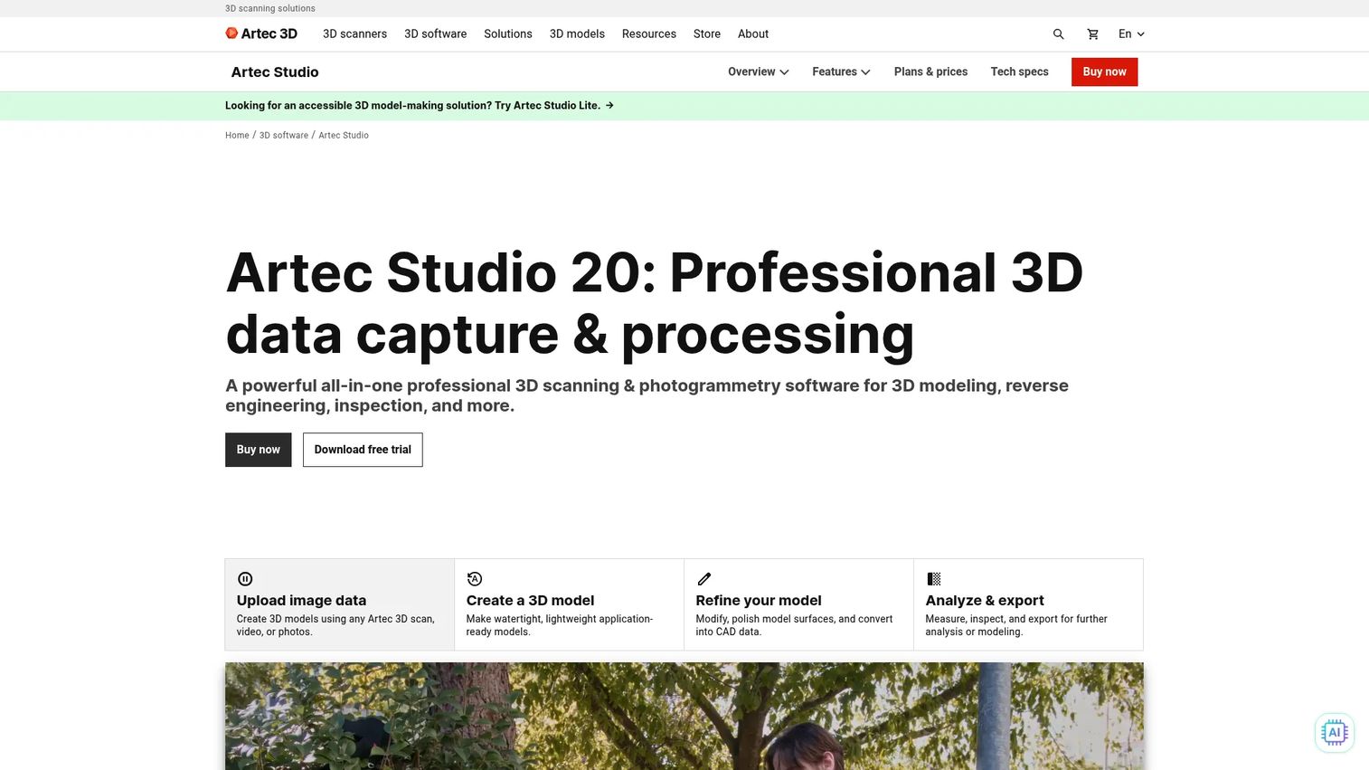
Artec Studio is professional 3D scanning and photogrammetry software for creating, editing, inspecting, and exporting digital models. What sets it apart is the hybrid approach: it processes both photogrammetry from photos and video and structured-light or laser scan data inside a single project, then hands you reverse-engineering and inspection tools to finish the job. For a product team digitizing physical parts, or an engineering group that needs dimensional accuracy rather than a good-looking render, that consolidation matters. You are not stitching three tools together to move from capture to a QA-ready mesh.
Best for: Teams needing professional 3D scanning, photogrammetry, and inspection workflows on small-to-medium objects.
Key strengths
- Hybrid capture: Fuse photogrammetry with 3D scan data in one project for higher-fidelity object reconstruction.
- Inspection tools: Built-in measurement, alignment, and reverse-engineering features for QA and manufacturing workflows.
- Workflow automation: Scripting on the Pro subscription lets you standardize repeatable processing steps across a team.
Why choose Artec Studio: Choose it when your capture source is more than photos and your deliverable has to hold up to measurement. The hybrid nature is the point, not a nice-to-have, and it fits teams already invested in Artec hardware or anyone whose work spans scanning and photogrammetry. If all you need is a textured mesh from a drone flight, a survey-focused tool is a cleaner fit.
Artec Studio pricing: Artec Studio Lite Individual starts at US $48 per month or US $480 per year, with a Lite Business tier at US $96 per month or US $960 per year. Artec Studio Pro runs US $1,700 on an annual subscription (which includes scripting) or US $4,300 as a lifetime license (scripting excluded). A 30-day free trial is publicly listed, so you can validate the workflow before committing. Its G2 rating sits at 3.5/5.
2. 3DF Zephyr
3DF Zephyr reconstructs 3D models from photos, video, and scan data, and it is one of the more approachable entry points into the category. The prompt-driven workflow walks you through import, orientation, and dense reconstruction with sensible defaults, which shortens the time from a raw image set to a first usable model. It also handles laser scans and LiDAR alongside photogrammetry, plus survey utilities like orthophotos, DSM/DTM generation, and GIS/CAD tools, so it flexes from a beginner's object scan to a survey-oriented mapping project.
Best for: Teams that want guided onboarding plus the option to grow into survey, mapping, and scan-registration workflows.
Key strengths
- Guided workflow: Prompt-driven steps make it one of the easiest photogrammetry software options for first-time users.
- Mixed inputs: Photos, video frames, and laser scan or LiDAR data feed into the same reconstruction pipeline.
- Survey outputs: Orthophotos, DSM/DTM, and measurement utilities support mapping and GIS deliverables.
Why choose 3DF Zephyr: The tiered editions let you start free and scale up as your projects get more demanding, which lowers the cost of validation. A maker can prove the concept on the free edition, then a team can move to the perpetual professional license when the work becomes recurring. That upgrade path is friendlier than tools that gate everything behind a single expensive license.
3DF Zephyr pricing: 3DF Zephyr Free is a perpetual personal-use edition at no cost. 3DF Zephyr Lite is €199 plus VAT as a perpetual license. There is a monthly subscription at €250 plus VAT, and the full 3DF Zephyr professional perpetual license is €4,200 plus VAT. Perpetual licenses include 12 months of updates; the monthly subscription runs 30 days and auto-renews. Its G2 rating is 4.5/5 based on early reviews.
3. Agisoft Metashape
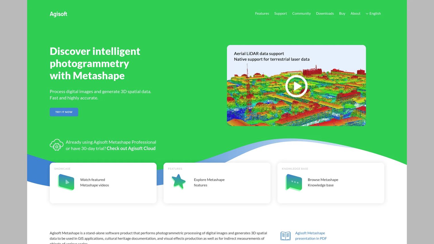
Agisoft Metashape is desktop photogrammetry software for turning images into 3D spatial data and a wide range of related outputs. It has a long-standing reputation for precision and control, and it runs across platforms, which matters if your team is split between Windows, macOS, and Linux. Metashape rewards users who are willing to trade a bit of speed for depth: granular processing settings, GPU acceleration, and network or cloud processing for larger jobs. The export options are broad enough to feed almost any downstream 3D or GIS workflow.
Best for: Photogrammetry teams that want desktop 3D reconstruction from photos with fine-grained control and broad export support.
Key strengths
- Photogrammetric depth: Detailed processing of digital images with control over each reconstruction stage.
- GPU acceleration: Faster dense reconstruction on capable hardware for large image sets.
- Network and cloud processing: Distribute heavy jobs across machines to scale throughput.
Why choose Agisoft Metashape: Pick it when you want maximum control over reconstruction quality and you value cross-platform support. It suits users who treat photogrammetry as a core, recurring part of their work rather than an occasional task, and who want a one-time license instead of a subscription. The learning investment is real, but so is the payoff in output fidelity.
Agisoft Metashape pricing: The Standard Edition is a node-locked license at $179, and the Professional Edition is a node-locked license at $3,499. A free 30-day trial and demo mode let you evaluate before buying. Educational and floating license pricing exists but was not publicly listed at the time of writing. Agisoft's G2 seller rating is 4.4/5.
4. Autodesk ReCap Pro
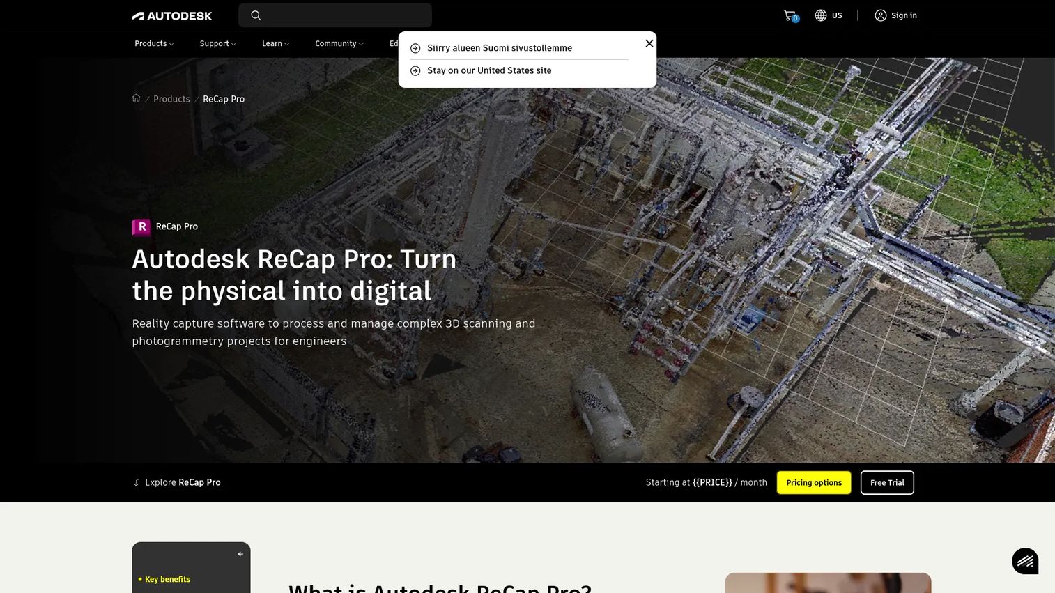
Autodesk ReCap Pro is reality capture software for 3D scanning and photogrammetry projects, and its biggest draw is where it sits: inside the Autodesk ecosystem. If your team already works in Revit, Civil 3D, or AutoCAD, ReCap Pro slots into an AEC pipeline so point clouds and reality data flow into design tools without format gymnastics. It handles automated registration, scan stitching and cleanup, advanced measurement and alignment, UAV features, and team collaboration with 100GB of storage.
Best for: AEC teams that need scan-based reality capture and point-cloud workflows connected to Autodesk design software.
Key strengths
- Ecosystem fit: Point clouds and reality data move directly into Revit, Civil 3D, and AutoCAD.
- Registration automation: Automated scan stitching, alignment, and cleanup reduce manual prep time.
- Collaboration: Team features and 100GB of storage support shared reality-capture projects.
Why choose Autodesk ReCap Pro: It earns its place when the surrounding stack is already Autodesk. For an AEC firm, keeping capture, design, and documentation in one vendor's toolset reduces handoff friction and interoperability headaches. If you are not in that ecosystem, a standalone photogrammetry tool is likely a more direct match for the job.
Autodesk ReCap Pro pricing: Autodesk lists ReCap Pro on monthly, annual one-year, and three-year subscription terms, plus Flex pay-as-you-go tokens and Business or Enterprise plans. A readable public price was not exposed on the product page at the time of writing, so check the official buy page for current figures in your region. Autodesk's G2 seller rating is 4.4/5.
5. PIX4Dmapper
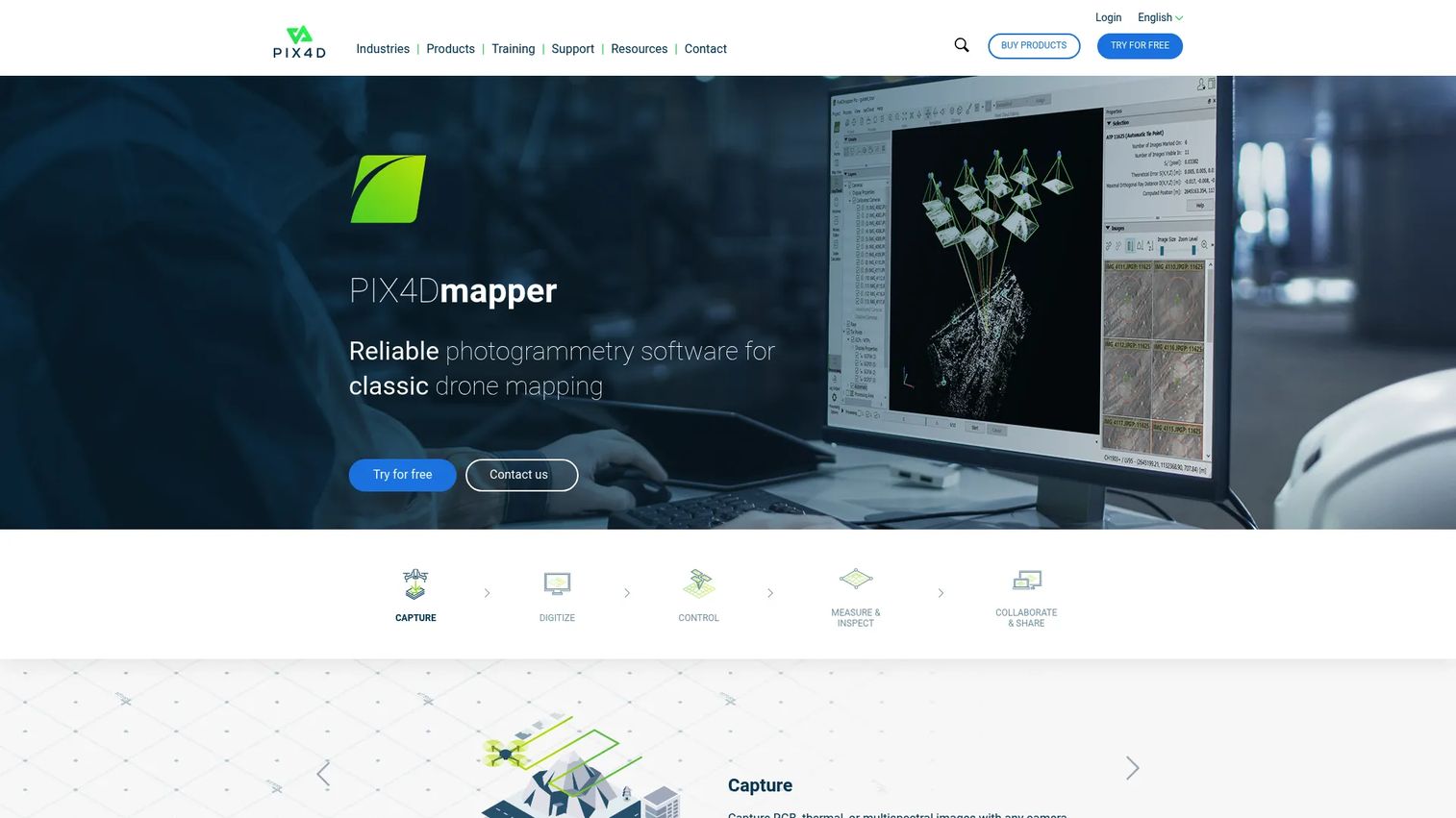
PIX4Dmapper is photogrammetry software built for drone mapping, 2D maps, and 3D models. It accepts RGB, thermal, or multispectral imagery from any camera or drone, then processes projects on the desktop with rayCloud for quality control and reporting. The measurement toolset, distances, areas, volumes, and its geospatial export options make it a natural fit for survey-oriented, measurement-heavy work where accuracy and coordinate systems are non-negotiable. rayCloud in particular gives you a way to inspect and verify reconstruction quality before you trust a deliverable.
Best for: Teams that need desktop photogrammetry for drone-based mapping and survey-grade 3D deliverables.
Key strengths
- Flexible imagery: Capture and process RGB, thermal, or multispectral images from any camera or drone.
- rayCloud QC: Inspect, verify, and report on reconstruction quality before delivery.
- Measurement outputs: Compute distances, areas, and volumes, then export multiple geospatial formats.
Why choose PIX4Dmapper: Choose it for survey and mapping work where measurement accuracy drives the value. It sits alongside PIX4Dmatic in the PIX4D lineup, with mapper focused on desktop project workflows and quality control. If your job is object capture for rendering rather than georeferenced mapping, a general-purpose reconstruction tool will feel less specialized.
PIX4Dmapper pricing: The listed plan is $332.50 per month billed yearly, which works out to $3,990 per year, and includes a desktop floating license, unlimited desktop processing, high-resolution outputs, and personal support and upgrades. The pricing page shows both monthly and yearly views. Its G2 rating is 4.2/5.
6. RealityCapture
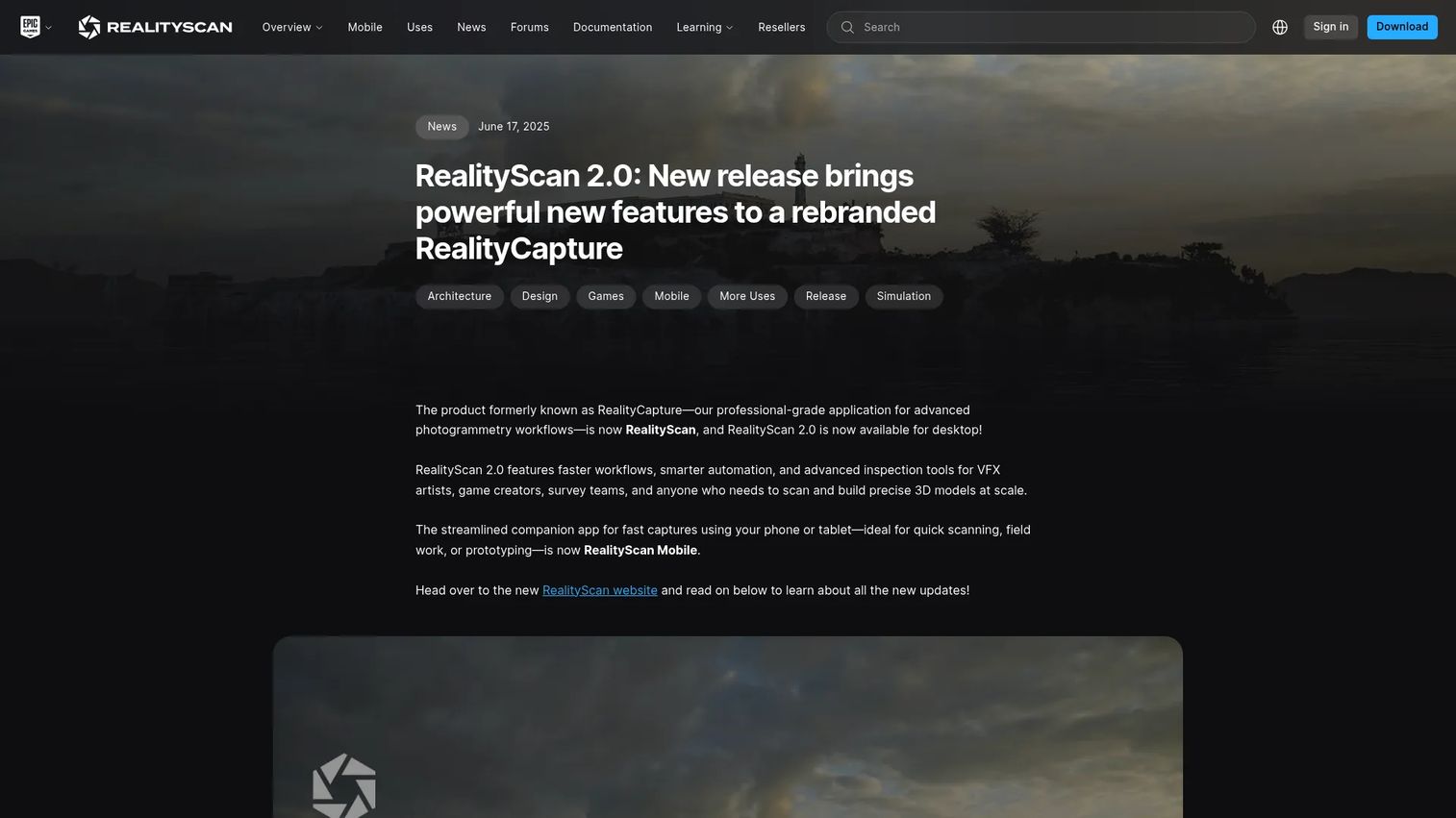
RealityCapture has built its reputation on raw performance and high-detail reconstruction, and it carries strong ties into the Unreal Engine ecosystem. For teams producing assets destined for real-time rendering, games, virtual production, or high-fidelity visualization, that pipeline connection removes a lot of export-and-convert overhead. Serious users evaluate it because it can churn through large image sets and laser scan data quickly while preserving fine surface detail.
Best for: Teams building high-detail 3D assets, especially those working within the Unreal Engine and real-time rendering pipeline.
Key strengths
- Performance: Fast processing of large photo and scan datasets on capable hardware.
- High detail: Preserves fine surface geometry and texture for demanding visualization work.
- Unreal pipeline: Tight integration with the Unreal Engine ecosystem for real-time assets.
Why choose RealityCapture: The depth of control is a workflow consideration to plan for, not a knock: the payoff is speed and detail that power users prize. Teams already producing real-time or cinematic content get the most value from the Unreal tie-in. If you need survey-grade georeferenced outputs above all, a dedicated mapping tool is the more direct fit.
RealityCapture pricing: RealityCapture's licensing and platform terms are published on the vendor's site and have shifted over recent releases, so confirm the current model and any subscription or per-use options directly before you commit. A product-specific G2 rating was not confirmed at the time of writing.
7. Meshroom
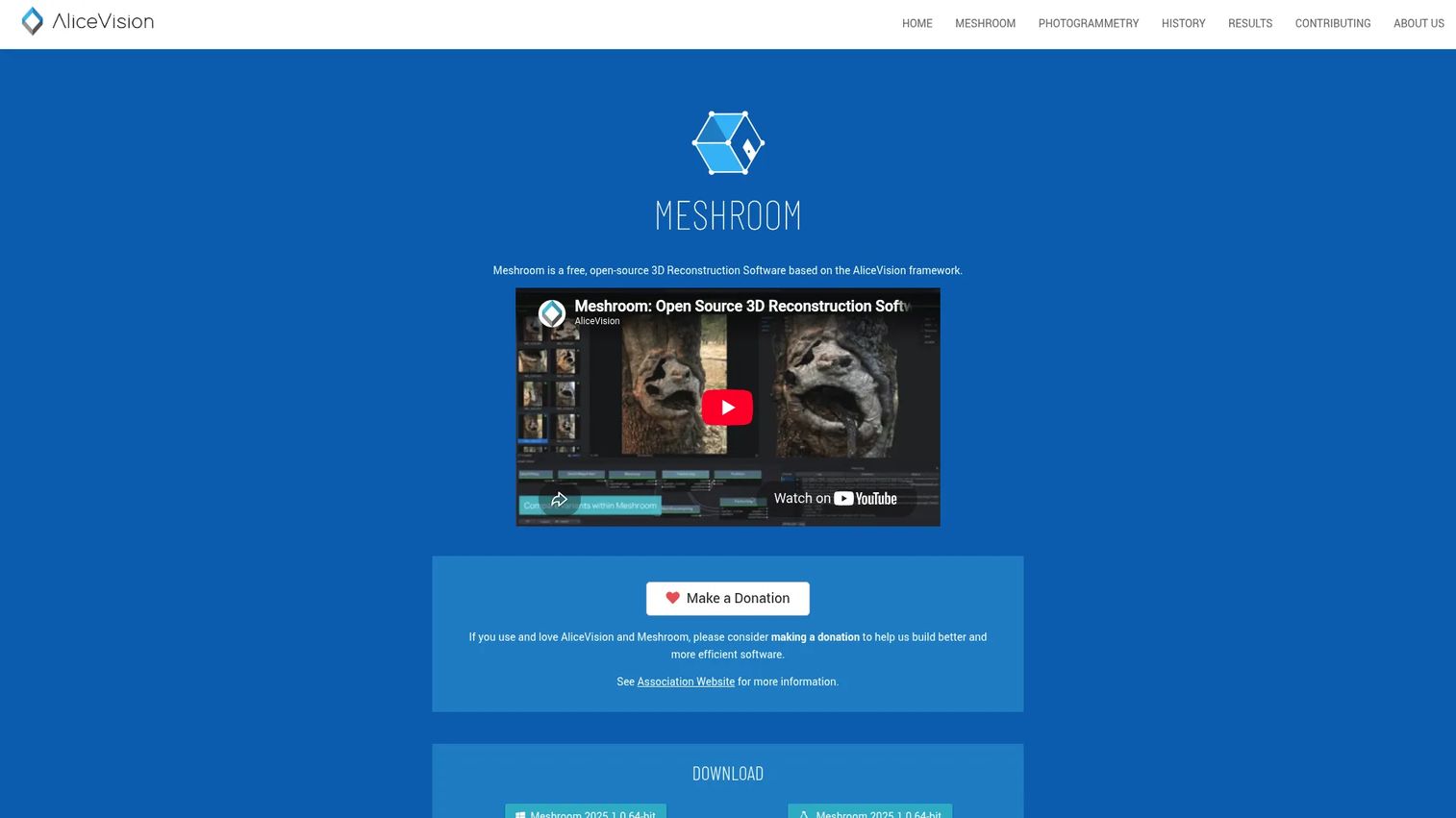
Meshroom is free, open-source 3D reconstruction and photogrammetry software built on the AliceVision framework. Its node-based editor exposes the full reconstruction pipeline as a graph you can rearrange, cache, and customize, which is why it appeals to budget-conscious teams and anyone who wants to experiment with the underlying steps. You can run reconstructions locally or push them to a render farm for heavier jobs. As the leading free photogrammetry software, it lets you validate an entire capture-to-model workflow at zero license cost.
Best for: Teams and individuals who want a no-cost, open-source photogrammetry tool and are comfortable with a hands-on setup.
Key strengths
- Fully open-source: No license fee, with source access for teams that want to customize the pipeline.
- Node-based editor: A visual graph with caching for tuning and re-running individual reconstruction steps.
- Scalable compute: Run locally or distribute across a render farm for large datasets.
Why choose Meshroom: It is the strongest pick when you want to experiment without spending, or when you need transparency into every stage of the pipeline. The node-based workflow rewards a more hands-on approach, which suits technical users and researchers. For a team that needs turnkey survey deliverables on a deadline, a commercial tool with dedicated support is the safer call.
Meshroom pricing: Meshroom is free and open-source, with no paid tiers listed on the official site. That makes it an easy first stop for proving out a photogrammetry model generator workflow before investing in commercial tooling. No public G2 rating was confirmed at the time of writing.
Considerations before you buy
A shortlist is only useful if you pressure-test it against how your team actually works. Weigh these factors before committing.
Capture source and input support
Match the tool to what you can actually capture. If you fly a drone, prioritize georeferencing and multispectral or thermal support. If you scan objects, a hybrid photogrammetry-plus-scan tool earns its keep. Confirm the software ingests your specific inputs, whether that is video frames, laser scans, or LiDAR, before you buy.
Output formats and downstream fit
The deliverable decides the tool. Survey work needs orthomosaics, DSM, and GeoTIFF exports with coordinate systems intact. Asset creation needs clean meshes in OBJ, FBX, or PLY. Reverse engineering needs measurement-accurate geometry. List your required export formats first, then filter.
Ease of first result versus depth of control
Guided workflows get you to a usable model faster, which lowers your speed to validate. Deep manual control produces higher fidelity but costs more ramp time. Be honest about whether your team wants a first result this afternoon or maximum accuracy over a longer learning curve.
Platform, hardware, and licensing model
Confirm OS support up front, since not every tool runs on macOS or Linux. Heavy reconstruction leans hard on GPU, so check hardware requirements against your machines. Then match the license to your cadence: perpetual licenses suit steady, recurring work, while subscriptions and free tiers reduce the cost of occasional projects and experimentation.
Conclusion
There is no single best photogrammetry software, only the best fit for your capture source, deliverable, and platform. If you digitize objects and need inspection-grade accuracy, a hybrid tool like Artec Studio fits. If you want the gentlest onramp with room to grow, 3DF Zephyr and its free edition are hard to beat. For precision and cross-platform control, Agisoft Metashape rewards the investment. Autodesk ReCap Pro is the natural choice inside an AEC stack, PIX4Dmapper owns drone mapping and survey deliverables, RealityCapture leads on speed and Unreal integration, and Meshroom gives you a capable, no-cost pipeline to experiment with.
The practical move: shortlist two or three tools that match your inputs and outputs, then run the same capture set through each free trial or free edition before you spend a cent. Ten photos of a real subject processed through two candidates will tell you more than any spec sheet.
FAQs
3DF Zephyr is a common starting point thanks to its prompt-driven, guided workflow and free personal-use edition. Meshroom is another beginner-friendly free option, though its node-based interface rewards a more hands-on approach. Both let you produce a first 3D model without a paid license, so you can learn the fundamentals before spending.
PIX4Dmapper is purpose-built for drone-based mapping, with support for RGB, thermal, and multispectral imagery, rayCloud quality control, and geospatial outputs like orthomosaics and DSM. Agisoft Metashape and 3DF Zephyr also handle aerial imagery and georeferencing well. With about 58% of commercial photogrammetry projects now using drone imaging, most serious tools support UAV workflows.
Yes. Tools like 3DF Zephyr and Artec Studio can extract frames from video and treat them as an image set for reconstruction. Video works best when you move slowly and steadily to keep frames sharp and maintain overlap between them. Blurry frames from fast motion are the main thing to avoid.
Look for OBJ, FBX, PLY, and STL for meshes and models, LAS or LAZ for point clouds, and GeoTIFF for orthomosaics and elevation data. Survey and GIS work also benefits from DSM and DTM outputs and CAD-compatible formats. List the formats your downstream tools require, then confirm the software supports them before buying.
For many jobs, yes. Meshroom is fully open-source and can produce production-quality reconstructions, and 3DF Zephyr Free handles smaller personal projects. Free photogrammetry software tends to trade guided workflows, dedicated support, and some advanced survey features for a zero price. For deadline-driven survey deliverables, a commercial tool with support is often the safer choice.
Agisoft Metashape runs on Windows, macOS, and Linux, making it one of the more flexible cross-platform choices. Meshroom is primarily Windows and Linux focused. Several tools are Windows-first, so confirm macOS support on the vendor's site before you commit if your team runs Apple hardware.
LiDAR measures distance directly with laser pulses to build a point cloud, while photogrammetry infers 3D geometry from overlapping photographs. Photogrammetry captures color and texture natively and needs only a camera; LiDAR excels in low-texture or low-light conditions and through vegetation. Many tools, including 3DF Zephyr and Artec Studio, fuse both data sources in one project.
It depends on subject size and complexity, but a small object often needs 30 to 100 photos, while a building or site can require several hundred. The key rule is generous overlap, roughly 60 to 80% between adjacent frames, so the software can match features reliably. More coverage from varied angles beats a smaller set shot from a single position.