


Parcel data is scattered. Every county runs its own viewer, its own schema, and its own refresh schedule. You need a property line in one place, an owner name in another, and acreage in a PDF that opens crooked.
Most teams try to solve this by opening more tabs. That is the wrong fix. The problem is not access. It is that parcel data lives in hundreds of disconnected systems that never agree with each other.
So the real question buyers ask is not "where do I find parcel data?" It is "which platform gives me accurate boundaries, a usable map viewer, and a delivery mode that fits how my team already works?"
The GIS software market reached roughly USD 10.8 billion in 2025 and is projected to hit USD 21.98 billion by 2030, according to The Business Research Company (2025). Parcel mapping sits inside that growth. More vendors, more delivery formats, more decisions to get wrong.
This guide compares seven tools by the four things that actually determine fit: boundary accuracy, map viewer quality, data delivery, and workflow readiness for property research, government, and enterprise teams.
What's inside
This guide is for GIS teams, local governments, property researchers, and product managers evaluating parcel data workflows. It covers tools for viewing, searching, analyzing, and delivering parcel and property boundary data.
We chose and ranked tools against four criteria:
- Coverage and accuracy: how complete the parcel boundaries are, and how transparent the vendor is about refresh dates
- Map viewer quality: how usable the map-based visualization is for search and analysis
- Data delivery: support for web apps, APIs, feature services, and bulk downloads
- Enterprise and government fit: licensing, team access, and public-sector workflows
TL;DR
- Best for authoritative parcel data and delivery formats: Regrid
- Best for broad web GIS and map sharing: ArcGIS Online
- Best for quick property line lookup on mobile and desktop: LandGlide
- Best for county and city government parcel workflows: Schneider Geospatial
- Best for scalable web mapping APIs and credits-based usage: ArcGIS Location Platform
- Best for desktop GIS editing and parcel management work: ArcGIS Pro
- Best for public parcel layers and community map context: Esri Community Maps
Pick based on where the data needs to go, not on how the map looks. A field researcher and a GIS analyst need different tools even when they look at the same parcel.
What is parcel mapping software
Parcel mapping software is software that displays, searches, analyzes, and delivers property boundary and parcel record data on a map.
At its core, a parcel viewer draws property lines over a basemap and links each parcel to its record: owner name, acreage, tax parcel ID, and land ownership details. A tax parcel viewer adds assessment and tax data. A property mapper layers ownership and boundary context for research.
Core features to expect:
- Parcel boundaries and property lines drawn accurately over aerial or street basemaps
- Ownership and record fields including owner name, mailing address, acreage, and sale history
- Parcel search by address, owner, or parcel ID
- Map analysis tools for measuring, buffering, and comparing parcels
- Data export and delivery through downloads, APIs, and feature services
- Coverage transparency showing county count and refresh dates
The difference between a basic viewer and a full platform is delivery. A viewer shows you a parcel. A platform hands the parcel data to your GIS, your app, or your enterprise pipeline.
When to use parcel mapping software
Research property boundaries and ownership
You need to confirm who owns a parcel, how big it is, and where the line sits. This is the core job in property research, land acquisition, and due diligence.
An agent verifying a listing pulls up the parcel, checks the owner name against the deed, and reads the acreage before a call. A field crew standing on a lot line confirms the boundary on a phone. Fast lookup beats a trip to the county office.
Visualize land records in a web map
Spreadsheets and static county pages hide relationships. A web map viewer shows them. You zoom, layer parcels over aerials, and see how boundaries fit against roads, zoning, and neighboring lots.
A planning team reviewing a corridor project layers parcels, ownership, and proposed routes in one view, then shares a link with stakeholders. Nobody installs anything. Everyone sees the same map.
Deliver parcel data into GIS or product workflows
Sometimes the map is not the deliverable. The data is. Product and data teams need parcel boundaries flowing into their own systems through APIs, feature services, cloud tiles, or recurring bulk downloads.
A quick checklist for delivery fit:
- Does the tool offer an API or feature service, not just a viewer?
- Can you pull bulk data downloads for offline processing?
- Does it support recurring enterprise feeds with predictable refresh?
- Does the schema stay standardized across counties?
Comparison table
The table below compares each tool by best fit, key differentiator, pricing style, and current G2 rating. Some enterprise products use credits or quote-based pricing, so entry prices vary by user count and usage. Ratings and prices reflect verified values at generation time; where a rating was not verifiable, the cell is left open.
| # | Product | Best for | Key differentiator | Pricing | G2 rating |
|---|---|---|---|---|---|
| 1 | Regrid | U.S. parcel data and delivery | Standardized nationwide parcel schema plus flexible delivery | Free; Pro $10/mo | Not available |
| 2 | ArcGIS Online | Broad web GIS and sharing | Cloud web GIS for maps, apps, and analysis | User-type licenses; free tier | 4.3/5 |
| 3 | LandGlide | Quick property line lookup | Mobile and desktop parcel app with ownership details | $9.99/mo or $99.99/yr | Not available |
| 4 | Schneider Geospatial | Government parcel workflows | GIS SaaS built for county and city operations | Quote-based | Not enough reviews |
| 5 | ArcGIS Location Platform | Map APIs and app embedding | Pay-as-you-go location services and hosted data | Free tier; support $2,500/yr | 4.5/5 |
| 6 | ArcGIS Pro | Desktop GIS and parcel editing | Professional cadastral editing and analysis | User-type licenses; free trial | Not available |
| 7 | Esri Community Maps | Public parcel context layers | Community-sourced authoritative basemap data | Free to participate | Not available |
Best 7 tools for parcel mapping software
1. Regrid
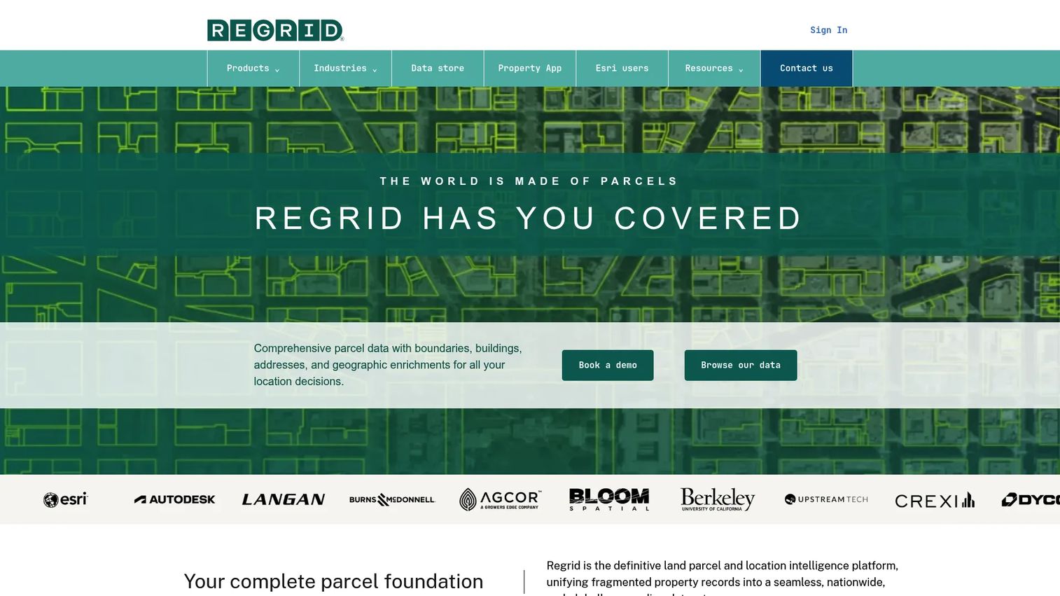
Regrid is a parcel data provider built around one job: giving teams standardized U.S. parcel boundaries and delivering them wherever they need to go. It pairs a nationwide dataset with a Property App for lookup and a set of delivery options for GIS and data teams. If your work starts and ends with parcel data, this is the tool built for it.
The standout is the standardized schema. County parcel data is notoriously inconsistent, and Regrid normalizes fields across jurisdictions so a parcel in one county reads the same as a parcel in another. That consistency is what makes downstream analysis and integration work at scale.
Best for: Teams needing accurate U.S. parcel data plus flexible delivery into apps, GIS, or data stores.
Key strengths
- Nationwide parcel data with a standardized schema
- Property App for lookup, tracking, and notes on web and mobile
- Delivery via bulk files, API, tiles, and feature service
- Coverage and refresh visibility across counties
Why choose Regrid: Choose Regrid when parcel data is the deliverable, not a side feature. It fits data teams and product teams who need clean boundaries flowing into their own systems, and researchers who want reliable lookup without wrangling county sites.
Regrid pricing: The Property App offers a free Starter plan. Pro is $10 per month or $100 per year. Team is $20 per month per user and adds collaboration plus premium data fields. Enterprise parcel data, API, and data-store delivery are priced separately through Regrid.
A current G2 rating was not verifiable at generation time.
2. ArcGIS Online
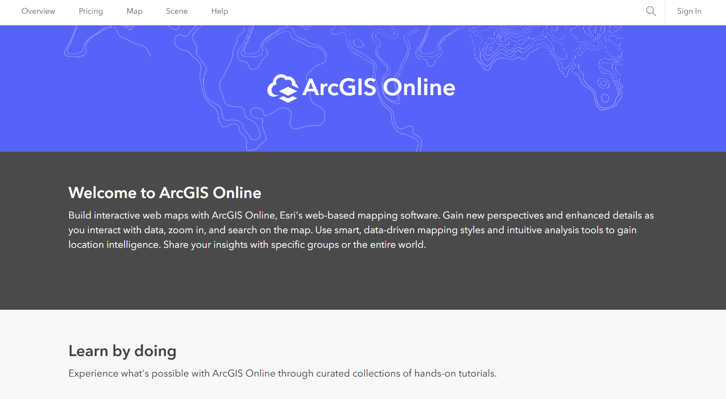
ArcGIS Online is Esri's cloud-based web GIS for creating, sharing, and analyzing maps, layers, and apps. It is not parcel-specific, but it is where many teams host parcel layers, publish feature services, and share map viewers with stakeholders. If your organization already runs on Esri, parcel work slots in here.
Its strength is breadth. You create maps, run basic analysis, host feature layers, and share everything through a browser without local installs. Parcel data becomes one layer among many in a broader web GIS environment.
Best for: Organizations needing managed web GIS for mapping, sharing, and spatial analysis across teams.
Key strengths
- Create and share interactive maps and apps
- Basic analysis and workflow automation
- Host imagery, feature layers, and collaboration content
- Browser-based access with no desktop install
Why choose ArcGIS Online: Choose it when parcel data is part of a wider GIS program, not a standalone need. It fits teams already in the Esri ecosystem who want a shared, managed platform for map-based visualization and sharing.
ArcGIS Online pricing: Sold through annual user-type licenses across Creator, Professional, and Professional Plus. User types include credits, and a Viewer type is available for read-only access.
ArcGIS Online holds a 4.3 out of 5 rating on G2.
3. LandGlide
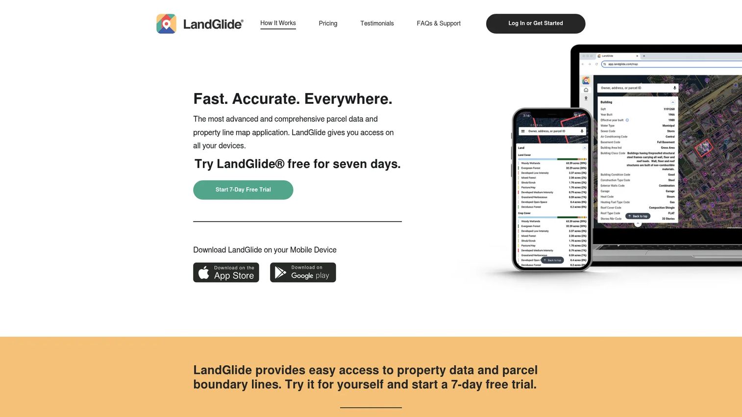
LandGlide is a property line map app built for fast parcel lookup on mobile and desktop. Tap a parcel, see the owner, acreage, mailing address, sale price, and transfer date. It covers parcel records across U.S. counties and is designed for people who need answers in the field, not a full GIS suite.
The appeal is speed and simplicity. GPS locates you on a parcel, the boundary appears, and the record loads. For field verification and quick property research, that immediacy is the whole point.
Best for: Users and small teams needing parcel maps and ownership details for on-the-go property research.
Key strengths
- Unlimited access on mobile and desktop
- Parcel records across U.S. counties
- Owner, mailing address, acreage, sale price, and transfer date
- GPS-based parcel location in the field
Why choose LandGlide: Choose LandGlide when the job is quick lookup and field verification, not enterprise data delivery. It fits agents, appraisers, and field crews who need parcel details fast without a GIS learning curve.
LandGlide pricing: The Personal plan is free for the first seven days, then $9.99 per month or $99.99 per year. Corporate Accounts support multiple licenses with per-user bulk discounts and monthly, quarterly, or yearly billing.
A current G2 rating was not verifiable at generation time.
4. Schneider Geospatial
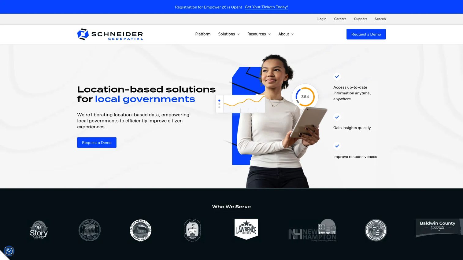
Schneider Geospatial is a GIS-based SaaS platform built for local governments. Instead of a general viewer, it centers parcel management around the workflows counties and cities actually run: appraisals, appeals, searches, forms, and public-facing citizen access. It centralizes location-based data with GIS integration for public-sector operations.
The differentiator is workflow depth for government. Parcel data connects to permitting, licensing, forms, and fee collection, so a county runs assessment, appeals, and citizen requests from one platform rather than stitching tools together.
Best for: County and city governments needing GIS-enabled parcel and public-sector workflow software.
Key strengths
- Centralized location-based data with GIS integration
- Parcel management for appraisals, appeals, searches, and forms
- Citizen access to parcel and property records
- Permitting and licensing workflows with online forms and fee collection
Why choose Schneider Geospatial: Choose it when you are a local government modernizing parcel and land records, not a commercial team doing lookup. It consolidates public-sector workflows and adds citizen access that a standalone viewer cannot.
Schneider Geospatial pricing: Pricing is quote-based, and the site directs buyers to demos and quotes.
G2 lists the vendor but does not yet have enough reviews to show a rating.
5. ArcGIS Location Platform
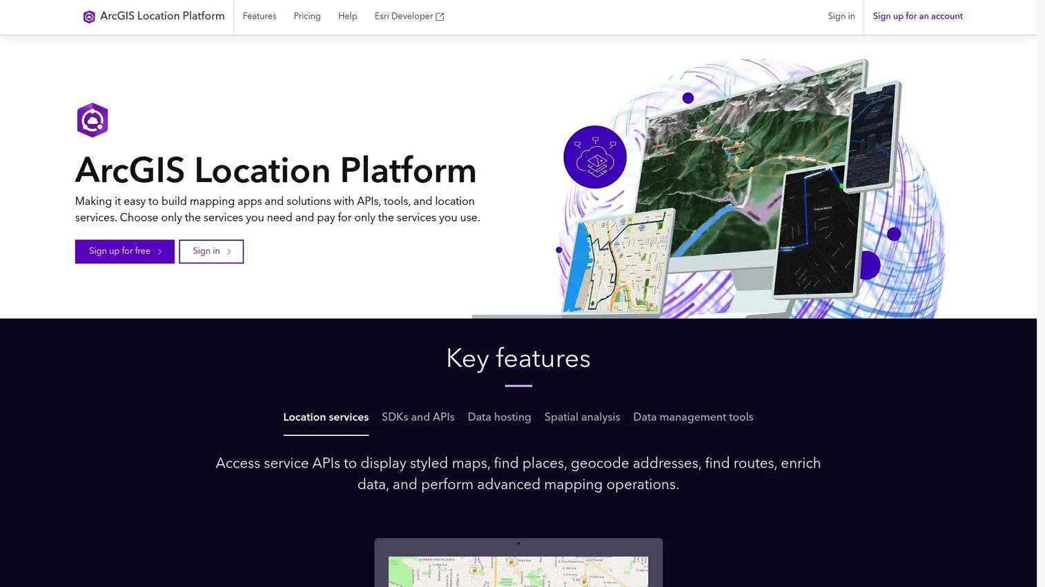
ArcGIS Location Platform is Esri's platform-as-a-service for building mapping and spatial analysis into apps and websites. It exposes location services through APIs and hosted data services, with pay-as-you-go usage. If you are embedding parcel maps into a product rather than browsing them in a viewer, this is the developer-facing option.
The strength is delivery through code. Basemaps, geocoding, routing, feature services, and vector tiles all come as services you call from your own app. Usage-based pricing lets teams scale from a prototype to production without a seat license per user.
Best for: Developers and organizations embedding map-centric parcel experiences into apps with hosted geospatial services.
Key strengths
- Basemap, places, geocoding, routing, and elevation services
- Hosted feature, vector tile, map tile, and image services
- Spatial, raster, and geometry analysis via API
- Pay-as-you-go usage model
Why choose ArcGIS Location Platform: Choose it when you build products, not just view maps. It fits developer and data teams embedding parcel layers and location services into applications with usage-based costs.
ArcGIS Location Platform pricing: Many services include free usage tiers. Technical support is $2,500 per year billed annually. Additional support services and a services retainer are quote-based. Sample low-volume usage can estimate at $0.00 per month.
The closest verified G2 rating is for Esri ArcGIS at 4.5 out of 5, which may not map exactly to this product.
6. ArcGIS Pro
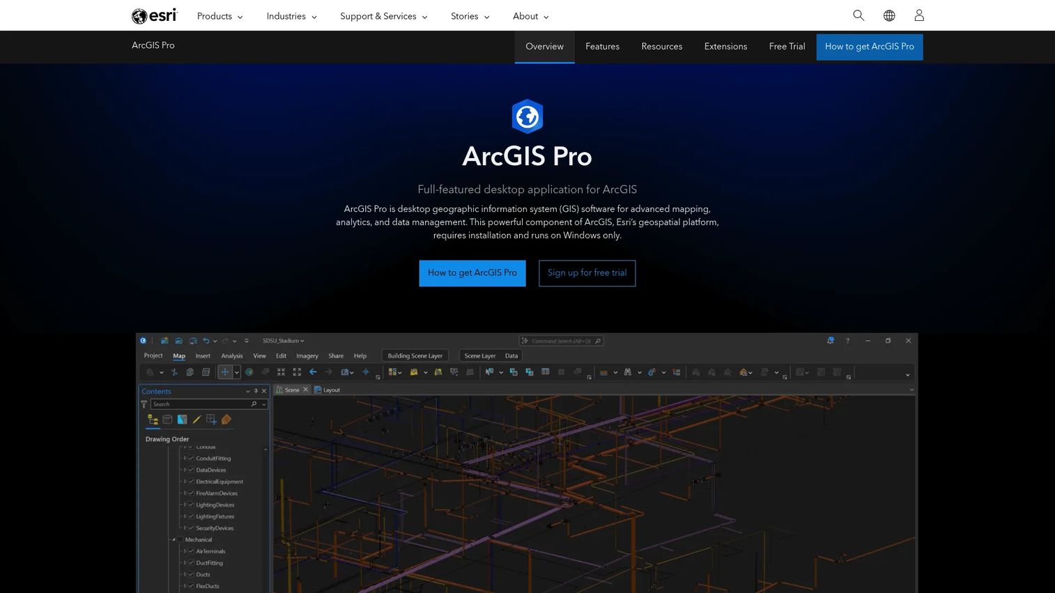
ArcGIS Pro is Esri's professional desktop GIS application for mapping, spatial analysis, data management, and collaboration. For parcel work, this is where serious cadastral editing happens: maintaining parcel fabrics, correcting boundaries, and running deep analysis that a browser viewer cannot handle.
The strength is depth. Two-dimensional and three-dimensional mapping, geoprocessing, and automation give GIS professionals the control to build and maintain parcel data rather than just read it. This is a build-and-edit tool, not a casual browser.
Best for: GIS professionals needing desktop-grade parcel editing, boundary management, and analysis.
Key strengths
- 2D and 3D mapping
- Geoprocessing and spatial analysis
- Parcel and boundary editing workflows
- Automation and customization
Why choose ArcGIS Pro: Choose it when your team maintains parcel data, not just consumes it. It fits GIS analysts and cadastral editors doing precise boundary work and advanced analysis in a desktop environment.
ArcGIS Pro pricing: Sold through ArcGIS Online or ArcGIS Enterprise user types across Basic, Standard, and Advanced license levels. A free trial is available. No public numeric list price is shown; Esri directs buyers to ArcGIS Online pricing, Enterprise pricing, or sales.
A current numeric G2 rating was not verifiable at generation time.
7. Esri Community Maps

Esri Community Maps is a community data-sharing program that helps improve Esri basemaps and Living Atlas content with authoritative local GIS data. It is not a full parcel database. Instead, it lets organizations contribute local data that enriches the basemaps and context layers parcel maps sit on top of.
Treat it as a supporting layer, not a parcel management suite. When a county or campus contributes authoritative features, everyone mapping that area gets better context around their parcels: campuses, parks, landmarks, and detailed local features.
Best for: Organizations wanting to share authoritative local GIS data to improve Esri basemaps and map context.
Key strengths
- Contribute authoritative local data to Esri basemaps
- Add detailed features via the Community Maps Editor
- Supports Living Atlas and related content
- Free to participate
Why choose Esri Community Maps: Choose it as a complement, not a core parcel tool. It fits organizations that want richer basemap context under their parcel layers and are willing to contribute local data in return.
Esri Community Maps pricing: Participation is described as free, and contributed data is free to ArcGIS users as part of ArcGIS Living Atlas. No public price is listed.
A current G2 rating for this specific program was not verifiable at generation time.
Considerations
Coverage and refresh transparency
Parcel accuracy and recency vary by geography. Before buying, verify the county count, the refresh dates, and how complete the parcel boundaries are in the areas you care about. A vendor that publishes a coverage map and refresh schedule is telling you something a vendor that hides them is not. Trust signals here are concrete, not marketing copy.
Delivery mode and integration fit
Match the delivery mode to how your team works. A viewer-only tool suits lookup. A web GIS platform suits sharing and analysis. An API or feature service suits embedding into products. Bulk downloads suit offline processing. If you need parcel data inside another system, confirm the API and feature service before you commit.
Government and enterprise readiness
Local governments and larger teams need more than a map viewer. Check licensing and team access, sharing and permission controls, auditability, and support expectations. Public-sector buyers should confirm citizen access and workflow depth. Enterprise buyers should confirm the platform scales across users and geographies without breaking the data model.
Field use versus office analysis
A mobile parcel lookup app and a desktop GIS editor serve different users. Field crews and agents need fast, GPS-driven lookup on a phone. GIS analysts need desktop editing and analysis. Buying a heavy desktop tool for field lookup, or a lightweight app for cadastral editing, is a mismatch. Map the tool to the user.
Total cost of ownership
Look past the entry price. Factor subscription tiers, credit usage, team licenses, data refresh costs, and implementation overhead. A free viewer can cost more in staff time than a paid platform that delivers clean data. Evaluate the full operating cost across a year, not just the sticker on the first plan.
Conclusion
There is no single best parcel mapping software. There is the one that fits your workflow.
Pick Regrid when parcel data itself is the deliverable and you need standardized boundaries with flexible delivery. Pick ArcGIS Online when parcel work lives inside a broader web GIS program. Pick LandGlide when you need fast property line lookup on a phone in the field. Pick Schneider Geospatial when you are a local government modernizing parcel and land records.
For the specialists: ArcGIS Location Platform fits teams embedding maps into products, ArcGIS Pro fits desktop cadastral editing, and Esri Community Maps adds authoritative context under your parcel layers.
The next step is simple. Write down where your parcel data needs to end up, a viewer, a shared map, an app, or a data pipeline, and choose the tool built for that destination. Match delivery mode to workflow, verify coverage in your geography, and start with a free tier or trial before you scale to a team license.
FAQs
Parcel mapping software displays, searches, analyzes, and delivers property boundary and parcel record data on a map. It links each parcel to fields like owner name, acreage, and tax parcel ID, and delivers that data through viewers, APIs, feature services, or downloads.
For quick property line lookup on mobile and desktop, LandGlide is built for it, with GPS-based parcel location and ownership details. For standardized property line data delivered into GIS or apps, Regrid offers nationwide parcel boundaries with a consistent schema.
Check coverage and county count, refresh dates, and how accurate the parcel boundaries are in your area. Then confirm search by address, owner, and parcel ID, plus the record fields you need. Finally, verify the delivery mode, whether that is a web viewer, an API, or bulk data downloads.
Yes. Schneider Geospatial is built for county and city governments, with parcel management for appraisals, appeals, searches, and citizen access. It connects parcel data to permitting, licensing, and forms so public-sector teams run these workflows on one platform.
Yes. Regrid delivers parcel data through an API, tiles, and a feature service alongside bulk files. ArcGIS Location Platform exposes location and hosted data services through APIs for teams embedding parcel maps into apps and websites.
Accuracy varies by county and refresh date. Parcel boundaries are derived from county records and are suitable for research, planning, and visualization, but they are not a substitute for a surveyed legal boundary. Always check the vendor's refresh dates and coverage transparency for your specific geography.
Parcel mapping software focuses specifically on property boundaries, ownership, and parcel records. GIS software like ArcGIS Online or ArcGIS Pro is broader, handling many spatial data types, analysis, and map creation. Parcel data is often one layer inside a wider GIS platform.