


Your parcel data lives in a spreadsheet. Your lease records sit in a shared folder someone renamed last quarter. Your maps are in a GIS tool nobody outside the office can open. And when a permit deadline slips, three people spend an afternoon reconstructing what happened.
That is the real problem land management software solves. Not "digital transformation." Fragmentation.
Land records scatter across maps, leases, permits, ownership files, and reporting exports. Each system holds one piece of the truth. None of them talk. So visibility drops, deadlines get missed, and decisions wait on someone finding the right file.
The market reflects how many teams are trying to fix this. The global land management software market reached $4.2B in 2025, according to Market Intelo (2025), and is projected to grow at a 10.3% CAGR through 2034. Large enterprises captured 58.7% of that spend in 2025, per the same report, which tells you where the deepest workflows sit.
This guide compares eight land management tools by the workflow each handles best: cloud permitting, oil and gas leasing, GIS-heavy administration, and reporting depth. Pick based on your dominant bottleneck, not the longest feature list.
What's inside
This guide is for teams comparing land management software solutions across public sector, oil and gas, and enterprise land workflows. We selected and organized the tools by the job they do best, not by brand size.
Every tool was assessed on four criteria:
- GIS mapping and geospatial visualization depth
- Cloud versus on-premise delivery and collaboration
- Reporting, search, and export capability
- Integrations, workflow automation, and data integrity
Use it to shortlist two or three tools that match your primary workflow, then dig into pricing and demos.
TL;DR
- Best for cloud permitting teams: Cloudpermit
- Best for energy land asset workflows: Pandell LandWorks
- Best for municipal development workflows: GeoCivix
- Best for permitting and licensing modernization: Citizenserve Permitting
- Best for public sector land and permitting operations: POSSE PLS
- Best for enterprise permitting suites: OpenGov Permitting & Licensing
- Best for oil and gas lease and tract management: P2 iLandMan
- Best for GIS-heavy land operations: LandView
If your bottleneck is permits and citizen access, start with the cloud permitting tools. If it is leases, tracts, and ownership accuracy, the oil and gas land management software section is where to look.
What is land management software
Land management software is a system that tracks land records, leases, permits, parcels, GIS data, ownership, obligations, and reporting from one place, so teams stop reconciling the same data across disconnected tools.
It sits between raw geospatial data and the operational decisions that data drives. Some platforms lean toward public sector permitting. Others lean toward energy land administration. Most cover a shared set of functions.
Key functions of land administration software:
- GIS mapping and geospatial visualization: see parcels, tracts, and boundaries on an interactive map instead of a static file
- Ownership and acreage history tracking: maintain chain of title, ownership records, and acreage history over time
- Reporting, search, and exports: query records fast and push clean data to Excel, PDF, or downstream systems
- Workflow automation and alerts: trigger approvals, obligation reminders, and permit steps without manual chasing
- Integrations with ERP, finance, and document systems: connect land data to the systems of record your organization already runs
The distinction worth knowing: a land management system software handles the day-to-day operational workflow, while land administration software is the broader discipline of maintaining authoritative records of tenure, ownership, and rights. Most modern tools blur the two.
When to use land management software
Manage scattered land records
You know this signal. A tract question triggers a search across three spreadsheets, a shared drive, and someone's memory. When ownership tracking, tract data, and document search stop being findable in seconds, you have outgrown spreadsheets. A dedicated system centralizes records so acreage history and chain of title stay current, not reconstructed.
Coordinate GIS and reporting
Mapping and reporting fail when they live apart. You visualize a parcel in one tool, then rebuild the same data by hand for a report in another. Use land management software when geospatial visibility, dashboards, and exports need to draw from a single source. GIS mapping software paired with land reporting software turns a map view into a report without re-keying data.
Standardize cloud delivery and approvals
Distributed teams and field staff need access from anywhere, with governance that keeps records clean. Reach for cloud land management software when approvals span multiple people, obligation monitoring can't slip, and you want automated workflows instead of email threads. Cloud delivery also means updates propagate to everyone at once, not office by office.
Comparison table
The best land management system software depends on whether you prioritize GIS, permitting, oil and gas lease tracking, or cloud collaboration. Public sector teams weight permitting and citizen access. Energy teams weight lease, tract, and ownership accuracy. The table below maps each tool to the workflow it handles best.
| # | Product | Best for | Key differentiator | Pricing | G2 rating |
|---|---|---|---|---|---|
| 1 | Cloudpermit | Cloud permitting teams | Community development and public works workflows in one cloud platform | Not public | 0.3/5 |
| 2 | Pandell LandWorks | Energy land asset workflows | Interactive land asset mapping with chain-of-title workflows | Not public | Not available |
| 3 | GeoCivix | Municipal development workflows | Citizen self-service portal with electronic plan review | Quote-based | Not available |
| 4 | Citizenserve Permitting | Permitting and licensing modernization | Online permit submissions with integrated plan review | $1,500/user/year | Not available |
| 5 | POSSE PLS | Public sector land and permitting operations | Rule-driven process enforcement for agency data | Not public | Not available |
| 6 | OpenGov Permitting & Licensing | Enterprise permitting suites | Applicant portal, AI review, and automated renewals | Not public | 4.5/5 |
| 7 | P2 iLandMan | Oil and gas lease and tract management | Real-time lease and land info with interactive map views | Not public | 3.5/5 |
| 8 | LandView | GIS-heavy land operations | Drone-based mapping bundles with agronomy support | From $480/month | Not available |
Pricing for several of these platforms is quote-based, which is normal in public sector and energy procurement. Treat the table as a shortlisting tool, then request a scoped demo.
Best 8 tools for land management
1. Cloudpermit
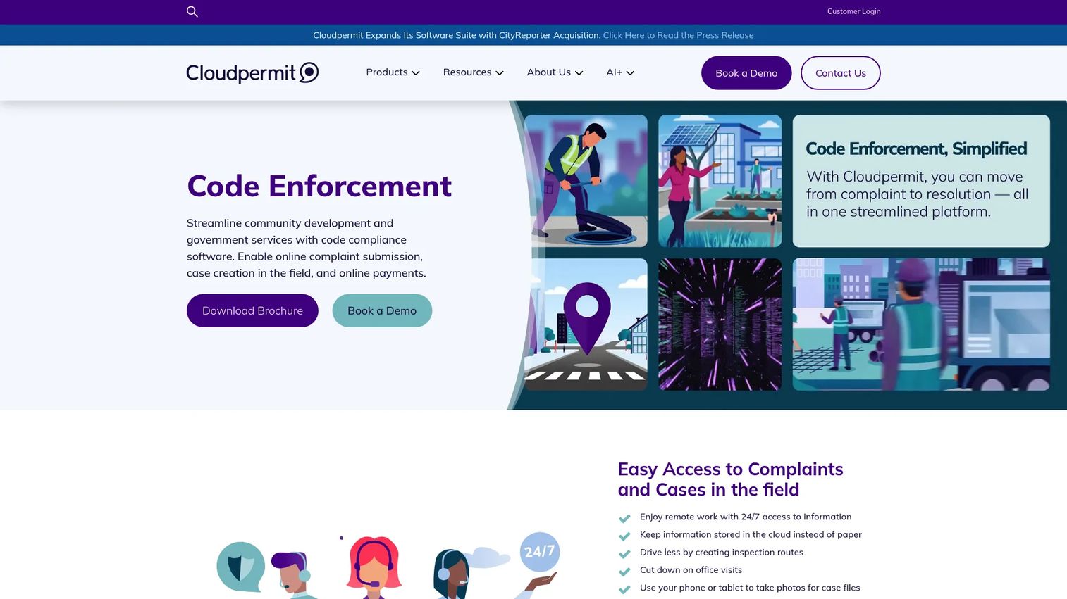
Cloudpermit is a cloud-based platform for local governments that covers community development and public works workflows. It brings building permitting, licensing, and planning and zoning into one browser-based system, so staff, applicants, and inspectors work from the same records. The pitch is straightforward: replace paper and disconnected tools with a single cloud workflow.
Best for: Local governments digitizing permitting, inspections, licensing, and code enforcement in one place.
Key features
- Building permitting workflows
- Licensing management
- Planning and zoning tools
- Cloud access for staff and applicants
- Inspection and code enforcement support
Why choose Cloudpermit: If your bottleneck is permit processing and citizen access rather than GIS depth or lease tracking, Cloudpermit keeps the workflow in one cloud system. It fits municipalities moving off paper and spreadsheets without wanting to run their own servers.
Pricing: Cloudpermit does not publish pricing on its site. Contact the vendor for a quote scoped to your jurisdiction.
On G2, it holds a 0.3/5 rating based on a small number of reviews, so validate fit with a reference call.
2. Pandell LandWorks

Pandell LandWorks is cloud-based land asset management software built for energy companies. It ties land records to interactive maps, so you see assets geospatially instead of reading rows in a table. The reporting and search tools push data straight to Excel, which matters when finance and land teams need the same numbers.
Best for: Energy organizations that need land asset management with GIS-linked workflows and clean data.
Key features
- Interactive land asset mapping
- Search and reporting tools with Excel exports
- Data integrity and chain-of-title workflows
- Cloud delivery
- Acreage and ownership tracking
Why choose Pandell LandWorks: Choose it when acreage history, interactive mapping, and data integrity drive your evaluation more than public sector permitting. The chain-of-title workflows are the differentiator for land teams that live and die by ownership accuracy.
Pricing: Pandell product page routes you to request a demo or contact sales, which is standard for energy land platforms.
No current G2 rating was available at review time.
3. GeoCivix
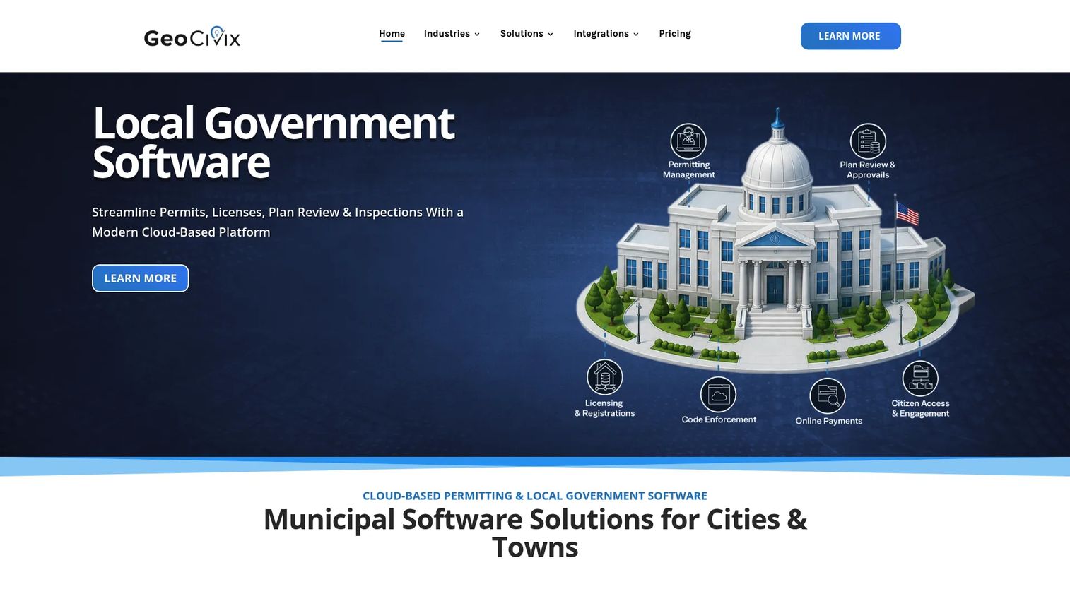
GeoCivix is cloud-based local government software for permitting, plan review, inspections, and citizen access. Its citizen self-service portal lets residents and contractors submit and track applications without calling the office. Electronic plan review moves markup and approvals online, which cuts the back-and-forth that stalls development projects.
Best for: Cities, counties, and public-sector agencies modernizing permitting and inspections with strong citizen access.
Key features
- Citizen self-service portal
- Electronic plan review
- Permit and inspection workflow automation
- Cloud access
- Transparency into application status
Why choose GeoCivix: Pick GeoCivix when public-facing service delivery and workflow visibility are the priority. The electronic plan review is the standout for jurisdictions where plan markup and approvals are the slow step.
Pricing: GeoCivix describes pricing as flexible and directs visitors to a ballpark estimate and quote flow rather than a public price.
It holds a 4.8/5 rating on Capterra, which is a positive signal for a public sector tool.
4. Citizenserve Permitting
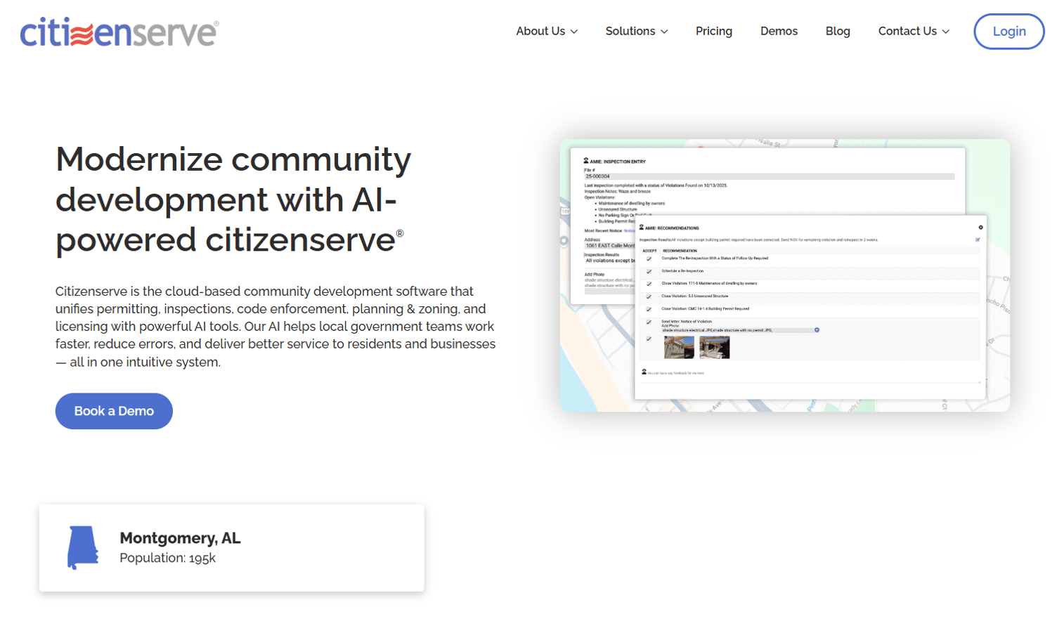
Citizenserve Permitting is cloud-based community development software covering permitting, inspections, code enforcement, planning, zoning, and licensing. It handles online permit submissions through a citizen portal and integrates electronic plan review with markup. Automated workflows and mobile inspections keep field and office staff on the same records.
Best for: Small to mid-sized municipalities that want a cloud permitting platform with public-facing self-service.
Key features
- Online permit submissions and citizen portal
- Integrated electronic plan review and markup
- Automated workflows and mobile inspections
- Code enforcement and licensing
- Planning and zoning tools
Why choose Citizenserve Permitting: It fits smaller government teams that want administrative efficiency and a resident-facing portal without a heavy implementation. Unlimited support and training are included, which lowers the risk for lean teams.
Pricing: Citizenserve prices from $1,500 per user per year, with the public resident and contractor portal available at no cost. Support and training are included in the plan. Pricing is confirmed on the vendor's pricing page.
5. POSSE PLS

POSSE PLS is cloud software for government and public-sector permitting and licensing workflows. Its strength is process control: workflow automation and rule enforcement keep complex approvals consistent across a large agency. Staff can search and work with agency data directly, which matters when records span many departments.
Best for: Government agencies that need permitting and licensing process automation at enterprise scale.
Key features
- Workflow automation
- Process and rule enforcement
- Search and work with agency data
- Records management
- Public sector compliance workflows
Why choose POSSE PLS: Choose it when process control, records, and enterprise public sector needs outweigh a lightweight rollout. The rule enforcement is built for agencies where consistency across many caseworkers is non-negotiable.
Pricing: POSSE PLS does not publish first-party pricing, which is typical for enterprise government software. Contact the vendor for a scoped quote. Third-party listings report strong user ratings, so request references during evaluation.
6. OpenGov Permitting & Licensing
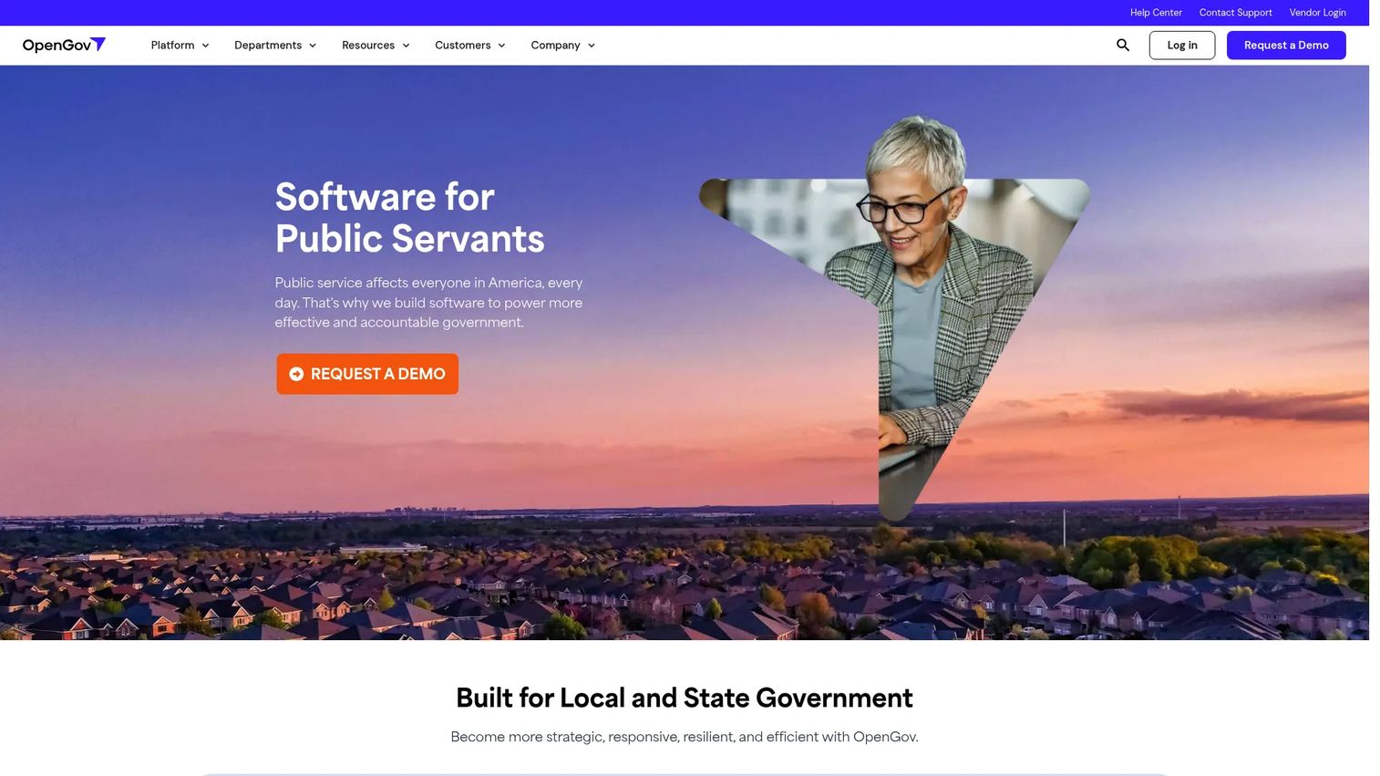
OpenGov Permitting & Licensing is cloud software for local and state governments managing permits, licenses, inspections, and related workflows. It leans into digital service delivery with an intuitive applicant portal, a virtual front desk, and a mobile inspection app. AI review and automated renewals are the newer capabilities that separate it from basic permitting tools.
Best for: Government agencies modernizing permit, license, inspection, and renewal workflows in one suite.
Key features
- Intuitive applicant portal and self-service tools
- Workflow automation and approvals
- Mobile app for inspections
- Automated renewals and AI review
- Related records linking
Why choose OpenGov Permitting & Licensing: It suits agencies standardizing digital service delivery across many record types, not just permits. The AI review and automated renewals reduce manual steps as volume grows.
Pricing: OpenGov does not publish pricing; access is request-a-demo only.
It holds a 4.5/5 rating on G2 across roughly 20 reviews, the strongest verified rating in this list.
7. P2 iLandMan
P2 iLandMan is cloud-based oil and gas land management software for teams managing leases, tracts, and land administration. It keeps lease and land information current in real time and pairs a database view with an interactive map, so you can move between records and geospatial context. API integration connects land data to the rest of the energy stack.
Best for: Oil and gas teams managing leases, tracts, ownership, and obligation monitoring with accuracy.
Key features
- Real-time lease and land information management
- Interactive database and map views
- API integration
- Tract and ownership tracking
- Obligation monitoring
Why choose P2 iLandMan: This is the pick when lease tracking, GIS, tract data, and ownership accuracy define your workflow. Real-time lease information is the differentiator for upstream teams where an expired lease or missed obligation is a costly error.
Pricing: P2 does not publish first-party pricing for iLandMan. Contact the vendor for a quote.
It holds a 3.5/5 rating on G2 based on a small number of reviews, so weigh references alongside the demo.
8. LandView
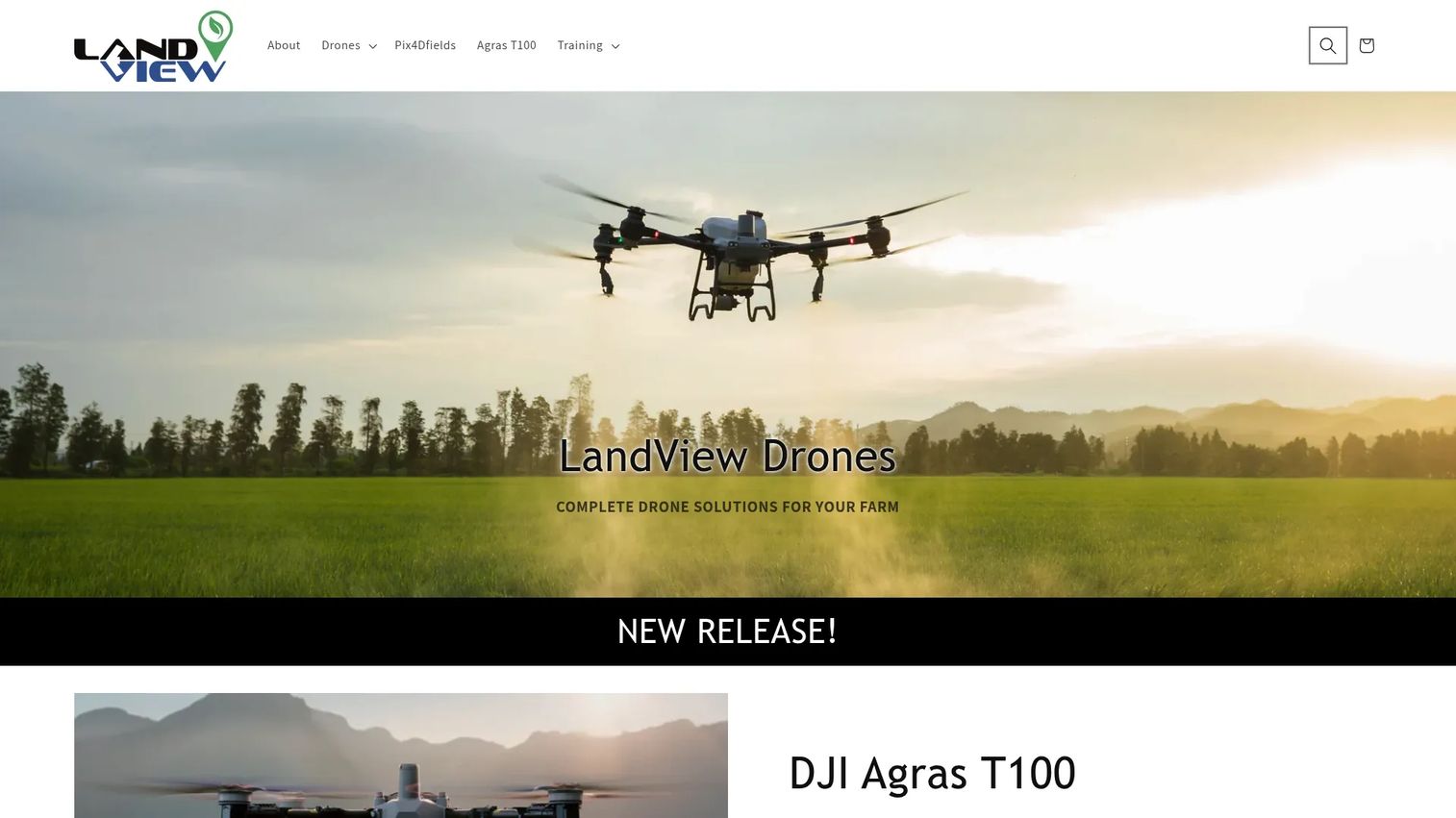
LandView focuses on drone-based mapping and land operations, with hardware bundles, training, and agronomy-oriented support. For teams whose land management leans heavily on fresh aerial GIS data, it pairs mapping drones with software like Pix4Dfields to turn flights into mapped, analyzable land data. It sits apart from the permitting tools by starting at the data capture layer.
Best for: Farm and land operators needing drone hardware bundles, mapping software, training, and support.
Key features
- Drone package bundles for agriculture and industrial use
- Mapping and thermal imaging
- Training and real-time support
- Parts and accessories
- Pix4Dfields mapping software access
Why choose LandView: Choose LandView when your GIS bottleneck is data freshness, not office workflow. If you need current aerial mapping and reporting on land conditions, starting at capture makes sense.
Pricing: LandView publishes Pix4Dfields software pricing at $480 per month or $2,690 per year, with a Spring 2026 promotion offering three months free on qualifying drone purchases.
Considerations
Before you commit, run each shortlisted tool through this checklist. The right choice is the one that clears your dominant bottleneck, not the one with the most features.
GIS and mapping depth
Ask how the tool handles geospatial visualization. Can you see parcels and tracts on an interactive map, or is mapping a bolted-on view? For GIS-heavy operations, evaluate layer support, boundary accuracy, and whether the map drives reporting or just displays it.
Cloud versus on-premise deployment
Cloud land management software means field staff and distributed teams get the same current records without VPNs or office visits. Confirm whether the vendor is cloud-native or cloud-hosted, how updates propagate, and what happens to access if connectivity drops during fieldwork.
Reporting and exports
Land reporting software is only useful if the data comes out clean. Check export formats, whether reports draw from live records, and how much manual re-keying the workflow removes. Excel export is table stakes for teams that share numbers with finance.
Integrations and interoperability
Land data rarely lives alone. Verify integrations with ERP, finance, and document systems, and whether an API exists for custom connections. Interoperability determines whether the tool becomes a single source of truth or another silo.
Data integrity and workflow automation
Ownership tracking, acreage history, and obligation monitoring depend on data that stays correct as it changes. Evaluate chain-of-title workflows, audit trails, and how automation enforces rules so records don't drift. Automation should reduce manual chasing, not add steps.
Conclusion
The eight tools here split cleanly by workflow. For cloud permitting and citizen access, Cloudpermit, GeoCivix, Citizenserve Permitting, and OpenGov Permitting & Licensing cover the public sector spectrum, with OpenGov carrying the strongest verified rating and POSSE PLS built for the largest agencies. For oil and gas land management software, P2 iLandMan and Pandell LandWorks handle lease, tract, and ownership accuracy. For GIS-heavy land operations that start at data capture, LandView pairs drones with mapping software.
Choose based on your dominant bottleneck. If permits stall your team, a permitting-first platform pays back faster than a GIS suite you barely use. If lease and ownership errors cost you money, prioritize chain-of-title depth over citizen portals. The longest feature list rarely wins; the tool that clears your slowest step does.
Shortlist two or three, request scoped demos, and validate with reference calls before you sign.
FAQs
Land management software is used to track land records, leases, permits, parcels, GIS data, ownership, obligations, and reporting from one system. It replaces scattered spreadsheets and shared folders with a single source of truth. Teams use it to keep records current, coordinate approvals, and pull clean reports without re-keying data.
The features that matter most depend on your workflow, but GIS mapping, reporting and exports, workflow automation, and data integrity are near-universal. Public sector teams weight permitting and citizen portals. Energy teams weight chain-of-title, acreage history, and lease tracking. Integrations with ERP and document systems matter for anyone who needs a single source of truth.
Cloud land management software is usually the better fit for distributed teams and field staff because everyone works from the same current records without VPNs or manual updates. On-premise can suit agencies with strict data residency rules or existing infrastructure. The practical question is whether your team needs anywhere access and automatic updates, which cloud delivers.
For oil and gas land management software, P2 iLandMan and Pandell LandWorks lead in this list. P2 iLandMan handles real-time lease and land information with interactive map views. Pandell LandWorks focuses on land asset mapping and chain-of-title workflows. Both prioritize the lease, tract, and ownership accuracy that upstream teams depend on.
GIS mapping software provides the geospatial layer, and land management software attaches records, ownership, and workflow to that map. Together they let you click a parcel and see its lease, ownership history, and obligations rather than reading rows in a table. The strongest tools let the map drive reporting, so a visual view produces a report without re-keying.
Look for land reporting software that draws from live records, exports to formats your teams actually use like Excel and PDF, and removes manual re-keying. Check whether reports update automatically as records change, and whether you can build custom queries. Reporting that lags behind the underlying data creates the same fragmentation the software should fix.
Compare land management software solutions by mapping each tool to your dominant bottleneck: permitting, GIS depth, lease tracking, or cloud collaboration. Assess GIS and mapping depth, cloud versus on-premise delivery, reporting and exports, integrations, and data integrity. Shortlist two or three, request scoped demos, and validate with reference calls before committing.
Land administration software refers to maintaining authoritative records of tenure, ownership, and rights, the formal discipline of who holds what. Land management software handles the operational, day-to-day workflow of permits, leases, parcels, and reporting. Most modern platforms blur the line, covering both the record of ownership and the workflow that acts on it.