


Your visitors are lost. Not metaphorically. They are standing in a lobby, staring at a static directory board, trying to figure out which elevator bank gets them to the third-floor clinic. Meanwhile, your facilities team is managing 40 floors of space in a spreadsheet that was last accurate two moves ago.
Most teams treat this as a signage problem. Print a better map. Add more arrows. It rarely works, because [the underlying issue is not the sign. It is that your building data lives in disconnected CAD files, badge systems, and someone's memory, with no shared map layer connecting them.
The indoor mapping software market was valued at roughly USD 1.42 billion in 2025 and is projected to grow at a 9.8% CAGR through 2034, according to Intel Market Research (2025).](https://www.intelmarketresearch.com/indoor-mapping-software-market-37845) That growth is not about prettier maps. It is about turning static floor plans into a live operational layer that visitors, staff, and systems can all read.
For a product manager, that shift matters. You are not buying a map. You are buying a workflow that has to scale across venues, stay accurate through frequent building changes, and feed data back into the systems you already run.
What's inside
This guide is for product managers, facilities leaders, and operations teams comparing enterprise indoor mapping tools in 2026. We selected platforms based on four criteria that matter for real deployments:
- Creation workflow: how fast you go from floor plan to published map
- Operations depth: wayfinding plus space management, asset tracking, and safety
- Integration readiness: developer APIs, SDKs, and data connections
- Venue and scale fit: whether the tool matches your building type and footprint
No tool was included by default. Each earns its place on a specific job.
TL;DR
- Best for scale and speed: Mappedin, with AI map creation and per-map pricing that starts free.
- Best for indoor GIS and facilities: ArcGIS Indoors, if you already run an Esri stack for space management and safety.
- Best for global multi-venue deployments: Pointr, with AI mapping and indoor positioning across web, mobile, and kiosk.
- Best for a buyer-friendly shortlist: Floorable, with transparent per-property pricing and 3D maps.
- Best for accessible navigation: GoodMaps and Waymap, both built around inclusive, real-time indoor guidance.
- Best for app-free regional deployments: Mapxus, with browser-based maps you open from a QR code.
What is indoor mapping software
Indoor mapping software is a platform that converts building floor plans into digital, searchable indoor maps that support wayfinding, navigation, space management, and operational analytics inside large venues. It turns static CAD or PDF plans into an interactive layer that people and systems can query in real time.
Unlike outdoor mapping, which relies on GPS, indoor mapping solutions depend on floor-aware data, indoor positioning, and venue-specific points of interest. The result is a map that knows the difference between floor 2 and floor 12, and can route a visitor between them.
Key capabilities most indoor map software includes:
- Map creation: convert floor plans, CAD, BIM, lidar, or point clouds into structured indoor maps
- Wayfinding and indoor navigation: turn-by-turn routing across floors and buildings
- Indoor positioning: locate users without GPS, using beacons, wifi, or sensor fusion
- Space management: track rooms, desks, occupancy, and space planning
- Asset tracking: monitor equipment and resources across a venue
- Emergency response: floor-aware maps for safety, evacuation, and incident routing
- Developer APIs and SDKs: embed maps in web, mobile, and kiosk experiences
- Analytics: occupancy analytics, foot traffic, and engagement insights
- Multi-channel delivery: mobile wayfinding, kiosk map screens, and web embeds
The category spans two jobs that often get conflated. One is visitor experience: helping people find places. The other is operations: helping teams manage the spaces, assets, and safety workflows behind those places. The best indoor mapping tools do both from a single map model.
When to use indoor mapping software
Guide visitors through complex venues
Airports, hospitals, malls, universities, and stadiums share one problem: people cannot find things. Indoor navigation and mobile wayfinding cut the "where is it" friction, reduce missed appointments, and take pressure off front-desk staff. If your venue generates repeated "how do I get to X" questions, this is your trigger.
Manage space, assets, and occupancy
If facilities teams are running moves, desk assignments, and occupancy planning out of spreadsheets, an indoor GIS layer gives them a live source of truth. Space management and asset tracking on a shared map reduce coordination overhead and make reporting defensible.
Support safety and emergency response
Floor-aware maps matter most when something goes wrong. Emergency response teams need to see where people and assets are, route responders, and manage evacuation. Regulated venues often adopt indoor mapping for this reason first, then expand into wayfinding.
Indoor mapping software comparison
Here is a side-by-side view of the seven platforms. Pricing and ratings reflect what each vendor publishes on their own site. Several enterprise vendors quote custom pricing and do not publish a public G2 rating, so those cells are left open rather than estimated.
| # | Product | Best for | Key differentiator | Pricing | G2 rating |
|---|---|---|---|---|---|
| 1 | Mappedin | Scaling maps and wayfinding | AI map creation, per-map pricing | Free; Pro $165 per map/mo | Not published |
| 2 | ArcGIS Indoors | Indoor GIS and facilities ops | CAD/BIM/lidar into indoor GIS | Contact sales | Not published |
| 3 | Pointr | Global multi-venue rollouts | AI mapping plus indoor positioning | Custom | 5.0/5 |
| 4 | Floorable | Buyer-friendly shortlist | Transparent per-property pricing | Free; Starter $125/mo | Not published |
| 5 | GoodMaps | Accessible indoor navigation | Lidar-based, no hardware install | Free app; partnership-based | Not published |
| 6 | Waymap | Signal-free accessible routing | Motion-based positioning | Free for users; venue-priced | 4.3/5 |
| 7 | Mapxus | App-free regional deployments | Browser maps via QR code | Contact vendor | Not published |
Best indoor mapping software tools for 2026
1. Mappedin
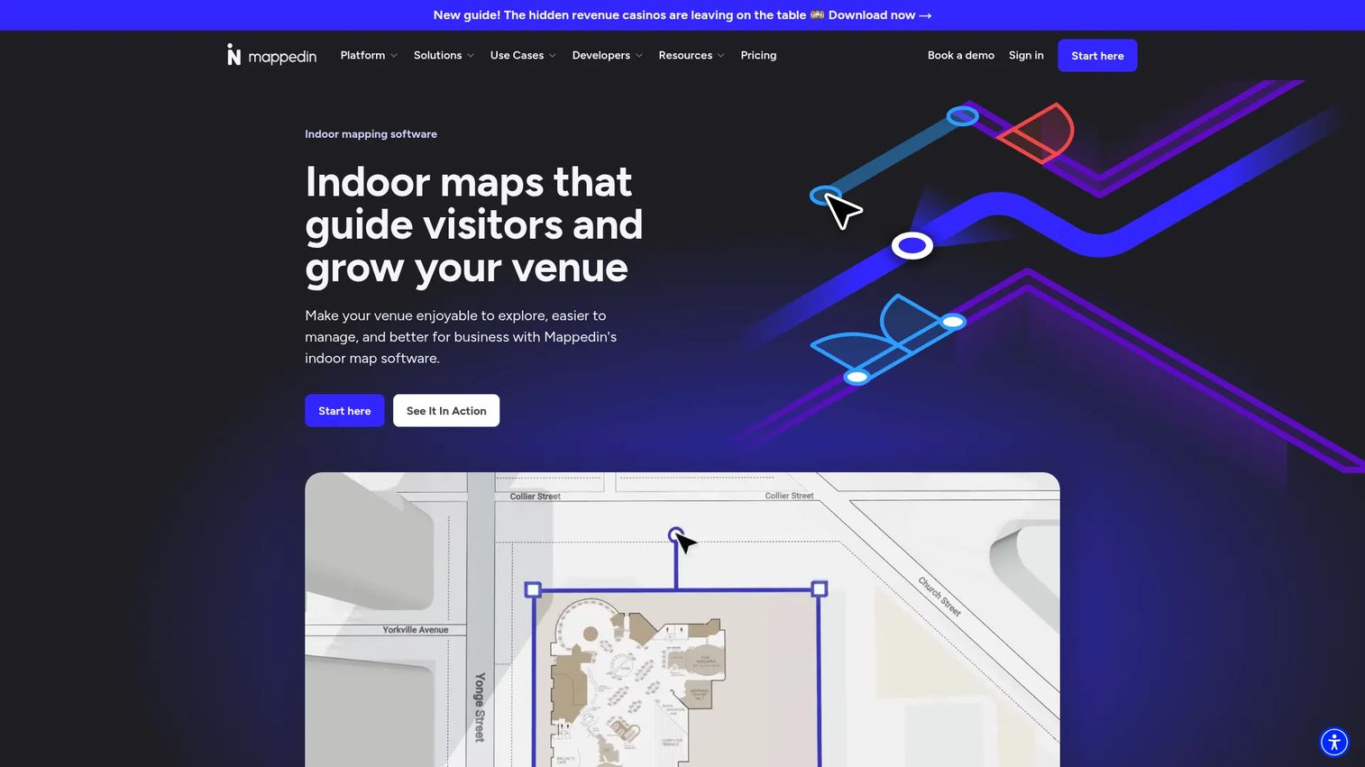
Mappedin is an indoor mapping and wayfinding platform built for venues and enterprises that need to publish maps at scale. It leans hard into speed of creation, using AI to generate indoor maps directly from floor plans, then lets teams refine and publish through a collaborative editor. The developer portal, SDKs, and APIs make it a strong fit when maps have to live inside your own web and mobile apps.
The pricing model is unusual and worth understanding. Mappedin charges per map rather than per user or per workspace, which changes how you plan a rollout. A single venue with unlimited floors can start free, and SDK and API access unlocks on the paid tier.
Best for: Product and operations teams that need to ship indoor maps and navigation across many venues quickly.
Key strengths
- AI map creation from floorplans
- Indoor navigation and wayfinding
- Real-time collaboration with share and embed
Why choose Mappedin: If your bottleneck is turning a pile of floor plans into published, maintainable maps, Mappedin's AI creation and per-map pricing align cost with actual output. It fits teams that value fast iteration and clean developer access over a heavy GIS stack.
Mappedin pricing: The Free plan includes unlimited floors at $0. Pro is $165 per map per month and adds SDK and API access plus advanced features. Partner and Solution tiers are custom quoted for larger deployments.
2. ArcGIS Indoors
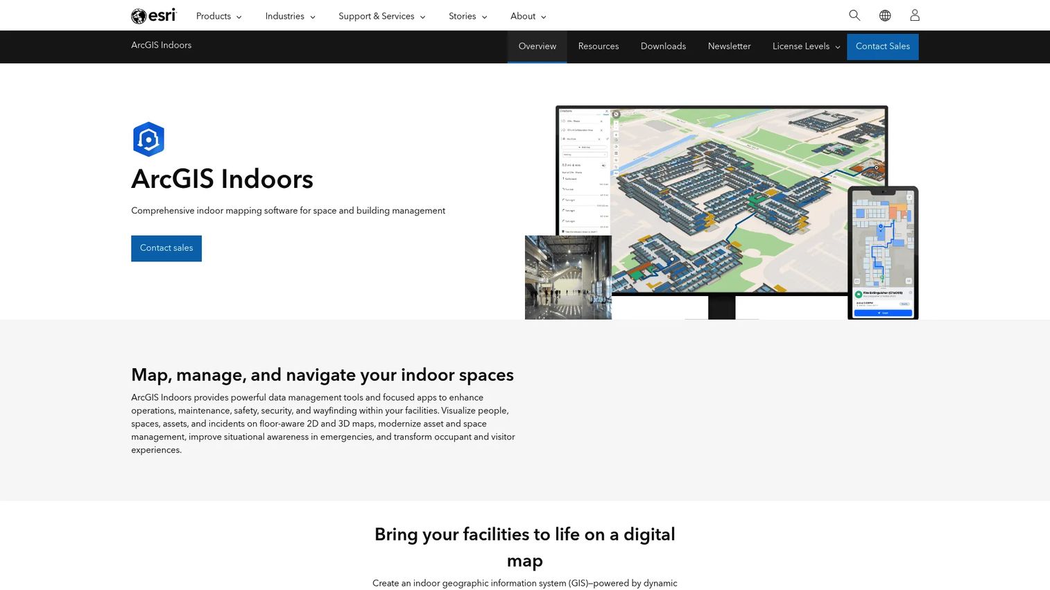
ArcGIS Indoors is Esri's indoor mapping and space management product, built on the ArcGIS platform. It frames indoor mapping as a system of record rather than a standalone map, which is exactly what facilities-heavy organizations tend to want. Maps are built from CAD, BIM, lidar, and point clouds, then used across floor-aware 2D and 3D views, wayfinding, and space planning.
The platform breaks into modules and apps aimed at different users, from facilities managers doing space management to employees finding a meeting room. If your organization already runs Esri for outdoor GIS, ArcGIS Indoors extends that same data model indoors.
Best for: Organizations that need indoor GIS tied to facilities, wayfinding, and space management in one governed system.
Key strengths
- Floor-aware 2D and 3D indoor maps
- Indoor wayfinding and navigation
- Space planning and management
Why choose ArcGIS Indoors: This is the pick when indoor mapping is one piece of a larger GIS and operations strategy. The tradeoff is depth over speed: you get a serious indoor GIS platform that connects CAD and BIM to space and safety workflows.
ArcGIS Indoors pricing: Esri does not publish public pricing for ArcGIS Indoors. The product page presents it as contact-sales only, so pricing depends on your ArcGIS footprint and deployment scope.
3. Pointr
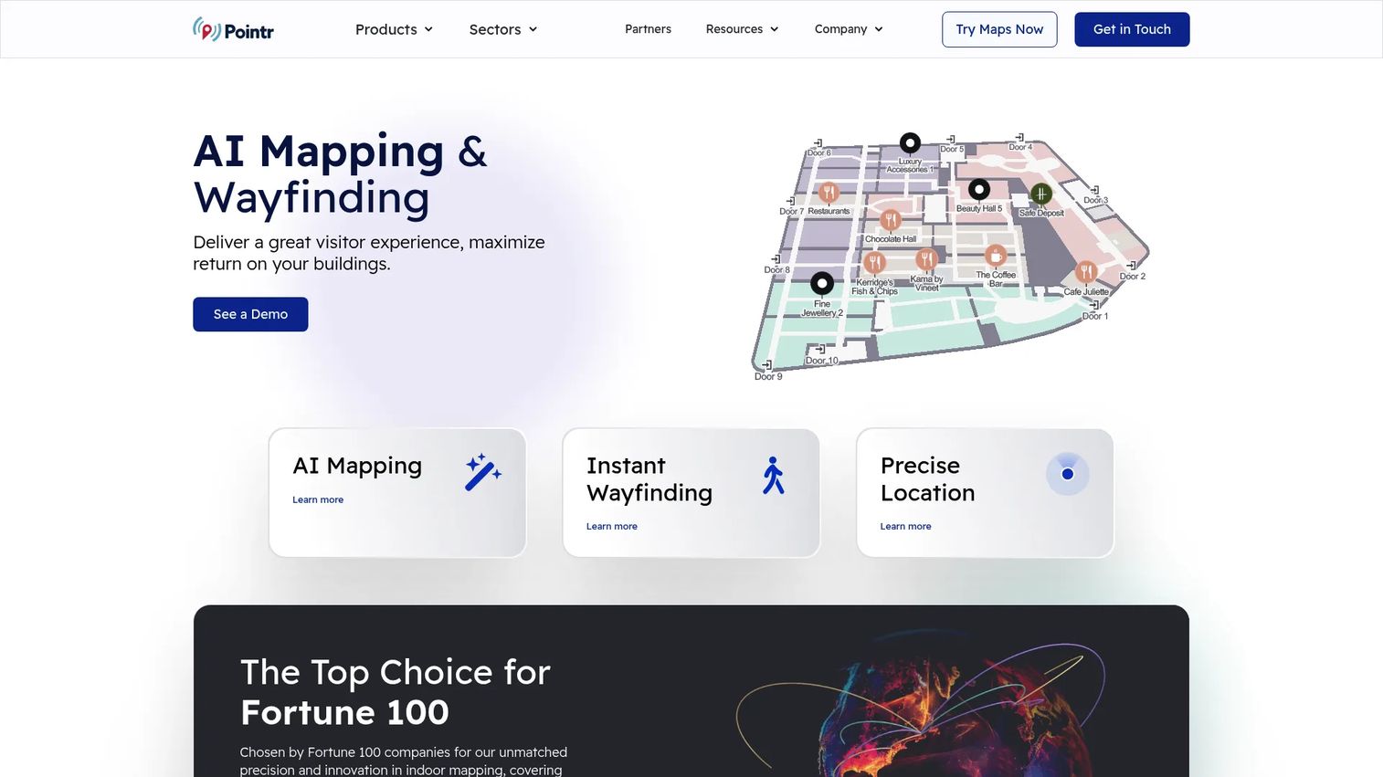
Pointr positions itself around scale, targeting large venues and enterprises running maps across many buildings and regions. Its MapScale technology uses AI to generate indoor maps, while Deep Location handles indoor positioning and navigation. Pointr Cloud ties content management and analytics together, and the platform is built to deliver across web, mobile, and kiosk.
What stands out is the combination of AI-assisted map creation with real indoor positioning. That pairing matters when you need not just a map but the ability to place users on it accurately, across hundreds of venues, with consistent styling and search.
Best for: Global or multi-venue operators that need indoor maps, positioning, and wayfinding deployed consistently at scale.
Key strengths
- AI-powered indoor mapping with MapScale
- Indoor positioning and navigation with Deep Location
- Content management and analytics via Pointr Cloud
Why choose Pointr: Choose Pointr when your deployment spans many large venues and you need positioning depth, not just static maps. It earns a 5.0/5 on G2 across its reviewed profile, and its industry segmentation shows a platform tuned for enterprise rollouts.
Pointr pricing: Pointr does not publish public pricing. The company offers tailored pricing and asks prospects to contact its team, so cost scales with venue count and feature scope.
4. Floorable
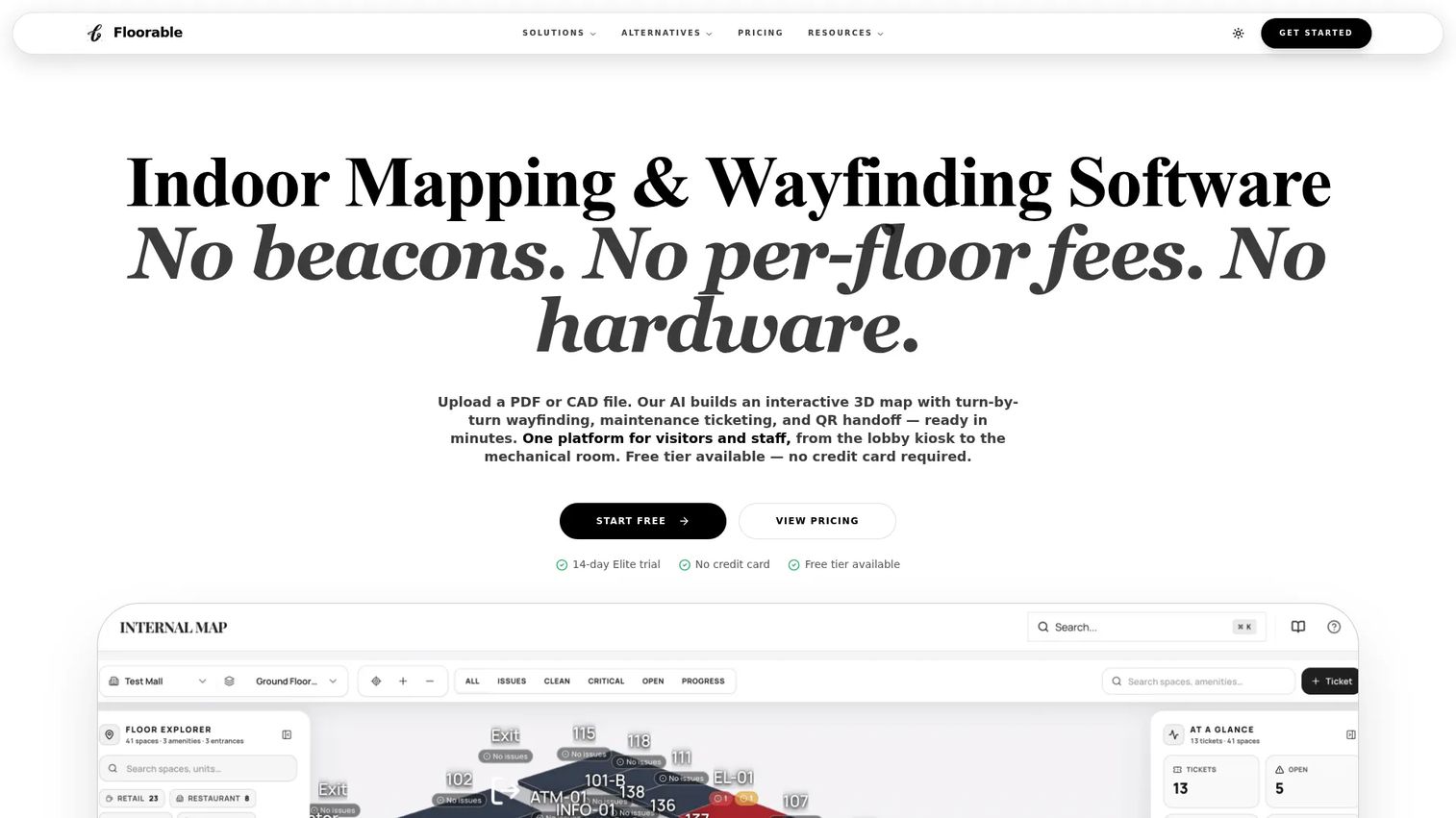
Floorable takes a refreshingly transparent approach for a category where most vendors hide pricing behind a sales call. It offers interactive 3D indoor maps, wayfinding, ticketing, analytics, and automation, with a license-pool model where one license equals one published property. For a product manager building a shortlist, that clarity makes budgeting and scenario planning far easier.
The tiered structure scales from a free plan up to Elite, with unlimited floors on paid tiers and seats included by tier. It fits organizations that want to map one or several properties without negotiating a custom contract to see a number.
Best for: Teams that want indoor mapping and wayfinding across one or more properties with predictable, published pricing.
Key strengths
- Interactive 3D indoor maps and mapverse
- Wayfinding, ticketing, analytics, and automation
- Unlimited floors on paid tiers, license assigned per property
Why choose Floorable: If pricing transparency and quick shortlisting matter to your evaluation, Floorable lets you model costs before a sales conversation. The per-property license model rewards focused deployments over sprawling ones.
Floorable pricing: The Free plan is $0. Starter is $125 per month ($1,500/yr), Professional is $375 per month ($4,500/yr), and Elite is $792 per month ($9,500/yr). One license equals one published property, with unlimited floors on paid tiers.
5. GoodMaps
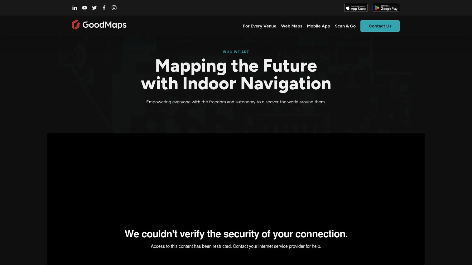
GoodMaps builds indoor navigation and wayfinding around accessibility, with real-time guidance designed to work for everyone, including people who are blind or have low vision. It uses lidar scanning and 3D point clouds to build maps, and delivers experiences through GoodMaps Web, native iOS and Android apps, and an embeddable SDK called GoodMaps Dot. A notable point: it works with no hardware installations, which lowers the operational burden of deployment.
This is a platform where visitor experience is the headline outcome. If your venue serves the public and inclusive navigation is a mandate rather than a nice-to-have, GoodMaps is built for that job first.
Best for: Venues that need accessible indoor wayfinding across app, web, and embedded experiences.
Key strengths
- No hardware or zero installations
- Lidar scanning and 3D point clouds
- GoodMaps Web, mobile apps, and Dot SDK embedding
Why choose GoodMaps: Choose GoodMaps when accessibility and public visitor experience drive the decision. The lidar-based, hardware-free approach keeps deployment lean while delivering real-time indoor navigation across multiple surfaces.
GoodMaps pricing: GoodMaps does not publish a public price. The mobile app is free for users on iOS and Android, and GoodMaps Web is included with a GoodMaps partnership, so cost is arranged through that partnership.
6. Waymap
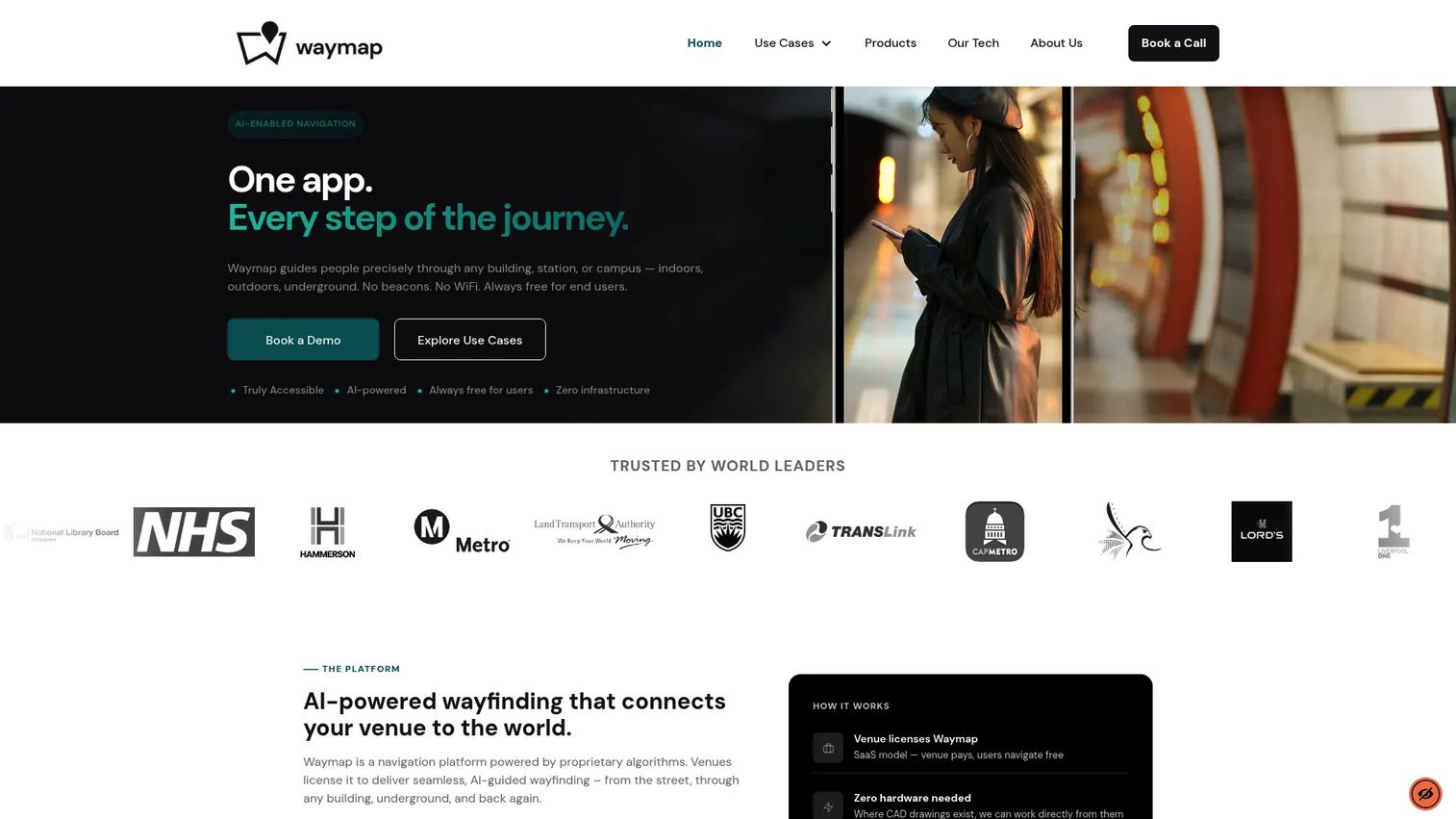
Waymap is an accessibility-first navigation platform that spans indoor and outdoor environments, including venues, transit, and cities. Its differentiator is signal-free positioning: SmartStep uses AI-powered motion sensing to locate users without relying on beacons or constant connectivity, paired with Waymap Pro VPS and lidar scanning. Routing is step-free and audio-guided, turn by turn.
For complex venues where installing and maintaining positioning hardware is impractical, the motion-based approach is a meaningful practical advantage. It moves visitors reliably even where signals drop out.
Best for: Venues that need signal-free, accessible wayfinding for visitors moving through complex spaces.
Key strengths
- AI-powered SmartStep motion-based positioning
- Waymap Pro VPS with lidar scanning
- Step-free audio turn-by-turn routing
Why choose Waymap: Choose Waymap when accessible, hardware-light navigation is the priority and your venue cannot depend on continuous positioning signals. It carries a 4.3/5 rating on the closest available third-party profile, though buyers should confirm that reflects Waymap specifically.
Waymap pricing: Waymap does not display public pricing. The product page directs prospects to request Core and Pro pricing, and the FAQ notes that Waymap is free for end users while venues and building owners are charged.
7. Mapxus
Mapxus is an indoor spatial intelligence platform built around app-free navigation. Visitors open a browser-based indoor map from a QR code or URL, no download required, and get turn-by-turn routing across floors and buildings, including indoor-to-outdoor transitions. Behind the map, POI discovery, a Service Center CMS, and baseline analytics support venue operations and map management.
Removing the app-install step is a real reduction in visitor friction, which is why Mapxus fits public venues and regional or multi-site deployments well. It is a pragmatic choice when you want reach without asking every visitor to download something.
Best for: Venues that need a browser-based indoor map and wayfinding layer without requiring an app download.
Key strengths
- App-free browser-based indoor maps via QR code or URL
- Turn-by-turn routing across floors and buildings with indoor-to-outdoor transition
- POI discovery, Service Center CMS, and baseline analytics
Why choose Mapxus: Choose Mapxus when app-free access and regional deployment fit your visitor profile. The QR-to-map model lowers the barrier to first use, which matters for one-time or infrequent visitors.
Mapxus pricing: Mapxus does not publicly display a pricing figure on its site. Pricing appears to be arranged directly, so you will need to contact the vendor for a quote scoped to your venues.
Considerations before you buy
Creation workflow and maintainability
Ask how a floor plan becomes a live map, and more importantly, how it stays accurate. Buildings change constantly. A platform that makes updates painful will decay fast. Evaluate AI-assisted map creation, editor collaboration, and how CAD and BIM changes flow through.
Operations depth beyond navigation
Wayfinding is the visible layer. Underneath, decide whether you need space management, asset tracking, occupancy analytics, and emergency response. If facilities and safety teams are stakeholders, weight this heavily. A pure navigation tool will not serve a space-planning mandate.
Integration and developer APIs
Your indoor map has to talk to your other systems: badge access, room booking, CRM, or a custom app. Check developer APIs, SDK coverage, and which data sources connect. Shallow integrations create silos, which is the exact problem you are trying to solve.
Delivery across channels
Confirm the platform delivers where your users are. That means mobile wayfinding, kiosk map screens, and web embeds. Some venues need all three. Verify each channel is a first-class experience, not an afterthought bolted on.
Venue fit and scale
Match the tool to your building type and footprint. A single hospital campus has different needs than 200 retail locations. Per-map, per-property, and enterprise pricing models reward different deployment shapes, so map cost to your actual rollout.
Conclusion
The right indoor mapping software depends less on the brand and more on the job you are solving. Start with venue type, then narrow by creation workflow, integration depth, and how much operations control you need beyond navigation.
If you are scaling maps fast across venues, Mappedin's AI creation and per-map pricing fit. If indoor mapping is part of a broader GIS and facilities strategy, ArcGIS Indoors is the system-of-record choice. For global positioning at scale, Pointr leads. For transparent pricing and quick shortlisting, Floorable helps. And when accessible visitor experience is the mandate, GoodMaps and Waymap are purpose-built, while Mapxus wins on app-free reach for regional deployments.
Whatever you shortlist, the winning move is the same: pilot one venue, measure whether visitors and staff actually use the map, and only then scale. A map nobody opens is just an expensive PDF.
Interactive product experiences also help teams show software the way indoor maps show buildings, letting users explore at their own pace. If you evaluate GTM tools alongside your mapping stack, Guideflow lets you capture, edit, personalize, and share guided demos, then analyze engagement with built-in ai tooling that lets teams collaborate and integrate with your existing stack.
Start your journey with Guideflow today!
FAQs
Indoor mapping software turns building floor plans into interactive digital maps used for wayfinding, indoor navigation, space management, asset tracking, and emergency response. Venues use it to help visitors find places and to help operations teams manage the spaces behind those places. It replaces static directory boards and disconnected floor-plan files with a single live map layer.
It varies with venue size, source data quality, and the platform. Tools with AI map creation can generate a draft map from floor plans in hours, then require review and refinement. Larger or more complex venues using CAD, BIM, or lidar inputs take longer because the data model is richer and often needs validation before publishing.
Most indoor map software accepts floor plans as CAD or PDF, and enterprise platforms also ingest BIM models, lidar scans, and point clouds. The platform converts these into a structured, floor-aware map with points of interest and routing paths. The cleaner and more standardized your source files, the faster the conversion.
Indoor mapping is the creation of the digital map itself: the floors, rooms, POIs, and structure. Indoor navigation is the routing layer on top, giving turn-by-turn directions and often placing the user on the map through indoor positioning. You need mapping first; navigation is what makes the map actionable for a visitor moving through the building.
Large, complex venues drive most adoption: airports, hospitals, universities, shopping malls, stadiums, corporate campuses, and transit hubs. These environments combine heavy visitor traffic with significant space management and safety needs. Regulated industries often adopt it first for emergency response, then expand into wayfinding and occupancy analytics.
Yes. Most platforms deliver across mobile wayfinding, kiosk map screens, and web embeds, and several offer app-free browser maps opened from a QR code. When evaluating, confirm each channel is a full experience rather than a stripped-down version, since visitors expect the same quality on a kiosk as on their phone.
Yes. Beyond wayfinding, many platforms include space management, occupancy analytics, asset tracking, and emergency response tooling. Indoor GIS platforms in particular tie these into a system of record, so facilities teams can plan moves, track desks, and route responders from the same map. This operations depth is often the deciding factor for enterprise buyers.
Focus on five things: how fast floor plans become maintainable maps, operations depth beyond navigation, integration and developer APIs, delivery across mobile and kiosk channels, and venue and scale fit. Match the pricing model, whether per map, per property, or custom enterprise, to your actual rollout. Then pilot one venue and measure real usage before scaling.